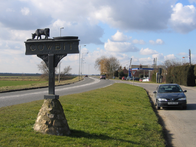
Cowbit
Civil Parish in Lincolnshire South Holland
England
Cowbit
Cowbit is a civil parish located in the county of Lincolnshire, in the eastern part of England. It is situated approximately 4 miles northeast of the town of Spalding and covers an area of about 1,500 acres. The parish is primarily a rural area with a small population of around 1,000 residents.
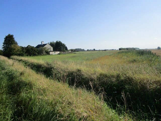
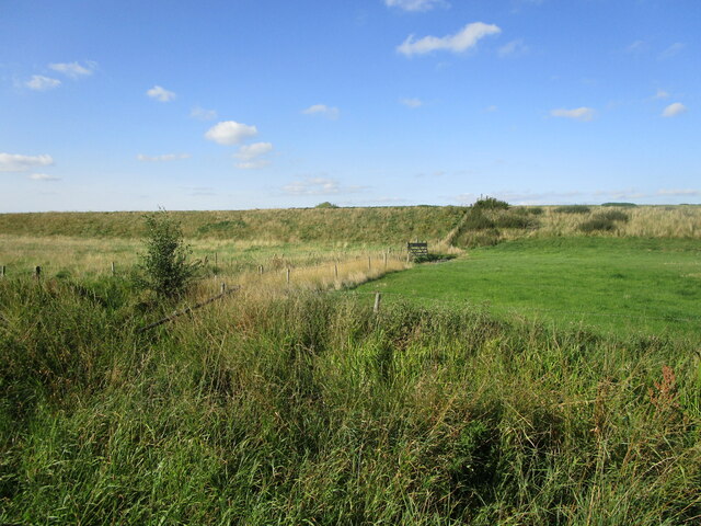
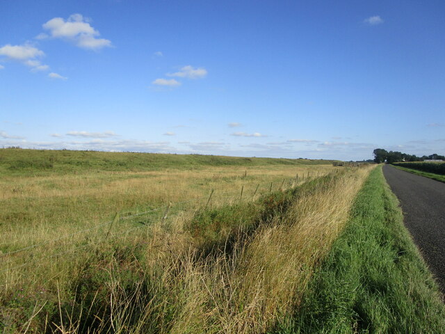
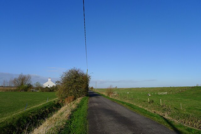
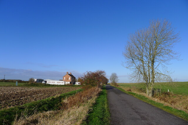
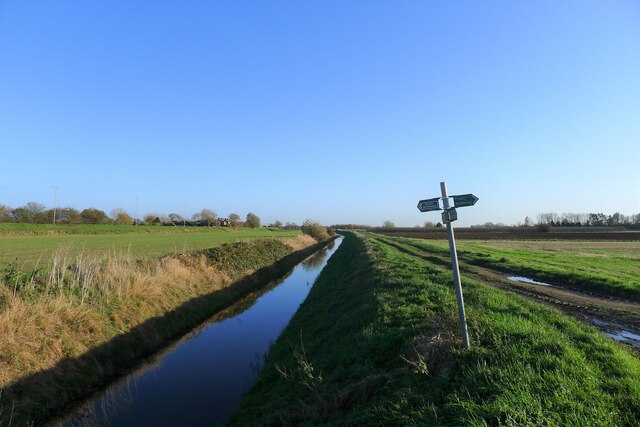
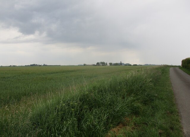
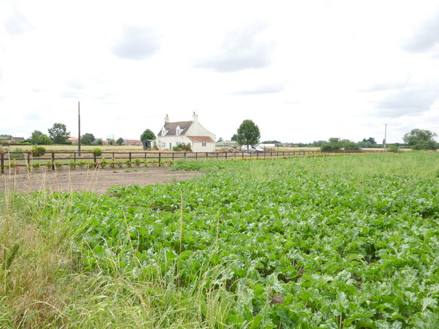
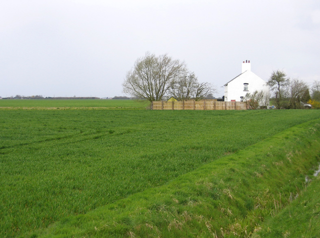
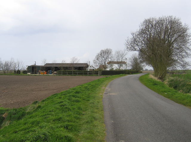
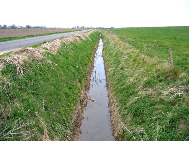
Cowbit is known for its picturesque countryside and agricultural landscape, characterized by vast fields and farmland. The area is predominantly used for arable farming, with crops such as wheat, barley, and potatoes being cultivated. The flat terrain and fertile soil make it an ideal location for agriculture.
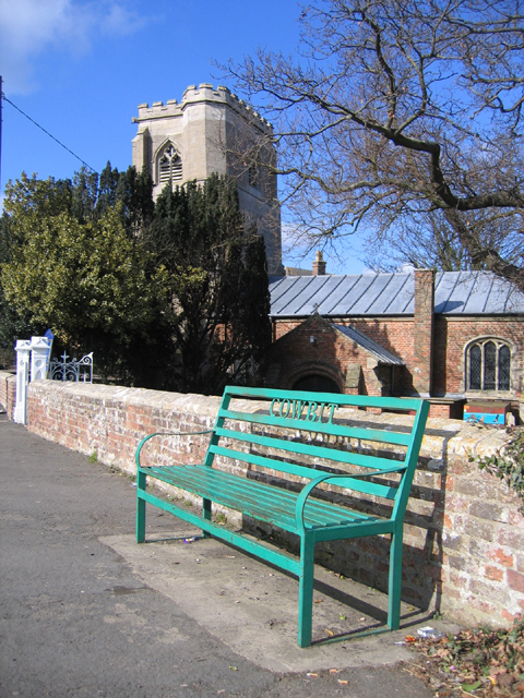
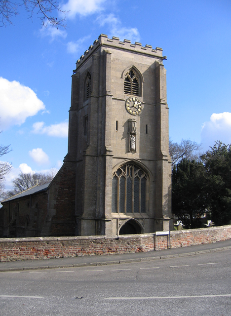
The village itself is a small, tight-knit community with a range of amenities and services for its residents. These include a primary school, a village hall, a post office, and a local pub. The village also has a church, St. Mary's, which dates back to the 12th century and is an important historical landmark in the area.
Despite its relatively small size, Cowbit has a strong sense of community spirit, with various events and activities organized throughout the year. These include the Cowbit Village Festival, which showcases local talent and entertainment, as well as the annual Cowbit Fun Run, which attracts participants from both the village and surrounding areas.
Overall, Cowbit offers a tranquil and idyllic setting for those seeking a peaceful rural lifestyle, while still providing essential amenities and a close-knit community.
If you have any feedback on the listing, please let us know in the comments section below.
Cowbit Images
Images are sourced within 2km of 52.740368/-0.136561 or Grid Reference TF2517. Thanks to Geograph Open Source API. All images are credited.
Cowbit is located at Grid Ref: TF2517 (Lat: 52.740368, Lng: -0.136561)
Administrative County: Lincolnshire
District: South Holland
Police Authority: Lincolnshire
What 3 Words
///geese.drip.diagram. Near Cowbit, Lincolnshire
Nearby Locations
Related Wikis

Cowbit
Cowbit (locally pronounced Cubbit) is a village and civil parish in the South Holland district of Lincolnshire, England. The population of the civil parish...

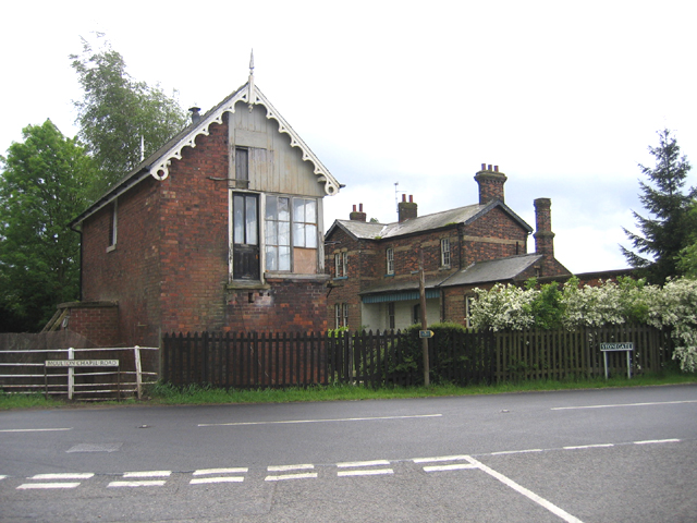
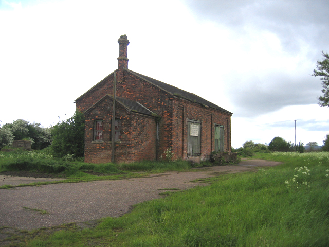
Cowbit railway station
Cowbit railway station was a station in Cowbit, Lincolnshire, England. It was located on the route between Spalding and March. == History == The station...

South Holland District
South Holland is a local government district of Lincolnshire, England. The council is based in Spalding. Other notable towns and villages include Crowland...

Peak Hill, Lincolnshire
Peak Hill is a hamlet in the South Holland district of Lincolnshire, England. It is situated 4 miles (6 km) south from Spalding and 10 miles (16 km) north...

Spalding Rural District
Spalding was a rural district in Holland in Lincolnshire, England from 1894 to 1974. It was formed under the Local Government Act 1894 from the Spalding...

South Holland and The Deepings (UK Parliament constituency)
South Holland and The Deepings is a constituency in Lincolnshire represented in the House of Commons of the UK Parliament since its 1997 creation by John...
Gordon Boswell Romany Museum
The Gordon Boswell Romany Museum is the lifetime's work of Gordon Boswell (died 27 August 2016, aged 76), who amassed a collection of artefacts, photographs...

Moulton Chapel
Moulton Chapel is a village in the South Holland district of Lincolnshire, England. It is on the B1357 road, 4 miles (6 km) south from Moulton, 5 miles...
Related Videos
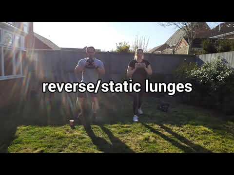
Lower body workout on Lockdown uk
Workout from home.
Nearby Amenities
Located within 500m of 52.740368,-0.136561Have you been to Cowbit?
Leave your review of Cowbit below (or comments, questions and feedback).