Counthorpe and Creeton
Civil Parish in Lincolnshire South Kesteven
England
Counthorpe and Creeton
Counthorpe and Creeton is a civil parish located in the county of Lincolnshire, England. It is situated in the South Kesteven district and covers an area of approximately 7.3 square kilometers. The parish is made up of two small villages, Counthorpe and Creeton, which are located about 8 miles south of the town of Grantham.
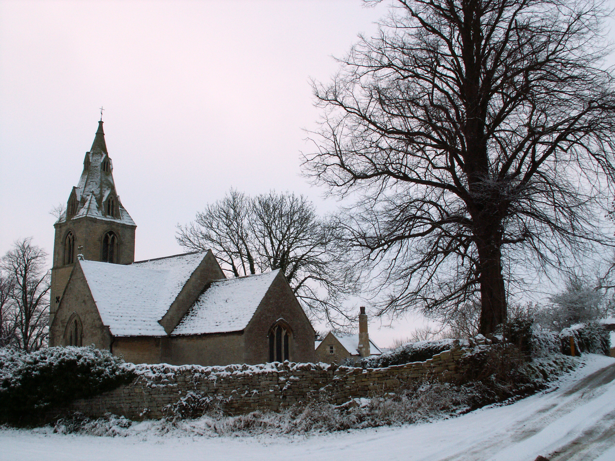
Counthorpe is a small and charming village with a population of around 100 residents. It is known for its picturesque countryside and peaceful atmosphere. The village is home to a historic church, St. John the Baptist, which dates back to the 12th century. The church is a notable landmark and attracts visitors interested in its architectural and historical significance.
Creeton, on the other hand, is a slightly larger village with a population of approximately 250 residents. It is located just west of Counthorpe and is known for its beautiful stone cottages and scenic surroundings. The village also features a notable church, St. Peter and St. Paul, which is a Grade I listed building and dates back to the 13th century.
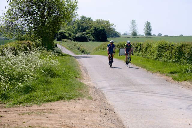
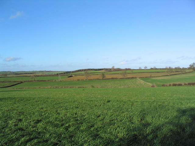
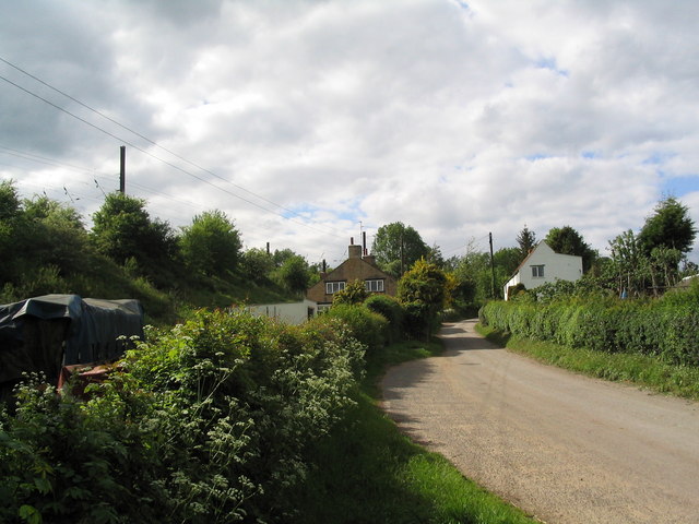
Both villages offer a peaceful and rural lifestyle, with a strong sense of community. They are surrounded by farmland and offer opportunities for outdoor activities such as walking, cycling, and horse riding. The wider area of South Kesteven provides easy access to larger towns and cities such as Grantham and Stamford, offering a range of amenities and services.
If you have any feedback on the listing, please let us know in the comments section below.
Counthorpe and Creeton Images
Images are sourced within 2km of 52.773463/-0.51557 or Grid Reference TF0020. Thanks to Geograph Open Source API. All images are credited.


Counthorpe and Creeton is located at Grid Ref: TF0020 (Lat: 52.773463, Lng: -0.51557)
Administrative County: Lincolnshire
District: South Kesteven
Police Authority: Lincolnshire
What 3 Words
///apart.transit.discloses. Near Corby Glen, Lincolnshire
Nearby Locations
Related Wikis
Counthorpe and Creeton
Counthorpe and Creeton is a civil parish in the South Kesteven district of Lincolnshire, England. According to the 2001 census it had a population of...
Creeton
Creeton is a hamlet in the civil parish of Counthorpe and Creeton in the South Kesteven district of Lincolnshire, England. It is situated 3 miles (5 km...
Counthorpe
Counthorpe is a hamlet in the civil parish of Counthorpe and Creeton in the South Kesteven district of Lincolnshire, England. It adjoins the hamlet of...
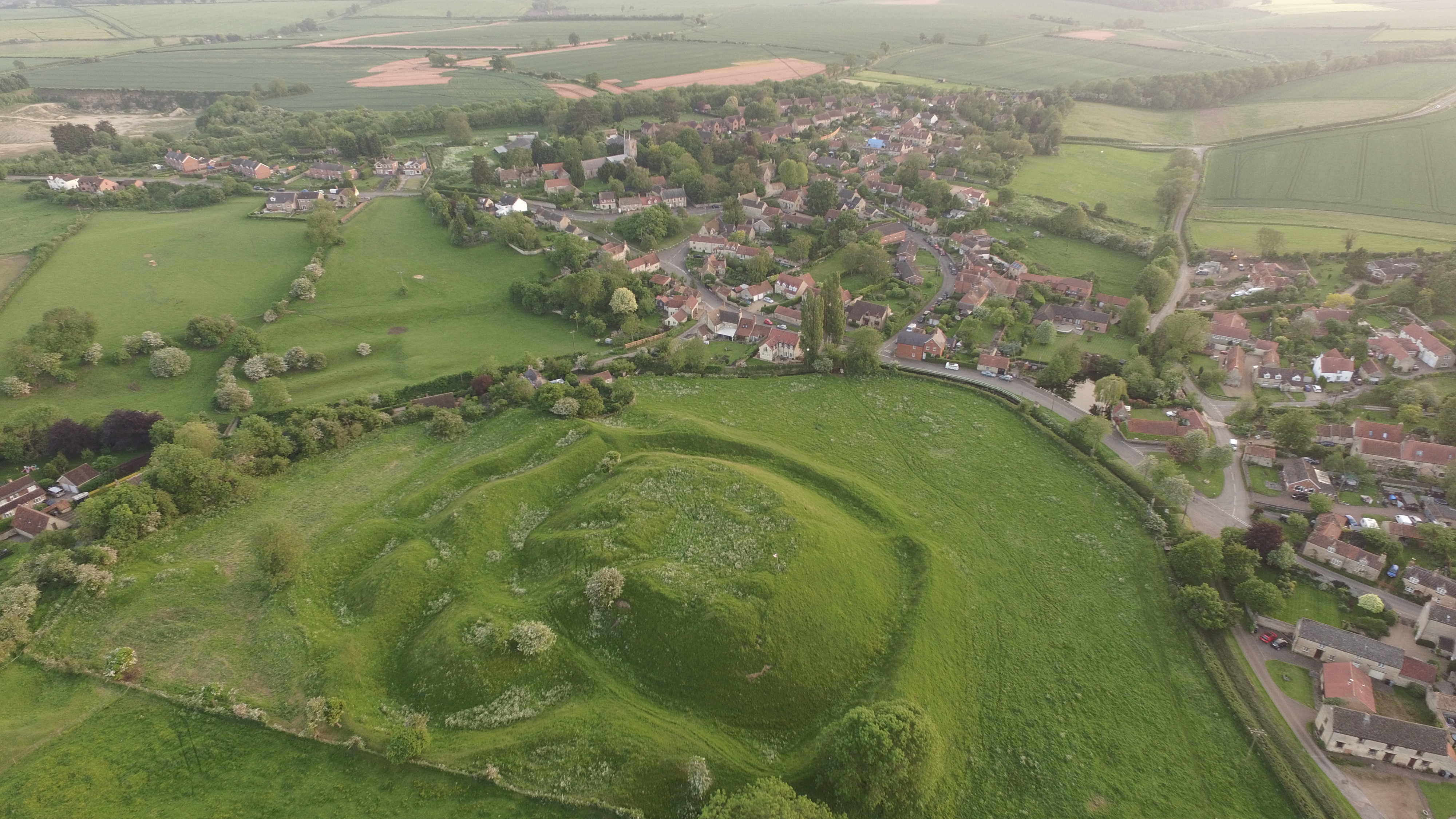
Bytham Castle
Bytham Castle was a castle in the village of Castle Bytham in Lincolnshire (grid reference SK992186.) The castle is thought to be of early Norman origin...
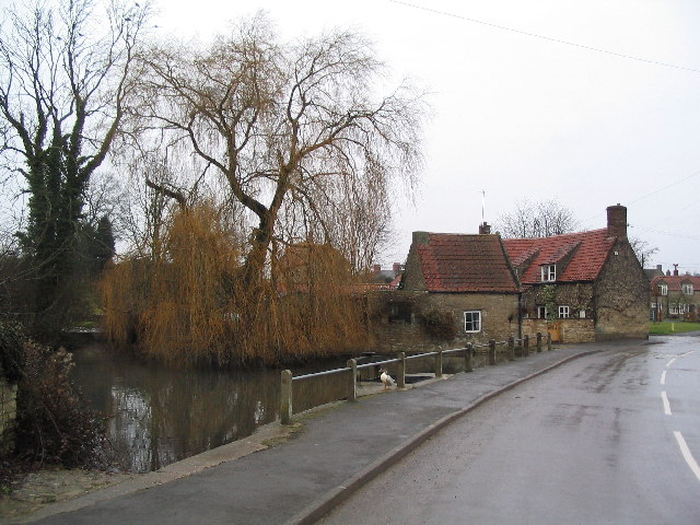
Castle Bytham
Castle Bytham is a village and civil parish of around 300 houses in South Kesteven, Lincolnshire, England. It is located 9 miles (14 km) north of Stamford...

Swinstead
Swinstead is a village and civil parish in the South Kesteven district of Lincolnshire, England. It is situated 5 miles (8.0 km) west from Bourne, 9 miles...

Swayfield
Swayfield is a village and civil parish in the South Kesteven district of Lincolnshire, England. The population of the civil parish at the 2011 census...
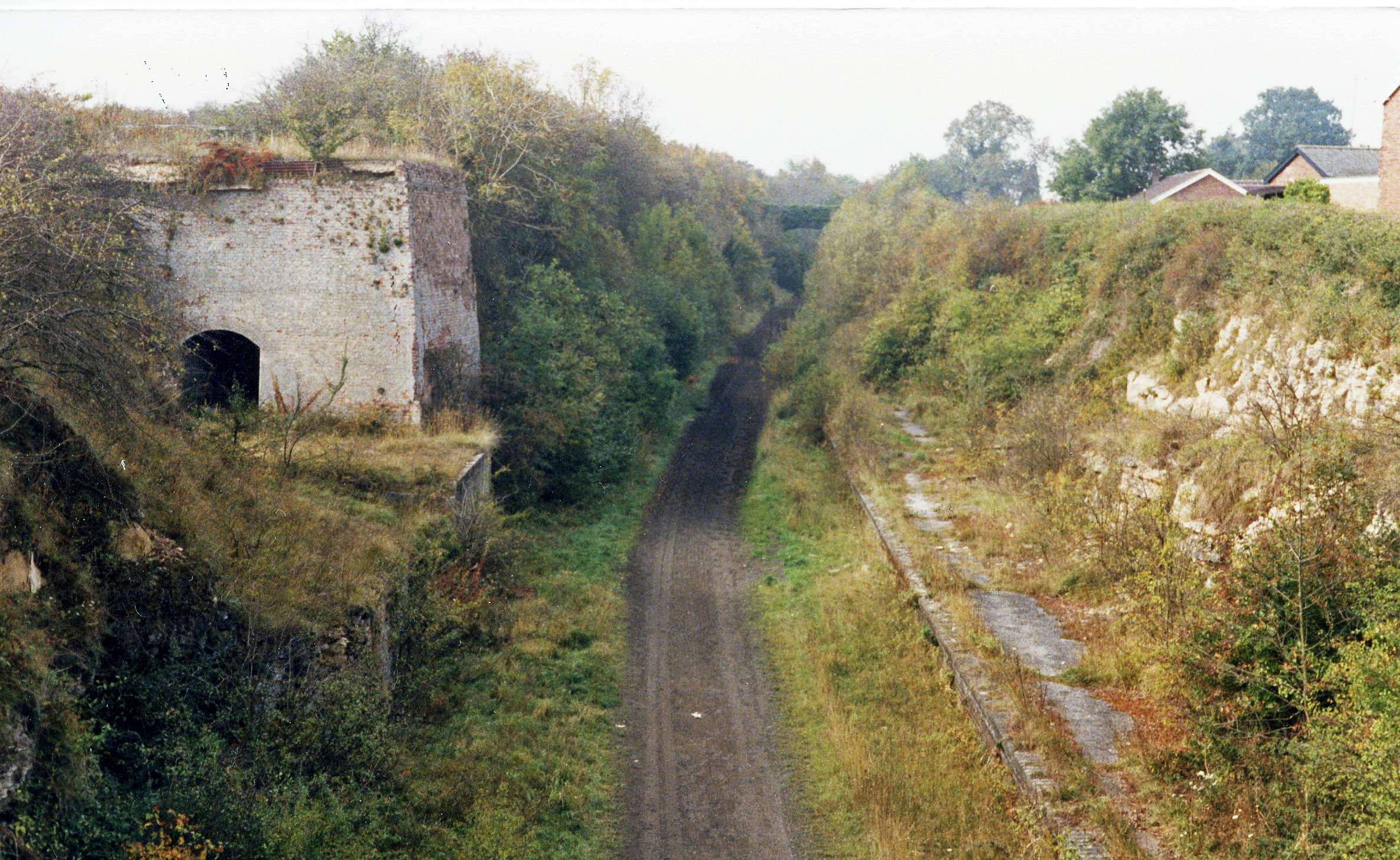
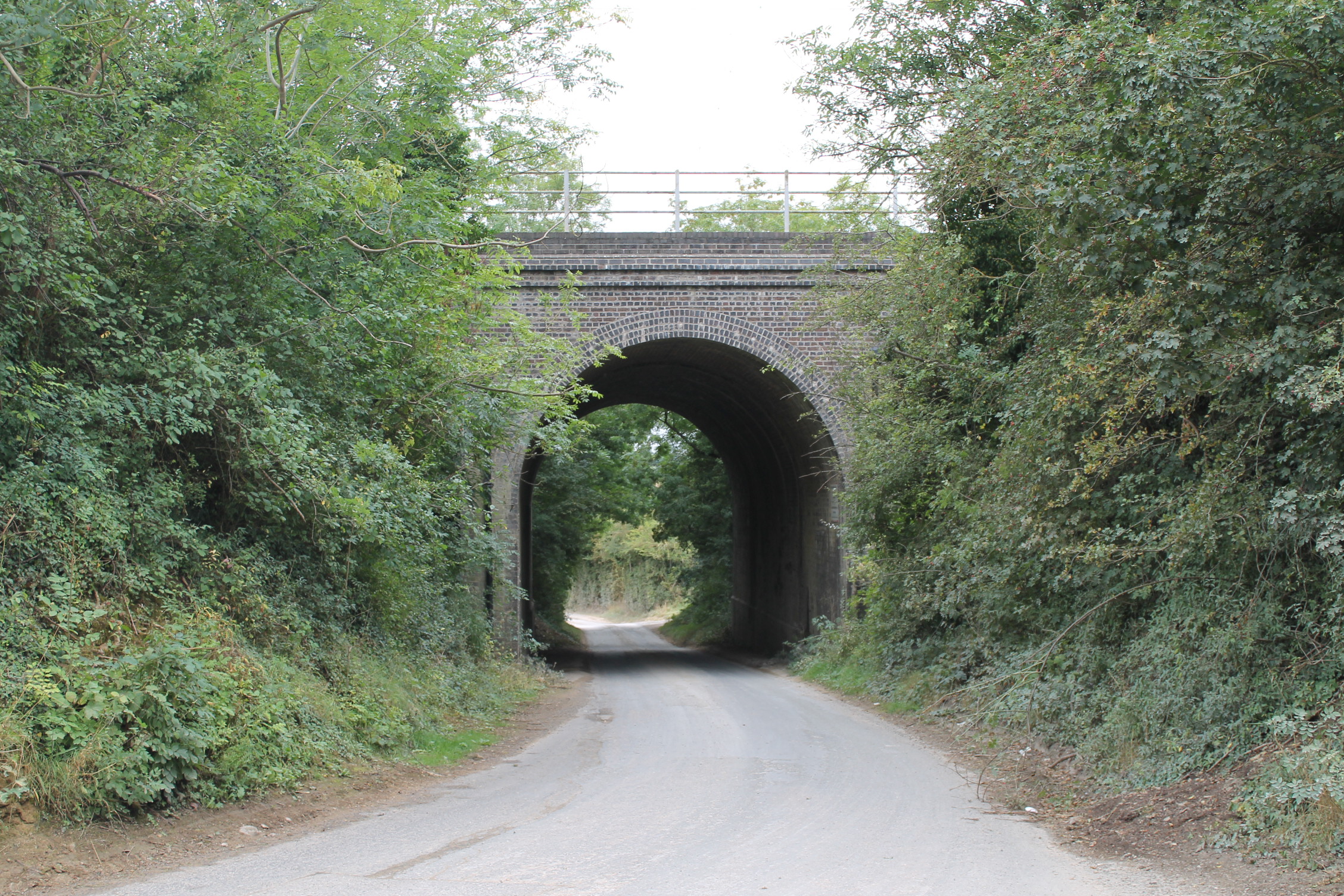
Castle Bytham railway station
Castle Bytham railway station was a station in Castle Bytham. It was Midland Railway property but train services were operated by the Midland and Great...
Nearby Amenities
Located within 500m of 52.773463,-0.51557Have you been to Counthorpe and Creeton?
Leave your review of Counthorpe and Creeton below (or comments, questions and feedback).