Corse

Civil Parish in Gloucestershire Forest of Dean

England

Corse

Hawgreen House on the A417, Staunton.
Hawgreen Credit: JThomas

Corse is a civil parish located in the county of Gloucestershire, England. Situated near the River Severn, it lies approximately 8 miles southwest of the city of Gloucester. The parish encompasses a small area of about 2.5 square miles and is home to a population of around 400 people.

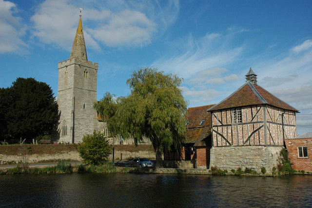
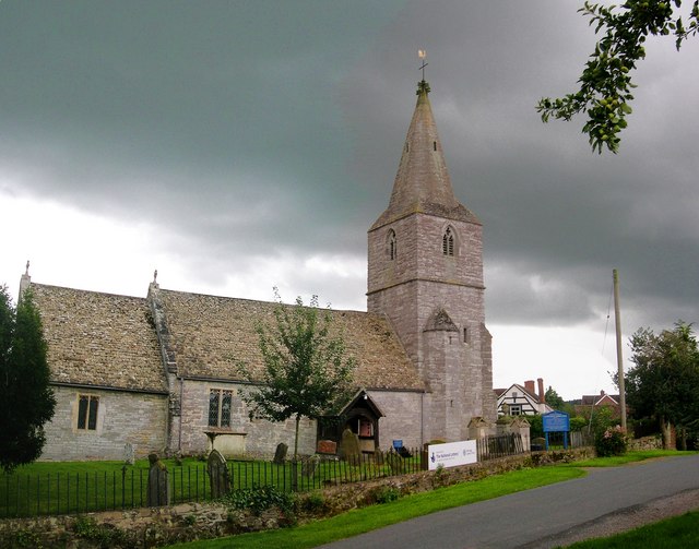
Corse is a rural community characterized by its picturesque countryside, dotted with fields, farms, and woodlands. The landscape is relatively flat, with gentle rolling hills in the distance. The village itself is small, consisting of a few scattered houses and a parish church, St. Margaret's.

The area has a rich history, with evidence of human habitation dating back to the Roman times. The name "Corse" is derived from the Old English word "cors," meaning a bog or marsh, reflecting the marshy nature of the land in the past.

Despite its small size, Corse has a close-knit community that actively participates in various local events and activities. The village organizes an annual summer fete, bringing residents together for a day of fun and celebration. There are also opportunities for outdoor recreation, such as walking and cycling along the peaceful country lanes.

Corse benefits from its proximity to Gloucester, which offers a range of amenities and services, including schools, shops, and healthcare facilities. The village is well-connected by road, with easy access to the A417 and A40, making it convenient for commuting to nearby towns and cities.

In summary, Corse, Gloucestershire is a charming rural parish with a strong sense of community and a tranquil countryside setting.

If you have any feedback on the listing, please let us know in the comments section below.
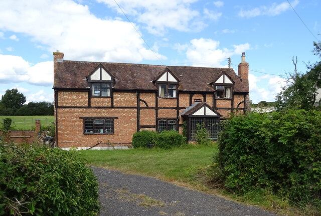
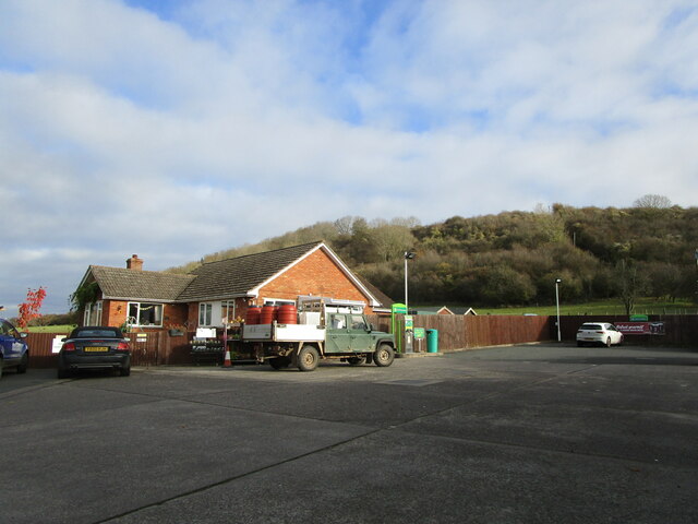
Corse Images

Images are sourced within 2km of 51.952987/-2.295124 or Grid Reference SO7928. Thanks to Geograph Open Source API. All images are credited.

Hawgreen House on the A417, Staunton.
Hawgreen
House on the A417, Staunton.
A417, Staunton Towards Ledbury.
A417, Staunton
Towards Ledbury.
The Swan Inn, Staunton  On Ledbury Road.
Closed on 26th June 2021, but hoping to reopen in the future.
The Swan Inn, Staunton
On Ledbury Road. Closed on 26th June 2021, but hoping to reopen in the future.
B4213, Staunton Heading east towards Tewkesbury.
B4213, Staunton
Heading east towards Tewkesbury.
Elizabeth II postbox on Ledbury Road, Staunton On the Post Office.
Postbox No. GL19 158.

See <a href="https://www.geograph.org.uk/photo/6949183">SO7929 : Post Office and shop on Ledbury Road, Staunton</a> for context.
Elizabeth II postbox on Ledbury Road, Staunton
On the Post Office. Postbox No. GL19 158. See SO7929 : Post Office and shop on Ledbury Road, Staunton for context.
Post Office and shop on Ledbury Road, Staunton Showing position of Postbox No. GL19 158.

See <a href="https://www.geograph.org.uk/photo/6949179">SO7929 : Elizabeth II postbox on Ledbury Road, Staunton</a> for postbox.
Post Office and shop on Ledbury Road, Staunton
Showing position of Postbox No. GL19 158. See SO7929 : Elizabeth II postbox on Ledbury Road, Staunton for postbox.
Elizabeth II postbox on Ledbury Road, Staunton Postbox No. GL19 214.
Elizabeth II postbox on Ledbury Road, Staunton
Postbox No. GL19 214.
Fishing pond, Staunton Court Seen from the churchyard which stands substantially higher than the pond.
Fishing pond, Staunton Court
Seen from the churchyard which stands substantially higher than the pond.
Farm track to Staunton Court The track is also a public footpath.
Farm track to Staunton Court
The track is also a public footpath.
Former Post Office, Staunton
Corse and Staunton Village Hall
Grass field adjacent to Lawn Farm
Grass field and Corse House Farm
Bungalow and Foscombe Hill
Staunton War Memorial Listed <span class="nowrap"><a title="https://historicengland.org.uk/listing/the-list/list-entry/1462054" rel="nofollow ugc noopener" href="https://historicengland.org.uk/listing/the-list/list-entry/1462054">Link</a><img style="margin-left:2px;" alt="External link" title="External link - shift click to open in new window" src="https://s1.geograph.org.uk/img/external.png" width="10" height="10"/></span>
Staunton War Memorial
Listed LinkExternal link
Staunton Court Business Park
Drain near Staunton Court
Show me another place!

Corse is located at Grid Ref: SO7928 (Lat: 51.952987, Lng: -2.295124)

Administrative County: Gloucestershire

District: Forest of Dean

Police Authority: Gloucestershire

What 3 Words

///fuses.wedding.spoils. Near Corse, Gloucestershire

Nearby Locations

Snig's End Corse

Related Wikis

Staunton (near Gloucester)

Staunton is a village that lies close to the village of Corse. Staunton is eight miles north of the city of Gloucester. To the south-west of Staunton is...

Foscombe

Foscombe is a grade II* listed country house in Ashleworth, Gloucestershire. It was built around 1860 in the Gothic Revival style for the personal use...

Corse, Gloucestershire

Corse is a village in the English county of Gloucestershire, next to the village of Staunton. The parish lies on the tongue of land between the River Severn...

Hasfield Court

Hasfield Court is a Grade II* listed building in Hasfield, Gloucestershire, England. Hasfield Court was the site of a medieval manor house, the home of...

Nearby Amenities

Located within 500m of 51.952987,-2.295124
Bus Stop
Village Hall
Bus: yes
Naptan AtcoCode: 1600GLN022
Naptan Bearing: S
Naptan CommonName: Village Hall
Naptan Indicator: by
Naptan NaptanCode: gloatmdw
Naptan Street: Gloucester Road A417
Naptan Verified: no
Public Transport: platform
Shelter: no
Source: naptan_import
Lat/Long: 51.9520601/-2.3021489
Entrance: yes
Lat/Long: 51.9520744/-2.3018358
Barrier: stile
Lat/Long: 51.9528944/-2.28873
Barrier: stile
Lat/Long: 51.9530113/-2.2889739
Barrier: stile
Lat/Long: 51.9542708/-2.2903266
Barrier: stile
Lat/Long: 51.9558029/-2.2920054
Barrier: stile
Lat/Long: 51.9564406/-2.2937925
Lawn Farm Corse
Power: pole
Transformer: distribution
Voltage Primary: 11000
Lat/Long: 51.950184/-2.298623
Power: pole
Lat/Long: 51.9506267/-2.2994699
Power: pole
Lat/Long: 51.951066/-2.3003228
Power: pole
Lat/Long: 51.9515057/-2.3011724
Village Hall
Power: pole
Transformer: distribution
Voltage Primary: 11000
Lat/Long: 51.9519413/-2.3019905
Defibrillator
Defibrillator Location: outside Corse and Staunton Cricket Club building
Emergency: defibrillator
Indoor: no
Lat/Long: 51.9531093/-2.3024123
The data included in this document is from www.openstreetmap.org. The data is made available under ODbL.

Have you been to Corse?

Leave your review of Corse below (or comments, questions and feedback).