Corsenside

Civil Parish in Northumberland

England

Corsenside

Winter on Hareshaw Common A low, winter's sun makes the scene sparkle on Hareshaw Comman
Winter on Hareshaw Common Credit: Angus

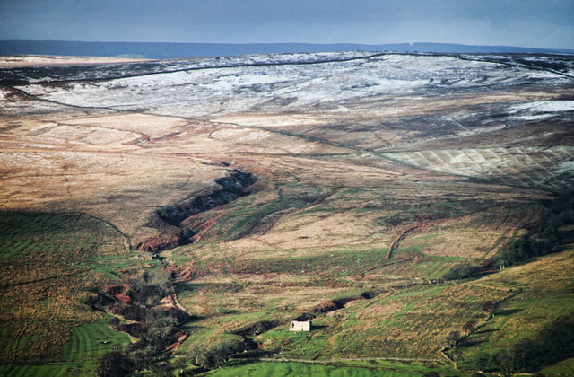
Corsenside is a civil parish located in the county of Northumberland, England. It is situated in the beautiful rural countryside, surrounded by rolling hills and picturesque landscapes. The parish covers an area of approximately 32 square kilometers and is home to a small population.

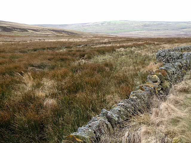
Corsenside is known for its tranquil and peaceful atmosphere, making it an ideal place for those seeking a quiet and idyllic lifestyle. The parish consists of several small hamlets and villages, including West Woodburn, East Woodburn, and Ridsdale, each offering a unique charm and character.

The area is rich in history, with evidence of human settlement dating back to ancient times. There are several historic landmarks and sites of interest in and around Corsenside, including the 13th-century Ridsdale Tower and the remains of the medieval church at West Woodburn.

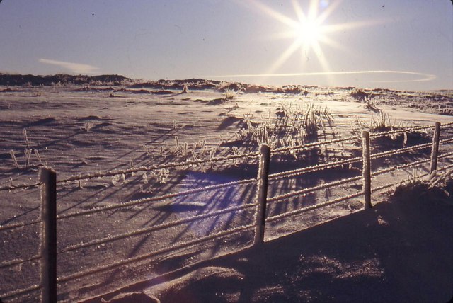
The parish is also blessed with natural beauty, with the stunning Northumberland National Park on its doorstep. This provides ample opportunities for outdoor activities such as hiking, cycling, and wildlife spotting. The nearby Kielder Water and Forest Park offers further recreational opportunities, including water sports and stargazing.

Corsenside is served by a few local amenities, including a village shop, a primary school, and a community center. For more extensive services and facilities, residents can easily access nearby towns such as Hexham and Morpeth.

Overall, Corsenside offers a peaceful rural lifestyle, surrounded by natural beauty and steeped in history, making it an attractive place to live or visit for those seeking a slower pace of life.

If you have any feedback on the listing, please let us know in the comments section below.
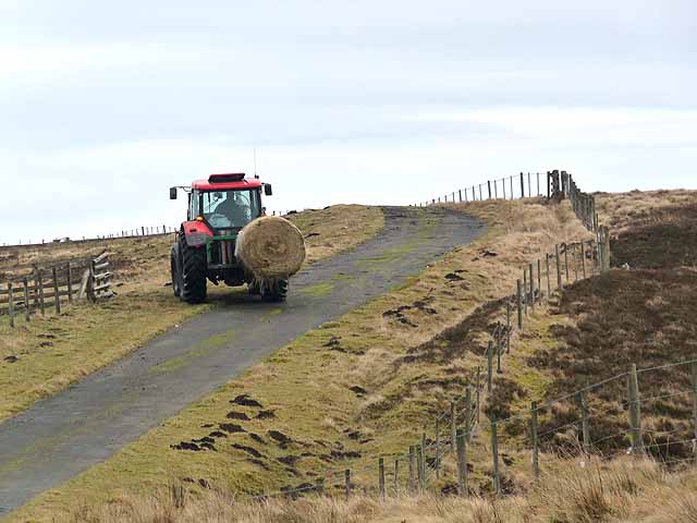
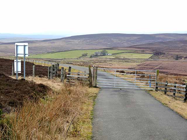
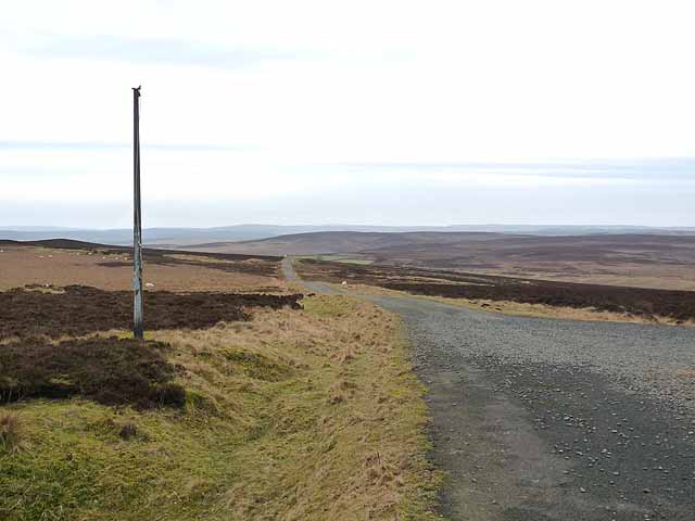
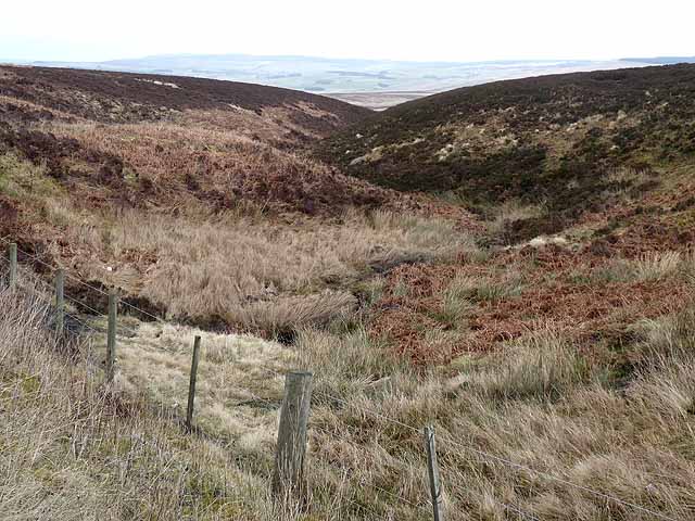
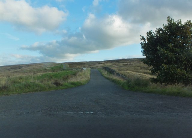
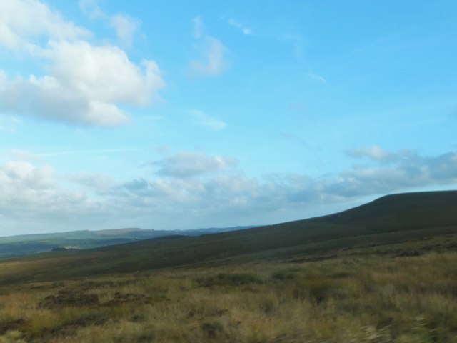
Corsenside Images

Images are sourced within 2km of 55.187777/-2.20862 or Grid Reference NY8688. Thanks to Geograph Open Source API. All images are credited.

Winter on Hareshaw Common A low, winter's sun makes the scene sparkle on Hareshaw Comman
Winter on Hareshaw Common
A low, winter's sun makes the scene sparkle on Hareshaw Comman
Low Cleughs Bastle View of Low Cleughs Bastle seen from Low Leam.
Low Cleughs Bastle
View of Low Cleughs Bastle seen from Low Leam.
Corsenside Common Road on Corsenside Common.
Corsenside Common
Road on Corsenside Common.
Corsenside Common Disused quarry on Corsenside Common.
Corsenside Common
Disused quarry on Corsenside Common.
Cleughs Burn Cloughs Burn and Jointure Cleugh beneath Corsenside Common seen from beneath Sappers' Pike.  <a href="https://www.geograph.org.uk/photo/2432339">NY8786 : Low Cleughs Bastle</a> is visible alongside Jointure Cleugh.
Cleughs Burn
Cloughs Burn and Jointure Cleugh beneath Corsenside Common seen from beneath Sappers' Pike. NY8786 : Low Cleughs Bastle is visible alongside Jointure Cleugh.
Low Leam Burn Plantation on Low Leam Burn.
Low Leam Burn
Plantation on Low Leam Burn.
Moorland below Hareshaw Head In the distance are the moors on the far side of North Tynedale.
Moorland below Hareshaw Head
In the distance are the moors on the far side of North Tynedale.
Tractor at Hareshaw Head Off to feed the sheep on the minor road over Corsenside Common to West Woodburn.
Tractor at Hareshaw Head
Off to feed the sheep on the minor road over Corsenside Common to West Woodburn.
Hareshaw Head On the minor road over Corsenside Common from West Woodburn. The road passes through a small outlier of the Otterburn Ranges; this gate marks the boundary at the western end. The farm of Hareshaw Head down on the B6320 can be seen in the middle distance.
Hareshaw Head
On the minor road over Corsenside Common from West Woodburn. The road passes through a small outlier of the Otterburn Ranges; this gate marks the boundary at the western end. The farm of Hareshaw Head down on the B6320 can be seen in the middle distance.
The road to Otterburn The B6320 descends in a switchback from Hareshaw Head.The village of Otterburn, nestling in Redesdale, can be seen dimly in the middle distance towards the left.
The road to Otterburn
The B6320 descends in a switchback from Hareshaw Head.The village of Otterburn, nestling in Redesdale, can be seen dimly in the middle distance towards the left.
Slopes of Corsenside Common Sheep creep through a wall beside the road over Corsenside Common. The valley of Redesdale can be dimly seen in the distance to the left.
Slopes of Corsenside Common
Sheep creep through a wall beside the road over Corsenside Common. The valley of Redesdale can be dimly seen in the distance to the left.
Summit of Corsenside Common This very minor country road from West Woodburn to Bellingham passes through a small outlier of the Otterburn Ranges. The flagpole in the foreground flies the red flag when access to the area is unsafe.
Summit of Corsenside Common
This very minor country road from West Woodburn to Bellingham passes through a small outlier of the Otterburn Ranges. The flagpole in the foreground flies the red flag when access to the area is unsafe.
Wetshaw Sike Interlocking spurs on this tributary of the River Rede.
Wetshaw Sike
Interlocking spurs on this tributary of the River Rede.
View over Redesdale Looking from the minor road over Corsenside Common.
View over Redesdale
Looking from the minor road over Corsenside Common.
Quad bike on Corsenside Common A very minor road over Corsenside Common from West Woodburn to Bellingham. The sheepdog hitches a ride.
Quad bike on Corsenside Common
A very minor road over Corsenside Common from West Woodburn to Bellingham. The sheepdog hitches a ride.
Minor road over Corsenside Common From the junction with the B6320 at Hareshaw Head.
Minor road over Corsenside Common
From the junction with the B6320 at Hareshaw Head.
Moorland by Cross Law To the southeast of the B6320.
Moorland by Cross Law
To the southeast of the B6320.
Layby at Hareshaw Head Beside the B6320.
Layby at Hareshaw Head
Beside the B6320.
Show me another place!

Corsenside is located at Grid Ref: NY8688 (Lat: 55.187777, Lng: -2.20862)

Unitary Authority: Northumberland

Police Authority: Northumbria

What 3 Words

///admits.manuals.passports. Near Corsenside, Northumberland

Related Wikis

Corsenside

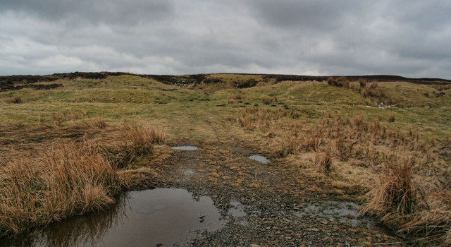
Corsenside is one of the largest parishes in Northumberland, however the area is mainly a vast expanse of rolling hills and farmland, with three tiny villages...

West Woodburn

West Woodburn is a village in north-western Northumberland, England. The 2001 census recorded a population of 492 in the parish of Corsenside, of which...

Woodburn railway station

Woodburn was a stone-built railway station with substantial goods sidings in Northumberland, on the Wansbeck Railway between Morpeth and Reedsmouth. It...

Great Northumberland Forest

The Great Northumberland Forest is a proposed new forest in the north of England. Announced in September 2019, it is intended that up to a million trees...

Nearby Amenities

Located within 500m of 55.187777,-2.20862
Corsenside Common
Place: locality
Lat/Long: 55.1882121/-2.2084193
Eppy Shield
Place: locality
Lat/Long: 55.1844657/-2.2113706
Coldtown Fell
Place: locality
Lat/Long: 55.1857418/-2.2053215
Ele: 366
Man Made: survey_point
Lat/Long: 55.1861708/-2.2143929
Ele: 366
Man Made: survey_point
Lat/Long: 55.1861712/-2.2143931
The data included in this document is from www.openstreetmap.org. The data is made available under ODbL.

Have you been to Corsenside?

Leave your review of Corsenside below (or comments, questions and feedback).