Corley
Civil Parish in Warwickshire North Warwickshire
England
Corley

Corley is a civil parish located in Warwickshire, England. It is situated about 10 miles north-west of Coventry and covers an area of approximately 1,500 acres. The parish is bordered by the villages of Fillongley, Meriden, and Shustoke.
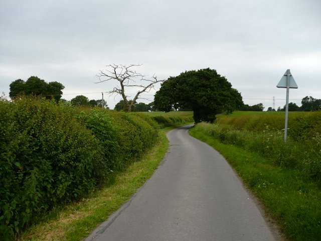
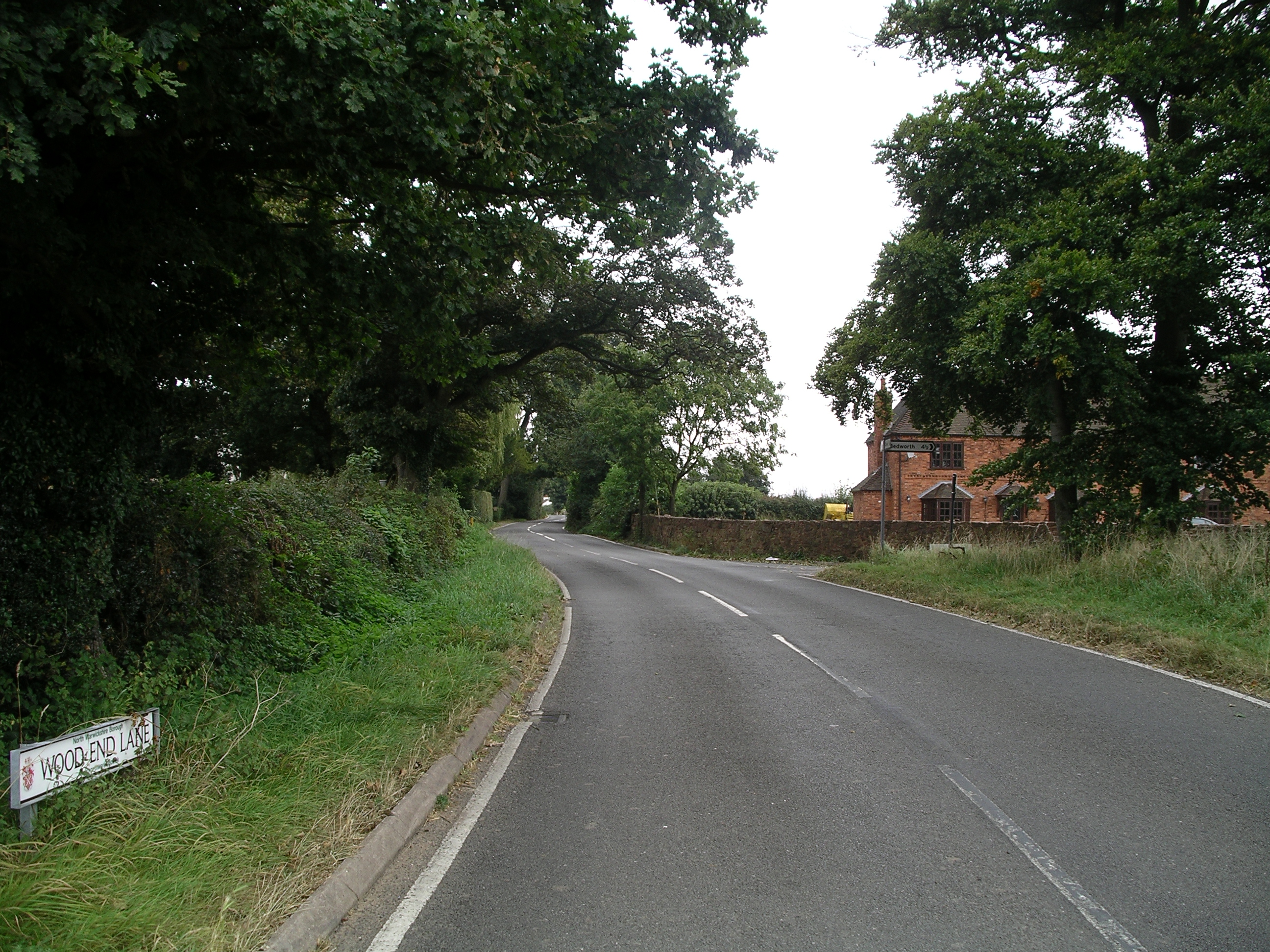
The village of Corley itself is small, with a population of around 500 people. It is a rural community known for its picturesque countryside and charming atmosphere. The landscape is characterized by rolling hills, fields, and woodland areas, making it an ideal location for outdoor activities such as walking, cycling, and horse riding.
Historically, Corley was primarily an agricultural village, with farming being the main occupation of its residents. Today, while agriculture still plays a role in the local economy, many of the residents commute to nearby towns and cities for work.
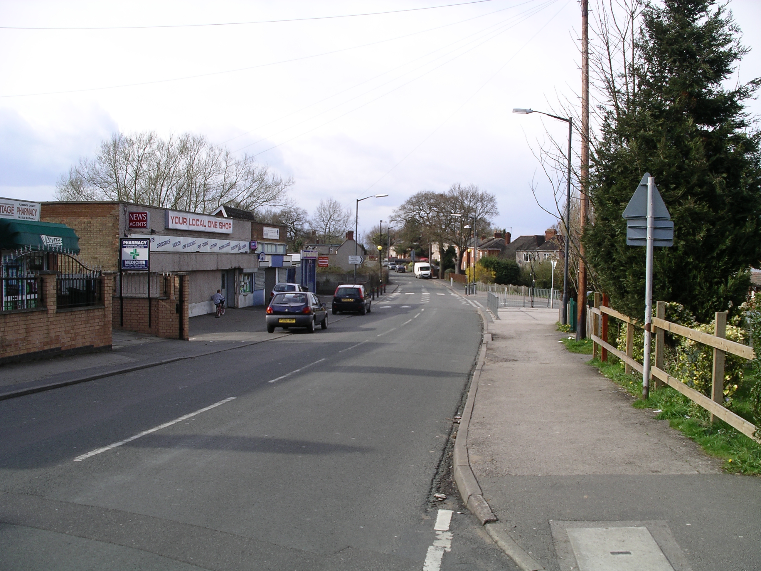
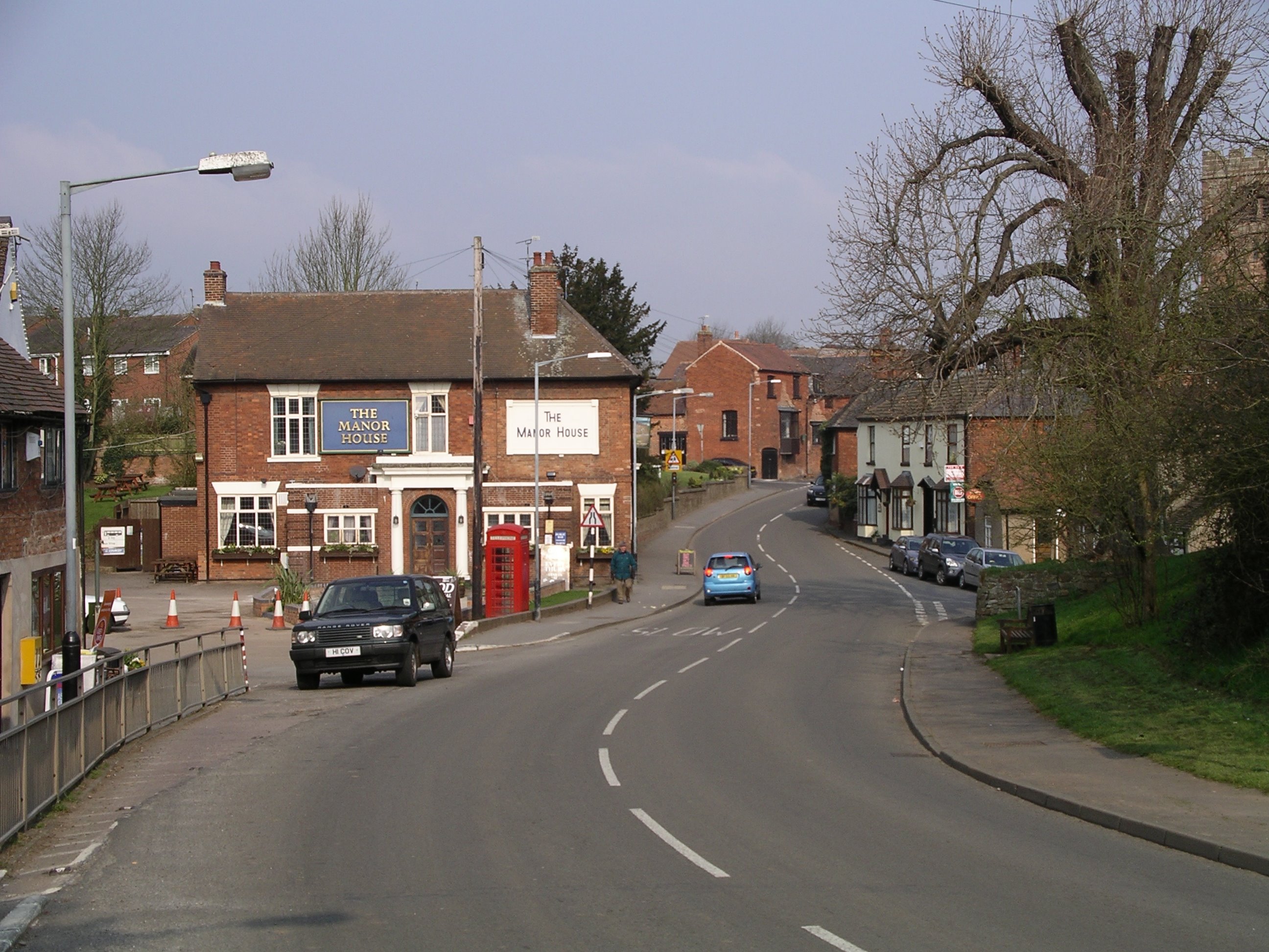
The village features a few amenities, including a village hall, a primary school, and a church. The church, dedicated to St. Mary Magdalene, dates back to the 12th century and is a prominent landmark in the area. There are also a couple of pubs and a shop in the village, providing essential services and a gathering place for locals.
Corley is well-connected to the surrounding areas by road, with the M6 motorway passing close by. This convenient location allows residents to easily access nearby towns and cities for shopping, entertainment, and other amenities. Overall, Corley offers a peaceful and scenic environment for its residents, making it an attractive place to live for those seeking a rural lifestyle.
If you have any feedback on the listing, please let us know in the comments section below.
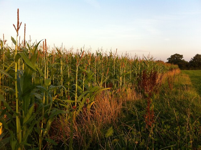
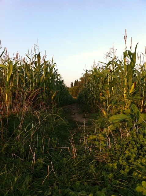
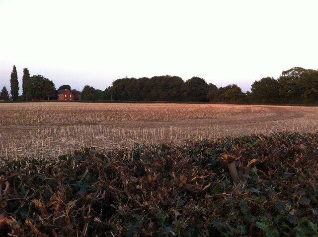
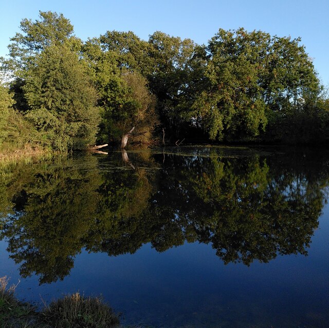
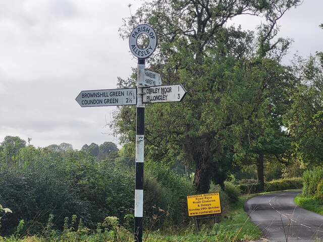
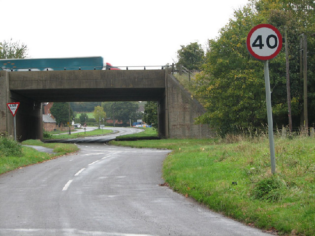
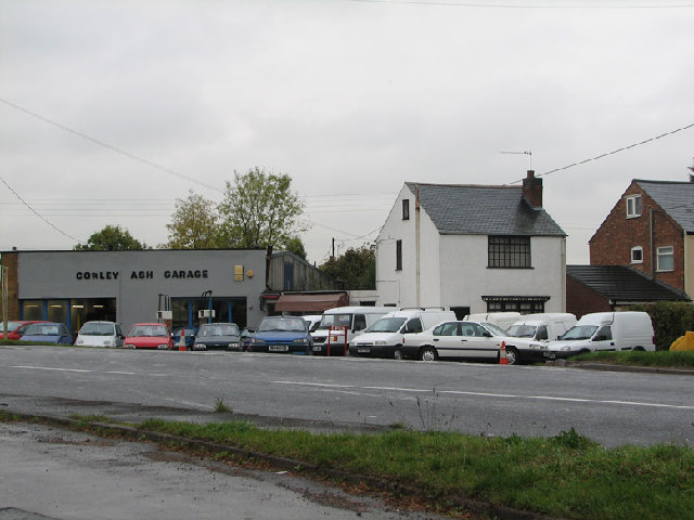
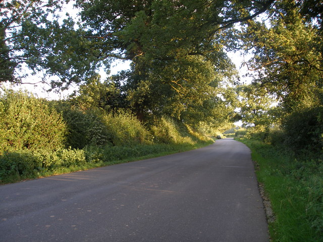
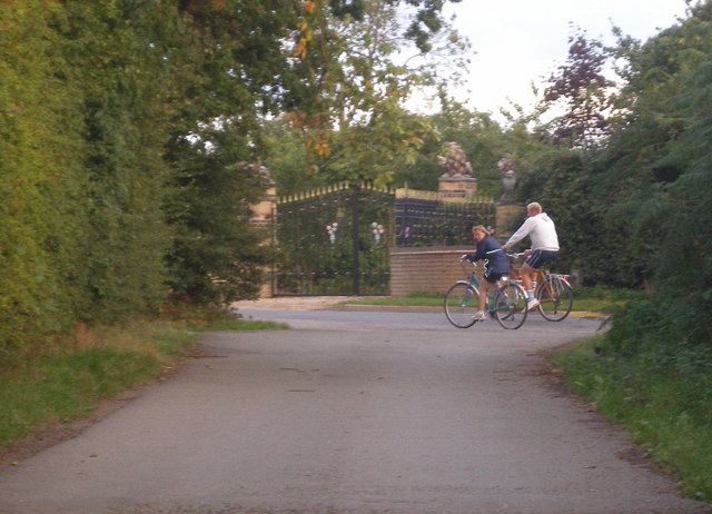
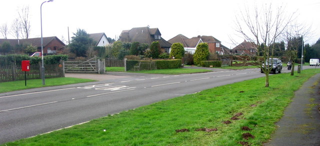
Corley Images
Images are sourced within 2km of 52.465904/-1.561364 or Grid Reference SP2985. Thanks to Geograph Open Source API. All images are credited.


Corley is located at Grid Ref: SP2985 (Lat: 52.465904, Lng: -1.561364)
Administrative County: Warwickshire
District: North Warwickshire
Police Authority: Warwickshire
What 3 Words
///gloves.crest.order. Near Keresley, West Midlands
Nearby Locations
Related Wikis
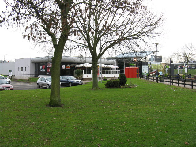
Corley services
Corley services is a motorway service station between junctions 3 and 3A of the M6 motorway in the county of Warwickshire, England. It is close to the...

Corley
Corley (and the associated hamlets of Corley Ash and Corley Moor) is a village and civil parish in the North Warwickshire district of Warwickshire, England...
Keresley End
Keresley End is a village in the Nuneaton & Bedworth District of Warwickshire, England, also known as Keresley Village or Keresley Newlands. Population...

Fillongley Castle
Fillongley Castle was a motte and bailey castle and later a fortified manor house in Fillongley in Warwickshire, England. Today, only earthworks and partial...
Coventry Colliery
Coventry Colliery was a coal mine located in the village of Keresley End in northern Warwickshire, between Bedworth and Coventry, England. Closed in 1991...
Wood End, Fillongley
Wood End, is a small village in Warwickshire, England. It is situated north of Coventry. The village is part of the civil parish of Fillongley. There is...
Fillongley
Fillongley, listed as Fillungeleye in 1135, is a village and civil parish in the North Warwickshire district of Warwickshire in England. The village is...
Brownshill Green
Brownshill Green is a suburban hamlet 3.5 miles northwest of Coventry by road, adjacent to the suburbs of Allesley, Coundon and Keresley. It is bordered...
Nearby Amenities
Located within 500m of 52.465904,-1.561364Have you been to Corley?
Leave your review of Corley below (or comments, questions and feedback).