Corley Ash
Settlement in Warwickshire North Warwickshire
England
Corley Ash

Corley Ash is a small village located in the county of Warwickshire, England. Situated approximately 10 miles north of the historic town of Coventry, Corley Ash is nestled amidst the picturesque countryside of the West Midlands region.
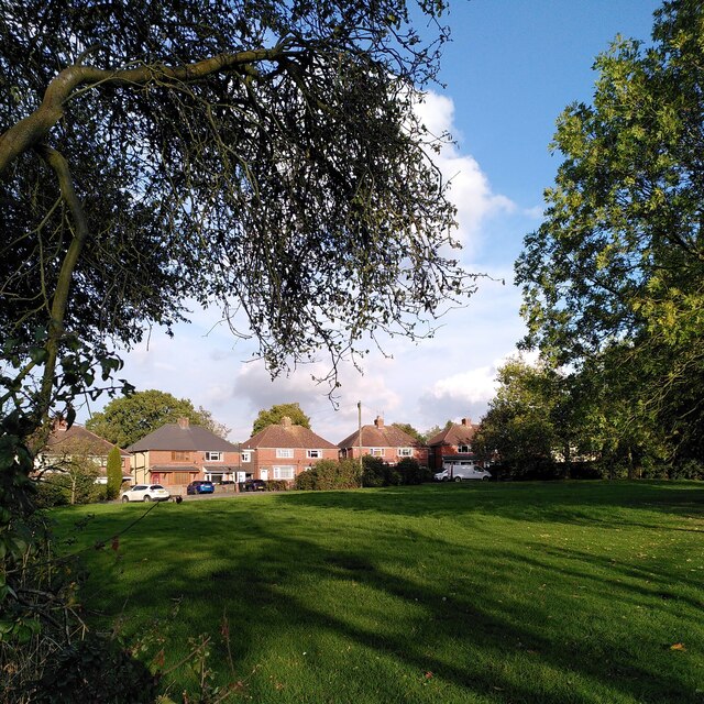
The village is primarily residential, with a population of around 200 inhabitants. It is known for its tranquil and idyllic setting, offering residents a peaceful retreat from the hustle and bustle of nearby urban areas. The village is characterized by its charming cottages and traditional architecture, giving it a quintessentially English feel.
Corley Ash benefits from its close proximity to major road networks, with the M6 motorway just a short drive away. This allows for easy access to nearby towns and cities such as Coventry, Birmingham, and Leicester, making it an attractive location for commuters.
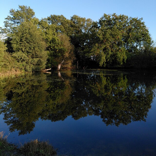
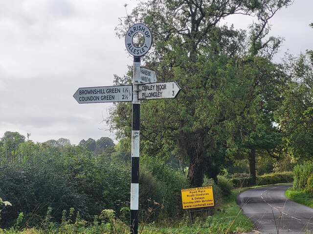
Nature enthusiasts will appreciate the village's surrounding green spaces, including Corley Moor, which offers beautiful walking trails and opportunities for wildlife spotting. Additionally, the nearby Corley Rocks, a sandstone outcrop, provides a stunning geological feature popular among geologists and rock climbers.
While Corley Ash may be small in size, it is a tight-knit community with a strong sense of community spirit. The village boasts a local pub, The Bull's Head, which serves as a social hub for residents and visitors alike.
Overall, Corley Ash offers a charming rural setting, a strong community atmosphere, and convenient access to nearby amenities, making it an appealing place to live or visit for those seeking a peaceful countryside retreat.
If you have any feedback on the listing, please let us know in the comments section below.
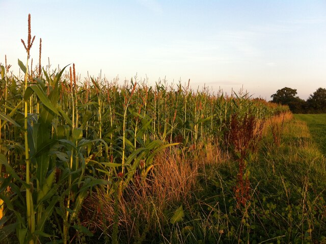
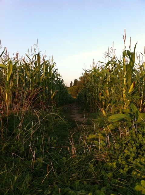
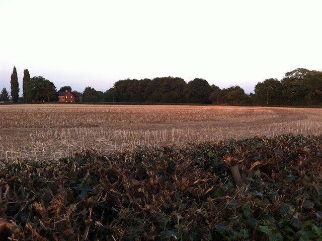
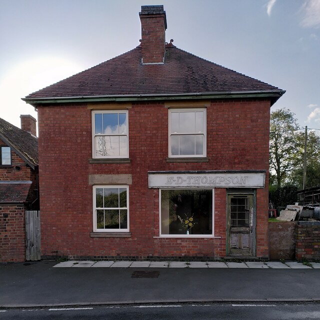
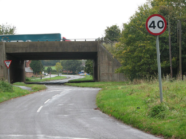
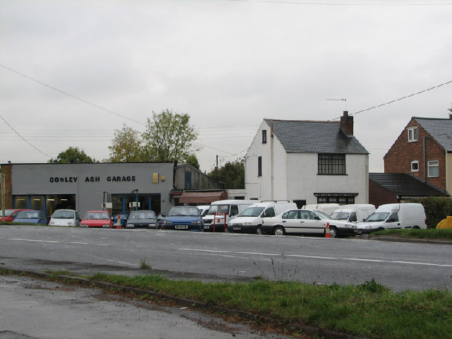
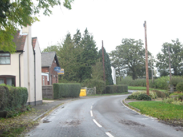
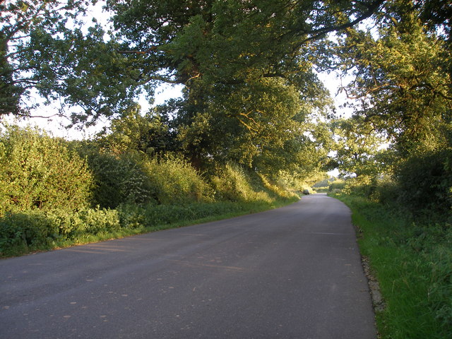
Corley Ash Images
Images are sourced within 2km of 52.470222/-1.569373 or Grid Reference SP2985. Thanks to Geograph Open Source API. All images are credited.


Corley Ash is located at Grid Ref: SP2985 (Lat: 52.470222, Lng: -1.569373)
Administrative County: Warwickshire
District: North Warwickshire
Police Authority: Warwickshire
What 3 Words
///eaten.wasp.dirt. Near Keresley, West Midlands
Nearby Locations
Related Wikis
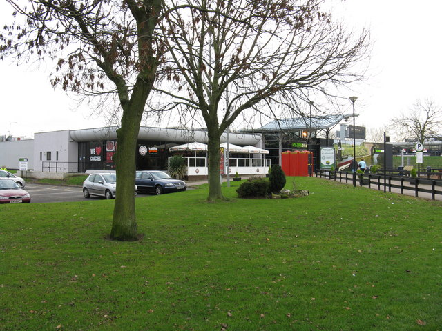
Corley services
Corley services is a motorway service station between junctions 3 and 3A of the M6 motorway in the county of Warwickshire, England. It is close to the...

Fillongley Castle
Fillongley Castle was a motte and bailey castle and later a fortified manor house in Fillongley in Warwickshire, England. Today, only earthworks and partial...
Fillongley
Fillongley, listed as Fillungeleye in 1135, is a village and civil parish in the North Warwickshire district of Warwickshire in England. The village is...
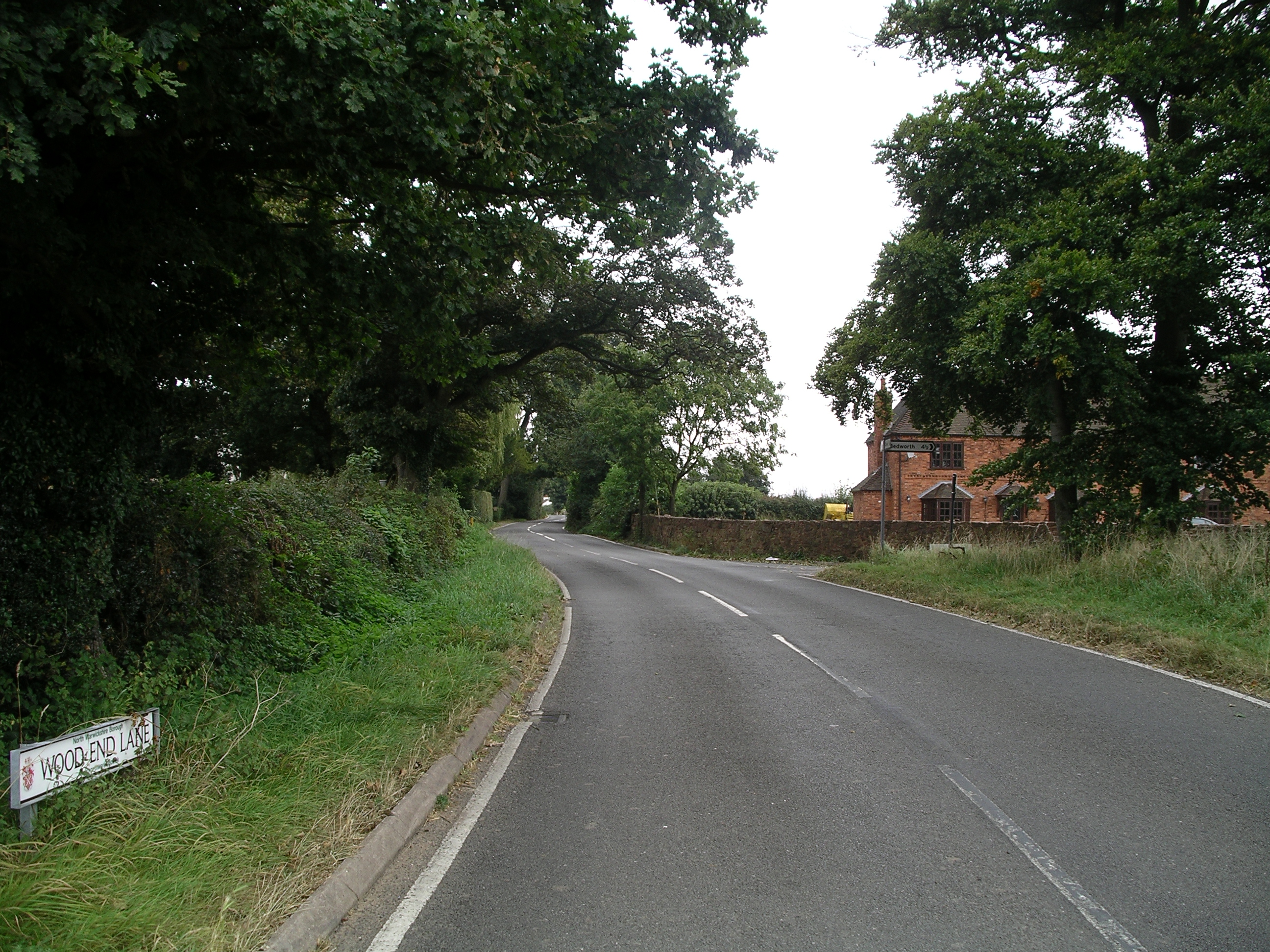
Wood End, Fillongley
Wood End, is a small village in Warwickshire, England. It is situated north of Coventry. The village is part of the civil parish of Fillongley. There is...

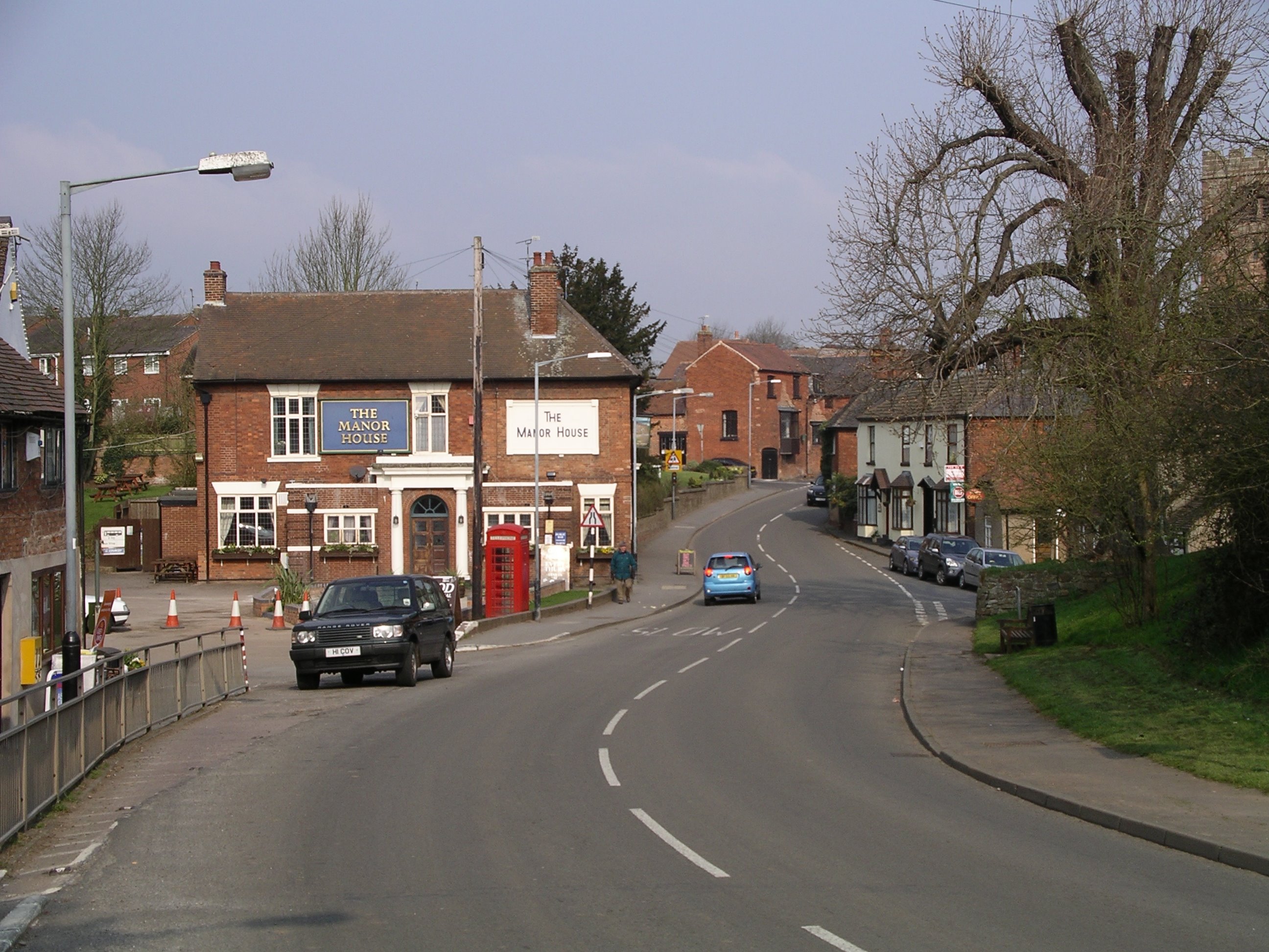
Corley
Corley (and the associated hamlets of Corley Ash and Corley Moor) is a village and civil parish in the North Warwickshire district of Warwickshire, England...
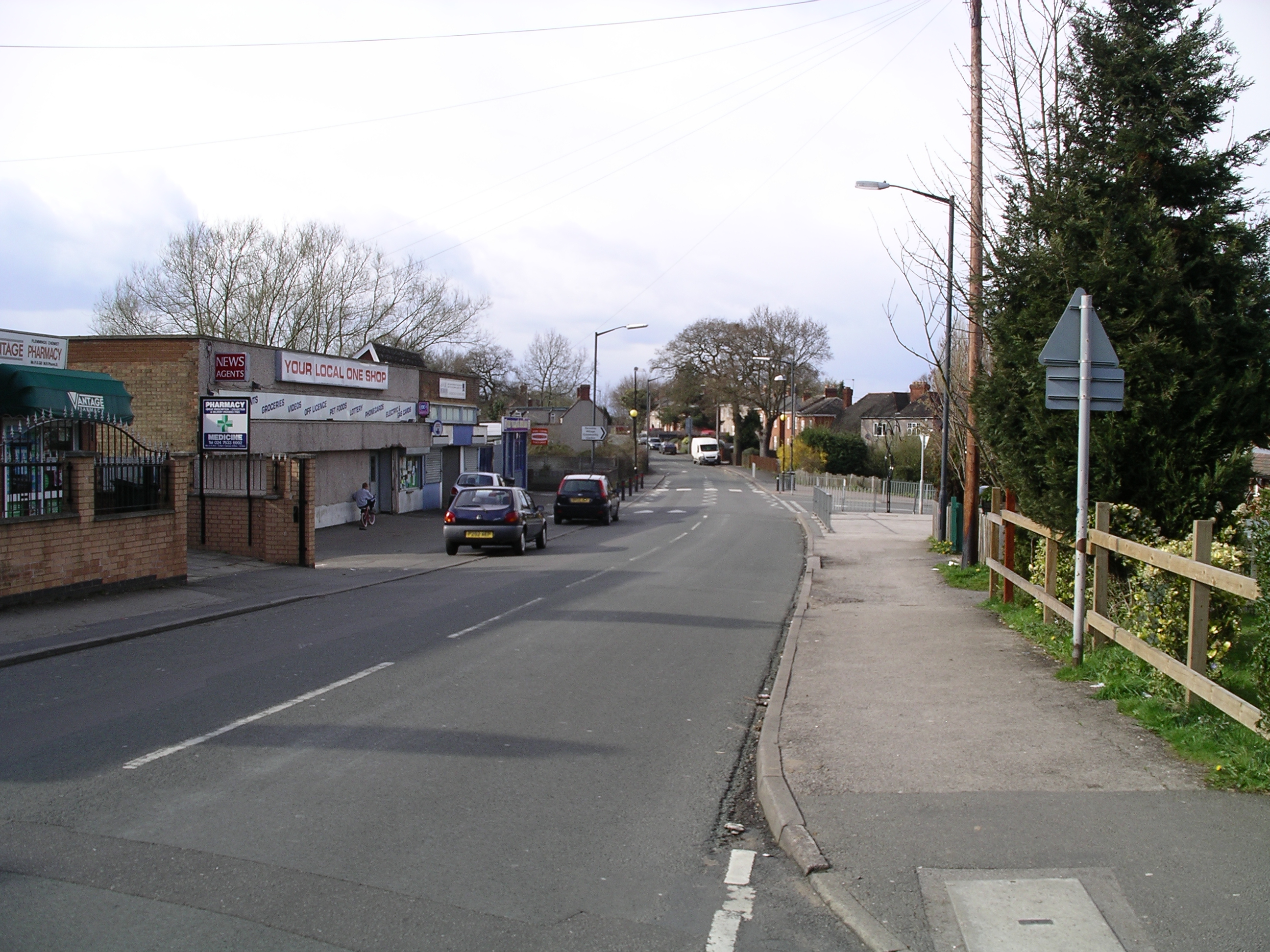
Keresley End
Keresley End is a village in the Nuneaton & Bedworth District of Warwickshire, England, also known as Keresley Village or Keresley Newlands. Population...
Coventry Colliery
Coventry Colliery was a coal mine located in the village of Keresley End in northern Warwickshire, between Bedworth and Coventry, England. Closed in 1991...
Brownshill Green
Brownshill Green is a suburban hamlet 3.5 miles northwest of Coventry by road, adjacent to the suburbs of Allesley, Coundon and Keresley. It is bordered...
Nearby Amenities
Located within 500m of 52.470222,-1.569373Have you been to Corley Ash?
Leave your review of Corley Ash below (or comments, questions and feedback).