Corhampton and Meonstoke
Civil Parish in Hampshire Winchester
England
Corhampton and Meonstoke
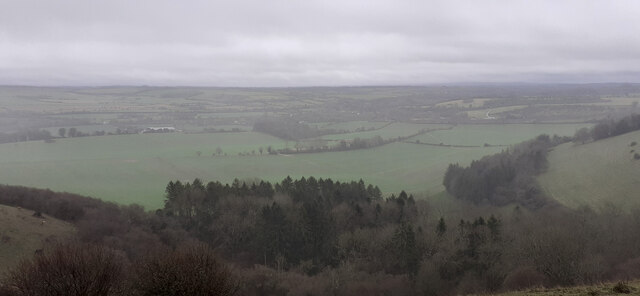
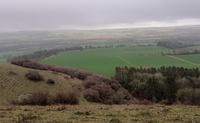
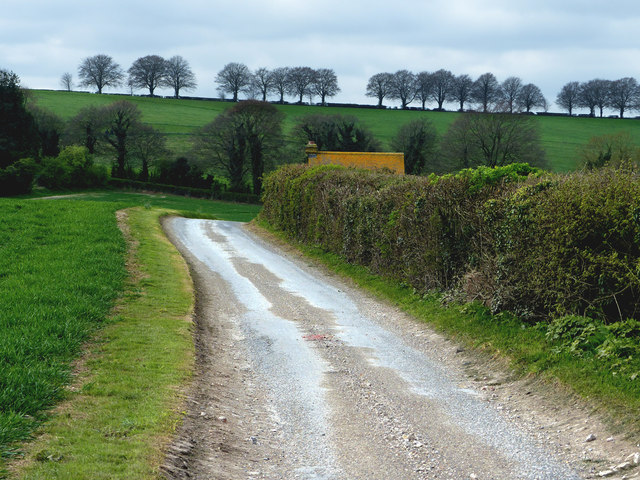
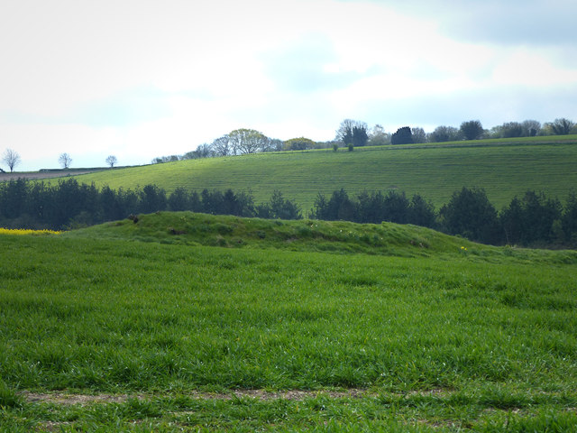
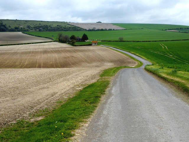
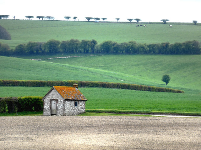
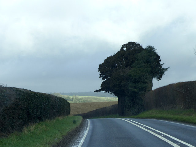
Corhampton and Meonstoke is a civil parish located in the county of Hampshire, England. Situated within the South Downs National Park, this rural area offers picturesque landscapes and a tranquil atmosphere. The parish is made up of two villages, Corhampton and Meonstoke, which are approximately one mile apart.
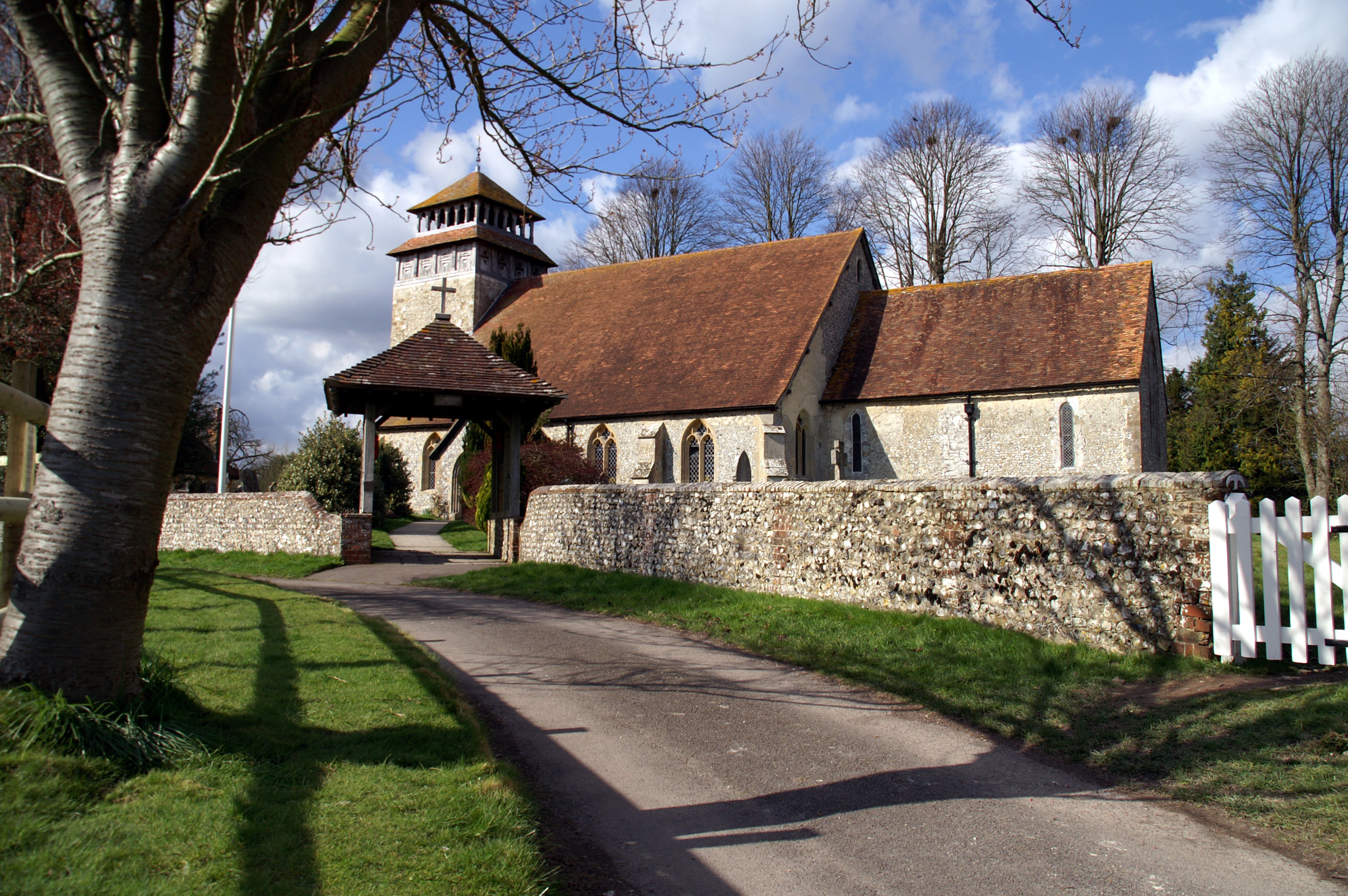
Corhampton, the smaller of the two villages, is known for its historic church, which dates back to the 12th century. The church, dedicated to St. Peter and St. Paul, features impressive Norman architecture and is considered a significant heritage site in the region. The village also boasts the Corhampton Golf Club, offering a scenic course for golf enthusiasts.
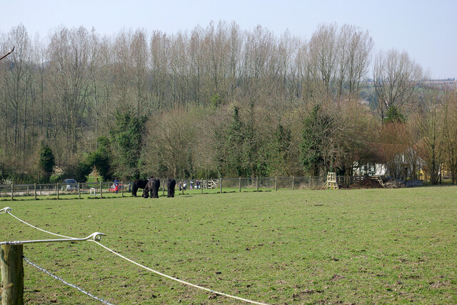
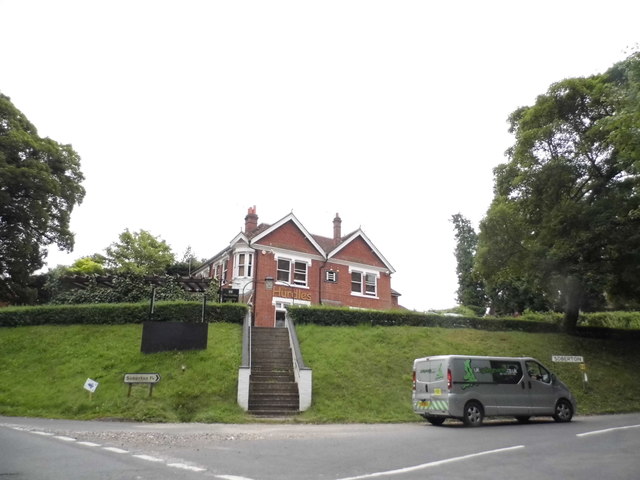
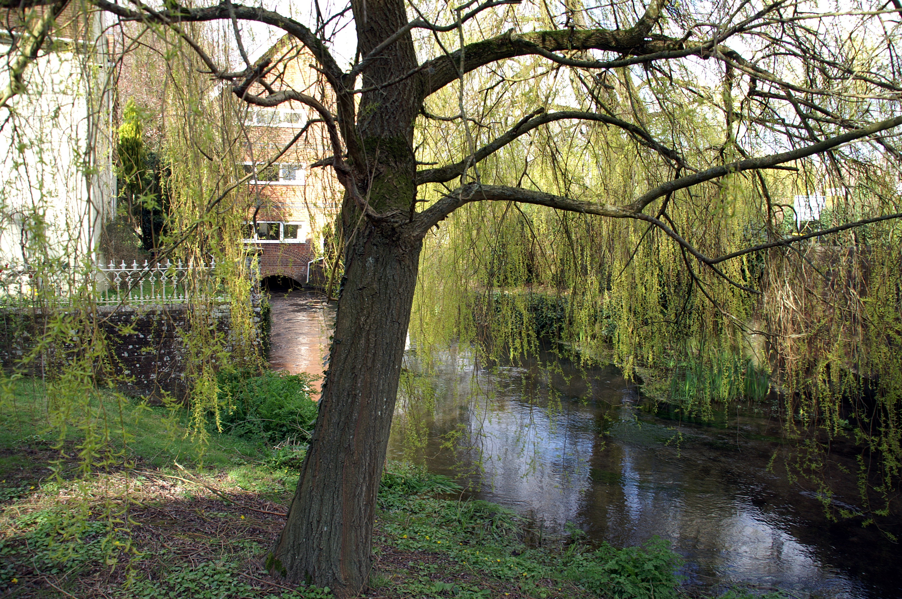
Meonstoke, on the other hand, is a larger village with a more vibrant community. It offers a range of amenities, including a primary school, village hall, and a local pub. The village is surrounded by beautiful countryside and is a popular spot for walking and cycling enthusiasts. The River Meon flows through Meonstoke, adding to the area's natural charm.
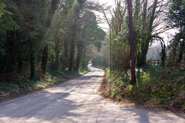
Both villages are well-connected to nearby towns and cities, with Winchester and Petersfield being the closest major urban areas. The parish is served by a reliable bus service, providing convenient transportation links for residents.
Corhampton and Meonstoke is a popular destination for those seeking a peaceful rural lifestyle. Its rich history, natural beauty, and strong community spirit make it an attractive place to live or visit.
If you have any feedback on the listing, please let us know in the comments section below.
Corhampton and Meonstoke Images
Images are sourced within 2km of 50.97346/-1.105562 or Grid Reference SU6219. Thanks to Geograph Open Source API. All images are credited.


Corhampton and Meonstoke is located at Grid Ref: SU6219 (Lat: 50.97346, Lng: -1.105562)
Administrative County: Hampshire
District: Winchester
Police Authority: Hampshire
What 3 Words
///leaps.commented.disbanded. Near Swanmore, Hampshire
Nearby Locations
Related Wikis
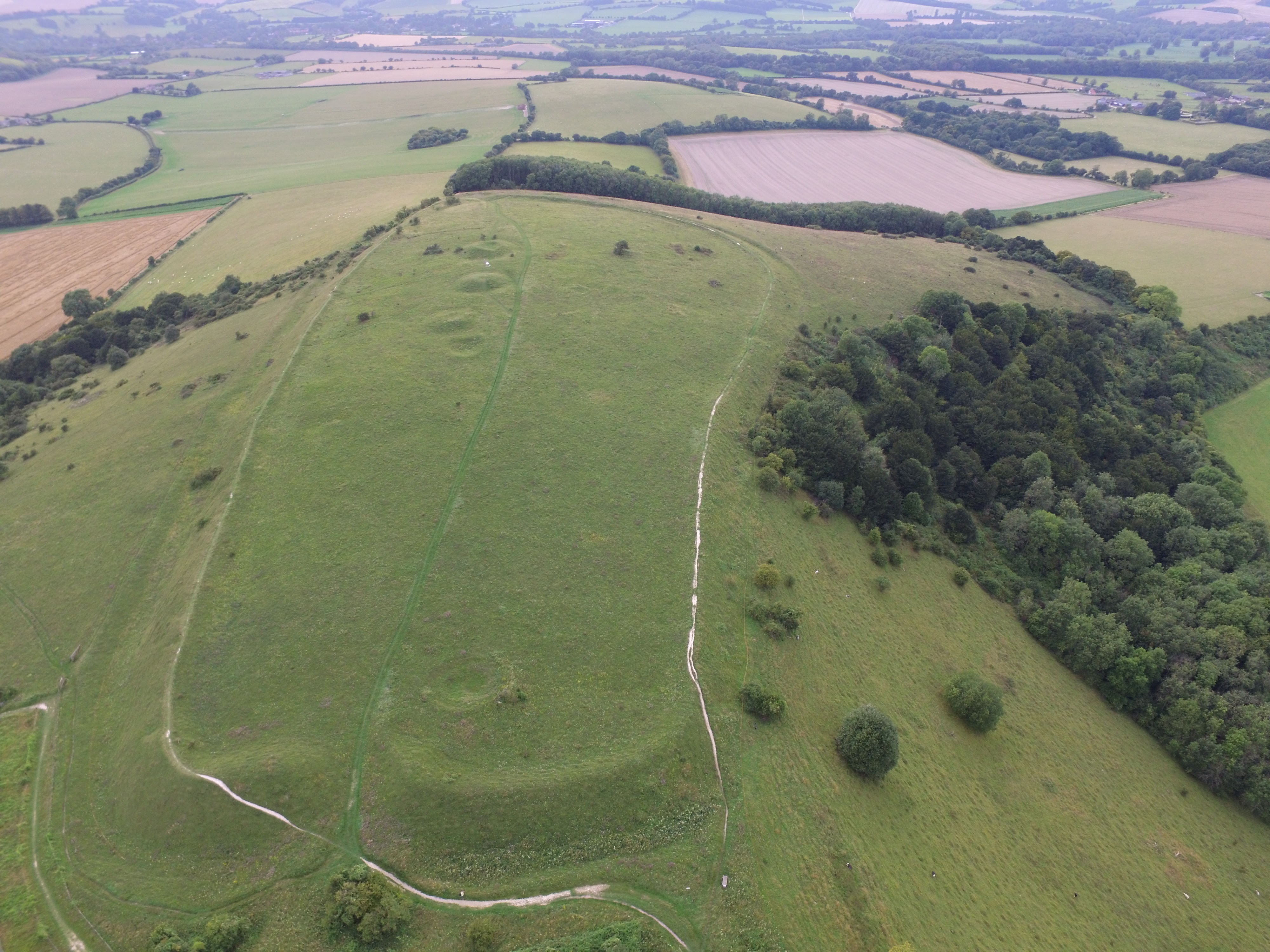
Old Winchester Hill
Old Winchester Hill is a 66.2-hectare (164-acre) biological Site of Special Scientific Interest in Hampshire. It is a Nature Conservation Review site...
Meonstoke
Meonstoke is a village and former civil parish, now in the parish of Corhampton and Meonstoke, in the Winchester district, in the county of Hampshire,...

A32 road
The A32 is a road in Hampshire, southern England, that links Gosport and Alton. Starting at Gosport, facing Portsmouth, it travels north via Fareham,...

Corhampton and Meonstoke
Corhampton and Meonstoke is a civil parish in the English county of Hampshire forming part of the area administered as the City of Winchester. It comprises...
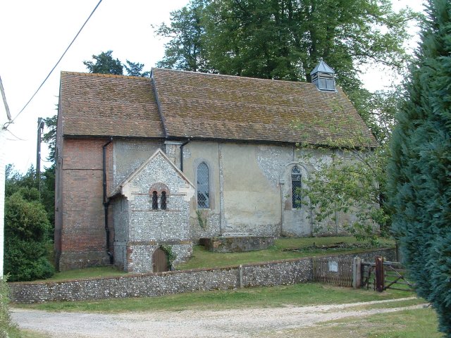
Corhampton Church
Corhampton Church is an Anglican church in the village of Corhampton, in Hampshire, England. Unusually, it does not have a dedication to a saint or other...
Corhampton
Corhampton is a village and former civil parish, now in the parish of Corhampton and Meonstoke, in the Winchester district, in the county of Hampshire...
Droxford railway station
Droxford railway station was an intermediate station on the Meon Valley Railway, built to a design by T. P. Figgis and opened in 1903. It served the villages...

Exton, Hampshire
Exton is a small village and civil parish in the City of Winchester district of Hampshire, England. The village lies in the South Downs National Park,...
Nearby Amenities
Located within 500m of 50.97346,-1.105562Have you been to Corhampton and Meonstoke?
Leave your review of Corhampton and Meonstoke below (or comments, questions and feedback).