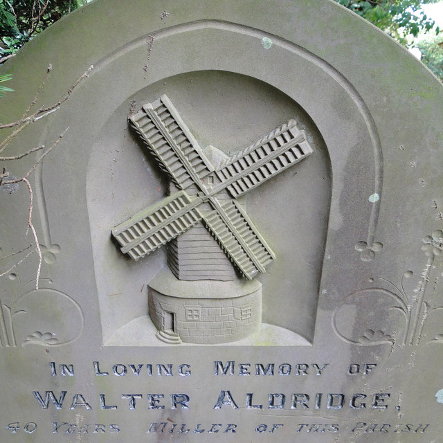
Cookley
Civil Parish in Suffolk East Suffolk
England
Cookley
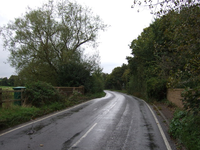
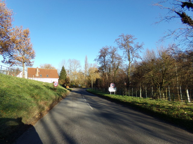
Cookley is a civil parish located in the county of Suffolk, England. Situated in the Waveney district, it covers an area of approximately 5 square kilometers and has a population of around 500 residents. The parish is positioned about 20 kilometers southwest of the town of Lowestoft and is surrounded by the picturesque Suffolk countryside.
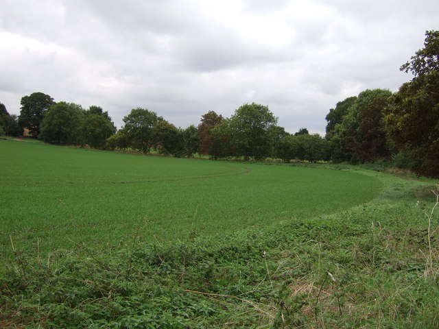
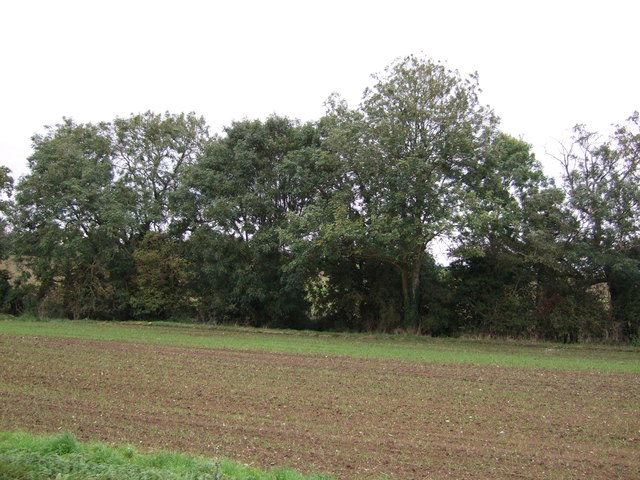
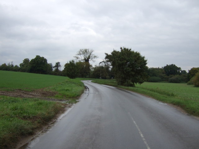
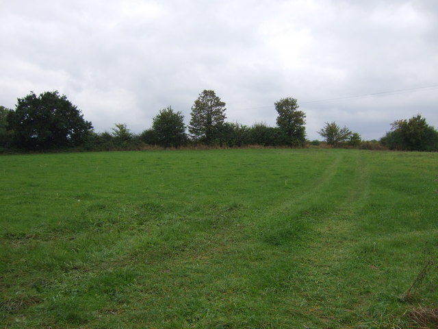
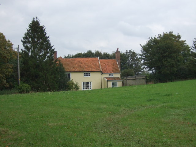
The village of Cookley itself is a charming and tranquil place, with a traditional English rural atmosphere. It is characterized by its quaint thatched cottages, historic buildings, and beautiful green landscapes. The area is known for its agricultural heritage, and farming continues to play a significant role in the local economy.
Cookley is home to a small primary school, which caters to the educational needs of the local children. There is also a village hall that serves as a focal point for community events and activities. The parish boasts a close-knit community where residents actively participate in various social and recreational endeavors.
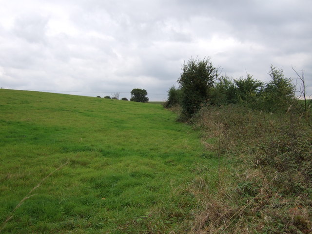
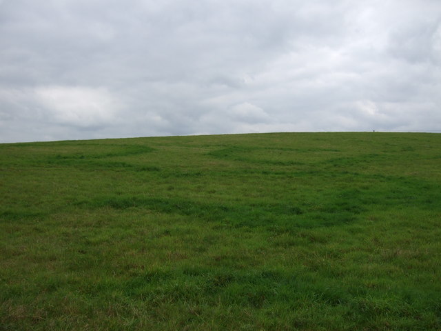
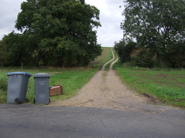
The surrounding countryside offers ample opportunities for outdoor pursuits such as walking, cycling, and horse riding. The nearby River Waveney provides a picturesque setting for fishing and boating enthusiasts. Additionally, the region is well-connected with a network of footpaths and bridleways that allow residents and visitors to explore the natural beauty of the area.
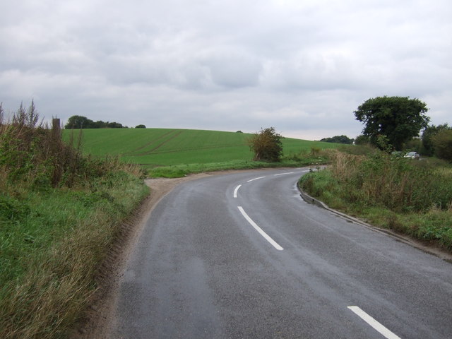
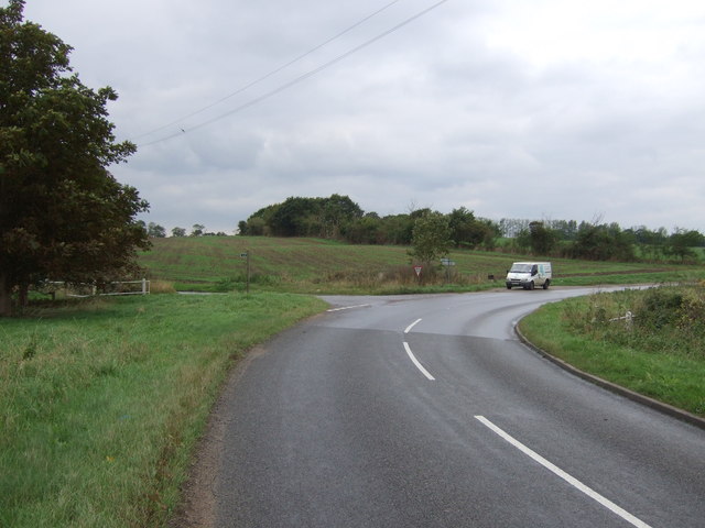
Despite its small size, Cookley benefits from good transport links, with access to major roads and public transport services. This allows residents to easily travel to nearby towns and cities for employment, shopping, and leisure activities. Overall, Cookley is a delightful rural parish that offers a peaceful and idyllic lifestyle in the heart of Suffolk.
If you have any feedback on the listing, please let us know in the comments section below.
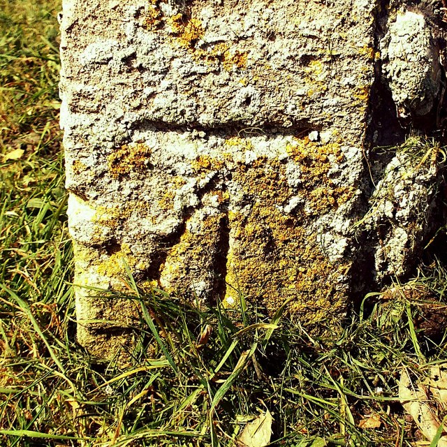
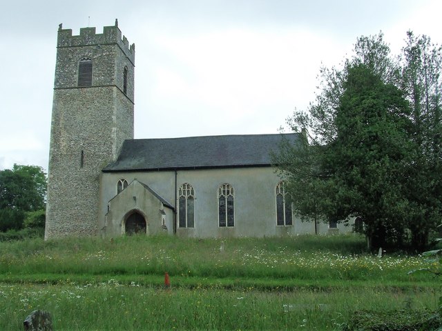
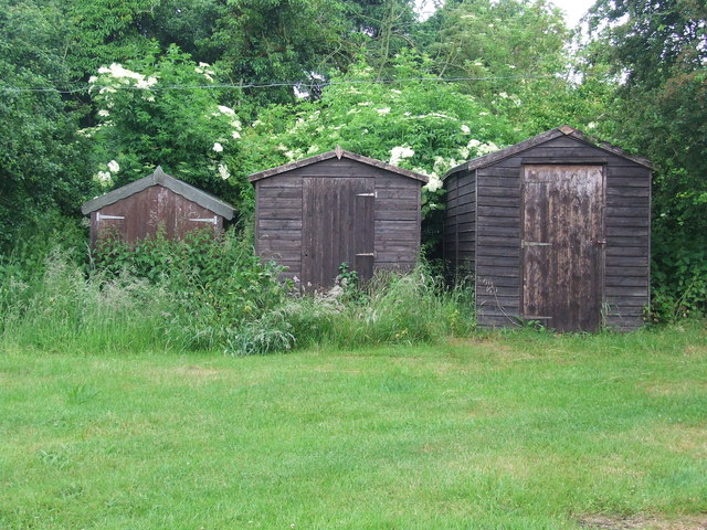
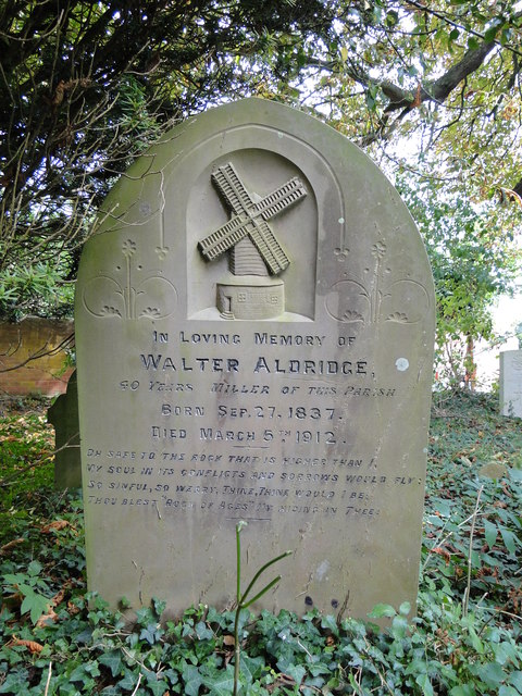
Cookley Images
Images are sourced within 2km of 52.329521/1.457614 or Grid Reference TM3575. Thanks to Geograph Open Source API. All images are credited.
Cookley is located at Grid Ref: TM3575 (Lat: 52.329521, Lng: 1.457614)
Administrative County: Suffolk
District: East Suffolk
Police Authority: Suffolk
What 3 Words
///disprove.skimmers.vital. Near Cookley, Suffolk
Nearby Locations
Related Wikis

Cookley, Suffolk
Cookley is a small village and civil parish in the East Suffolk district, in the east of the county of Suffolk, England. Nearby settlements include the...
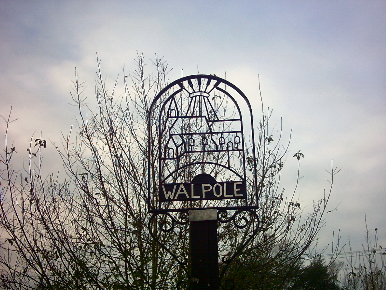
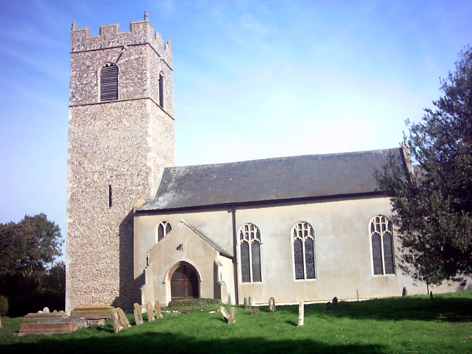
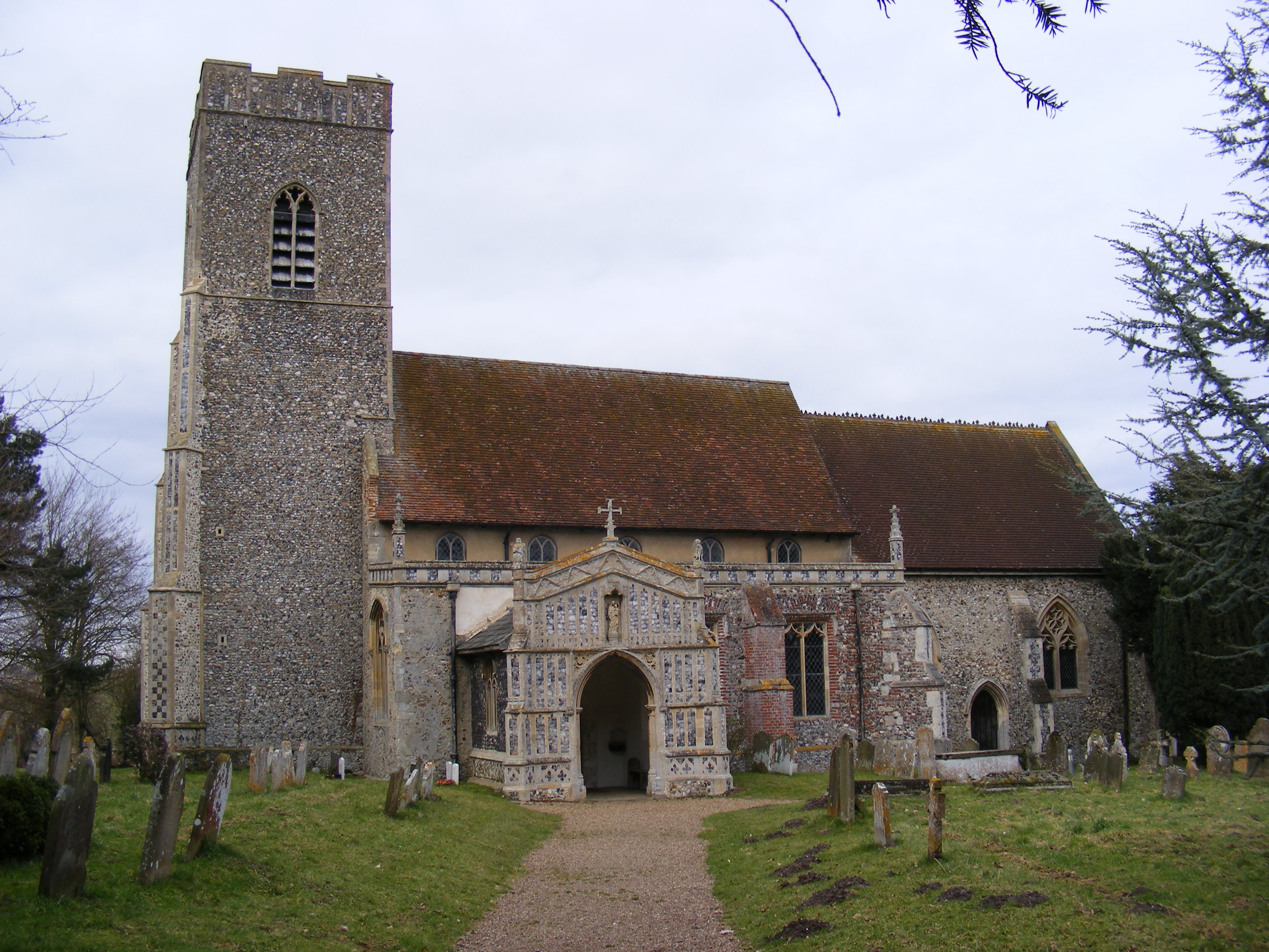
Walpole, Suffolk
Walpole is a small village and civil parish in the district of East Suffolk in Suffolk, England. Walpole has a parish church (dedicated to St Mary), a...

Walpole Old Chapel
Walpole Old Chapel is a redundant chapel in Halesworth Road, Walpole, Suffolk, England. Originally two farmhouses, it was converted into a chapel in the...
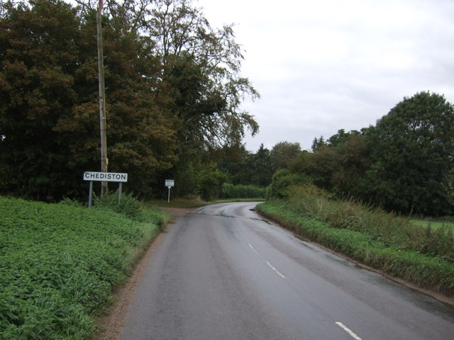
Chediston
Chediston is a village and a civil parish on the B1123 road, in the East Suffolk district, in the English county of Suffolk. It is located 2 miles west...
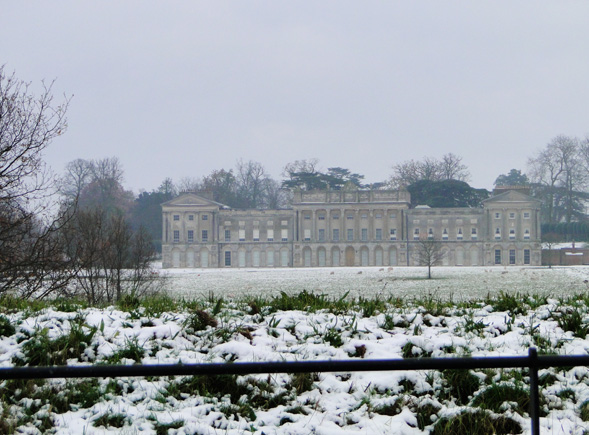
Heveningham Hall
Heveningham Hall is a Grade I listed building in Heveningham, Suffolk. The first house on the site was built for the politician and regicide William Heveningham...
Huntingfield, Suffolk
Huntingfield is a village near the B1117 road, in the East Suffolk district, in the county of Suffolk, England. The village is close to the source of the...

Linstead Parva
Linstead Parva is a small village and civil parish in the East Suffolk district of Suffolk in eastern England. It has a small but notable 13th-century...
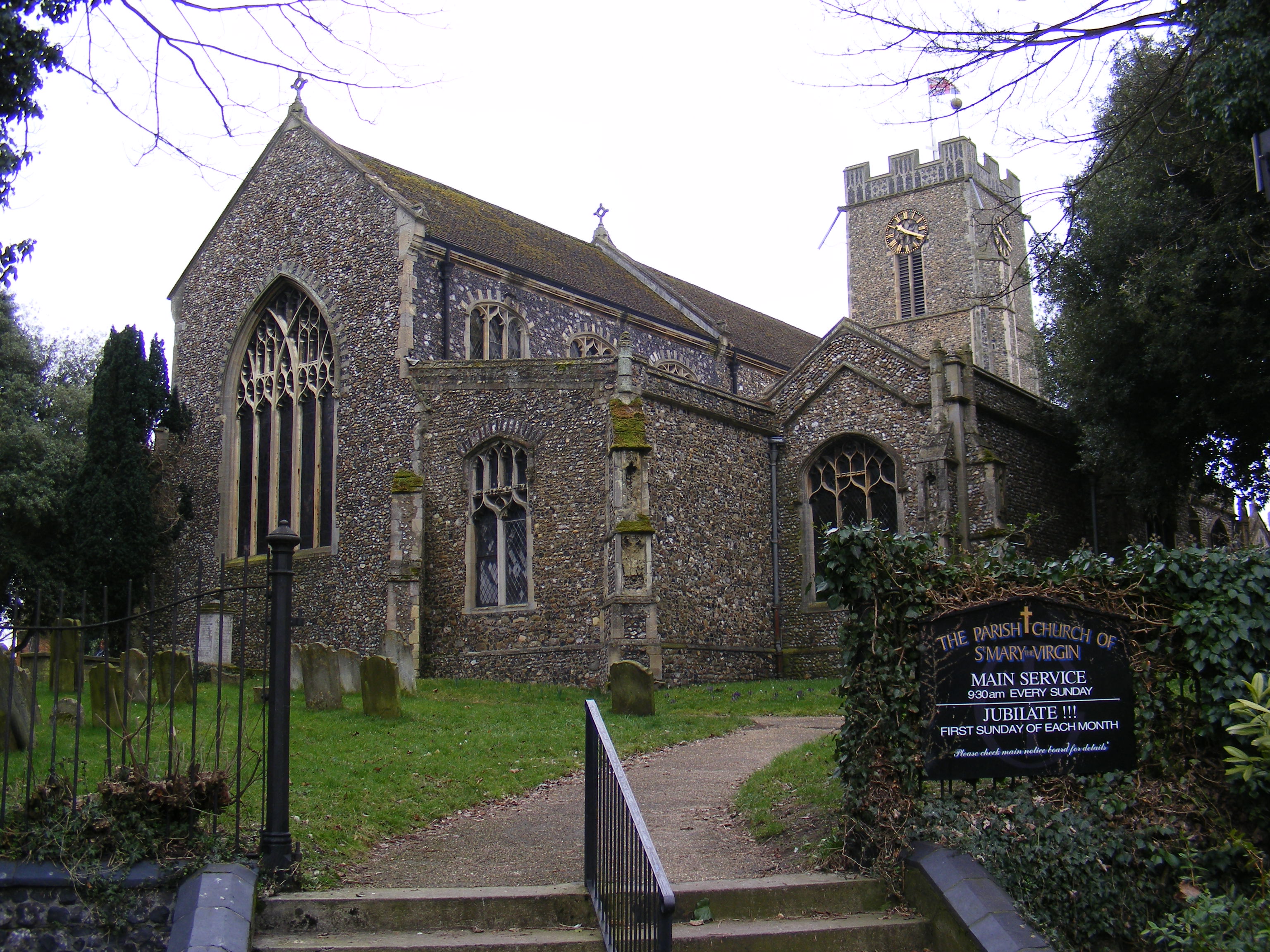
Halesworth
Halesworth is a market town, civil parish and electoral ward in north-eastern Suffolk, England. The population stood at 4,726 in the 2011 Census. It lies...
Have you been to Cookley?
Leave your review of Cookley below (or comments, questions and feedback).