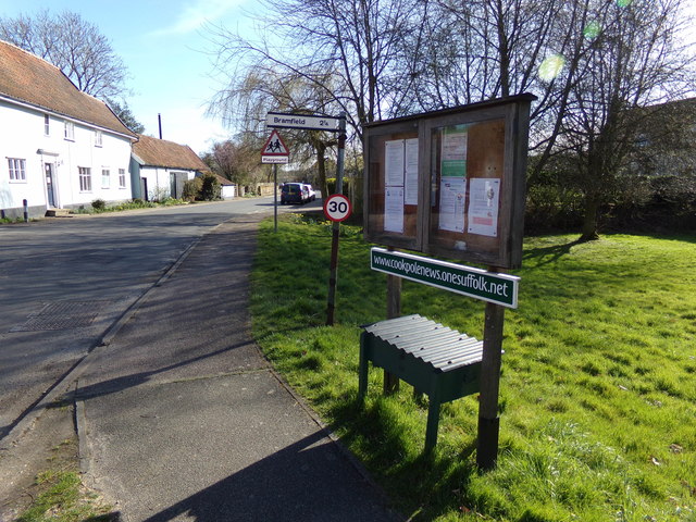
Cookley Street

Settlement in Suffolk East Suffolk

England

Cookley Street

Cut Mark Walpole St Mary's Church Cut Mark Walpole St Mary's Church Buttress S face, E wall.
Cut Mark Walpole St Mary's Church Credit: Cud05

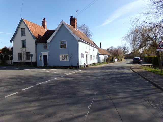
Cookley Street is a small village located in the county of Suffolk, England. Situated approximately 7 miles west of the market town of Halesworth, Cookley Street is a picturesque rural settlement that offers a tranquil and idyllic lifestyle for its residents.

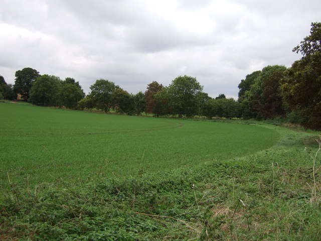
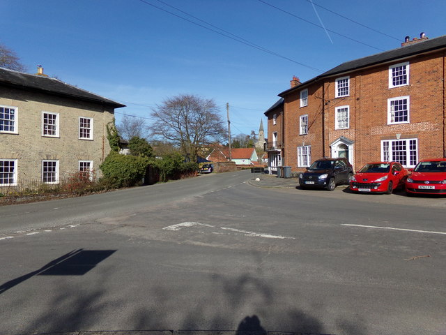
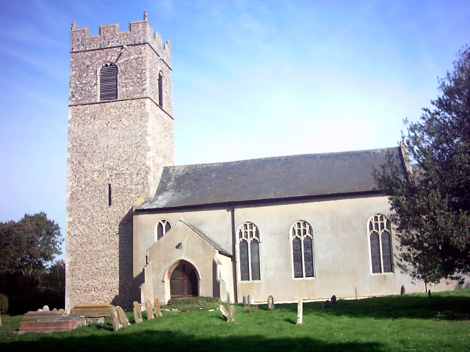
The village is characterized by its charming traditional cottages and buildings, which date back several centuries. The architecture reflects the rich history of the area and adds to the village's nostalgic appeal. The surrounding countryside is dominated by lush green fields, rolling hills, and meandering streams, offering stunning views and ample opportunities for outdoor activities such as walking, cycling, and horse riding.

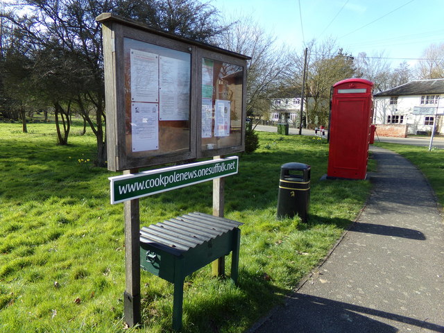
Cookley Street is home to a close-knit community that takes great pride in preserving the village's heritage and maintaining a strong sense of community spirit. The local village hall acts as a focal point for social gatherings and events, allowing residents to come together and enjoy various activities and celebrations throughout the year.

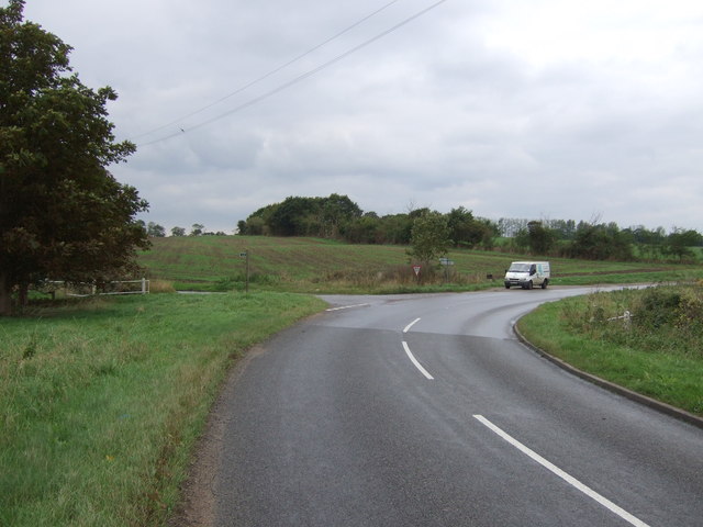
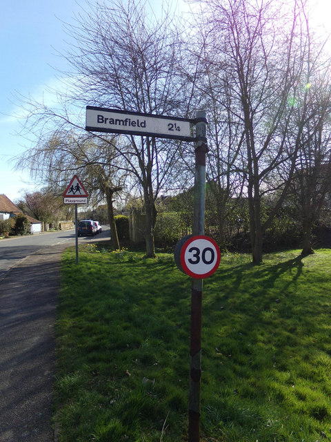
While the village itself is relatively small, it benefits from its close proximity to nearby towns and amenities. Halesworth, with its range of shops, schools, and leisure facilities, is within easy reach, providing residents with convenient access to essential services.

Overall, Cookley Street offers a charming and peaceful countryside living experience, making it an attractive place to reside for those seeking a slower pace of life, natural beauty, and a strong sense of community.

If you have any feedback on the listing, please let us know in the comments section below.

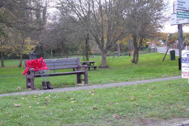
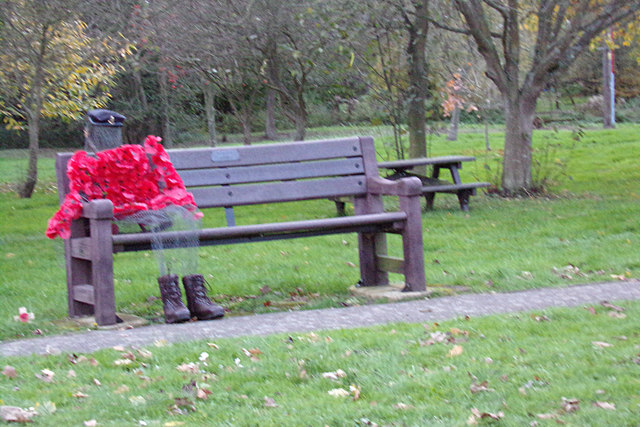
Cookley Street Images

Images are sourced within 2km of 52.323117/1.4580235 or Grid Reference TM3575. Thanks to Geograph Open Source API. All images are credited.

Cut Mark Walpole St Mary's Church Cut Mark Walpole St Mary's Church Buttress S face, E wall.
Cut Mark Walpole St Mary's Church
Cut Mark Walpole St Mary's Church Buttress S face, E wall.
Walter Aldridge, 50 years miller of this parish Headstone in Walpole churchyard.
<a title="https://www.geograph.org.uk/photo/5101252" href="https://www.geograph.org.uk/photo/5101252">Link</a>
Walter Aldridge, 50 years miller of this parish
Headstone in Walpole churchyard. Link
Walter Aldridge, 50 years miller of this parish Detail of a headstone in Walpole churchyard.
<a title="https://www.geograph.org.uk/photo/5101249" href="https://www.geograph.org.uk/photo/5101249">Link</a>
Walter Aldridge, 50 years miller of this parish
Detail of a headstone in Walpole churchyard. Link
Young crop field near Cookley Grange Off National Cycle Route 1 (B1123).
Young crop field near Cookley Grange
Off National Cycle Route 1 (B1123).
Sharp bend in National Cycle Route 1 (B1123)
Entering Walpole on the B1117 <span class="nowrap"><a title="https://en.wikipedia.org/wiki/Walpole,_Suffolk" rel="nofollow ugc noopener" href="https://en.wikipedia.org/wiki/Walpole,_Suffolk">Link</a><img style="margin-left:2px;" alt="External link" title="External link - shift click to open in new window" src="https://s1.geograph.org.uk/img/external.png" width="10" height="10"/></span>
Entering Walpole on the B1117
Walpole Village Name sign on the B1117 <span class="nowrap"><a title="https://en.wikipedia.org/wiki/Walpole,_Suffolk" rel="nofollow ugc noopener" href="https://en.wikipedia.org/wiki/Walpole,_Suffolk">Link</a><img style="margin-left:2px;" alt="External link" title="External link - shift click to open in new window" src="https://s1.geograph.org.uk/img/external.png" width="10" height="10"/></span>
Walpole Village Name sign on the B1117
B1117 Church Hill, Walpole At the junction with Cookley Road
B1117 Church Hill, Walpole
At the junction with Cookley Road
Walpole Village Name sign on the B1117 <span class="nowrap"><a title="https://en.wikipedia.org/wiki/Walpole,_Suffolk" rel="nofollow ugc noopener" href="https://en.wikipedia.org/wiki/Walpole,_Suffolk">Link</a><img style="margin-left:2px;" alt="External link" title="External link - shift click to open in new window" src="https://s1.geograph.org.uk/img/external.png" width="10" height="10"/></span>
Walpole Village Name sign on the B1117
Poppy Man On Peasenhall Road & Walpole Village Green at the junction with the B1117 Church Hill
Poppy Man
On Peasenhall Road & Walpole Village Green at the junction with the B1117 Church Hill
Poppy Man On Peasenhall Road & Walpole Village Green at the junction with the B1117 Church Hill
(Close up)
Poppy Man
On Peasenhall Road & Walpole Village Green at the junction with the B1117 Church Hill (Close up)
Cut Mark Huntingfield The Forge Cut Mark Huntingfield The Forge NW face.
Cut Mark Huntingfield The Forge
Cut Mark Huntingfield The Forge NW face.
Cut Mark Cookley St Michaels Church Cut Mark Cookley St Michaels Church W angle of tower, SW face.
Cut Mark Cookley St Michaels Church
Cut Mark Cookley St Michaels Church W angle of tower, SW face.
Peasenhall Road, Walpole At the junction with Bramfield Road near The Corner Cottage
Road No.C209
Peasenhall Road, Walpole
At the junction with Bramfield Road near The Corner Cottage Road No.C209
Walpole Village Notice Board On Peasenhall Road at the junction with Bramfield Road
<span class="nowrap"><a title="http://cookpolenews.onesuffolk.net/" rel="nofollow ugc noopener" href="http://cookpolenews.onesuffolk.net/">Link</a><img style="margin-left:2px;" alt="External link" title="External link - shift click to open in new window" src="https://s1.geograph.org.uk/img/external.png" width="10" height="10"/></span>
Walpole Village Notice Board
On Peasenhall Road at the junction with Bramfield Road LinkExternal link
B1117 Church Hill, Walpole At the junction with Peasenhall Road
B1117 Church Hill, Walpole
At the junction with Peasenhall Road
Signpost  on Peasenhall Road At the junction with Bramfield Road
Signpost on Peasenhall Road
At the junction with Bramfield Road
Walpole Village Notice Board On Peasenhall Road at the junction with Bramfield Road
<span class="nowrap"><a title="http://cookpolenews.onesuffolk.net/" rel="nofollow ugc noopener" href="http://cookpolenews.onesuffolk.net/">Link</a><img style="margin-left:2px;" alt="External link" title="External link - shift click to open in new window" src="https://s1.geograph.org.uk/img/external.png" width="10" height="10"/></span>
Walpole Village Notice Board
On Peasenhall Road at the junction with Bramfield Road LinkExternal link
Show me another place!

Cookley Street is located at Grid Ref: TM3575 (Lat: 52.323117, Lng: 1.4580235)

Administrative County: Suffolk

District: East Suffolk

Police Authority: Suffolk

What 3 Words

///should.cosmic.woes. Near Cookley, Suffolk

Nearby Locations

Cookley Street Cookley

Related Wikis

Cookley, Suffolk

Cookley is a small village and civil parish in the East Suffolk district, in the east of the county of Suffolk, England. Nearby settlements include the...
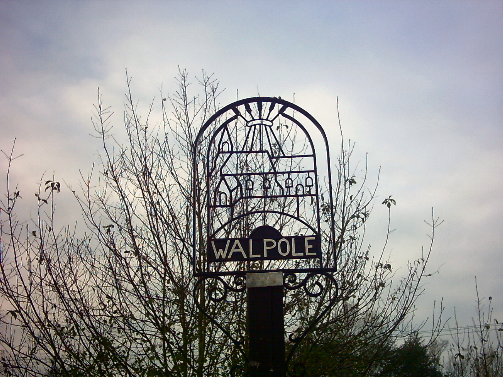
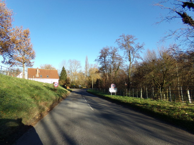
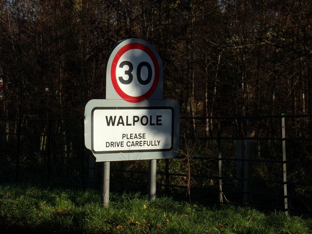
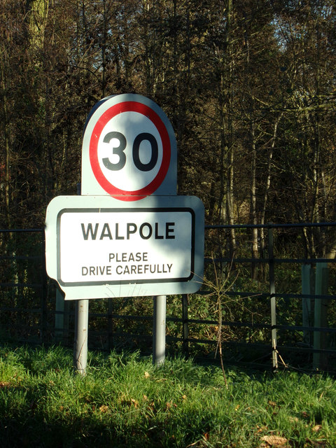
Walpole, Suffolk

Walpole is a small village and civil parish in the district of East Suffolk in Suffolk, England. Walpole has a parish church (dedicated to St Mary), a...
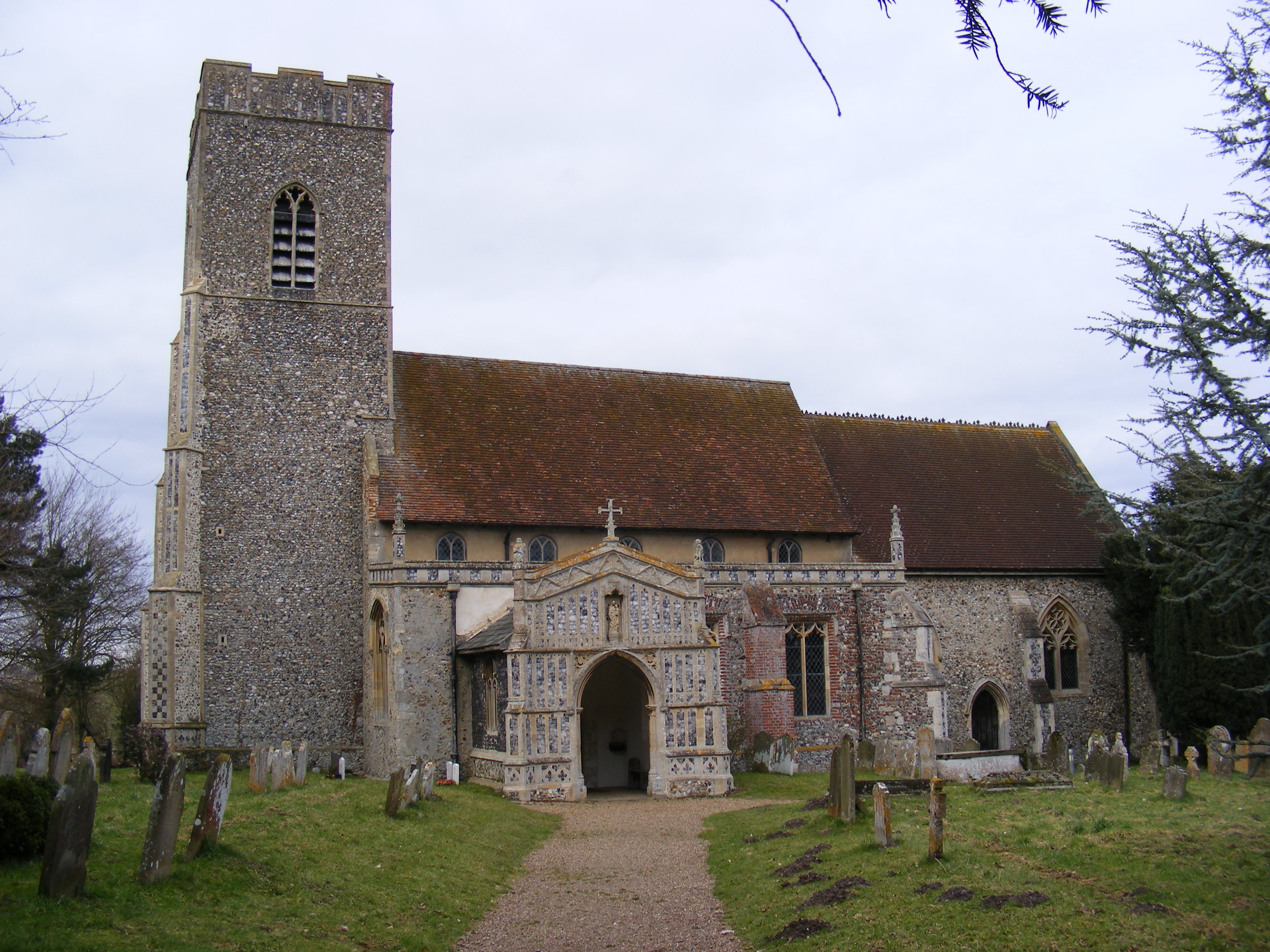
Walpole Old Chapel

Walpole Old Chapel is a redundant chapel in Halesworth Road, Walpole, Suffolk, England. Originally two farmhouses, it was converted into a chapel in the...
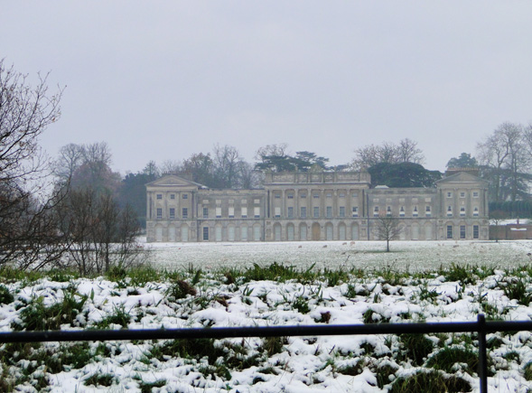
Heveningham Hall

Heveningham Hall is a Grade I listed building in Heveningham, Suffolk. The first house on the site was built for the politician and regicide William Heveningham...

Huntingfield, Suffolk

Huntingfield is a village near the B1117 road, in the East Suffolk district, in the county of Suffolk, England. The village is close to the source of the...

Chediston

Chediston is a village and a civil parish on the B1123 road, in the East Suffolk district, in the English county of Suffolk. It is located 2 miles west...

Heveningham

Heveningham is a village and civil parish in the East Suffolk district of Suffolk in eastern England. Located four miles south-west of Halesworth, in 2005...

Linstead Parva

Linstead Parva is a small village and civil parish in the East Suffolk district of Suffolk in eastern England. It has a small but notable 13th-century...

Related Videos

Heveningham Hall Aviation & Motorsport Concours D'Elegance July 2018

Heveningham Hall Aviation & Motorsport Concours D'Elegance 2018. 1st July 2018 Location : Heveningham Hall, Suffolk, UK ...

Best of spitfire display 2023!!

This display was performed at Heveningham hall country fair!! If you want to check out more plane content feel free to go to my ...

Nearby Amenities

Located within 500m of 52.323117,1.4580235
Ford: yes
Lat/Long: 52.3222028/1.459238
Post Box
Ref: IP19 5511
Lat/Long: 52.3231205/1.4577166
The data included in this document is from www.openstreetmap.org. The data is made available under ODbL.

Have you been to Cookley Street?

Leave your review of Cookley Street below (or comments, questions and feedback).