Cookley Green
Settlement in Suffolk East Suffolk
England
Cookley Green
Cookley Green is a quaint village located in the county of Suffolk, England. Situated within the Waveney Valley, this rural settlement is known for its picturesque landscapes and charming atmosphere. With a population of just over 200 residents, Cookley Green offers a peaceful and tight-knit community.
The village is surrounded by rolling hills, lush meadows, and dense woodland, providing residents and visitors with ample opportunities for outdoor activities. The nearby River Waveney adds to the area's natural beauty, offering stunning views and a tranquil environment for fishing or boating.
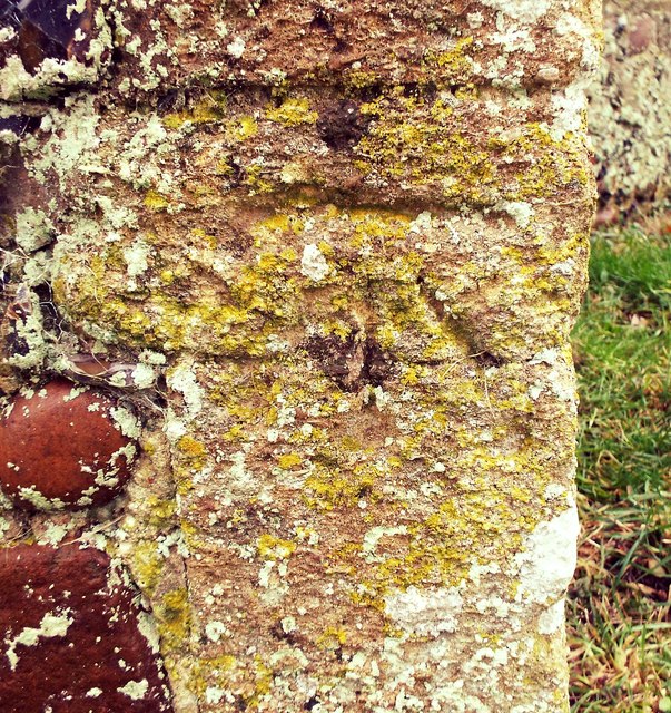
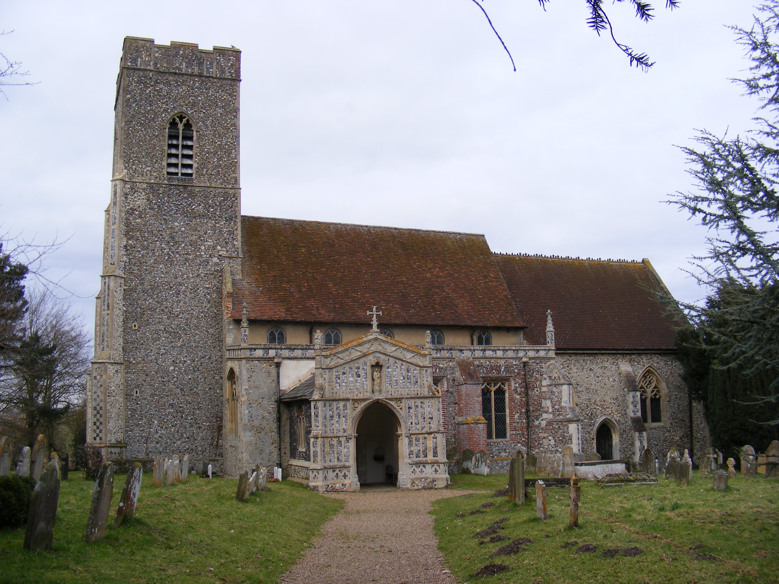
Cookley Green is a historically significant location, with evidence of human habitation dating back to the Iron Age. The village is home to several ancient landmarks, including St. Michael's Church, a Grade II listed building that dates back to the 13th century. Its architectural features and beautiful stained-glass windows make it a popular tourist attraction.
Despite its small size, Cookley Green boasts a close-knit community spirit. The village has a local pub, The Green Man, which serves as a social hub for residents and visitors alike. The pub offers traditional English cuisine and a warm, friendly atmosphere.
Although Cookley Green is primarily residential, it benefits from its proximity to larger towns such as Bungay and Beccles, where residents can access a wider range of amenities including schools, shops, and healthcare facilities.
Overall, with its idyllic countryside setting, rich history, and strong sense of community, Cookley Green offers a tranquil retreat for those seeking a peaceful and picturesque place to call home.
If you have any feedback on the listing, please let us know in the comments section below.
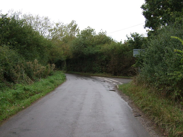
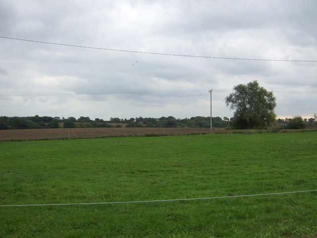
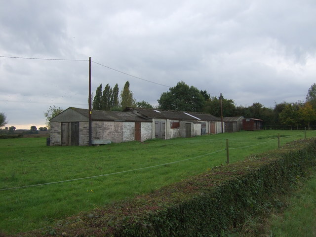
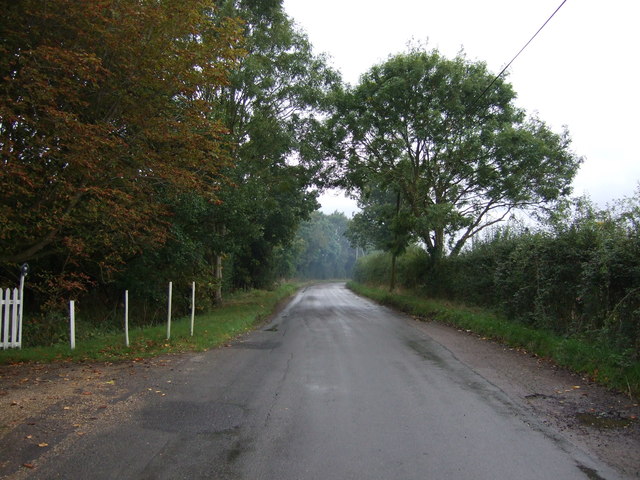
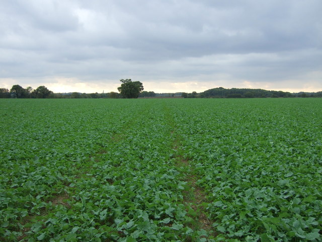
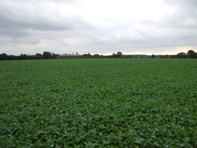
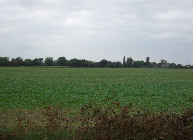
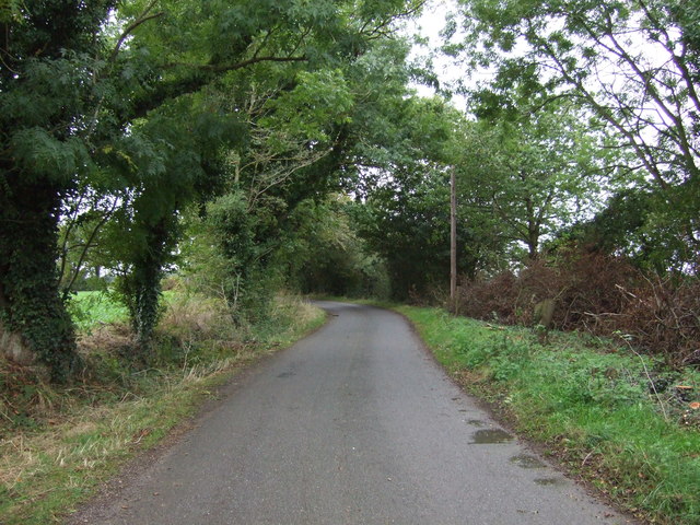
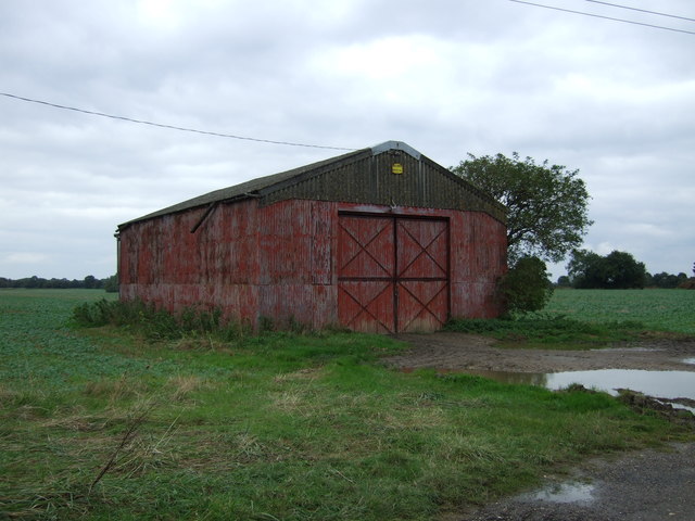
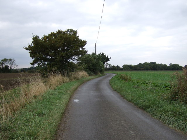
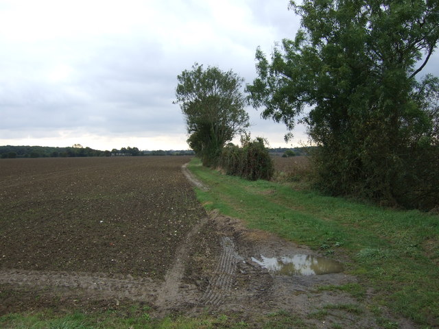
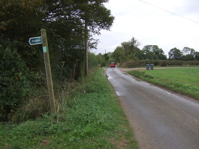
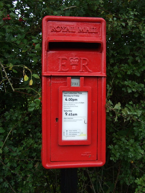
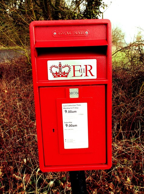
Cookley Green Images
Images are sourced within 2km of 52.328717/1.4294666 or Grid Reference TM3375. Thanks to Geograph Open Source API. All images are credited.

Cookley Green is located at Grid Ref: TM3375 (Lat: 52.328717, Lng: 1.4294666)
Administrative County: Suffolk
District: East Suffolk
Police Authority: Suffolk
What 3 Words
///shoulders.balance.define. Near Cookley, Suffolk
Nearby Locations
Related Wikis

Cookley, Suffolk
Cookley is a small village and civil parish in the East Suffolk district, in the east of the county of Suffolk, England. Nearby settlements include the...
Huntingfield, Suffolk
Huntingfield is a village near the B1117 road, in the East Suffolk district, in the county of Suffolk, England. The village is close to the source of the...

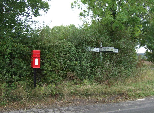
Linstead Magna
Linstead Magna is a civil parish in the East Suffolk district of Suffolk in eastern England. == Population and civil parish == In 2005 its population was...
Linstead Parva
Linstead Parva is a small village and civil parish in the East Suffolk district of Suffolk in eastern England. It has a small but notable 13th-century...
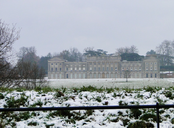
Heveningham Hall
Heveningham Hall is a Grade I listed building in Heveningham, Suffolk. The first house on the site was built for the politician and regicide William Heveningham...

Cratfield
Cratfield is a village in northern Suffolk, England. "It has a population of 292 according to the 2011 census." Neighbouring villages include Laxfield...
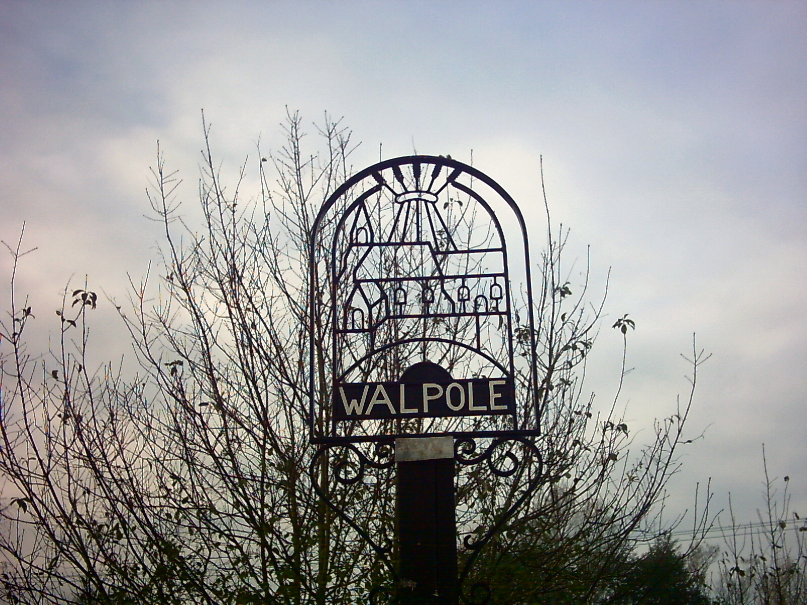
Walpole, Suffolk
Walpole is a small village and civil parish in the district of East Suffolk in Suffolk, England. Walpole has a parish church (dedicated to St Mary), a...

Heveningham
Heveningham is a village and civil parish in the East Suffolk district of Suffolk in eastern England. Located four miles south-west of Halesworth, in 2005...
Nearby Amenities
Located within 500m of 52.328717,1.4294666Have you been to Cookley Green?
Leave your review of Cookley Green below (or comments, questions and feedback).