Colwick

Civil Parish in Nottinghamshire Gedling

England

Colwick

Curzon Street, Netherfield Taken specifically for comparison with the image in Domesday Reloaded <span class="nowrap"><a title="http://www.bbc.co.uk/history/domesday/dblock/GB-460000-339000/picture/1" rel="nofollow ugc noopener" href="http://www.bbc.co.uk/history/domesday/dblock/GB-460000-339000/picture/1">Link</a><img style="margin-left:2px;" alt="External link" title="External link - shift click to open in new window" src="https://s1.geograph.org.uk/img/external.png" width="10" height="10"/></span> . As the caption there states, this is a typical Netherfield Street, and it took a bit of research to decide exactly which street it was. The taller building just visible further down the left hand side of the street in the older picture (possibly industrial premises) has now been replaced with more modern housing.
The main change is the increase in the number of parked cars.
Curzon Street, Netherfield Credit: Alan Murray-Rust

Colwick is a civil parish located in the county of Nottinghamshire, England. Situated approximately 4 miles east of Nottingham city centre, it covers an area of around 5 square miles. The parish is bordered by the River Trent to the south and the Nottingham Racecourse to the northwest.

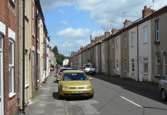
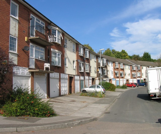
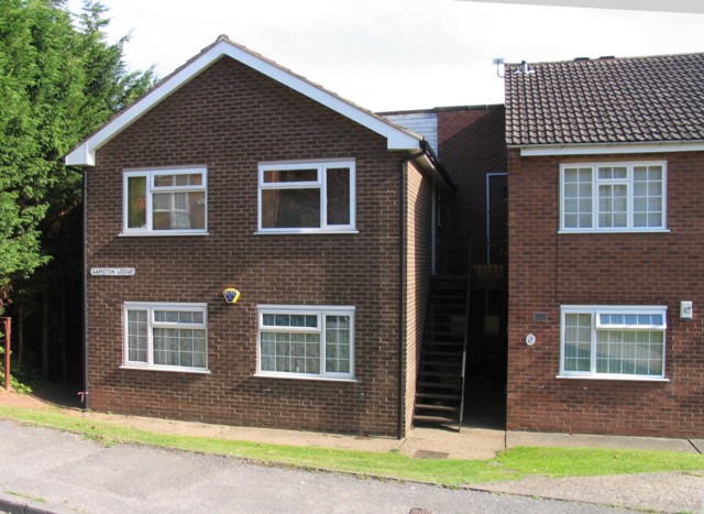
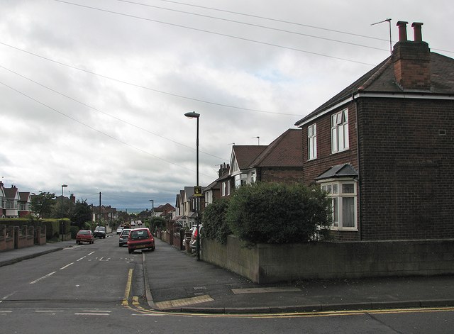
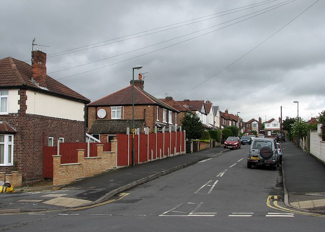
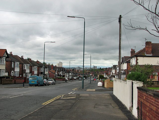
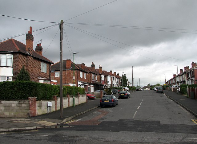
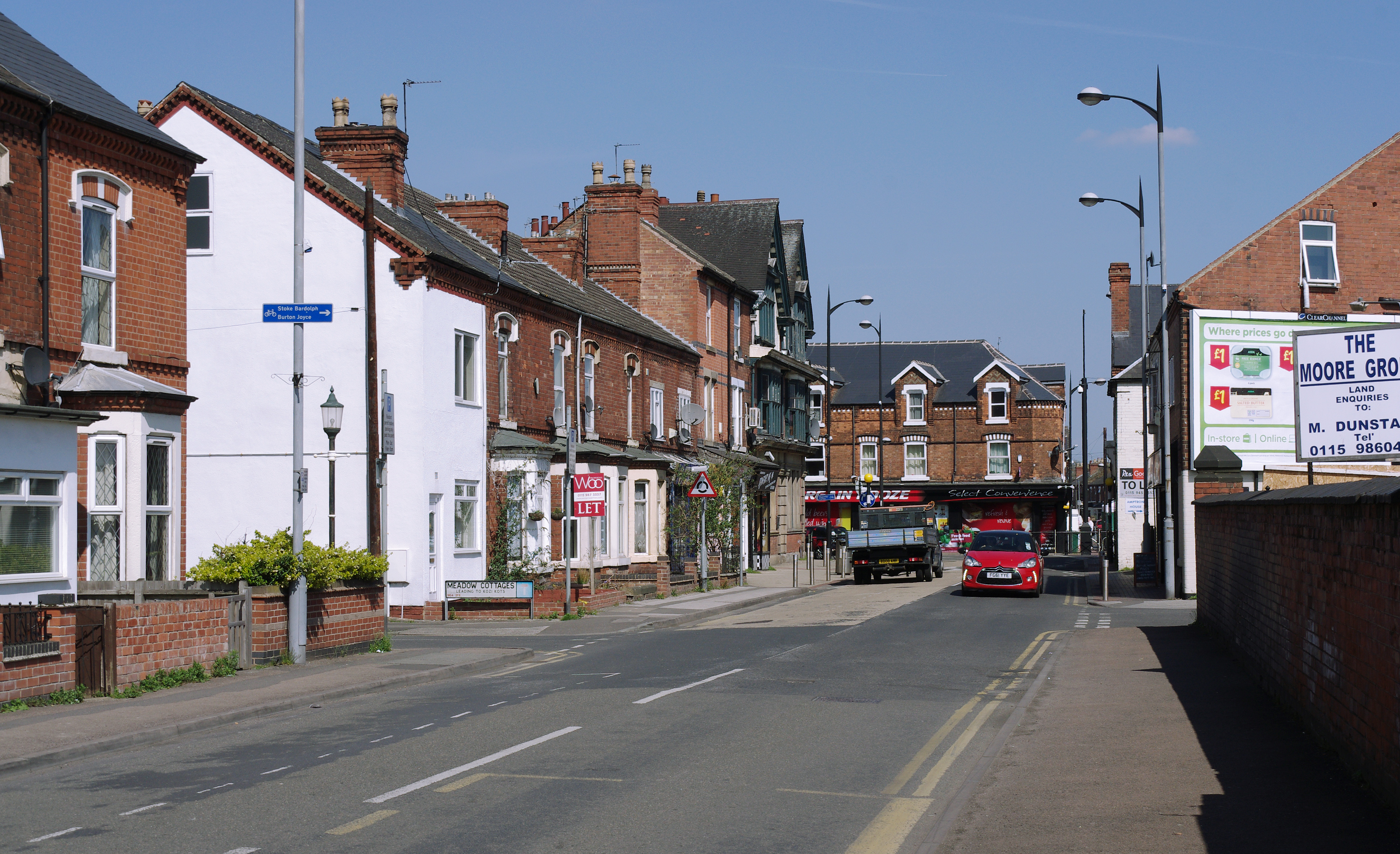
Colwick has a population of around 2,500 residents, according to the latest census data. The area is primarily residential, with a mix of housing types ranging from traditional cottages to modern developments. The village centre features a few local amenities, including a post office, a convenience store, and a pub.

One of the notable attractions in Colwick is Colwick Hall, a Grade II listed country house that dates back to the 18th century. The hall is surrounded by picturesque parkland and is known for its stunning architecture. It has been converted into a luxury hotel and wedding venue, attracting visitors from near and far.

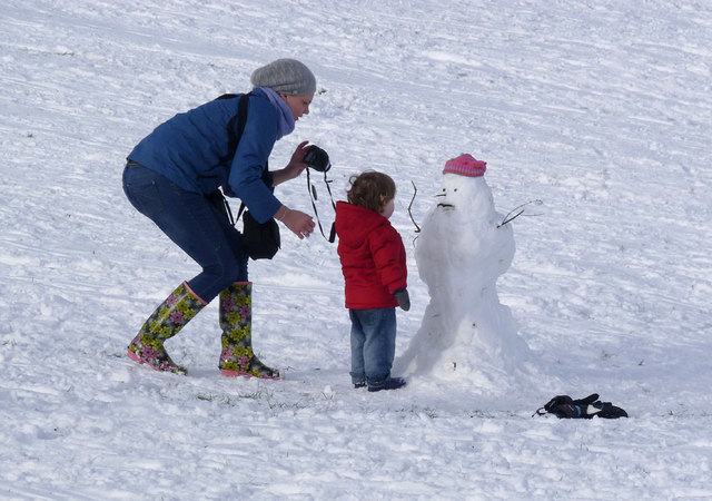
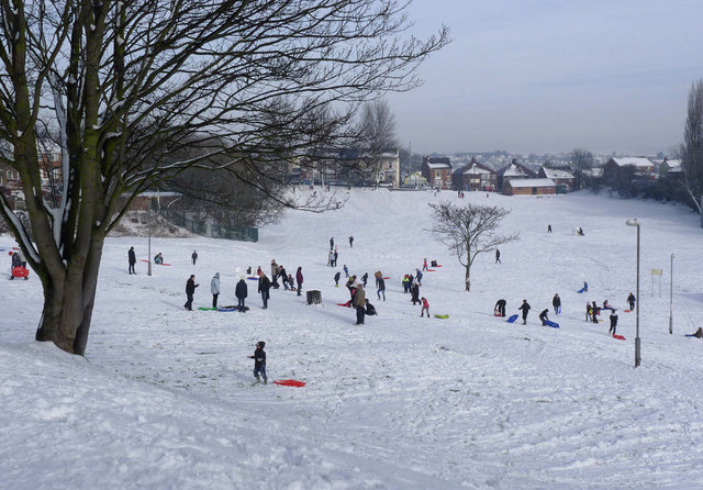
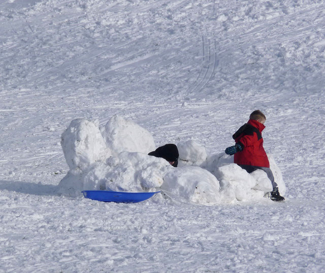
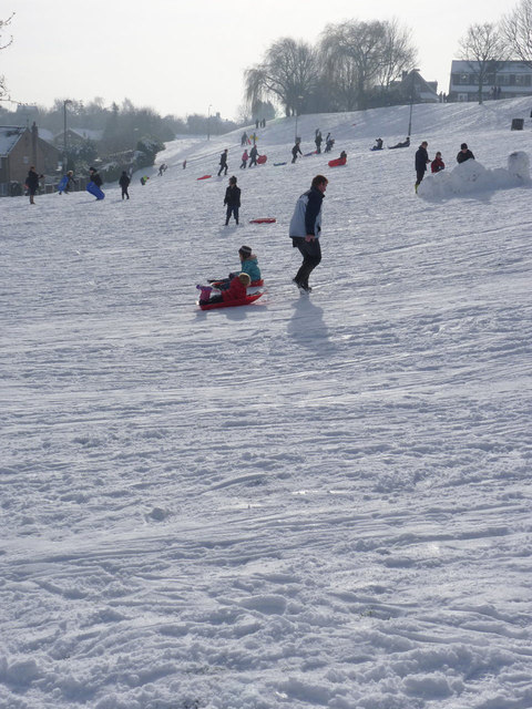
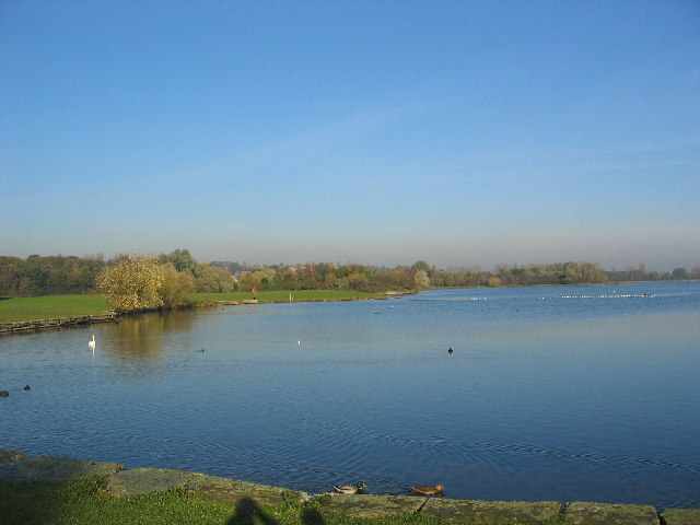
The nearby Colwick Country Park is another popular spot in the area. Covering approximately 250 acres, the park offers a range of recreational activities, including walking trails, fishing lakes, and a watersports centre. It is a haven for nature lovers and provides a tranquil escape from the urban surroundings.

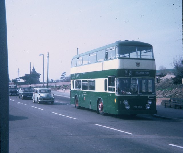
In terms of transportation, Colwick is well-connected to Nottingham city centre and other surrounding areas. The A612 road runs through the parish, providing easy access to the wider road network. There are also bus services that connect Colwick to Nottingham and other nearby towns.

If you have any feedback on the listing, please let us know in the comments section below.

Colwick Images

Images are sourced within 2km of 52.955827/-1.088443 or Grid Reference SK6140. Thanks to Geograph Open Source API. All images are credited.

Curzon Street, Netherfield Taken specifically for comparison with the image in Domesday Reloaded <span class="nowrap"><a title="http://www.bbc.co.uk/history/domesday/dblock/GB-460000-339000/picture/1" rel="nofollow ugc noopener" href="http://www.bbc.co.uk/history/domesday/dblock/GB-460000-339000/picture/1">Link</a><img style="margin-left:2px;" alt="External link" title="External link - shift click to open in new window" src="https://s1.geograph.org.uk/img/external.png" width="10" height="10"/></span> . As the caption there states, this is a typical Netherfield Street, and it took a bit of research to decide exactly which street it was. The taller building just visible further down the left hand side of the street in the older picture (possibly industrial premises) has now been replaced with more modern housing.
The main change is the increase in the number of parked cars.
Curzon Street, Netherfield
Taken specifically for comparison with the image in Domesday Reloaded LinkExternal link . As the caption there states, this is a typical Netherfield Street, and it took a bit of research to decide exactly which street it was. The taller building just visible further down the left hand side of the street in the older picture (possibly industrial premises) has now been replaced with more modern housing. The main change is the increase in the number of parked cars.
Vale Road postbox ref NG4 450 GIVR pillar box and standard K6 telephone kiosk at the corner of Vale Road and New Vale Road.
Vale Road postbox ref NG4 450
GIVR pillar box and standard K6 telephone kiosk at the corner of Vale Road and New Vale Road.
Carlton Fire Station The new fire station opened officially in January 2011 to replace <a title="https://www.geograph.org.uk/photo/418380" href="https://www.geograph.org.uk/photo/418380">Link</a> . It was immediately in turmoil as the current spending cuts envisaged the loss of one of the two appliances stationed here, together with its retained status.
Carlton Fire Station
The new fire station opened officially in January 2011 to replace Link . It was immediately in turmoil as the current spending cuts envisaged the loss of one of the two appliances stationed here, together with its retained status.
Gedling Road postbox NG4 443 GVIR pillar box on Gedling Road near Redland Grove.
Gedling Road postbox NG4 443
GVIR pillar box on Gedling Road near Redland Grove.
Belvoir Lodge Modern terraced houses.
Belvoir Lodge
Modern terraced houses.
Gamston Lodge
Gamston Lodge
Clearing the snow The first snowfall of the winter comes to Nottingham - a bit later than much of the rest of the country.
Clearing the snow
The first snowfall of the winter comes to Nottingham - a bit later than much of the rest of the country.
On the slopes The fall of snow was good powder snow, giving ideal tobogganing conditions. The landscaped sides of this former brickyard make ideal slopes of varying lengths, with plenty of safe runs for beginners.
On the slopes
The fall of snow was good powder snow, giving ideal tobogganing conditions. The landscaped sides of this former brickyard make ideal slopes of varying lengths, with plenty of safe runs for beginners.
Carlton Hill Recreation Ground Sunday morning after the first snowfall of the winter.
Carlton Hill Recreation Ground
Sunday morning after the first snowfall of the winter.
Good morning, Mr. Snowman Probably the first snowman this young person has ever encountered, and a fine, friendly one at that.
Good morning, Mr. Snowman
Probably the first snowman this young person has ever encountered, and a fine, friendly one at that.
Winter landscape with sledgers (but no bird trap) It was only when I got this image home that I realised the remarkable resemblance (although reversed) to the famous landscape painting by Pieter Bruegel the Elder - Winter landscape with skaters and a bird trap. <span class="nowrap"><a title="http://www.wallpapers-free.co.uk/background/paintings/pieter_bruegel_the_elder/winter-landscape-with-skaters-and-a-bird-trap/" rel="nofollow ugc noopener" href="http://www.wallpapers-free.co.uk/background/paintings/pieter_bruegel_the_elder/winter-landscape-with-skaters-and-a-bird-trap/">Link</a><img style="margin-left:2px;" alt="External link" title="External link - shift click to open in new window" src="https://s1.geograph.org.uk/img/external.png" width="10" height="10"/></span> (In this case the flat area is a football field rather than water). It shows just how well Bruegel has captured the motion of the people in his painting.
Winter landscape with sledgers (but no bird trap)
It was only when I got this image home that I realised the remarkable resemblance (although reversed) to the famous landscape painting by Pieter Bruegel the Elder - Winter landscape with skaters and a bird trap. LinkExternal link (In this case the flat area is a football field rather than water). It shows just how well Bruegel has captured the motion of the people in his painting.
Snow castle The first snowfall of the winter provides plenty of enjoyment.
Snow castle
The first snowfall of the winter provides plenty of enjoyment.
On the piste The landscaped slopes of the former brickyard, now Carlton Hill Recreation Ground, are ideal for tobogganing, especially when the snow is powdery. There was even one young lady on skis.
On the piste
The landscaped slopes of the former brickyard, now Carlton Hill Recreation Ground, are ideal for tobogganing, especially when the snow is powdery. There was even one young lady on skis.
Bus at the Carlton Terminus Taken in May 1969, this photo shows 515 (PTO 515G) a Leyland Atlantean with Northern Counties 76-seater bodywork in Cavendish Road, Carlton about to leave on route 72 to Wollaton Park via Nottingham City Centre. It was operated by Nottingham City Transport and has a blank illuminated advertisement panel below the upper deck windows. These panels were adopted by several UK bus operators in the 1960s, but with limited success from advertisers. This section of route from Carlton (Post Office Square) to Wollaton Park used to be operated by trolleybuses until the 30th September 1965, the route number then being 39. A few redundant trolleybus traction poles can be seen with the lamp standard to the left of the photo, but these would now have long ago been taken out. Cavendish Road in Carlton is now covered by Nottingham Buses Lilac Route 27 from Nottingham City Centre.
Bus at the Carlton Terminus
Taken in May 1969, this photo shows 515 (PTO 515G) a Leyland Atlantean with Northern Counties 76-seater bodywork in Cavendish Road, Carlton about to leave on route 72 to Wollaton Park via Nottingham City Centre. It was operated by Nottingham City Transport and has a blank illuminated advertisement panel below the upper deck windows. These panels were adopted by several UK bus operators in the 1960s, but with limited success from advertisers. This section of route from Carlton (Post Office Square) to Wollaton Park used to be operated by trolleybuses until the 30th September 1965, the route number then being 39. A few redundant trolleybus traction poles can be seen with the lamp standard to the left of the photo, but these would now have long ago been taken out. Cavendish Road in Carlton is now covered by Nottingham Buses Lilac Route 27 from Nottingham City Centre.
Bakersfield: Greendale Road Part of the inter-wars eastward expansion of the city. This is the hillier part of Nottingham (about 85m/278ft above sea level here), with views southwards over the Trent Valley to the Vale of Belvoir.
Bakersfield: Greendale Road
Part of the inter-wars eastward expansion of the city. This is the hillier part of Nottingham (about 85m/278ft above sea level here), with views southwards over the Trent Valley to the Vale of Belvoir.
Bakersfield: the corner of Oakdale and Greendale Roads Houses built in the 1930s as the city expanded eastwards into the hills north of Colwick Woods.
Bakersfield: the corner of Oakdale and Greendale Roads
Houses built in the 1930s as the city expanded eastwards into the hills north of Colwick Woods.
Bakersfield: Oakdale Road Oakdale Road is an extension of Sneinton Dale, developed in the 1930s as the city expanded eastwards. This is the view down the hill towards the city centre.
Bakersfield: Oakdale Road
Oakdale Road is an extension of Sneinton Dale, developed in the 1930s as the city expanded eastwards. This is the view down the hill towards the city centre.
Bakersfield: Dovedale Road The city expanded into this part of the eastern hills in the 1930s.
Bakersfield: Dovedale Road
The city expanded into this part of the eastern hills in the 1930s.
Show me another place!

Colwick is located at Grid Ref: SK6140 (Lat: 52.955827, Lng: -1.088443)

Administrative County: Nottinghamshire

District: Gedling

Police Authority: Nottinghamshire

What 3 Words

///career.harder.custom. Near Radcliffe on Trent, Nottinghamshire

Nearby Locations

Whimsey Park Colwick

Related Wikis

Colwick

Colwick ( KOL-ik) is a village, civil parish, in the Borough of Gedling in Nottinghamshire, England. It is situated to the east of Nottingham's city boundary...

Greenwood Academies Trust

The Greenwood Academies Trust is a large multi-academy trust in England, centred around the Nottingham Academy, which was formerly the Greenwood Dale...

Netherfield railway station

Netherfield railway station (originally opened as Colwick and later known as Netherfield and Colwick) serves the town of Netherfield in the Borough of...

Colwick Country Park

Colwick Country Park is a country park in Colwick, Nottingham, England. == History == The estate upon which the park resides dates back to 1362. The current...

St Paul's Church, Carlton-in-the-Willows

St. Paul's Church, Carlton-in-the-Willows is a parish church in the Church of England in Carlton, Nottinghamshire. It is a Grade II listed building....

Carlton railway station

Carlton railway station serves the town of Carlton, Nottinghamshire, England. The station is 3 miles (5 km) east of Nottingham on the Nottingham to Lincoln...

Netherfield, Nottinghamshire

Netherfield is a town in the Borough of Gedling in Nottinghamshire, England. It is situated to the east of Nottingham's city boundary and is approximately...

Holme Pierrepont National Watersports Centre

Holme Pierrepont Country Park, home of The National Water Sports Centre is located in the hamlet of Holme Pierrepont near Nottingham, England and on the...

Nearby Amenities

Located within 500m of 52.955827,-1.088443
Traffic Signals
Lat/Long: 52.955001/-1.093613
Colwick
Is In: Nottinghamshire
Place: village
Wikidata: Q1818059
Wikipedia: en:Colwick
Lat/Long: 52.9561946/-1.0890599
Traffic Calming: hump
Lat/Long: 52.9520968/-1.0892459
Restaurant
Toby Carvery
Addr City: Nottingham
Addr Housename: Colwick park pub
Addr Postcode: NG2 4BP
Addr Street: Daleside Road East
Addr Suburb: Colwick
Brand: Toby Carvery
Brand Wikidata: Q7811777
Cuisine: british
Source: survey
Source Addr: Food Hygiene Open Data
Lat/Long: 52.9552151/-1.0954628
Entrance: main
Lat/Long: 52.9555711/-1.0919635
Entrance: main
Lat/Long: 52.956117/-1.0917053
Note: Removed before 2015-05-10
Old Amenity: post_box
Old Operator: Royal Mail
Old Ref: NG4 463
Source: survey
Lat/Long: 52.957193/-1.0953543
Bus Stop
New Vale Road
Bus: yes
Ele: 24.879639
Naptan AtcoCode: 3300GE0211
Naptan Bearing: SW
Naptan CommonName: New Vale Road
Naptan Crossing: New Vale Road
Naptan Indicator: opp
Naptan NaptanCode: ntsatmtd
Naptan Notes: (This stop renumbered from 3300CK11)
Naptan PlusbusZoneRef: NTNG
Naptan Street: Vale Road
Naptan Verified: yes
Public Transport: platform
Shelter: yes
Source: naptan_import;GPS
Lat/Long: 52.9558684/-1.0917278
Barrier: bollard
Lat/Long: 52.9549511/-1.0916154
Post Box
Brand: Royal Mail
Brand Wikidata: Q638098
Collection Times: Mo-Fr 17:30; Sa 09:30
Operator: Royal Mail
Operator Wikidata: Q638098
Post Box Type: pillar
Ref: NG4 450
Royal Cypher: GVIR
Royal Cypher Wikidata: Q33102169
Source: survey
Lat/Long: 52.9556311/-1.092729
Booth: K6
Removed Amenity: telephone
Lat/Long: 52.9556644/-1.0927012
Turning Circle
Lat/Long: 52.9551901/-1.0865447
Bus Stop
Mays Avenue
Bus: yes
Local Ref: BF17
Naptan AtcoCode: 3390BF17
Naptan Bearing: SW
Naptan CommonName: Mays Avenue
Naptan Indicator: Stop BF17
Naptan Landmark: Opposite Mays Avenue
Naptan NaptanCode: ntmagptj
Naptan PlusbusZoneRef: NTNG
Naptan Street: Greenwood Road
Naptan Verified: yes
Public Transport: platform
Shelter: yes
Source: naptan_import
Lat/Long: 52.9570824/-1.0953198
Bus Stop
Rectory Road
Bus: yes
Local Ref: CK23
Naptan AtcoCode: 3390CK23
Naptan Bearing: W
Naptan CommonName: Rectory Road
Naptan Indicator: Stop CK23
Naptan Landmark: Colwick Park
Naptan NaptanCode: ntmadama
Naptan PlusbusZoneRef: NTNG
Naptan Street: Colwick Loop Road
Naptan Verified: no
Public Transport: platform
Source: naptan_import
Lat/Long: 52.954804/-1.0924348
Bus Stop
St John School
Bus: yes
Local Ref: GE0214
Naptan AtcoCode: 3300GE0214
Naptan Bearing: SW
Naptan CommonName: St John School
Naptan Crossing: Lawrence Avenue
Naptan Indicator: opp
Naptan Landmark: St John School
Naptan NaptanCode: ntsatmtm
Naptan Notes: (This stop renumbered from 3300CK10)
Naptan PlusbusZoneRef: NTNG
Naptan Street: Vale Road
Naptan Verified: yes
Public Transport: platform
Shelter: yes
Source: naptan_import
Lat/Long: 52.9577262/-1.0889795
Bus Stop
St John School
Bus: yes
Local Ref: GE0215
Naptan AtcoCode: 3300GE0215
Naptan Bearing: NE
Naptan CommonName: St John School
Naptan Crossing: Furzebrook Road
Naptan Indicator: adj
Naptan Landmark: St John School
Naptan NaptanCode: ntsatmtp
Naptan Notes: (This stop renumbered from 3300CK05)
Naptan PlusbusZoneRef: NTNG
Naptan Street: Vale Road
Naptan Verified: yes
Public Transport: platform
Shelter: yes
Source: naptan_import
Lat/Long: 52.958011/-1.0886013
Bus Stop
Verona Avenue
Bus: yes
Check Date Shelter: 2023-10-08
Local Ref: GE0216
Naptan AtcoCode: 3300GE0216
Naptan Bearing: NE
Naptan CommonName: Verona Avenue
Naptan Crossing: Verona Avenue
Naptan Indicator: adj
Naptan NaptanCode: ntsatmtw
Naptan Notes: (This stop renumbered from 3300CK06)
Naptan PlusbusZoneRef: NTNG
Naptan Street: Vale Road
Naptan Verified: yes
Public Transport: platform
Shelter: no
Source: naptan_import
Lat/Long: 52.9595204/-1.0849817
Bus Stop
Verona Avenue
Bus: yes
Check Date Shelter: 2023-10-08
Local Ref: GE0217
Naptan AtcoCode: 3300GE0217
Naptan Bearing: SW
Naptan CommonName: Verona Avenue
Naptan Crossing: Verona Avenue
Naptan Indicator: opp
Naptan NaptanCode: ntsatmwa
Naptan Notes: (This stop renumbered from 3300CK09)
Naptan PlusbusZoneRef: NTNG
Naptan Street: Vale Road
Naptan Verified: yes
Public Transport: platform
Shelter: no
Source: naptan_import
Lat/Long: 52.9596157/-1.0845033
Bus Stop
Greenwood Crescent
Bus: yes
Naptan AtcoCode: 3300GE0291
Naptan Bearing: NE
Naptan CommonName: Greenwood Crescent
Naptan Crossing: Greenwood Crescent
Naptan Indicator: adj
Naptan NaptanCode: ntsatwgd
Naptan Notes: (This stop renumbered to 3300BF11)
Naptan PlusbusZoneRef: NTNG
Naptan Street: Greenwood Road
Naptan Verified: no
Public Transport: platform
Source: naptan_import
Lat/Long: 52.959273/-1.0914033
Bus Stop
Manor Farm
Bus: yes
Naptan AtcoCode: 3300GE0293
Naptan Bearing: E
Naptan CommonName: Manor Farm
Naptan Indicator: adj
Naptan Landmark: Manor Farm
Naptan NaptanCode: ntsatwgm
Naptan Notes: (This stop renumbered from 3300CK18)
Naptan PlusbusZoneRef: NTNG
Naptan Street: Mile End Road
Naptan Verified: yes
Public Transport: platform
Shelter: no
Source: naptan_import
Lat/Long: 52.9543056/-1.0872204
Bus Stop
Greenwood Crescent
Bus: yes
Naptan AtcoCode: 3300GE0305
Naptan Bearing: SW
Naptan CommonName: Greenwood Crescent
Naptan Crossing: Greenwood Crescent
Naptan Indicator: opp
Naptan NaptanCode: ntsatdja
Naptan Notes: none
Naptan PlusbusZoneRef: NTNG
Naptan Street: Greenwood Road
Naptan Verified: no
Public Transport: platform
Source: naptan_import
Lat/Long: 52.958864/-1.0919925
Bus Stop
Hillary's Blinds
Alt Name: Industrial Estate
Bus: yes
Local Ref: GE0320
Naptan AltCommonName: Industrial Estate
Naptan AltStreet: Private Road No. 2
Naptan AtcoCode: 3300GE0320
Naptan Bearing: NE
Naptan CommonName: Hillarys Blinds
Naptan Indicator: adj
Naptan Landmark: Hillarys Blinds
Naptan NaptanCode: ntsatdwd
Naptan Notes: (This stop renumbered from 3300CK19)
Naptan PlusbusZoneRef: NTNG
Naptan Street: Private Road No. 2
Naptan Verified: yes
Public Transport: platform
Shelter: yes
Source: naptan_import
Lat/Long: 52.9554384/-1.082567
Bus Stop
Hillary's Blinds
Alt Name: Industrial Estate
Bus: yes
Local Ref: GE0327
Naptan AltCommonName: Industrial Estate
Naptan AltStreet: Private Road No 2
Naptan AtcoCode: 3300GE0327
Naptan Bearing: SW
Naptan CommonName: Hillarys Blinds
Naptan Indicator: opp
Naptan Landmark: Hillarys Blinds
Naptan NaptanCode: ntsatgag
Naptan Notes: (This stop renumbered from 3300CK16)
Naptan PlusbusZoneRef: NTNG
Naptan Street: Private Road No. 2
Naptan Verified: yes
Public Transport: platform
Shelter: yes
Source: naptan_import
Lat/Long: 52.9548726/-1.0837996
Bus Stop
Manor Farm
Bench: yes
Bus: yes
Naptan AtcoCode: 3300GE0334
Naptan Bearing: W
Naptan CommonName: Manor Farm
Naptan Indicator: opp
Naptan Landmark: Manor Farm
Naptan NaptanCode: ntsapmtp
Naptan Notes: (This stop renumbered from 3300CK17)
Naptan PlusbusZoneRef: NTNG
Naptan Street: Mile End Road
Naptan Verified: yes
Public Transport: platform
Shelter: yes
Source: naptan_import
Lat/Long: 52.9542201/-1.0872495
Bus Stop
New Vale Road
Bench: yes
Bus: yes
Check Date Shelter: 2023-10-08
Local Ref: GE0629
Naptan AtcoCode: 3300GE0629
Naptan Bearing: NE
Naptan CommonName: New Vale Road
Naptan Crossing: New Vale Road
Naptan Indicator: adj
Naptan NaptanCode: ntsatdpt
Naptan Notes: (This stop renumbered from 3300CK04)
Naptan PlusbusZoneRef: NTNG
Naptan Street: Vale Road
Naptan Verified: yes
Public Transport: platform
Shelter: yes
Source: naptan_import
Lat/Long: 52.955403/-1.0931815
Bus Stop
Mays Avenue
Bus: yes
Local Ref: GE0663
Naptan AtcoCode: 3300GE0663
Naptan Bearing: NE
Naptan CommonName: Mays Avenue
Naptan Crossing: Mays Avenue
Naptan Indicator: adj
Naptan NaptanCode: ntsgdtjg
Naptan Notes: None
Naptan PlusbusZoneRef: NTNG
Naptan Street: Greenwood Road
Naptan Verified: yes
Public Transport: platform
Source: naptan_import
Lat/Long: 52.9576691/-1.0944441
Traffic Calming: hump
Lat/Long: 52.9523294/-1.0899091
Barrier: lift_gate
Lat/Long: 52.9524844/-1.0908264
Barrier: lift_gate
Lat/Long: 52.9524386/-1.0908382
Traffic Calming: hump
Lat/Long: 52.9517671/-1.0887664
Railway: railway_crossing
Lat/Long: 52.9602885/-1.0875676
Railway: switch
Lat/Long: 52.960194/-1.0877911
Railway: switch
Lat/Long: 52.9601125/-1.0878839
Barrier: motorcycle_barrier
Source: gps
Lat/Long: 52.9590141/-1.0904628
Pharmacy
Vale Pharmacy
Addr City: Nottingham
Addr Housenumber: 66
Addr Postcode: NG4 2EB
Addr Street: Vale Road
Fhrs Id: 610838
Healthcare: pharmacy
Source: survey
Source Addr: Food Hygiene Open Data
Lat/Long: 52.9556148/-1.0928247
Post Box
Brand: Royal Mail
Brand Wikidata: Q638098
Collection Times: Mo-Fr 17:30; Sa 09:30
Operator: Royal Mail
Operator Wikidata: Q638098
Post Box Type: pillar
Ref: NG4 324
Royal Cypher: EIIR
Royal Cypher Wikidata: Q33102113
Source: survey
Lat/Long: 52.9542928/-1.0859687
Crossing
Crossing: traffic_signals
Lat/Long: 52.9550123/-1.0909384
Crossing
Lat/Long: 52.9551153/-1.0935674
Crossing
Crossing: traffic_signals
Crossing Island: no
Lat/Long: 52.9549138/-1.091198
Crossing
Lat/Long: 52.9550152/-1.0938084
Turning Circle
Lat/Long: 52.9549756/-1.0916434
Crossing
Lat/Long: 52.9549259/-1.0906541
Traffic Signals
Lat/Long: 52.9550604/-1.0909469
Traffic Signals
Lat/Long: 52.9547668/-1.0908173
Crossing
Lat/Long: 52.9549999/-1.0906888
Traffic Signals
Lat/Long: 52.9549096/-1.0912547
Crossing
Crossing: traffic_signals
Lat/Long: 52.9548487/-1.0910908
Traffic Signals
Lat/Long: 52.9549367/-1.0906011
Life Ring
Answer: Y
Emergency: life_ring
Marker: plaque
Orienteering: marker
Ref: 21
Sport: orienteering
Lat/Long: 52.9522924/-1.0911735
Historic: memorial
Memorial: war_memorial
Source: survey
Lat/Long: 52.9555765/-1.0921312
Colwick News
Addr City: Nottingham
Addr Housenumber: 161
Addr Postcode: NG4 2GN
Addr Street: Vale Road
Fhrs Id: 610839
Shop: newsagent
Source: survey
Source Addr: FHRS Open Data
Lat/Long: 52.9583336/-1.0873889
Boundary Marker: metal
Historic: boundary_marker
Inscription: 1935 Carlton UDC Boundary
Man Made: boundary_marker
Source: survey
Lat/Long: 52.9535006/-1.0919276
Boundary Marker: metal
Historic: boundary_marker
Inscription: 1933 City of Nottingham Boundary
Man Made: boundary_marker
Source: survey
Lat/Long: 52.9535083/-1.0919528
Crossing
Crossing: traffic_signals
Crossing Island: yes
Lat/Long: 52.9549782/-1.0933792
Bicycle Parking
Access: yes
Bicycle Parking: stands
Capacity: 10
Covered: no
Lat/Long: 52.9525645/-1.0909614
Traffic Calming: bump
Lat/Long: 52.9524298/-1.090522
Board Type: nature
Information: board
Tourism: information
Lat/Long: 52.9527166/-1.0916604
Dragonfly
Artwork Type: sculpture
Fixme: Not 100% sure what animal this represents
Tourism: artwork
Lat/Long: 52.9520236/-1.0901241
Bench
Lat/Long: 52.9514348/-1.0882785
Waste Basket
Lat/Long: 52.9525426/-1.0910592
Information: board
Tourism: information
Lat/Long: 52.9525426/-1.0909253
Waste Basket
Lat/Long: 52.9524738/-1.0905099
Bench
Backrest: yes
Lat/Long: 52.9524945/-1.0907245
Waste Basket
Lat/Long: 52.9515846/-1.088429
Information: guidepost
Tourism: information
Lat/Long: 52.9527101/-1.0916325
Waste Basket
Lat/Long: 52.9590169/-1.0904095
Direction: SSE
Generator Method: photovoltaic
Generator Output Electricity: yes
Generator Solar Modules: 8
Generator Source: solar
Generator Type: solar_photovoltaic_panel
Power: generator
Lat/Long: 52.9543364/-1.0934417
Direction: SSE
Generator Method: photovoltaic
Generator Output Electricity: yes
Generator Solar Modules: 12
Generator Source: solar
Generator Type: solar_photovoltaic_panel
Power: generator
Lat/Long: 52.9539025/-1.0947908
Generator Method: photovoltaic
Generator Output Electricity: yes
Generator Source: solar
Generator Type: solar_photovoltaic_panel
Power: generator
Lat/Long: 52.9535438/-1.084982
Barrier: cycle_barrier
Bicycle: yes
Foot: yes
Horse: no
Motor Vehicle: no
Lat/Long: 52.9534726/-1.0919106
Generator Method: photovoltaic
Generator Output Electricity: yes
Generator Source: solar
Generator Type: solar_photovoltaic_panel
Location: roof
Power: generator
Lat/Long: 52.9595137/-1.0863891
Generator Method: photovoltaic
Generator Output Electricity: yes
Generator Source: solar
Generator Type: solar_photovoltaic_panel
Location: roof
Power: generator
Lat/Long: 52.9556262/-1.0900087
Generator Method: photovoltaic
Generator Output Electricity: yes
Generator Source: solar
Generator Type: solar_photovoltaic_panel
Location: roof
Power: generator
Lat/Long: 52.9565924/-1.0867458
Generator Method: photovoltaic
Generator Output Electricity: yes
Generator Source: solar
Generator Type: solar_photovoltaic_panel
Location: roof
Power: generator
Lat/Long: 52.9574027/-1.0875277
Generator Method: photovoltaic
Generator Output Electricity: yes
Generator Source: solar
Generator Type: solar_photovoltaic_panel
Location: roof
Power: generator
Lat/Long: 52.9573498/-1.0876155
Generator Method: photovoltaic
Generator Output Electricity: yes
Generator Source: solar
Generator Type: solar_photovoltaic_panel
Location: roof
Power: generator
Lat/Long: 52.9567183/-1.0873885
Generator Method: photovoltaic
Generator Output Electricity: yes
Generator Source: solar
Generator Type: solar_photovoltaic_panel
Location: roof
Power: generator
Lat/Long: 52.9564589/-1.0880416
Generator Method: photovoltaic
Generator Output Electricity: yes
Generator Source: solar
Generator Type: solar_photovoltaic_panel
Location: roof
Power: generator
Lat/Long: 52.9564323/-1.0871941
Generator Method: photovoltaic
Generator Output Electricity: yes
Generator Source: solar
Generator Type: solar_photovoltaic_panel
Location: roof
Power: generator
Lat/Long: 52.9563014/-1.0885285
Generator Method: photovoltaic
Generator Output Electricity: yes
Generator Source: solar
Generator Type: solar_photovoltaic_panel
Location: roof
Power: generator
Lat/Long: 52.9560743/-1.0892795
Generator Method: photovoltaic
Generator Output Electricity: yes
Generator Source: solar
Generator Type: solar_photovoltaic_panel
Location: roof
Power: generator
Lat/Long: 52.9565841/-1.0896376
Generator Method: photovoltaic
Generator Output Electricity: yes
Generator Source: solar
Generator Type: solar_photovoltaic_panel
Location: roof
Power: generator
Lat/Long: 52.9568031/-1.0893304
Generator Method: photovoltaic
Generator Output Electricity: yes
Generator Source: solar
Generator Type: solar_photovoltaic_panel
Location: roof
Power: generator
Lat/Long: 52.9571036/-1.0881275
Generator Method: photovoltaic
Generator Output Electricity: yes
Generator Source: solar
Generator Type: solar_photovoltaic_panel
Location: roof
Power: generator
Lat/Long: 52.9570293/-1.0883246
Generator Method: photovoltaic
Generator Output Electricity: yes
Generator Source: solar
Generator Type: solar_photovoltaic_panel
Location: roof
Power: generator
Lat/Long: 52.9571545/-1.088845
Direction: SSW
Generator Method: photovoltaic
Generator Output Electricity: yes
Generator Source: solar
Generator Type: solar_photovoltaic_panel
Location: roof
Power: generator
Lat/Long: 52.9542666/-1.0898722
Direction: WSW
Generator Method: photovoltaic
Generator Output Electricity: yes
Generator Solar Modules: 12
Generator Source: solar
Generator Type: solar_photovoltaic_panel
Location: roof
Power: generator
Lat/Long: 52.955104/-1.0891983
Direction: SSE
Generator Method: photovoltaic
Generator Output Electricity: yes
Generator Solar Modules: 7
Generator Source: solar
Generator Type: solar_photovoltaic_panel
Location: roof
Power: generator
Lat/Long: 52.9552058/-1.0877661
Direction: WSW
Generator Method: photovoltaic
Generator Output Electricity: yes
Generator Solar Modules: 6
Generator Source: solar
Generator Type: solar_photovoltaic_panel
Location: roof
Power: generator
Lat/Long: 52.9559757/-1.0869399
Direction: WSW
Generator Method: photovoltaic
Generator Output Electricity: yes
Generator Solar Modules: 6
Generator Source: solar
Generator Type: solar_photovoltaic_panel
Location: roof
Power: generator
Lat/Long: 52.9559378/-1.0869198
Generator Method: photovoltaic
Generator Output Electricity: yes
Generator Source: solar
Generator Type: solar_photovoltaic_panel
Location: roof
Power: generator
Lat/Long: 52.9550733/-1.0860293
Generator Method: photovoltaic
Generator Output Electricity: yes
Generator Source: solar
Generator Type: solar_photovoltaic_panel
Location: roof
Power: generator
Lat/Long: 52.9550402/-1.0861165
Generator Method: photovoltaic
Generator Output Electricity: yes
Generator Source: solar
Generator Type: solar_photovoltaic_panel
Location: roof
Power: generator
Lat/Long: 52.9529387/-1.0848451
Direction: WSW
Generator Method: photovoltaic
Generator Output Electricity: yes
Generator Solar Modules: 12
Generator Source: solar
Generator Type: solar_photovoltaic_panel
Location: roof
Power: generator
Lat/Long: 52.9543325/-1.090011
Netherfield Junction
Alt Name: Netherfield (Midland) Junction
Railway: junction
Lat/Long: 52.9601583/-1.0878317
Direction: SSE
Generator Method: photovoltaic
Generator Output Electricity: yes
Generator Solar Modules: 7
Generator Source: solar
Generator Type: solar_photovoltaic_panel
Power: generator
Lat/Long: 52.9545389/-1.0894766
Direction: WSW
Generator Method: photovoltaic
Generator Output Electricity: yes
Generator Solar Modules: 10
Generator Source: solar
Generator Type: solar_photovoltaic_panel
Power: generator
Lat/Long: 52.9545058/-1.0867612
Direction: ENE
Generator Method: photovoltaic
Generator Output Electricity: yes
Generator Solar Modules: 8
Generator Source: solar
Generator Type: solar_photovoltaic_panel
Power: generator
Lat/Long: 52.954524/-1.0867109
Direction: ENE
Generator Method: photovoltaic
Generator Output Electricity: yes
Generator Solar Modules: 7
Generator Source: solar
Generator Type: solar_photovoltaic_panel
Power: generator
Lat/Long: 52.9555761/-1.0875378
Direction: WSW
Generator Method: photovoltaic
Generator Output Electricity: yes
Generator Solar Modules: 6
Generator Source: solar
Generator Type: solar_photovoltaic_panel
Power: generator
Lat/Long: 52.9555551/-1.0875974
Direction: SE
Generator Method: photovoltaic
Generator Output Electricity: yes
Generator Solar Modules: 18
Generator Source: solar
Generator Type: solar_photovoltaic_panel
Power: generator
Lat/Long: 52.9560417/-1.0918715
Entrance: yes
Lat/Long: 52.9553321/-1.0951835
Entrance: yes
Lat/Long: 52.9552578/-1.0954998
Entrance: yes
Lat/Long: 52.9551415/-1.0952707
Traffic Calming: bump
Lat/Long: 52.9550897/-1.0957226
Turning Circle
Lat/Long: 52.9583327/-1.0901488
Leisure: playground
Lat/Long: 52.953283/-1.0896662
Speed Camera
Direction: 90
Maxspeed: 30 mph
Lat/Long: 52.9550836/-1.0949376
Speed Camera
Direction: 280
Maxspeed: 30 mph
Lat/Long: 52.9547959/-1.0925042
Speed Camera
Description: Red Light / Speed camera
Direction: 90
Maxspeed: 30 mph
Lat/Long: 52.9549112/-1.091586
Camera Mount: pole
Camera Type: dome
Contact Webcam: http://data.nottinghamtravelwise.org.uk/images64.jpg
Man Made: surveillance
Surveillance: public
Surveillance Type: camera
Surveillance Zone: traffic
Lat/Long: 52.9547422/-1.0910056
The data included in this document is from www.openstreetmap.org. The data is made available under ODbL.

Have you been to Colwick?

Leave your review of Colwick below (or comments, questions and feedback).