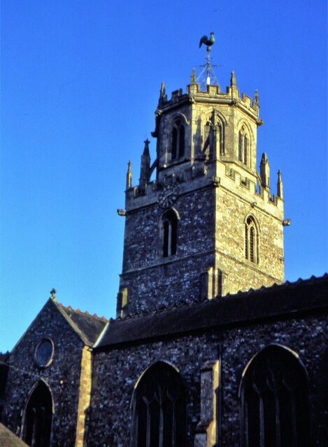
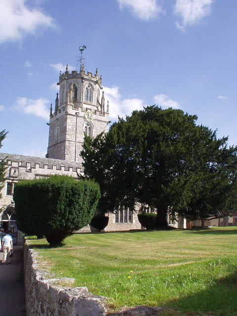
Colyton

Civil Parish in Devon East Devon

England

Colyton

Colyton St Andrew's Lantern Tower in 1980 Good evening sunshine
Colyton St Andrew's Lantern Tower in 1980 Credit: Kevin Waterhouse

The requested URL returned error: 429 Too Many Requests

If you have any feedback on the listing, please let us know in the comments section below.
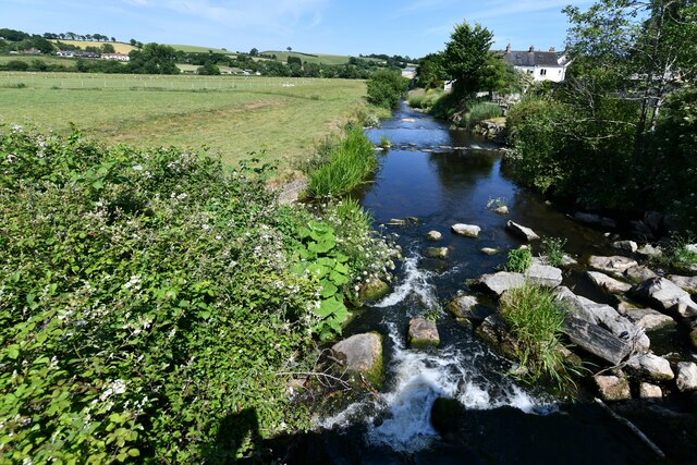
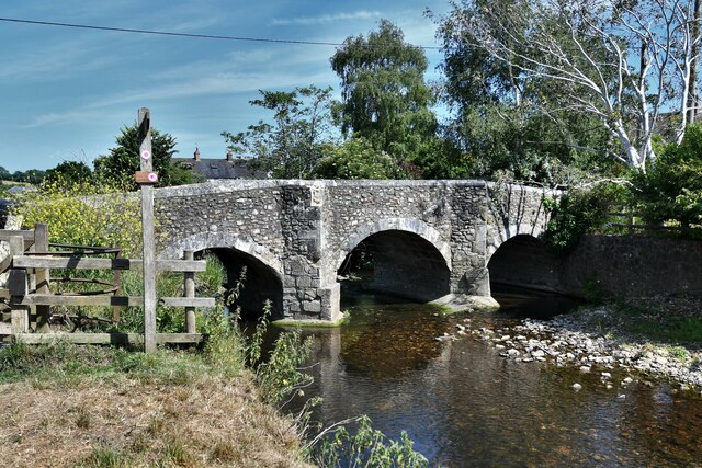
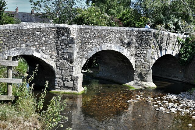
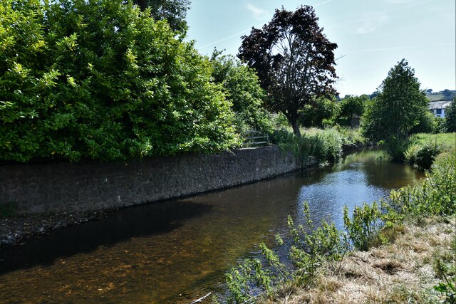
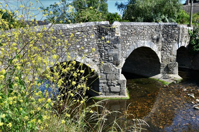
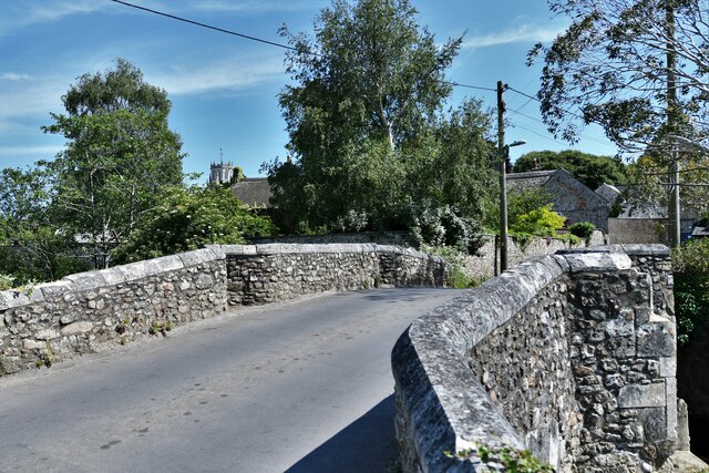
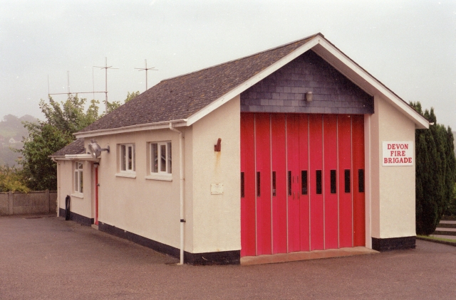
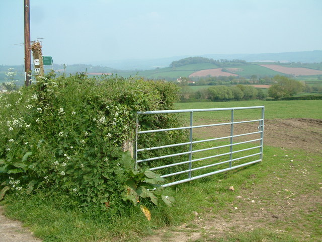
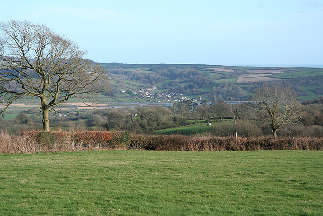
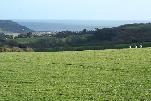
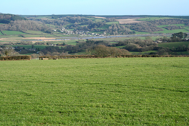
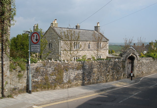
Colyton Images

Images are sourced within 2km of 50.744163/-3.092556 or Grid Reference SY2394. Thanks to Geograph Open Source API. All images are credited.

Colyton St Andrew's Lantern Tower in 1980 Good evening sunshine
Colyton St Andrew's Lantern Tower in 1980
Good evening sunshine
Colyton: The River Coly from the road bridge
Colyton Bridge
Colyton Bridge
Colyton Bridge
Colyton Bridge
Colyton: The River Coly
Colyton Bridge
Colyton Bridge
Colyton Bridge and road
Colyton Fire Station Colyton Fire Station, South Street, Colyton, Devon.
Colyton Fire Station
Colyton Fire Station, South Street, Colyton, Devon.
St Andrew's Church, Colyton The Church of St Andrew dates from Norman times. Its lantern tower is one of only three in the country and was used to guide ships up the River Axe Estuary. The interior of the church is well worth a visit.
St Andrew's Church, Colyton
The Church of St Andrew dates from Norman times. Its lantern tower is one of only three in the country and was used to guide ships up the River Axe Estuary. The interior of the church is well worth a visit.
Downhaye, NW of Colyton, Devon View across farmland and the Axe Valley.
Downhaye, NW of Colyton, Devon
View across farmland and the Axe Valley.
Kissing Gate and Public Footpath This photo was taken by the bridge over the River Col near Road Pitt Farm.
Kissing Gate and Public Footpath
This photo was taken by the bridge over the River Col near Road Pitt Farm.
Colyton: by Greenfield Greenfield is a nearby bungalow on Colyton Hill with a splendid view over the mouth of the Axe. Axmouth can be seen in the distance. In Roman times a branch of the Fosse Way terminated here. It is thought by some that the Axe was once a deep water tidal inlet rather like the Dart. Then the shingle bar formed at its mouth and sealed off much of the river. Over time the Seaton Marshes built up behind the shingle
Colyton: by Greenfield
Greenfield is a nearby bungalow on Colyton Hill with a splendid view over the mouth of the Axe. Axmouth can be seen in the distance. In Roman times a branch of the Fosse Way terminated here. It is thought by some that the Axe was once a deep water tidal inlet rather like the Dart. Then the shingle bar formed at its mouth and sealed off much of the river. Over time the Seaton Marshes built up behind the shingle
Colyton: towards the mouth of the Axe Looking south-south-east towards Seaton Bay and the English Channel from Colyton Hill
Colyton: towards the mouth of the Axe
Looking south-south-east towards Seaton Bay and the English Channel from Colyton Hill
Colyton: on Colyton Hill Looking south east towards Seaton Marshes and Axmouth
Colyton: on Colyton Hill
Looking south east towards Seaton Marshes and Axmouth
Colyton: in the Coly valley Looking north towards Cadhayne
Colyton: in the Coly valley
Looking north towards Cadhayne
Colyton: in the Coly valley Looking north west near Ratshole Gate
Colyton: in the Coly valley
Looking north west near Ratshole Gate
Colyton: stream near Bolshayne A tributary of the Coly seen from Southleigh Road. Looking south-south-west
Colyton: stream near Bolshayne
A tributary of the Coly seen from Southleigh Road. Looking south-south-west
Colyton: towards Jobbleshayes Farm Looking south-south-east from the Southleigh Road. The Forestry Commission’s Morganhayes plantation stands on the hill above.
Colyton: towards Jobbleshayes Farm
Looking south-south-east from the Southleigh Road. The Forestry Commission’s Morganhayes plantation stands on the hill above.
Show me another place!

Colyton is located at Grid Ref: SY2394 (Lat: 50.744163, Lng: -3.092556)

Administrative County: Devon

District: East Devon

Police Authority: Devon & Cornwall

What 3 Words

///wiped.skippers.suspends. Near Colyton, Devon

Nearby Locations

Colyton

Related Wikis

Bolshayne Fen

Bolshayne Fen (grid reference SY222938) is a wetland in southeast Devon, England. It has an area of 1.62 hectares. The site was designated as a Site of...

Great House, Colyton

Great House on South Street in the town of Colyton, Devon, is the remnant of an historic Elizabethan mansion house built by the Yonge family, originally...

Colyton, Devon

Colyton is a town in Devon, England. It is located within the East Devon local authority area, the river River Coly runs through it. It is 3 miles (5 km...

Umborne Brook

Umbourne Brook is a watercourse in Devon, England. In rises south-east of Upottery and runs past the villages of Widworthy and Wilmington then joins the...

Nearby Amenities

Located within 500m of 50.744163,-3.092556
Bicycle: yes
Ford: yes
Horse: yes
Lat/Long: 50.7450025/-3.0952694
The data included in this document is from www.openstreetmap.org. The data is made available under ODbL.

Have you been to Colyton?

Leave your review of Colyton below (or comments, questions and feedback).