Whimsey Park
Downs, Moorland in Nottinghamshire Gedling
England
Whimsey Park
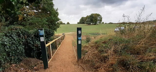
Whimsey Park, located in Nottinghamshire, is a picturesque destination that showcases the natural beauty of the region's downs and moorland. Spanning over a vast area, it offers visitors a serene and tranquil environment to immerse themselves in nature.
The park is renowned for its rolling downs, characterized by their gently sloping hills and lush greenery. These downs provide a perfect setting for long walks, picnics, and outdoor activities. Visitors can indulge in leisurely strolls along the well-maintained paths, enjoying the panoramic views of the surrounding landscape.
Moreover, Whimsey Park is also home to expansive moorland, which adds to its diverse ecosystem. The moorland features an array of heather, gorse, and wildflowers, creating a vibrant tapestry of colors. It serves as a habitat for various species of birds, making it a paradise for birdwatching enthusiasts.
The park boasts excellent facilities for visitors, including picnic areas, seating spots, and well-marked trails. Additionally, there are designated areas for recreational activities such as cycling and horse riding, catering to different interests and preferences.
Whimsey Park is easily accessible, with ample parking available for visitors. Its serene and picturesque environment makes it an ideal destination for those seeking a peaceful retreat amidst nature. Whether it's a family outing, a leisurely walk, or a birdwatching excursion, Whimsey Park offers a captivating experience for all.
If you have any feedback on the listing, please let us know in the comments section below.
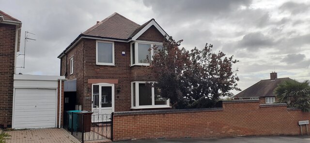
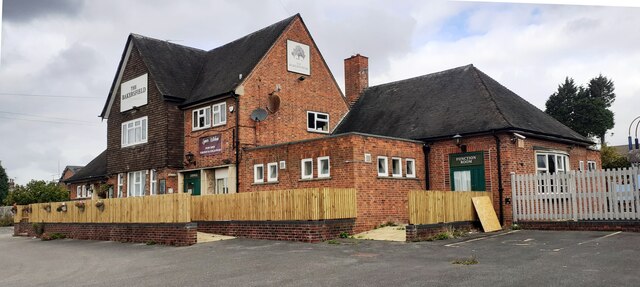
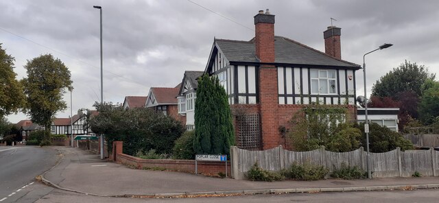
Whimsey Park Images
Images are sourced within 2km of 52.961352/-1.0864759 or Grid Reference SK6140. Thanks to Geograph Open Source API. All images are credited.


Whimsey Park is located at Grid Ref: SK6140 (Lat: 52.961352, Lng: -1.0864759)
Administrative County: Nottinghamshire
District: Gedling
Police Authority: Nottinghamshire
What 3 Words
///wink.shrimp.elaborate. Near Radcliffe on Trent, Nottinghamshire
Nearby Locations
Related Wikis

Netherfield railway station
Netherfield railway station serves the town of Netherfield in the Borough of Gedling in Nottinghamshire, England. It comprises a single island platform...

Colwick
Colwick ( KOL-ik) is a village, civil parish, in the Borough of Gedling in Nottinghamshire, England. It is situated to the east of Nottingham's city boundary...
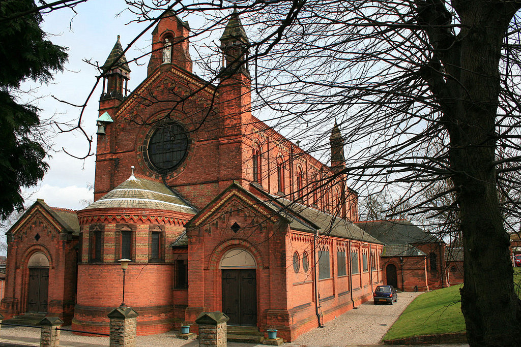
St Paul's Church, Carlton-in-the-Willows
St. Paul's Church, Carlton-in-the-Willows is a parish church in the Church of England in Carlton, Nottinghamshire. It is a Grade II listed building....

Carlton railway station
Carlton railway station serves the suburb of Carlton, Nottinghamshire, England. The station is 3 miles (5 km) east of Nottingham on the Nottingham to Lincoln...

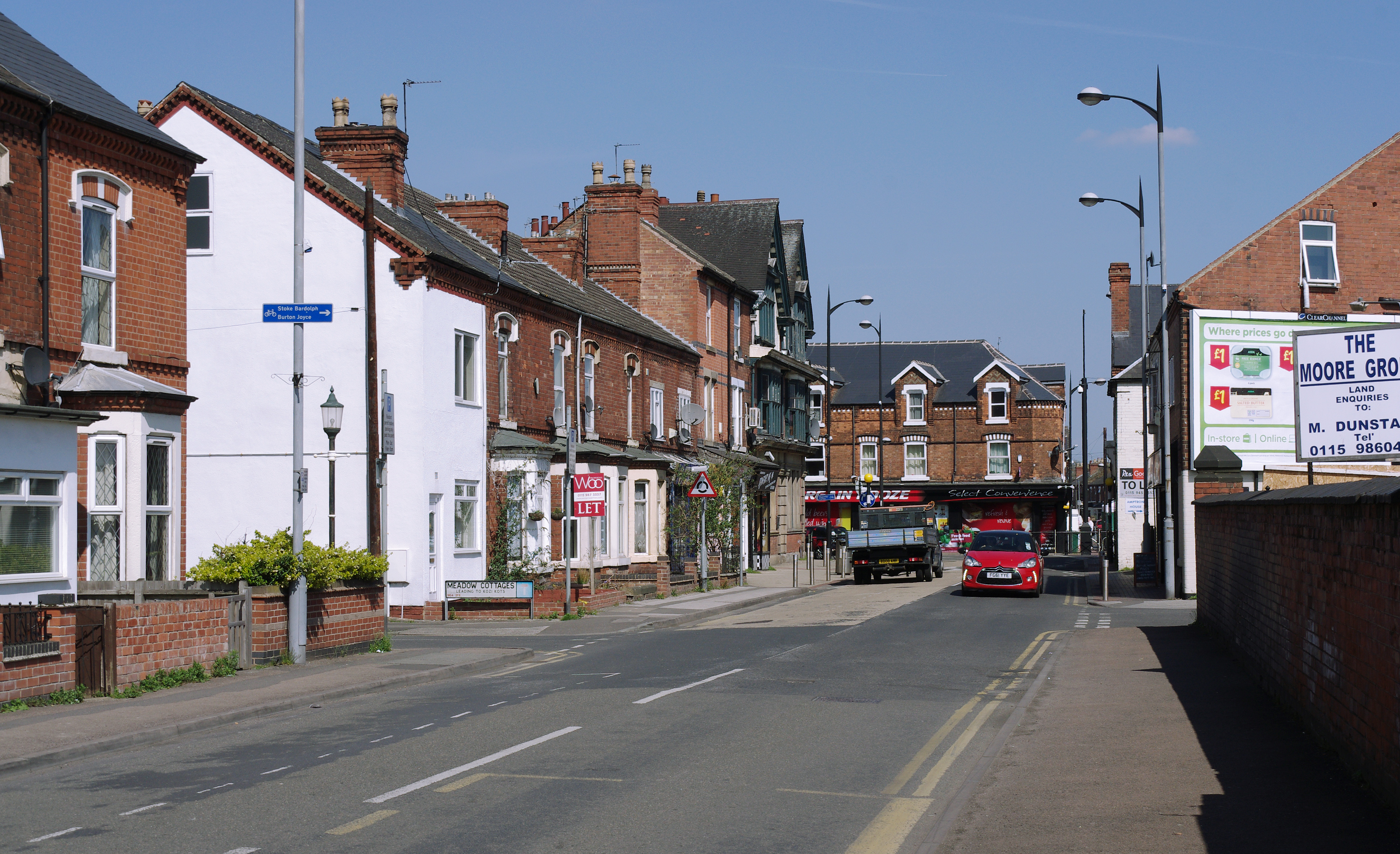
Carlton, Nottinghamshire
Carlton is a town in the Borough of Gedling, Nottinghamshire, England. It is to the east of Nottingham. The population at the 2011 Census was 6,881. It...
Netherfield, Nottinghamshire
Netherfield is a town in the Borough of Gedling in Nottinghamshire, England. It is situated to the east of Nottingham's city boundary and is approximately...

Greenwood Academies Trust
The Greenwood Academies Trust is a large multi-academy trust in England, centred around the Nottingham Academy, which was formerly the Greenwood Dale...
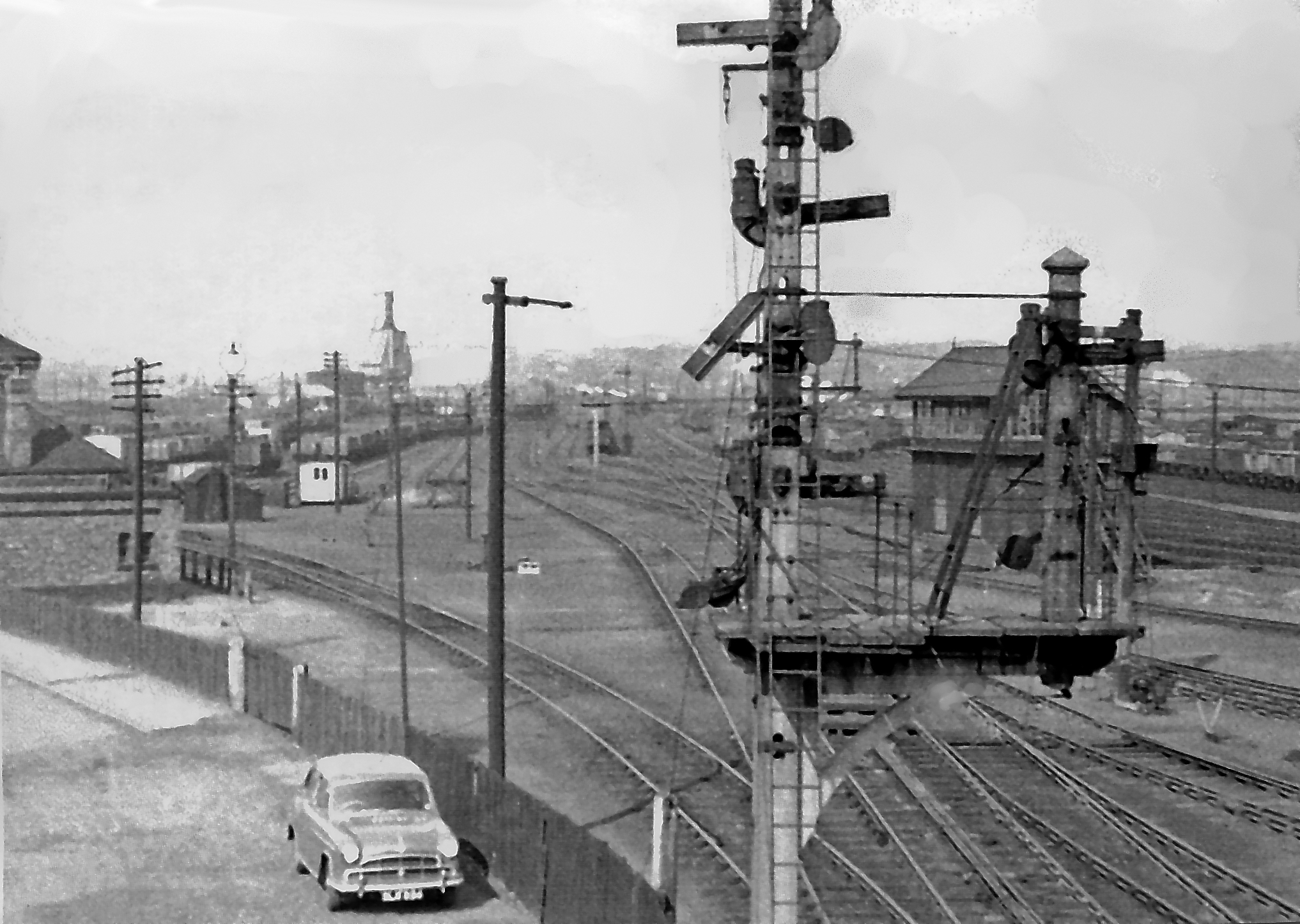
Colwick marshalling yard
Colwick marshalling yard, also known as Colwick sidings, was a large railway marshalling yard in Netherfield, Nottingham designed for the concentration...
Nearby Amenities
Located within 500m of 52.961352,-1.0864759Have you been to Whimsey Park?
Leave your review of Whimsey Park below (or comments, questions and feedback).