Colemore and Priors Dean
Civil Parish in Hampshire East Hampshire
England
Colemore and Priors Dean

Colemore and Priors Dean is a civil parish located in the East Hampshire district of Hampshire, England. The parish is situated in the South Downs National Park, approximately 7 miles east of Alton and covers an area of around 7 square miles.
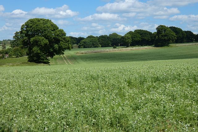
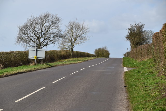
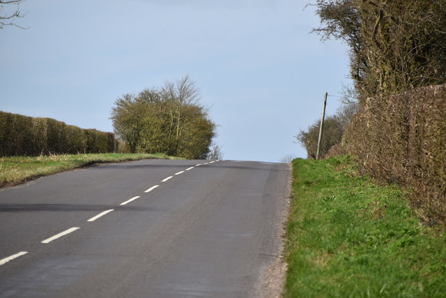
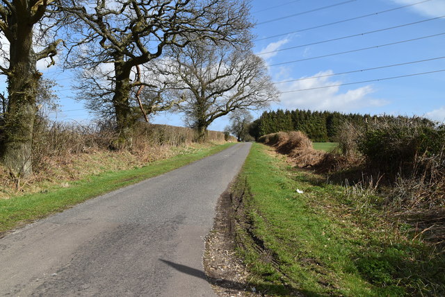
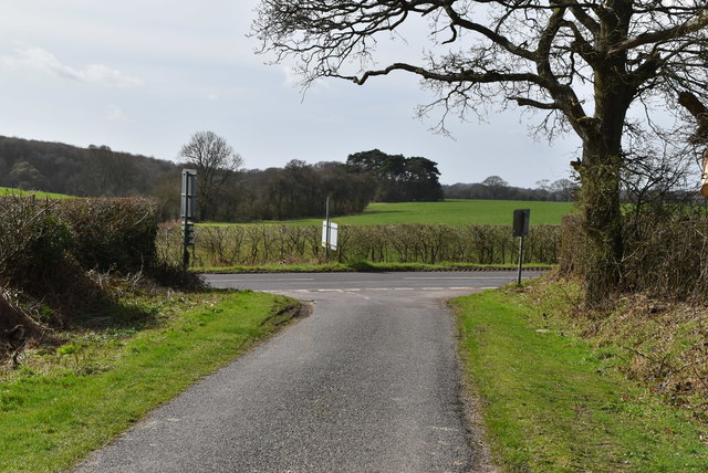
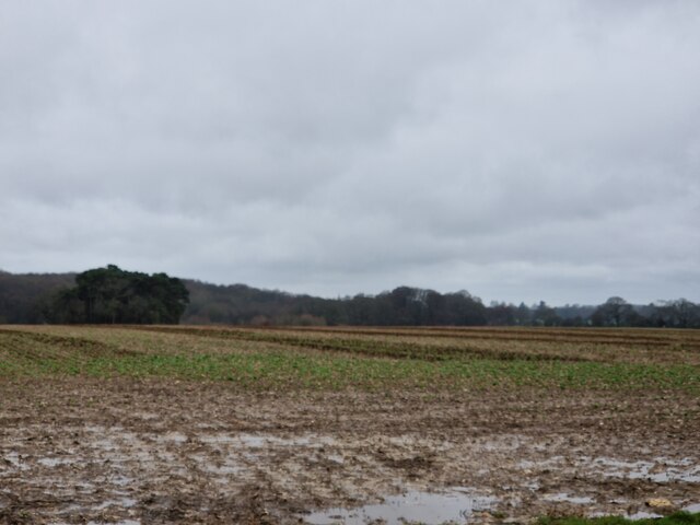
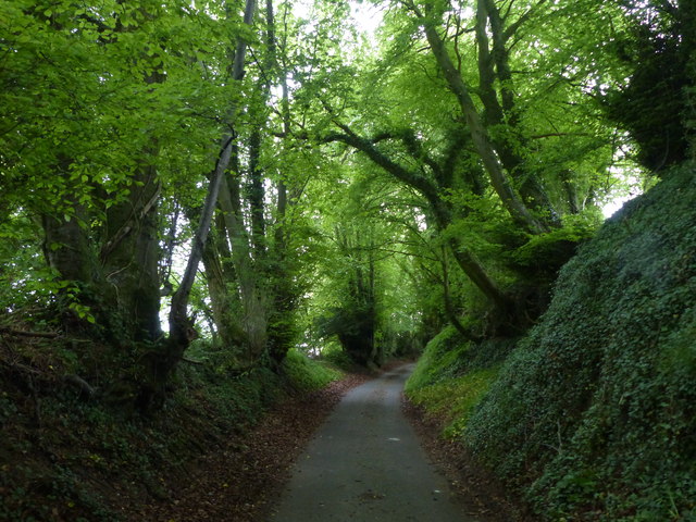
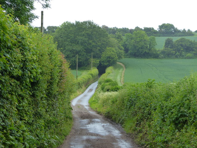
The parish consists of the two villages of Colemore and Priors Dean, as well as several smaller hamlets and scattered farms. It is predominantly a rural area with a charming countryside landscape, characterized by rolling hills, open fields, and wooded areas. The parish is surrounded by picturesque countryside, providing ample opportunities for outdoor activities such as walking, hiking, and cycling.
The villages of Colemore and Priors Dean have a rich history, with evidence of human habitation dating back to the Roman era. The architecture in the area reflects the traditional rural charm, with many historic buildings and thatched cottages still standing. There is also a historic church, St. Peter's Church, in Colemore, which dates back to the 12th century.
In terms of amenities, the parish has a village hall that hosts various community events and gatherings. The nearest amenities such as shops, schools, and healthcare facilities can be found in nearby towns and villages.
Colemore and Priors Dean offer a peaceful and tranquil setting, making it an ideal place for those seeking a rural lifestyle away from the hustle and bustle of city living. It is a popular destination for nature lovers, history enthusiasts, and those looking to explore the beautiful South Downs National Park.
If you have any feedback on the listing, please let us know in the comments section below.
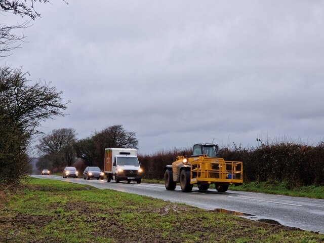
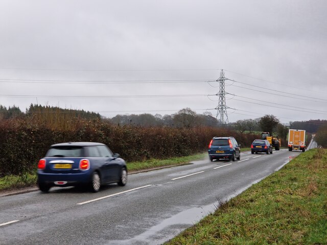
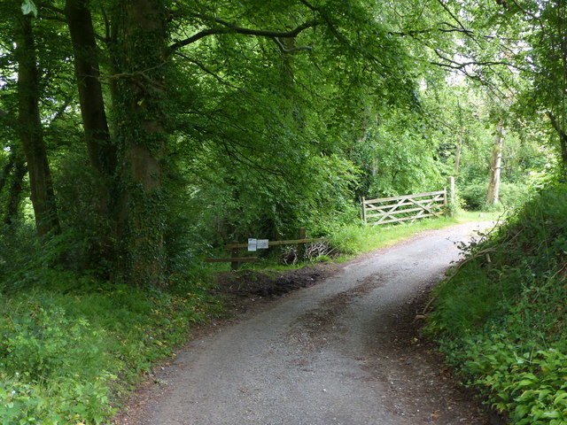
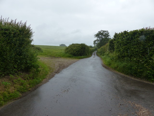
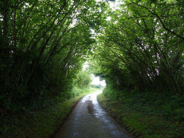
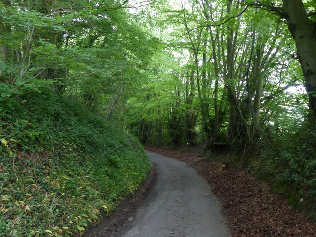
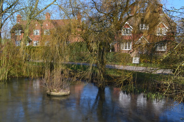
Colemore and Priors Dean Images
Images are sourced within 2km of 51.064288/-0.982693 or Grid Reference SU7129. Thanks to Geograph Open Source API. All images are credited.


Colemore and Priors Dean is located at Grid Ref: SU7129 (Lat: 51.064288, Lng: -0.982693)
Administrative County: Hampshire
District: East Hampshire
Police Authority: Hampshire
What 3 Words
///commuting.pits.pace. Near Liss, Hampshire
Nearby Locations
Related Wikis

Colemore
Colemore is a village and former civil parish, now in the parish of Colemore and Priors Dean, in the East Hampshire district, in the county of Hampshire...
Church of St Peter ad Vincula, Colemore
The Church of St Peter ad Vincula is a redundant Anglican church in the village of Colemore, Hampshire, England. It is recorded in the National Heritage...

Priors Dean
Priors Dean is a hamlet in the Hampshire Downs about 3 miles (5 km) west of Liss and about 4 miles (6.4 km) north of Petersfield, Hampshire, England. It...

Goleigh Hill
Goleigh Hill is one of the highest points in the county of Hampshire, England. It is part of the Hampshire Downs and reaches a height of 220 metres (720...

Hawkley Warren
Hawkley Warren (grid reference SU730284) is a woodland on the northeast-facing Wealden Edge, near the village of Hawkley, three miles north of Petersfield...

Tisted railway station
Tisted was a railway station on the Meon Valley line which served the village of East Tisted. It opened in 1903 and closed in 1955. The main station building...
East Tisted
East Tisted () is a village and civil parish in the East Hampshire district of Hampshire, England. It is 4.8 miles (7.7 km) south of Alton on the A32 road...

Wheatham Hill
At 249 metres (817 ft), Wheatham Hill is one of the highest hills in the county of Hampshire, England. It is part of the North Hampshire Downs. Much of...
Nearby Amenities
Located within 500m of 51.064288,-0.982693Have you been to Colemore and Priors Dean?
Leave your review of Colemore and Priors Dean below (or comments, questions and feedback).