Windmill Copse
Wood, Forest in Hampshire East Hampshire
England
Windmill Copse

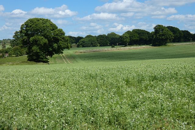
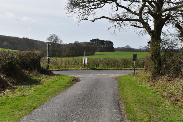
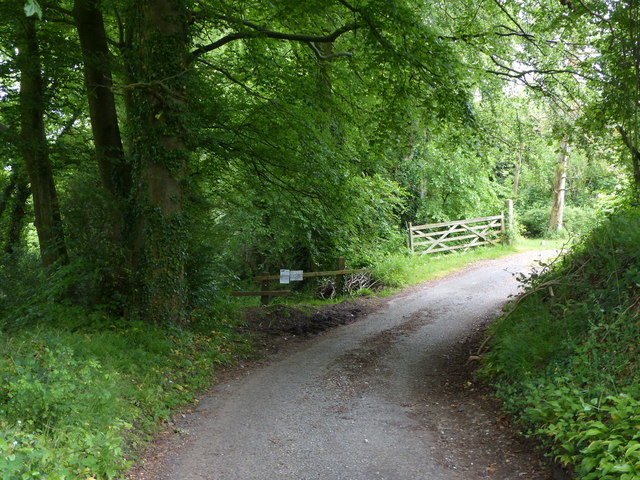
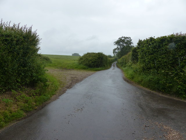
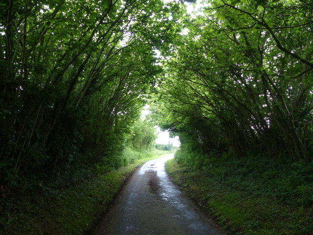
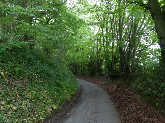
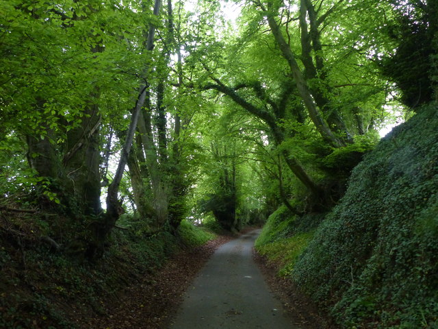
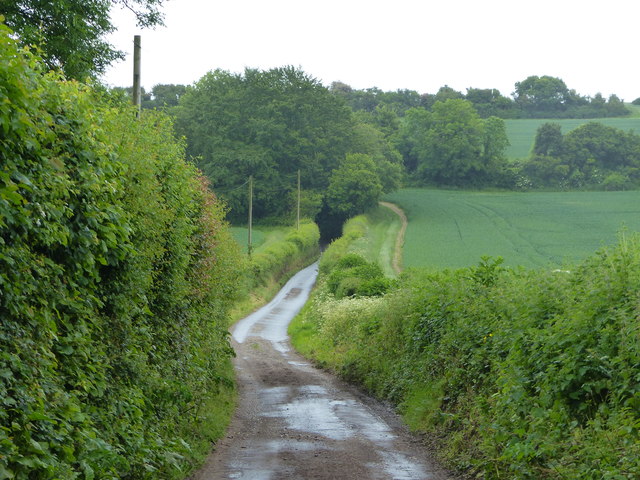
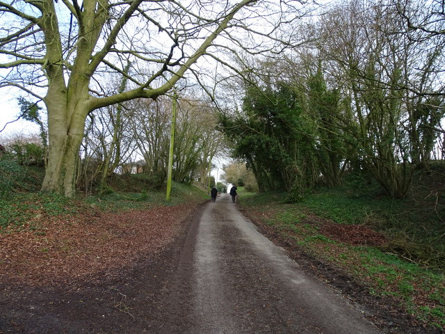
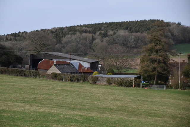
Windmill Copse is a beautiful woodland located in Hampshire, England. Covering an area of approximately 100 acres, it is an enchanting forest that offers a serene escape from the bustling city life. With its diverse range of tree species and abundant wildlife, Windmill Copse is a haven for nature enthusiasts and outdoor lovers.
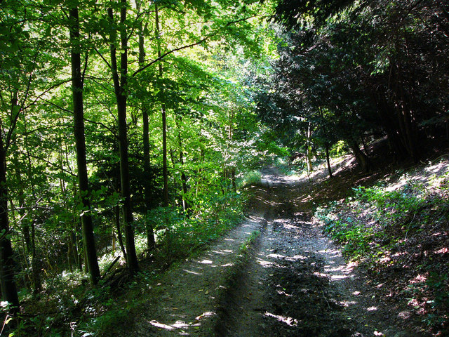
The woodland is predominantly composed of oak, beech, and pine trees, creating a rich and vibrant canopy that provides shade and shelter to the forest floor. Walking along the well-maintained trails, visitors can immerse themselves in the tranquil ambiance and admire the stunning natural beauty that surrounds them.
Wildlife thrives within Windmill Copse, with a variety of birds, mammals, and insects calling this forest home. Birdwatchers can spot woodpeckers, jays, and owls among the treetops, while small mammals like squirrels and rabbits scurry about on the forest floor. In spring, the woodland is adorned with an array of colorful wildflowers, adding a touch of vibrancy to the landscape.
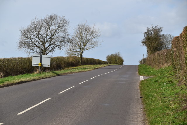
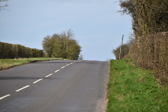
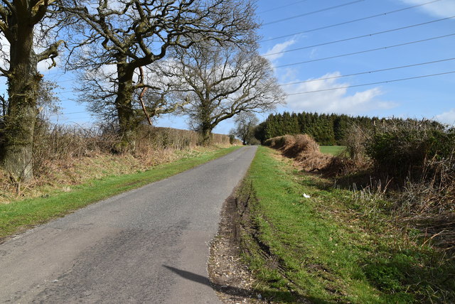
The forest also offers recreational activities, such as hiking, cycling, and picnicking. There are designated picnic areas where visitors can enjoy a leisurely meal amidst the peaceful ambiance. Additionally, the forest is equipped with well-marked trails, making it easy for hikers and cyclists to explore the area.
Windmill Copse is not only a natural sanctuary but also holds historical significance. The remains of an old windmill can be found within the woodland, serving as a reminder of the area's past.
Overall, Windmill Copse in Hampshire is a picturesque and diverse woodland that provides a stunning setting for nature lovers to explore, relax, and connect with the natural world.
If you have any feedback on the listing, please let us know in the comments section below.
Windmill Copse Images
Images are sourced within 2km of 51.060788/-0.97760528 or Grid Reference SU7129. Thanks to Geograph Open Source API. All images are credited.


Windmill Copse is located at Grid Ref: SU7129 (Lat: 51.060788, Lng: -0.97760528)
Administrative County: Hampshire
District: East Hampshire
Police Authority: Hampshire
What 3 Words
///prospers.reserved.burns. Near Liss, Hampshire
Nearby Locations
Related Wikis

Priors Dean
Priors Dean is a hamlet in the Hampshire Downs about 3 miles (5 km) west of Liss and about 4 miles (6.4 km) north of Petersfield, Hampshire, England. It...

Goleigh Hill
Goleigh Hill is one of the highest points in the county of Hampshire, England. It is part of the Hampshire Downs and reaches a height of 220 metres (720...

Colemore
Colemore is a village and former civil parish, now in the parish of Colemore and Priors Dean, in the East Hampshire district, in the county of Hampshire...
Church of St Peter ad Vincula, Colemore
The Church of St Peter ad Vincula is a redundant Anglican church in the village of Colemore, Hampshire, England. It is recorded in the National Heritage...

Hawkley Warren
Hawkley Warren (grid reference SU730284) is a woodland on the northeast-facing Wealden Edge, near the village of Hawkley, three miles north of Petersfield...

Wheatham Hill
At 249 metres (817 ft), Wheatham Hill is one of the highest hills in the county of Hampshire, England. It is part of the North Hampshire Downs. Much of...
Wealden Edge Hangers
Wealden Edge Hangers is a 222.4-hectare (550-acre) biological Site of Special Scientific Interest north of Petersfield in Hampshire. An area of 48 hectares...
Hawkley
Hawkley is a village, ecclesiastical parish and civil parish in the East Hampshire district of Hampshire, England. It is 3.5 miles (5.7 km) north of Petersfield...
Nearby Amenities
Located within 500m of 51.060788,-0.97760528Have you been to Windmill Copse?
Leave your review of Windmill Copse below (or comments, questions and feedback).