Mill Mound
Heritage Site in Hampshire East Hampshire
England
Mill Mound
Mill Mound is a significant heritage site located in the county of Hampshire, England. It is an ancient man-made mound that has historical and archaeological importance. The mound is situated near the village of Millington, close to the River Test.
The Mill Mound is believed to date back to prehistoric times, with evidence suggesting that it was first constructed during the Iron Age. It is thought to have been used as a defensive structure, providing a vantage point for early settlers to observe the surrounding landscape and potentially serve as a lookout or refuge during times of conflict.
The mound stands at an impressive height of approximately 12 meters, with a diameter of around 50 meters. It is constructed from layers of earth and is still remarkably intact despite its age. The design and construction techniques used in its creation are a testament to the engineering skills of the ancient inhabitants of the area.
Today, Mill Mound serves as a popular tourist attraction and is recognized as a protected heritage site. Visitors can explore the mound and learn about its historical significance through informative displays and guided tours. The surrounding area offers picturesque views of the River Test and the beautiful Hampshire countryside.
Mill Mound stands as a testament to the rich history and cultural heritage of Hampshire. Its archaeological importance and well-preserved structure make it a valuable site for historians, archaeologists, and visitors interested in understanding the lives of our ancient ancestors.
If you have any feedback on the listing, please let us know in the comments section below.
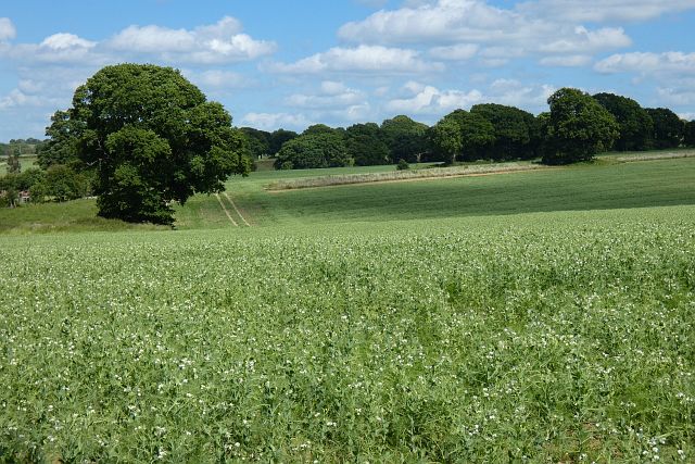
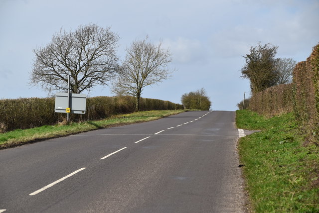
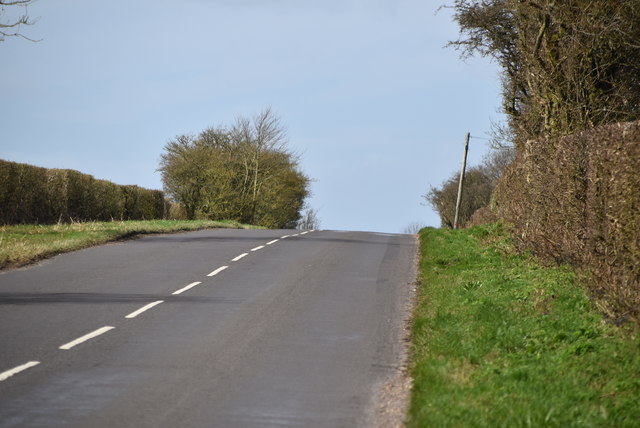
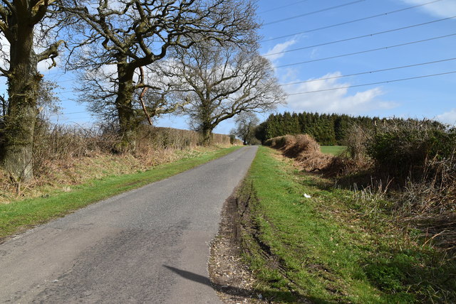
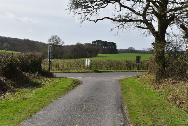
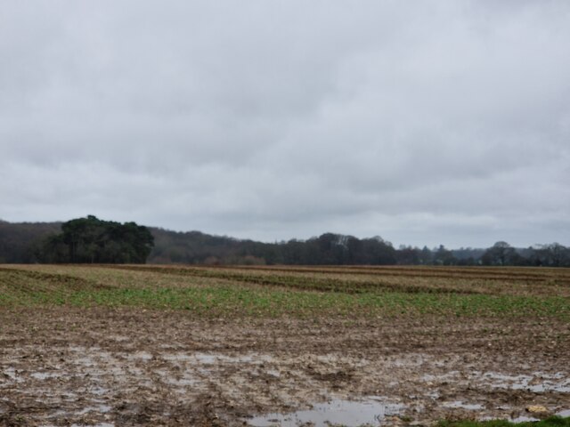
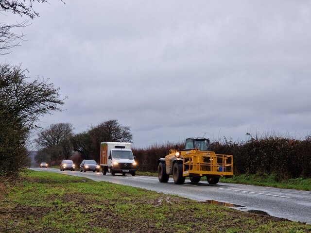
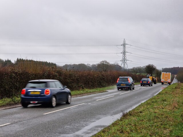
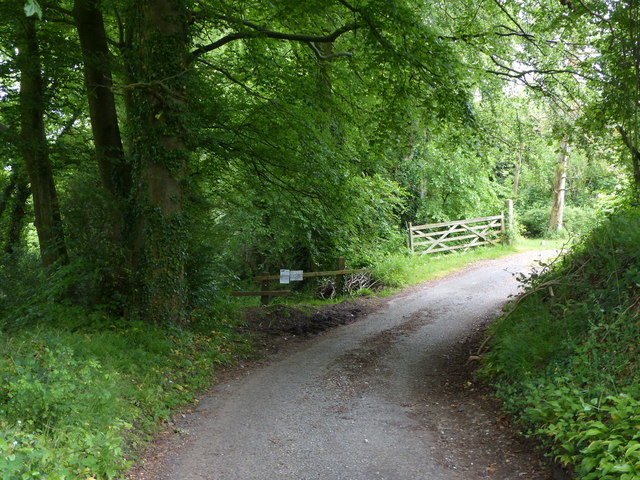
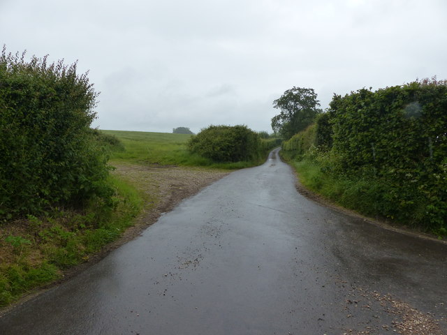
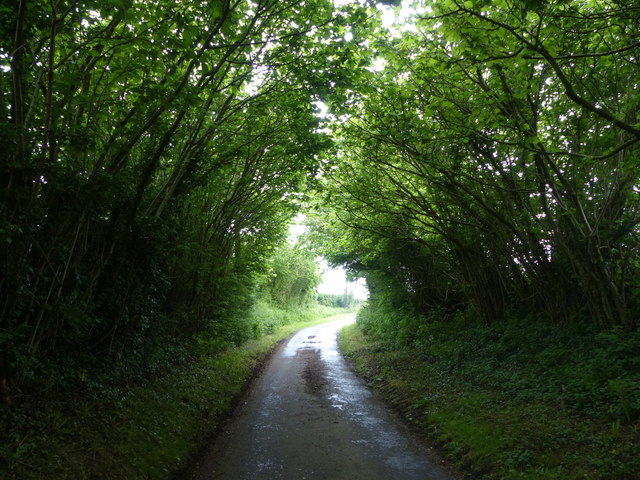
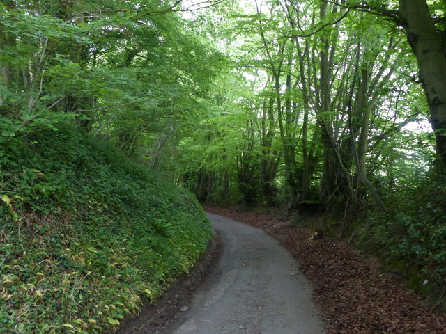
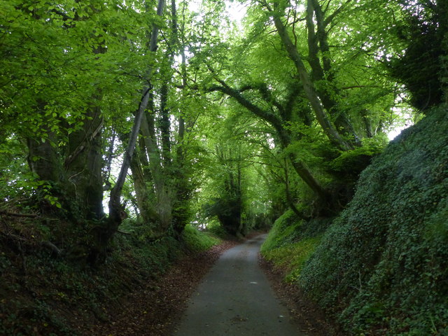
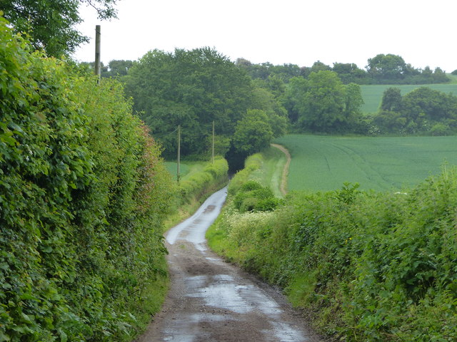
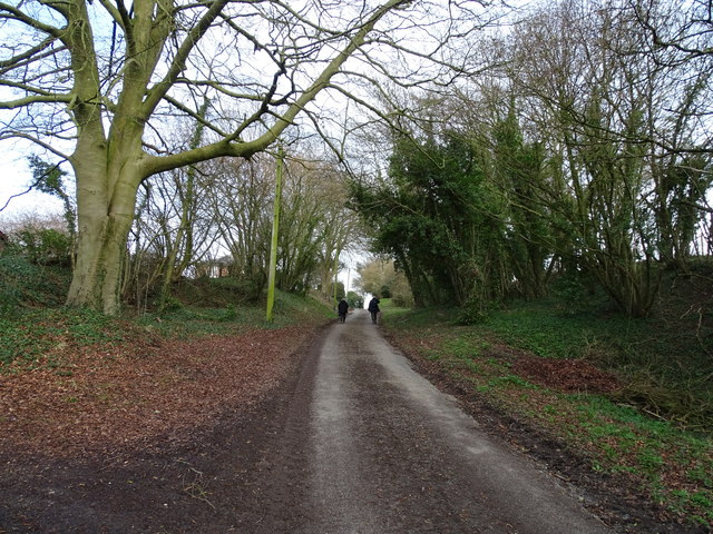
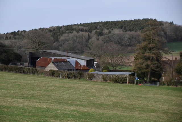
Mill Mound Images
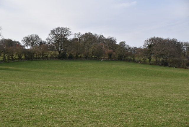
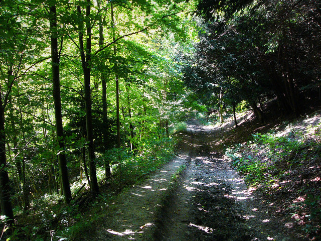
Images are sourced within 2km of 51.06/-0.98 or Grid Reference SU7129. Thanks to Geograph Open Source API. All images are credited.

Mill Mound is located at Grid Ref: SU7129 (Lat: 51.06, Lng: -0.98)
Administrative County: Hampshire
District: East Hampshire
Police Authority: Hampshire
What 3 Words
///reworked.exist.tarnished. Near Liss, Hampshire
Nearby Locations
Related Wikis

Priors Dean
Priors Dean is a hamlet in the Hampshire Downs about 3 miles (5 km) west of Liss and about 4 miles (6.4 km) north of Petersfield, Hampshire, England. It...

Colemore
Colemore is a village and former civil parish, now in the parish of Colemore and Priors Dean, in the East Hampshire district, in the county of Hampshire...
Church of St Peter ad Vincula, Colemore
The Church of St Peter ad Vincula is a redundant Anglican church in the village of Colemore, Hampshire, England. It is recorded in the National Heritage...

Hawkley Warren
Hawkley Warren (grid reference SU730284) is a woodland on the northeast-facing Wealden Edge, near the village of Hawkley, three miles north of Petersfield...

Goleigh Hill
Goleigh Hill is one of the highest points in the county of Hampshire, England. It is part of the Hampshire Downs and reaches a height of 220 metres (720...

Wheatham Hill
At 249 metres (817 ft), Wheatham Hill is one of the highest hills in the county of Hampshire, England. It is part of the North Hampshire Downs. Much of...
Wealden Edge Hangers
Wealden Edge Hangers is a 222.4-hectare (550-acre) biological Site of Special Scientific Interest north of Petersfield in Hampshire. An area of 48 hectares...
High Cross, Hampshire
High Cross is a village in the East Hampshire district of Hampshire, England. It is 2.9 miles (4.6 km) northwest of Petersfield, north of the A272 road...
Nearby Amenities
Located within 500m of 51.06,-0.98Have you been to Mill Mound?
Leave your review of Mill Mound below (or comments, questions and feedback).