Clayton with Frickley
Civil Parish in Yorkshire Doncaster
England
Clayton with Frickley

Clayton with Frickley is a civil parish located in the metropolitan borough of Barnsley, South Yorkshire, England. Situated approximately 7 miles southeast of the town of Barnsley, it covers an area of around 3 square miles.
The parish consists of two villages, Clayton and Frickley, which are separated by a small wooded area. Clayton is the larger of the two villages, with a population of around 1,500 residents. It has a traditional village feel, characterized by its quaint cottages and narrow, winding streets. The village is surrounded by rolling countryside, providing picturesque views and a tranquil atmosphere.
Frickley, on the other hand, is a smaller village with a population of around 500 people. It is located to the east of Clayton, near the River Dearne. The village has a rich mining heritage, with several former collieries in the area. Today, it is a quiet residential area, with a mix of modern housing and older, traditional buildings.
Both villages have a range of amenities, including local shops, pubs, and community centers. The area is well-connected, with good transport links to nearby towns and cities. The M1 motorway is easily accessible, providing convenient access to other parts of Yorkshire and beyond.
Clayton with Frickley is a popular location for those seeking a peaceful, rural lifestyle while still being within reach of urban amenities. The area offers plenty of opportunities for outdoor activities, such as walking, cycling, and birdwatching, making it an attractive destination for nature lovers.
If you have any feedback on the listing, please let us know in the comments section below.
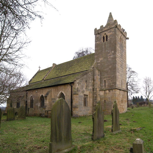
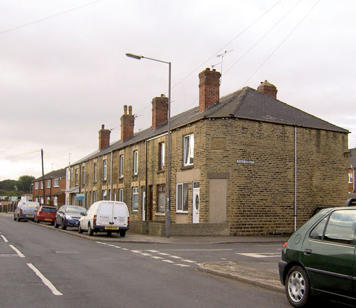
Clayton with Frickley Images
Images are sourced within 2km of 53.567133/-1.316296 or Grid Reference SE4508. Thanks to Geograph Open Source API. All images are credited.


Clayton with Frickley is located at Grid Ref: SE4508 (Lat: 53.567133, Lng: -1.316296)
Division: West Riding
Administrative County: South Yorkshire
District: Doncaster
Police Authority: South Yorkshire
What 3 Words
///messed.grumbles.diner. Near Great Houghton, South Yorkshire
Nearby Locations
Related Wikis
Clayton, South Yorkshire
Clayton is a village in the west of the City of Doncaster, South Yorkshire, England, on the border with West Yorkshire. It lies to the north of Thurnscoe...
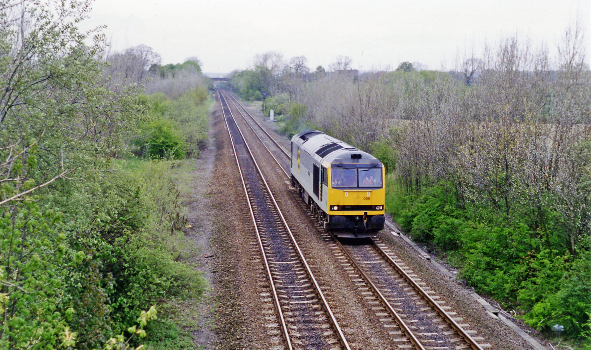
Frickley railway station
Frickley railway station was situated on the Swinton and Knottingley Joint railway, between Bolton-on-Dearne and Moorthorpe. It served the village of Clayton...

Frickley
Frickley is a village in the Metropolitan Borough of Doncaster, South Yorkshire, England in the civil parish of Clayton with Frickley. It lies close to...
Thurnscoe
Thurnscoe is a village in the Metropolitan Borough of Barnsley in South Yorkshire, England. The village falls within the Dearne North ward of the Barnsley...
Nearby Amenities
Located within 500m of 53.567133,-1.316296Have you been to Clayton with Frickley?
Leave your review of Clayton with Frickley below (or comments, questions and feedback).