Clayton-le-Dale
Civil Parish in Lancashire Ribble Valley
England
Clayton-le-Dale
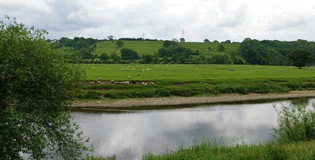
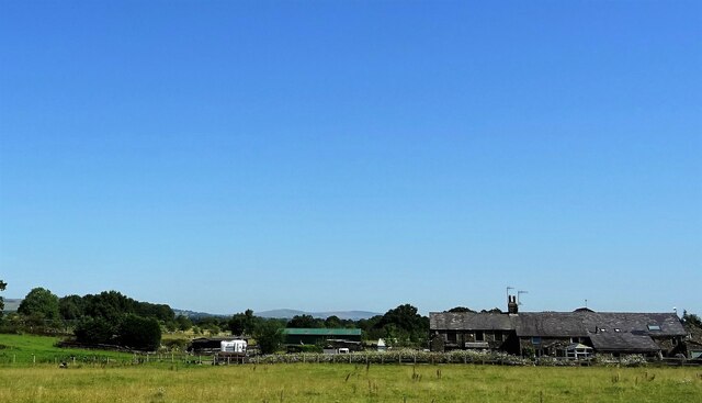
Clayton-le-Dale is a civil parish located in the county of Lancashire, in the northwest region of England. It is situated approximately 2 miles south of the town of Blackburn and covers an area of around 1.5 square miles. The parish is surrounded by picturesque countryside, with the River Ribble flowing nearby.
The village of Clayton-le-Dale is small and has a population of around 800 residents. It is known for its charming rural character and peaceful atmosphere. The parish is predominantly residential, with a mix of traditional stone cottages and more modern housing developments.
The village has a few amenities to serve its residents, including a primary school, a post office, and a village hall. There are also a number of local businesses, such as a convenience store and a pub, providing essential services to the community.
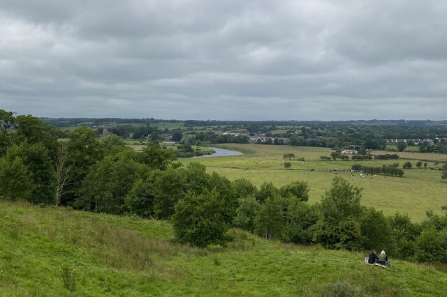
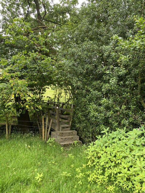
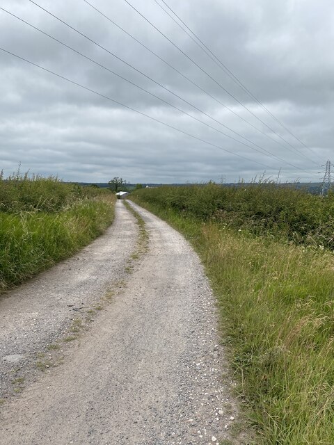
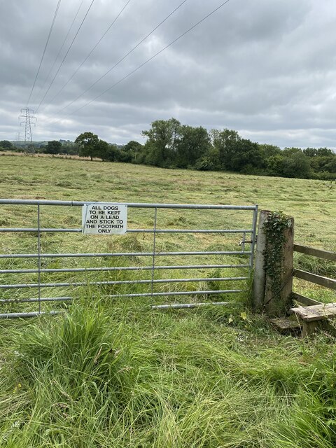
Clayton-le-Dale is surrounded by beautiful natural landscapes, making it a popular destination for outdoor enthusiasts. The nearby Ribble Valley offers opportunities for hiking, cycling, and fishing. Additionally, the village is located close to the Forest of Bowland Area of Outstanding Natural Beauty, which provides stunning scenery and wildlife.
Overall, Clayton-le-Dale is a peaceful and idyllic civil parish that offers a close-knit community and access to stunning natural surroundings. It is a desirable place to live for those seeking a tranquil rural lifestyle within proximity to larger towns and cities.
If you have any feedback on the listing, please let us know in the comments section below.
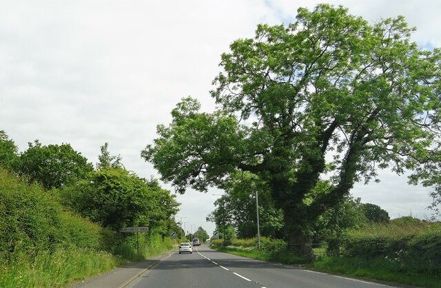
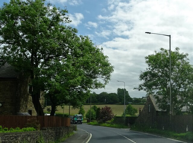
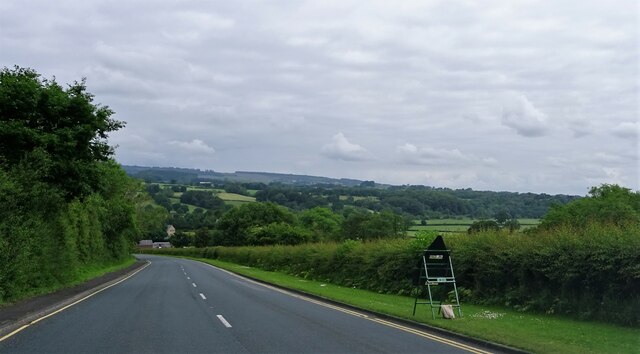
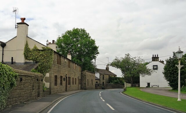
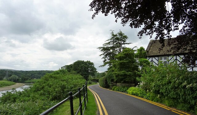
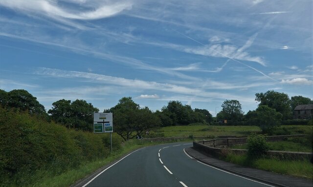
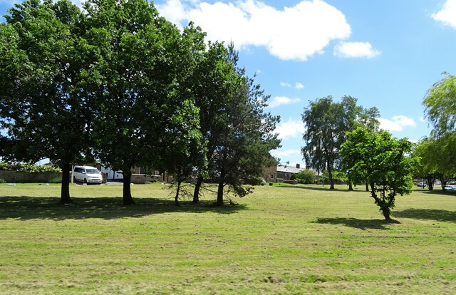
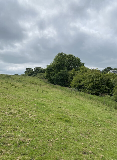
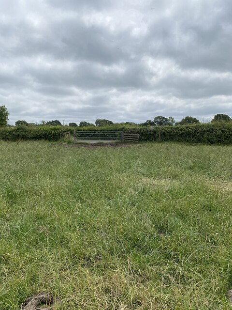
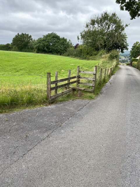
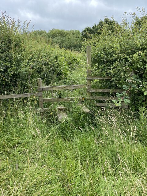
Clayton-le-Dale Images
Images are sourced within 2km of 53.797079/-2.512126 or Grid Reference SD6633. Thanks to Geograph Open Source API. All images are credited.
Clayton-le-Dale is located at Grid Ref: SD6633 (Lat: 53.797079, Lng: -2.512126)
Administrative County: Lancashire
District: Ribble Valley
Police Authority: Lancashire
What 3 Words
///breathy.comments.albums. Near Langho, Lancashire
Nearby Locations
Related Wikis

Clayton-le-Dale
Clayton-le-Dale is a village and civil parish situated on the A59 road near Blackburn, in Lancashire, England. The population of the civil parish as of...

Salesbury
Salesbury is a village and civil parish in Ribble Valley, located centrally in the county of Lancashire, England. The B6245 road runs straight through...

Bremetennacum
Bremetennacum, ([brɛmɛˈteːnːakʊm]), or Bremetennacum Veteranorum, was a Roman fort on the site of the present day village of Ribchester in Lancashire,...

Ribchester Roman Museum
Ribchester Roman Museum (officially the Ribchester Roman Museum of Roman Antiquities) is located in the village of Ribchester, Lancashire, England. It...
Nearby Amenities
Located within 500m of 53.797079,-2.512126Have you been to Clayton-le-Dale?
Leave your review of Clayton-le-Dale below (or comments, questions and feedback).