Chiddingfold

Civil Parish in Surrey Waverley

England

Chiddingfold

Old Milestone, A283, Cripplecrutch Hill, Ramsnest Common The milestone, is located 270 m south of the Mulberry Inn on the North West side of the road in the bushes at the back of the verge. Parish of Chiddingfold (Waverley District).  Carved stone post, Petworth stone design, erected by the Petworth turnpike trust in the 18th century.

Inscription reads:-   HYDE PARK CORNER / 40 MILES / PETWORTH / 7 MILES / GODALMING / 8 MILES / CHIDDINGFOLD / 2 MILES

Milestone Society National ID: SY_LMP40
Old Milestone, A283, Cripplecrutch Hill, Ramsnest Common Credit: George Fitt

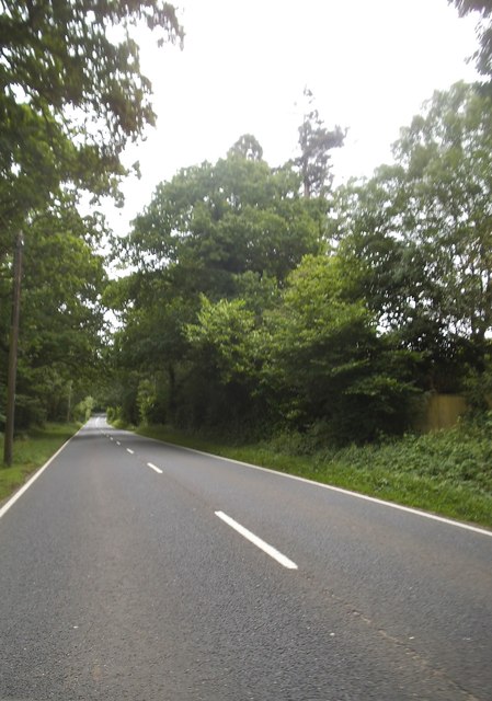
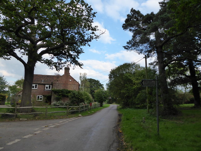
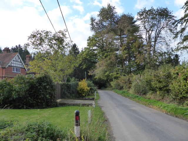
Chiddingfold is a small civil parish located in the county of Surrey, England. Situated in the Weald, a rural area known for its rolling hills and picturesque landscapes, Chiddingfold is often hailed as one of the most beautiful villages in the county.

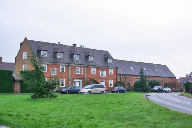
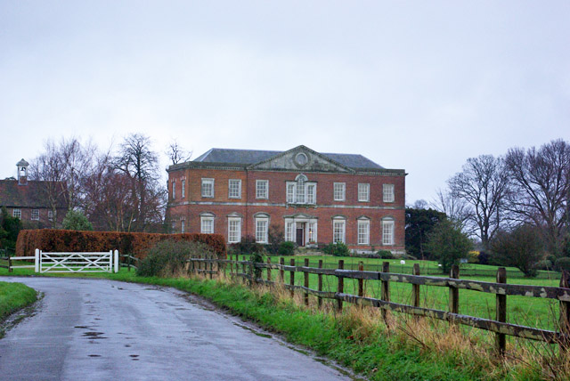
The village itself dates back to the medieval period and has a rich history. It is well-preserved, with many historic buildings and landmarks still standing today. The parish church of St. Mary is a prominent feature of Chiddingfold, with its striking architecture and beautiful stained glass windows.

Chiddingfold is known for its strong sense of community and friendly atmosphere. It has a range of amenities, including a village shop, a post office, and several traditional pubs that serve as gathering places for locals and visitors alike. The village also has a primary school, providing education for the younger residents.

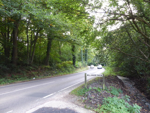
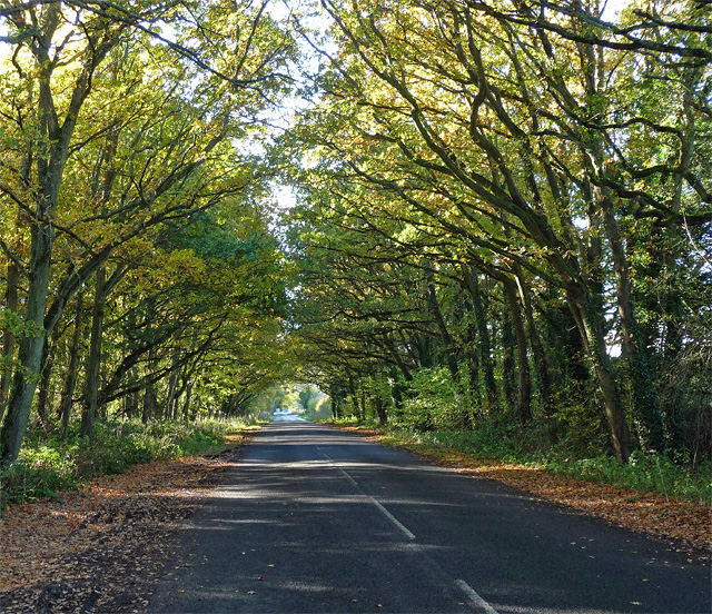
The surrounding countryside offers numerous opportunities for outdoor activities, such as hiking and cycling. The nearby Chiddingfold Forest provides a peaceful retreat for nature lovers, with its woodland trails and diverse wildlife.

Chiddingfold hosts various events throughout the year, including a popular annual music festival and a traditional village fair. These events attract visitors from near and far, contributing to the vibrant and welcoming atmosphere of the village.

Overall, Chiddingfold is a charming and picturesque village that offers a peaceful retreat from the hustle and bustle of city life. Its rich history, beautiful surroundings, and strong sense of community make it a truly special place to live or visit.

If you have any feedback on the listing, please let us know in the comments section below.
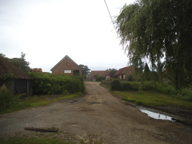
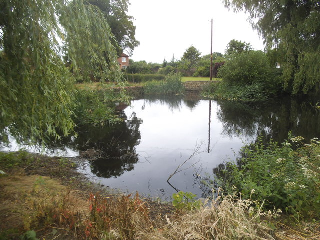
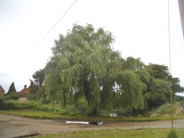
Chiddingfold Images

Images are sourced within 2km of 51.087979/-0.637656 or Grid Reference SU9532. Thanks to Geograph Open Source API. All images are credited.

Old Milestone, A283, Cripplecrutch Hill, Ramsnest Common The milestone, is located 270 m south of the Mulberry Inn on the North West side of the road in the bushes at the back of the verge. Parish of Chiddingfold (Waverley District).  Carved stone post, Petworth stone design, erected by the Petworth turnpike trust in the 18th century.

Inscription reads:-   HYDE PARK CORNER / 40 MILES / PETWORTH / 7 MILES / GODALMING / 8 MILES / CHIDDINGFOLD / 2 MILES

Milestone Society National ID: SY_LMP40
Old Milestone, A283, Cripplecrutch Hill, Ramsnest Common
The milestone, is located 270 m south of the Mulberry Inn on the North West side of the road in the bushes at the back of the verge. Parish of Chiddingfold (Waverley District). Carved stone post, Petworth stone design, erected by the Petworth turnpike trust in the 18th century. Inscription reads:- HYDE PARK CORNER / 40 MILES / PETWORTH / 7 MILES / GODALMING / 8 MILES / CHIDDINGFOLD / 2 MILES Milestone Society National ID: SY_LMP40
Fisherstreet Farm
Fisherstreet Farm
Pond by the A283, Fisherstreet
Willow tree by the A283, Fisherstreet
Cripplecrutch Hill, Ramsnest Common
Where am I? Cripplecrutch Hill, Ramsnest Common
Where am I?
Cripplecrutch Hill, Ramsnest Common
The entrance to Ramster Garden
Petworth Road, Ramsnest Common
A field of ripe flax, near Gospel Green I don't remember having seen flax in Sussex before.   I'm more used to seeing its blue flowers in eastern England - perhaps in the old county of Huntingdonshire, or in Norfolk.  Be that as it may, acres of the ripe seed-heads were a fine sight on this sunny day in late August.
A field of ripe flax, near Gospel Green
I don't remember having seen flax in Sussex before. I'm more used to seeing its blue flowers in eastern England - perhaps in the old county of Huntingdonshire, or in Norfolk. Be that as it may, acres of the ripe seed-heads were a fine sight on this sunny day in late August.
Ripe flax Acres of ripe flax - bringing a distinctive russety colour to the August landscape.
Ripe flax
Acres of ripe flax - bringing a distinctive russety colour to the August landscape.
Exploring eastwards along the Bashire (3) Rush hour in Killinghurst
Running total: 22 B points
Exploring eastwards along the Bashire (3)
Rush hour in Killinghurst Running total: 22 B points
Exploring eastwards  along the Bashire (4) Looking west-northwest along Killinghurst Lane
Running total: 23 B points
Exploring eastwards along the Bashire (4)
Looking west-northwest along Killinghurst Lane Running total: 23 B points
Exploring eastwards along the Bashire (5) Guess where I am on the A283!
Running total: 24 B points
Exploring eastwards along the Bashire (5)
Guess where I am on the A283! Running total: 24 B points
Exploring eastwards along the Bashire (6) Looking from Shillinglee Park Road into Pickhurst Road
Running total: 25 B points
Exploring eastwards along the Bashire (6)
Looking from Shillinglee Park Road into Pickhurst Road Running total: 25 B points
Exploring eastwards along the Bashire (7) Footpath sign opposite Robin Farm Racing Stables
Exploring eastwards along the Bashire (7)
Footpath sign opposite Robin Farm Racing Stables
Shillinglee Road near Fisherstreet Minor road heading for the A283 through a canopy of oaks.
Shillinglee Road near Fisherstreet
Minor road heading for the A283 through a canopy of oaks.
Converted stables and barn, Shillinglee Early 18th century, grade II listed.
Converted stables and barn, Shillinglee
Early 18th century, grade II listed.
House, Shillinglee Park A grade II*(star) listed building from 1735 and 1770s. Gutted by fire 1943, restored and converted to flats in the 1970s.
House, Shillinglee Park
A grade II*(star) listed building from 1735 and 1770s. Gutted by fire 1943, restored and converted to flats in the 1970s.
Show me another place!

Chiddingfold is located at Grid Ref: SU9532 (Lat: 51.087979, Lng: -0.637656)

Administrative County: Surrey

District: Waverley

Police Authority: Surrey

What 3 Words

///models.estuaries.download. Near Chiddingfold, Surrey

Related Wikis

Ramster

Ramster Garden is an open garden, near Chiddingfold, Surrey, covering over 20 acres (81,000 m2). First landscaped and laid out in the 1890s by Gauntlett...

Ramsnest Common

Ramsnest Common is a hamlet in the far south of the Borough of Waverley, the largest district of Surrey, England centred on the A283 1.5 miles (2.4 km...
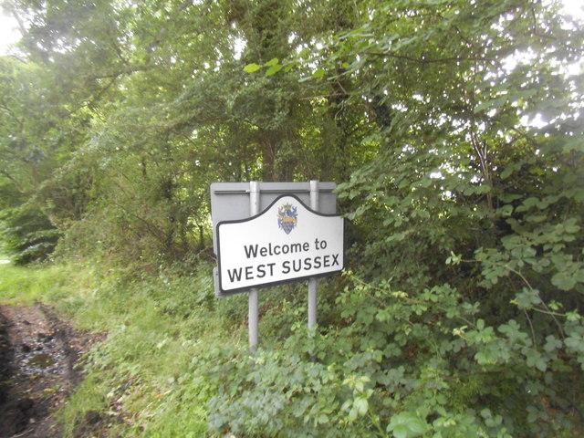
Shillinglee

Shillinglee is an 18th-century house and estate in West Sussex, England near the Surrey border, in between the villages of Chiddingfold and Plaistow. It...

Pickhurst

Pickhurst is a grade II* listed house set in 130 acres (53 ha) of land near Chiddingfold, Surrey, England. == History == It was designed by the Scottish...

Netherside Stream Outcrops

Netherside Stream Outcrops is a 2.9-hectare (7.2-acre) geological Site of Special Scientific Interest north-east of Haslemere in Surrey. It is a Geological...

The Farm (recording studio)

The Farm (also known as Fisher Lane Farm) was a recording studio in Chiddingfold, Surrey owned by the rock band Genesis. The group bought the property...

Shillinglee Lake

Shillinglee Lake is a 17-hectare (42-acre) biological Site of Special Scientific Interest west of Plaistow in West Sussex.The lake has been designated...
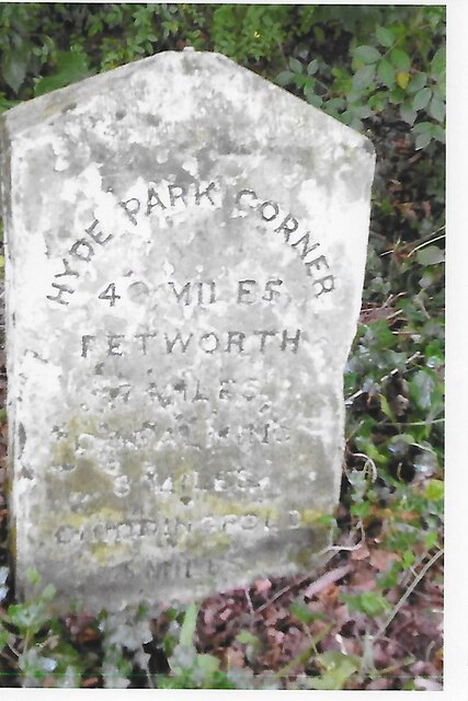
Chiddingfold

Chiddingfold is a village and civil parish in the Weald in the Waverley district of Surrey, England. It lies on the A283 road between Milford and Petworth...

Nearby Amenities

Located within 500m of 51.087979,-0.637656
Ramsnest Common
Place: village
Source: npe
Wikidata: Q9303915
Lat/Long: 51.0890647/-0.6438662
Barrier: stile
Lat/Long: 51.0859493/-0.6429362
Barrier: stile
Lat/Long: 51.0875167/-0.6431601
Barrier: stile
Lat/Long: 51.0884444/-0.6309189
Barrier: stile
Lat/Long: 51.0889983/-0.6357053
Source: survey
Stile: stepover
Lat/Long: 51.0850093/-0.6393939
Barrier: entrance
Old Barrier: stile
Source: survey
Lat/Long: 51.0839946/-0.6381302
Barrier: cattle_grid
Lat/Long: 51.087778/-0.6430936
Barrier: stile
Lat/Long: 51.0907075/-0.6358734
Barrier: stile
Lat/Long: 51.0907075/-0.6358734
The data included in this document is from www.openstreetmap.org. The data is made available under ODbL.

Have you been to Chiddingfold?

Leave your review of Chiddingfold below (or comments, questions and feedback).