Cheadle

Civil Parish in Staffordshire Staffordshire Moorlands

England

Cheadle

JCB Earthmovers factory off Leek Road just north of Cheadle. <span class="nowrap"><a title="http://www.jcb.com" rel="nofollow ugc noopener" href="http://www.jcb.com">Link</a><img style="margin-left:2px;" alt="External link" title="External link - shift click to open in new window" src="https://s1.geograph.org.uk/img/external.png" width="10" height="10"/></span>
JCB Earthmovers Credit: Roger W Haworth

Cheadle is a civil parish located in Staffordshire, England. It is situated approximately 11 miles east of Stoke-on-Trent and 35 miles north of Birmingham. The parish covers an area of around 4.5 square miles and has a population of approximately 6,000 residents.

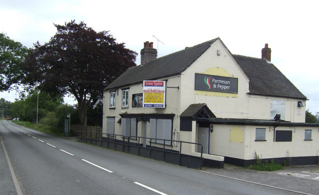
Cheadle is known for its historical architecture, including the Grade I listed St. Giles' Church, which dates back to the 12th century. The town also features a variety of shops, restaurants, and pubs, providing residents with a range of amenities.

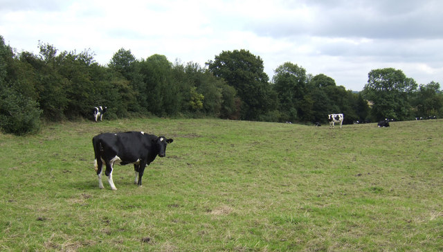
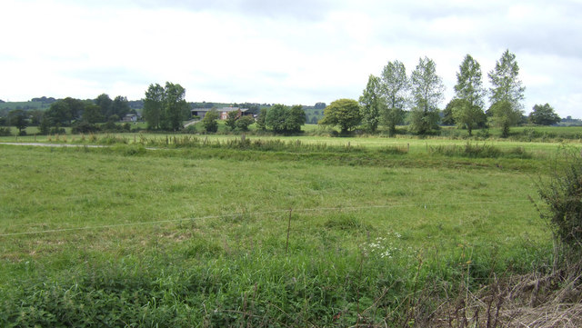
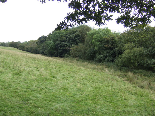
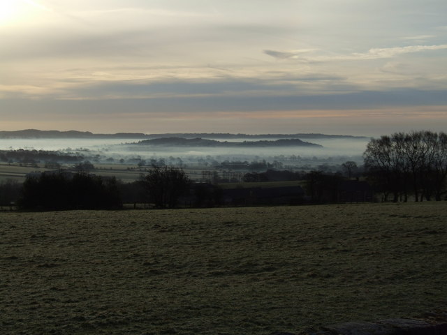
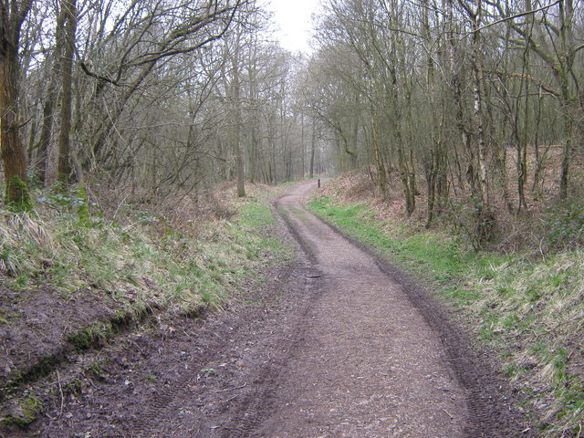
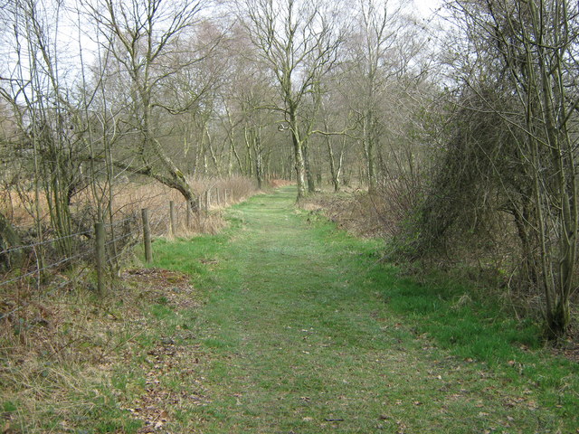
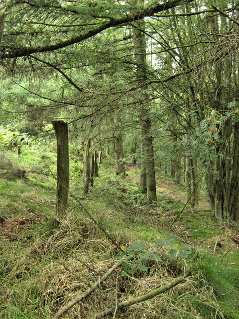
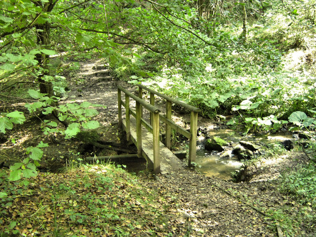
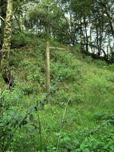
The area is surrounded by picturesque countryside, offering opportunities for outdoor activities such as walking, cycling, and fishing. The nearby Alton Towers theme park is a popular attraction for both locals and visitors.

Cheadle has a strong sense of community, with a number of local clubs and organizations providing opportunities for residents to socialize and get involved in the community. The town also has a primary school and secondary school, as well as good transport links to nearby towns and cities.

If you have any feedback on the listing, please let us know in the comments section below.
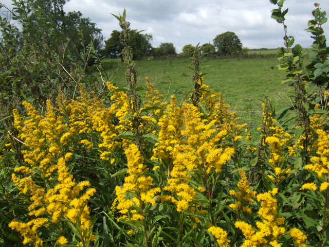
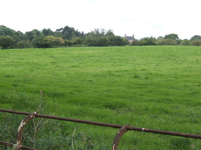
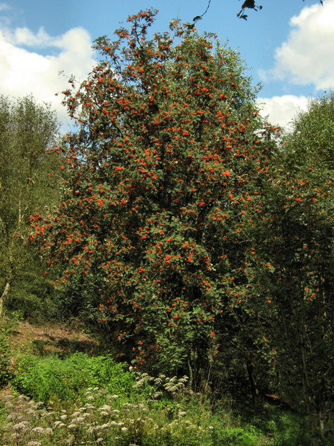
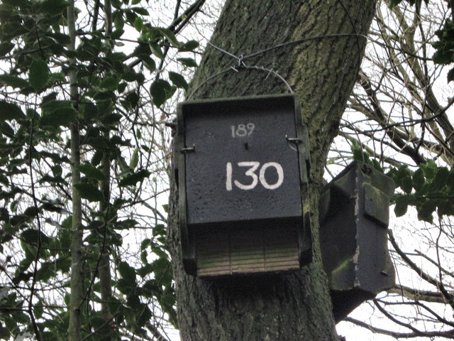
Cheadle Images

Images are sourced within 2km of 53.013222/-2.002978 or Grid Reference SJ9946. Thanks to Geograph Open Source API. All images are credited.

JCB Earthmovers factory off Leek Road just north of Cheadle. <span class="nowrap"><a title="http://www.jcb.com" rel="nofollow ugc noopener" href="http://www.jcb.com">Link</a><img style="margin-left:2px;" alt="External link" title="External link - shift click to open in new window" src="https://s1.geograph.org.uk/img/external.png" width="10" height="10"/></span>
JCB Earthmovers
factory off Leek Road just north of Cheadle. LinkExternal link
Sheepfold Car Park, Consall Nature Park
Kingsley Moor Farm
Kingsley Moor Farm
Willow Grange Farm
Willow Grange Farm
Solidago in the hedgerow I need no excuses for a picture of naturalised Golden Rod by Clamgoose Lane near Little Harewood Farm.
Solidago in the hedgerow
I need no excuses for a picture of naturalised Golden Rod by Clamgoose Lane near Little Harewood Farm.
View north from near Parkford Farm I've left the metal stock railing in the shot to give the depth of view towards the house by the A522. Very rich grassland abounds this corner of Staffordshire.
View north from near Parkford Farm
I've left the metal stock railing in the shot to give the depth of view towards the house by the A522. Very rich grassland abounds this corner of Staffordshire.
Staffordshire dairy land View east of Bate Lane near Greenhead.
Staffordshire dairy land
View east of Bate Lane near Greenhead.
The ex-Wagon and Horses This pub by the A52 at Greenhead may have been taken over by a restaurant business "Parmesan and Pepper" based in Chorley, Lancashire.
The ex-Wagon and Horses
This pub by the A52 at Greenhead may have been taken over by a restaurant business "Parmesan and Pepper" based in Chorley, Lancashire.
View west of Bate Lane Towards Hatchley, just discernible in the centre left.
View west of Bate Lane
Towards Hatchley, just discernible in the centre left.
South of Little Broadoak Farm The stream flowing through these trees joins the Churnet which joins the Dove and thence joins the Trent to flow into the North Sea via the Humber. Yet only 30 miles to the north-west is the Mersey estuary.
South of Little Broadoak Farm
The stream flowing through these trees joins the Churnet which joins the Dove and thence joins the Trent to flow into the North Sea via the Humber. Yet only 30 miles to the north-west is the Mersey estuary.
Temperature Inversion near Cheadle, Staffs. Taken from near Bank Top, on the Dilhorne lane, this shows the lower lying ground shrouded in mist after a late Winter temperature inversion.  Cheadle lies behind the small hill in the middle distance and Threapwood is on the skyline.
Temperature Inversion near Cheadle, Staffs.
Taken from near Bank Top, on the Dilhorne lane, this shows the lower lying ground shrouded in mist after a late Winter temperature inversion. Cheadle lies behind the small hill in the middle distance and Threapwood is on the skyline.
Track in Lower Lady Park Wood, Consall Nature Park
Track in Upper Lady Park Woods, Consall Nature Park
Old Fence Line This fence, near the top of Far Kingsley Banks, would originally have marked the edge of the Larch plantation on the right of the picture.
Old Fence Line
This fence, near the top of Far Kingsley Banks, would originally have marked the edge of the Larch plantation on the right of the picture.
Footbridge over stream This nicely crafted footbridge is one of several that cross the streams in Consall Nature Park
Footbridge over stream
This nicely crafted footbridge is one of several that cross the streams in Consall Nature Park
Old footpath sign Although a majority of the footpath and information signs in Consall Nature Park have been replaced with posh new ones, this rather dilapidated one seems to have been missed.
Old footpath sign
Although a majority of the footpath and information signs in Consall Nature Park have been replaced with posh new ones, this rather dilapidated one seems to have been missed.
Rowan berries This Rowan or Mountain Ash (Sorbus aucuparia) and its berries, makes a lovely splash of red against the green background.
Rowan berries
This Rowan or Mountain Ash (Sorbus aucuparia) and its berries, makes a lovely splash of red against the green background.
Bat box There are a lot of these bat boxes located around Consall Woods Nature Park, they are provided to give shelter to hibernating bats during the winter months. The entry to the box is from below with the bats using the slots cut into the wood to climb inside and hang from the top, the number is unique to this box and its location will be recorded. Given that all bats are protected by law, a licence is required before handling them. To find out more visit the Bat Conservation Trust website at: <span class="nowrap"><a title="http://www.bats.org.uk/pages/facts_and_figures.html" rel="nofollow ugc noopener" href="http://www.bats.org.uk/pages/facts_and_figures.html">Link</a><img style="margin-left:2px;" alt="External link" title="External link - shift click to open in new window" src="https://s1.geograph.org.uk/img/external.png" width="10" height="10"/></span>
Bat box
There are a lot of these bat boxes located around Consall Woods Nature Park, they are provided to give shelter to hibernating bats during the winter months. The entry to the box is from below with the bats using the slots cut into the wood to climb inside and hang from the top, the number is unique to this box and its location will be recorded. Given that all bats are protected by law, a licence is required before handling them. To find out more visit the Bat Conservation Trust website at: LinkExternal link
Show me another place!

Cheadle is located at Grid Ref: SJ9946 (Lat: 53.013222, Lng: -2.002978)

Administrative County: Staffordshire

District: Staffordshire Moorlands

Police Authority: Staffordshire

What 3 Words

///daily.grazes.epidemics. Near Cheadle, Staffordshire

Related Wikis

Kingsley, Staffordshire

Kingsley is a small village in the Staffordshire Moorlands near to Cheadle, and situated on the A52 from Stoke on Trent to Ashbourne. The civil parish...
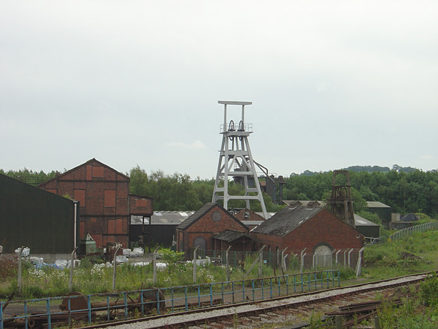
Cheadle Coalfield

The Cheadle Coalfield is a coalfield in the United Kingdom. Centred on the town of Cheadle, Staffordshire and its outlying villages it lies to the east...

Cheadle Rural District

Cheadle Rural District was a rural district in the administrative county of Staffordshire, England from 1894 to 1974, covering an area in the north of...

Froghall

Froghall is a village situated approximately ten miles to the east of Stoke-on-Trent and two miles north of Cheadle in Staffordshire, England. Population...

Nearby Amenities

Located within 500m of 53.013222,-2.002978
Power: pole
Lat/Long: 53.0117882/-2.0092616
Power: pole
Lat/Long: 53.0114445/-2.0081189
Power: pole
Lat/Long: 53.0110814/-2.0066169
Power: pole
Lat/Long: 53.0107796/-2.0052329
Power: pole
Lat/Long: 53.0104972/-2.0040232
Power: pole
Lat/Long: 53.009955/-2.001636
Power: pole
Lat/Long: 53.0096257/-1.9999784
The data included in this document is from www.openstreetmap.org. The data is made available under ODbL.

Have you been to Cheadle?

Leave your review of Cheadle below (or comments, questions and feedback).