Chearsley
Civil Parish in Buckinghamshire
England
Chearsley

Chearsley is a civil parish located in the county of Buckinghamshire, England. It is situated approximately 4 miles northwest of the town of Aylesbury. The village is set in a rural landscape surrounded by picturesque countryside.
Chearsley is a small and close-knit community with a population of around 700 residents. The village has a rich history dating back to the Domesday Book, and it still retains its traditional charm with many period buildings and thatched cottages. The parish church, dedicated to St Nicholas, is a prominent feature of the village and dates back to the 13th century.
The village has a primary school, which serves the local children, and there is also a village hall that hosts various community events and activities. Chearsley has a friendly and active community, with residents organizing regular events such as the village fete and quiz nights.
Although primarily residential, Chearsley is conveniently located near larger towns such as Aylesbury and Thame, providing its residents with access to a range of amenities including shops, supermarkets, and leisure facilities. The village is also well-connected with good transport links, making it an ideal location for commuters.
Overall, Chearsley offers a peaceful and idyllic setting for its residents, with its beautiful countryside, historic buildings, and strong sense of community spirit.
If you have any feedback on the listing, please let us know in the comments section below.
Chearsley Images
Images are sourced within 2km of 51.792066/-0.96569 or Grid Reference SP7110. Thanks to Geograph Open Source API. All images are credited.


Chearsley is located at Grid Ref: SP7110 (Lat: 51.792066, Lng: -0.96569)
Unitary Authority: Buckinghamshire
Police Authority: Thames Valley
What 3 Words
///quickly.dads.timer. Near Long Crendon, Buckinghamshire
Related Wikis

Chearsley
Chearsley is a village and civil parish within the Buckinghamshire district in the ceremonial county of Buckinghamshire, England. It is situated about...
Dad Brook
Dad Brook is a minor, 3.23 km (2.01 mi) long river in Buckinghamshire, England that is a tributary to the River Thame.Located completely within the Aylesbury...
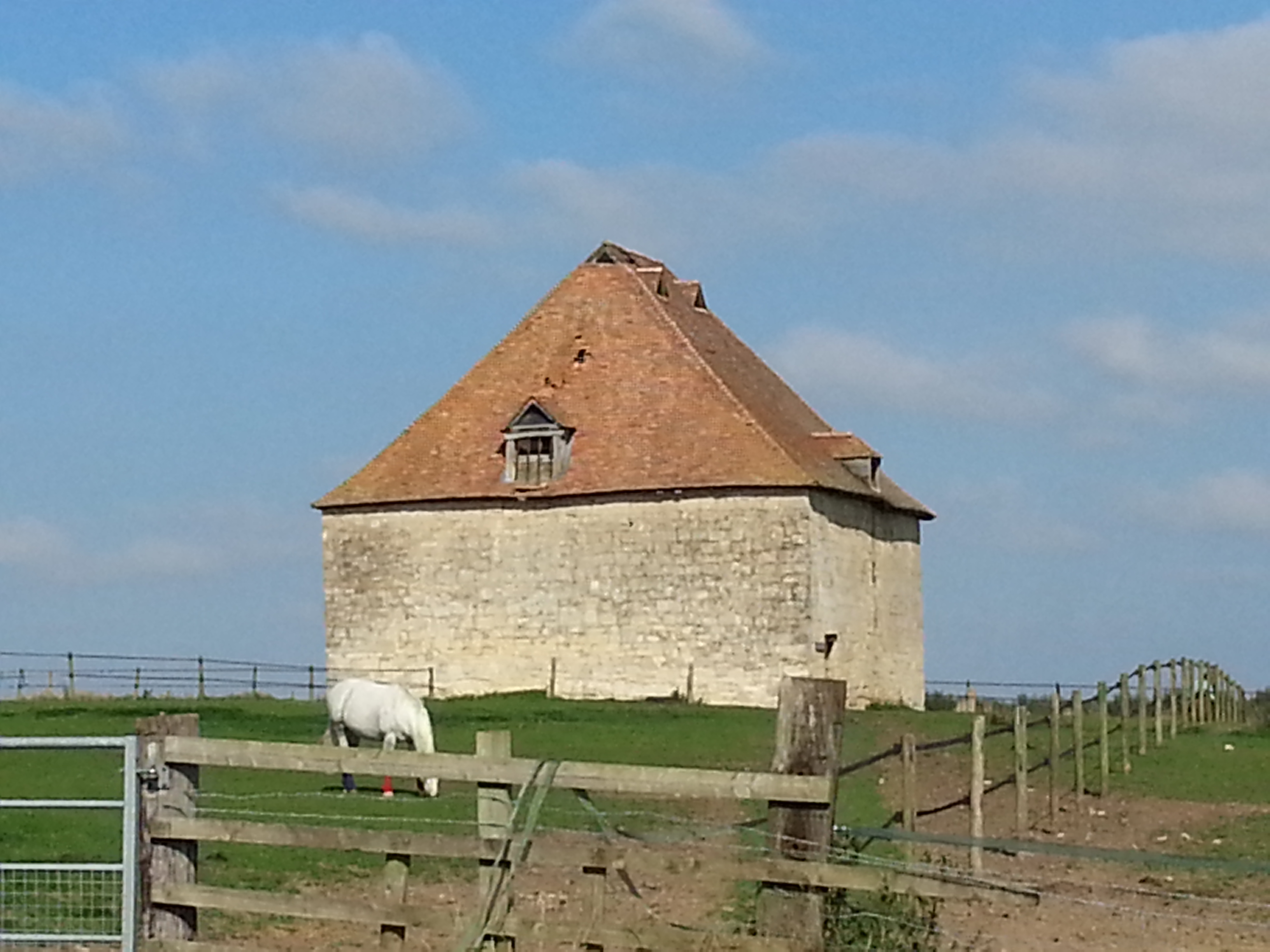
Notley Farm dovecote
The Notley Farm dovecote is a Grade I listed dovecote in Long Crendon in the county of Buckinghamshire, England. Though the dovecote has been attributed...

XT Brewing Company
The XT Brewing Company is a microbrewery based in Long Crendon, Buckinghamshire, England. == History == The brewery was founded in 2011 by Russell Taylor...
Nearby Amenities
Located within 500m of 51.792066,-0.96569Have you been to Chearsley?
Leave your review of Chearsley below (or comments, questions and feedback).