Chart Sutton
Civil Parish in Kent Maidstone
England
Chart Sutton

Chart Sutton is a civil parish located in the county of Kent, in southeastern England. It is situated approximately 5 miles southwest of the town of Maidstone. The parish covers an area of about 3.5 square miles and is home to a population of around 1,500 residents.
The village of Chart Sutton is characterized by its traditional English countryside charm, with picturesque landscapes and a tranquil atmosphere. It is surrounded by beautiful farmland and green fields, providing a serene and idyllic setting for its residents.
The village itself boasts a number of historic buildings, including the Grade I listed All Saints Church, which dates back to the 13th century and is known for its stunning stained glass windows. There are also several other listed buildings in the area, adding to the village's rich history and architectural heritage.
Chart Sutton offers a range of amenities and facilities for its residents, including a primary school, a village hall, and a local pub. The village is well-connected to nearby towns and cities, with good transport links and easy access to the M20 motorway.
The surrounding area offers plenty of opportunities for outdoor activities, with numerous walking and cycling routes to explore. The nearby countryside provides ample space for recreational activities and enjoying the natural beauty of the region.
Overall, Chart Sutton is a charming and peaceful village in the heart of the Kent countryside, offering a high quality of life for its residents and a welcoming atmosphere for visitors.
If you have any feedback on the listing, please let us know in the comments section below.
Chart Sutton Images
Images are sourced within 2km of 51.20926/0.568927 or Grid Reference TQ7948. Thanks to Geograph Open Source API. All images are credited.

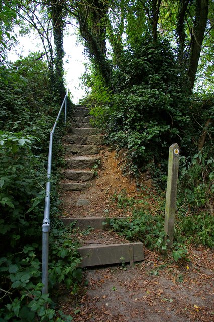
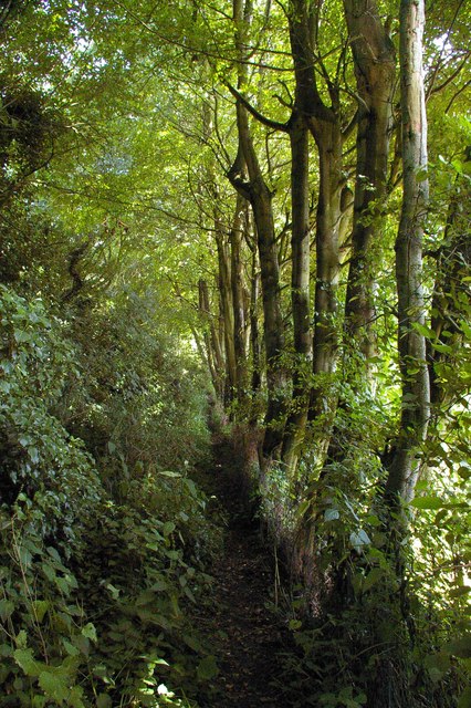
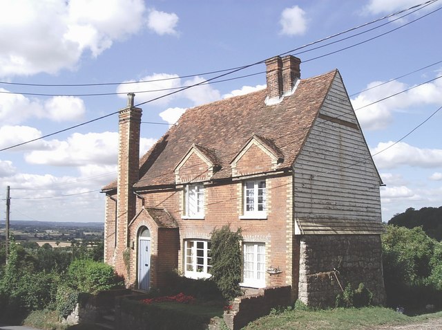
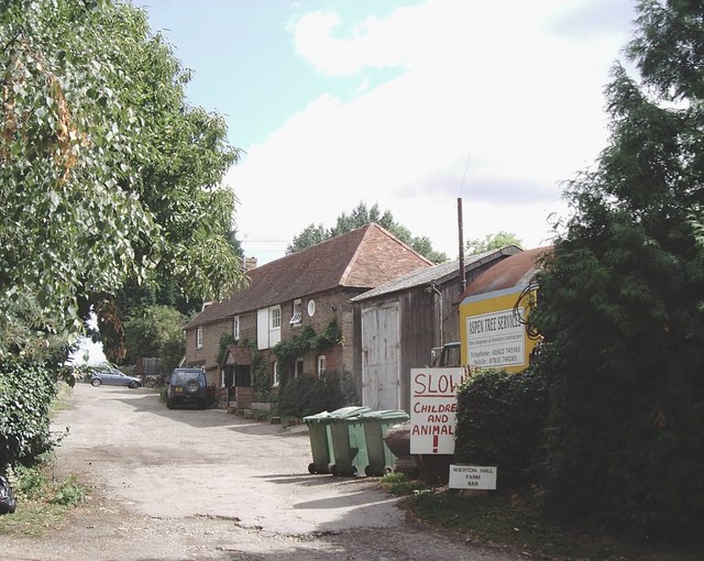
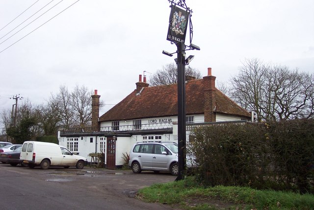


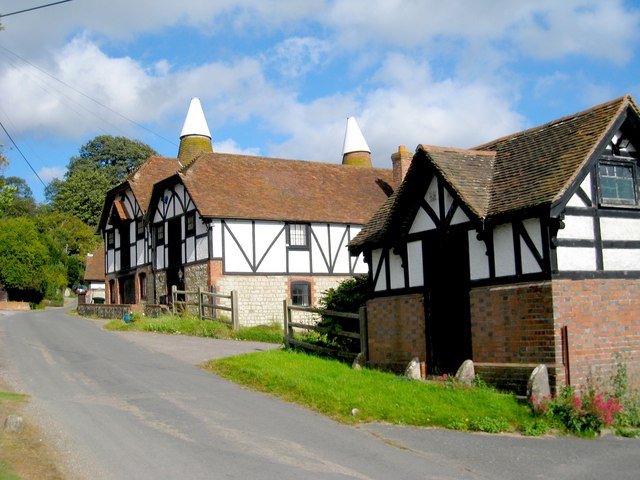

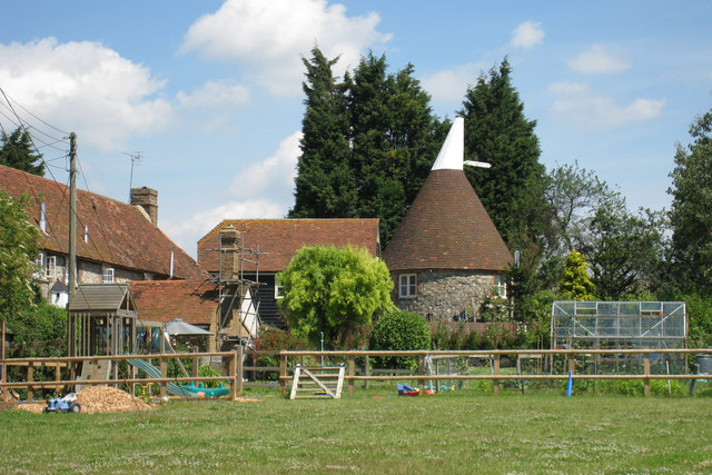
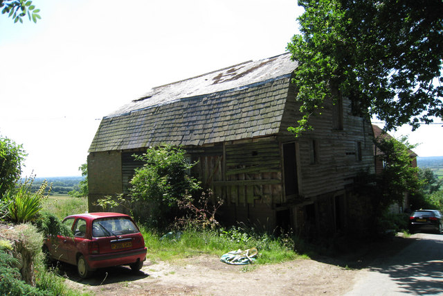

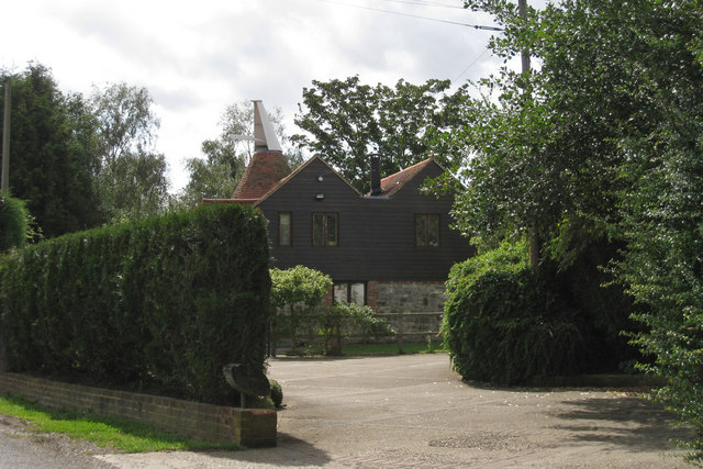


Chart Sutton is located at Grid Ref: TQ7948 (Lat: 51.20926, Lng: 0.568927)
Administrative County: Kent
District: Maidstone
Police Authority: Kent
What 3 Words
///loitering.alarming.includes. Near Staplehurst, Kent
Nearby Locations
Related Wikis

Chart Sutton
Chart Sutton is a civil parish and small village on the edge of the Weald of Kent, England. It lies approximately 5 miles (8 km) to the south of Maidstone...

Maidstone and The Weald (UK Parliament constituency)
Maidstone and The Weald is a constituency in Kent represented in the House of Commons of the UK Parliament since 2010 by Helen Grant of the Conservative...

Sutton Valence
Sutton Valence (in the past also called Sudtone, Town Sutton and Sutton Hastings, see below) is a village about five miles (8 km) SE of Maidstone, Kent...

Sutton Valence School
Sutton Valence School (SVS) is an independent school near Maidstone in southeast England. It has 560 pupils. It is a co-educational day and boarding school...
Nearby Amenities
Located within 500m of 51.20926,0.568927Have you been to Chart Sutton?
Leave your review of Chart Sutton below (or comments, questions and feedback).