Charsfield
Civil Parish in Suffolk East Suffolk
England
Charsfield
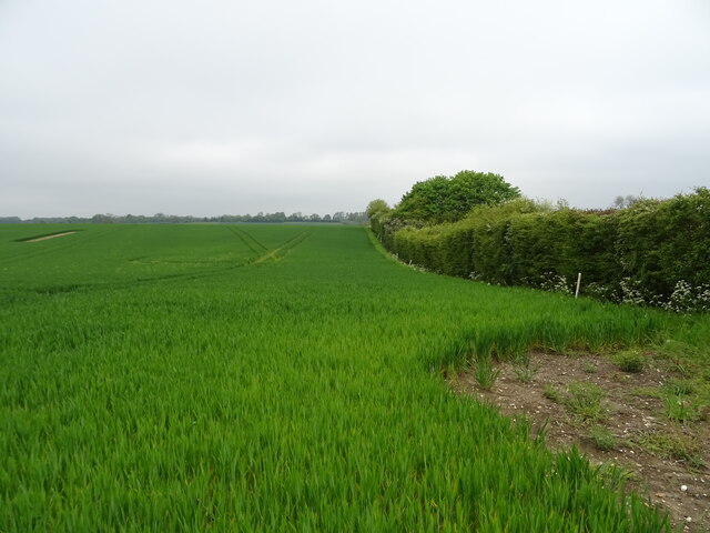
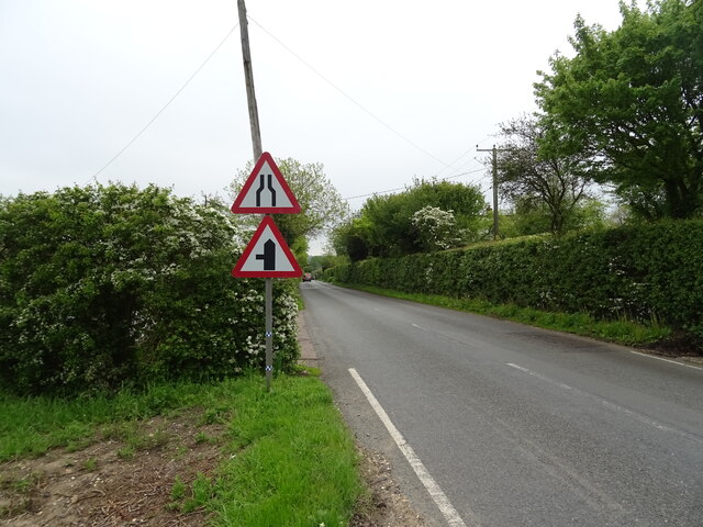
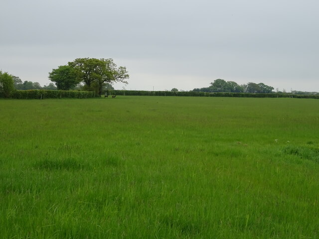
Charsfield is a civil parish located in the county of Suffolk, England. Situated approximately 7 miles north-west of the town of Woodbridge, Charsfield covers an area of around 2.5 square miles. The parish is predominantly rural, characterized by rolling countryside, agricultural fields, and scattered hamlets.
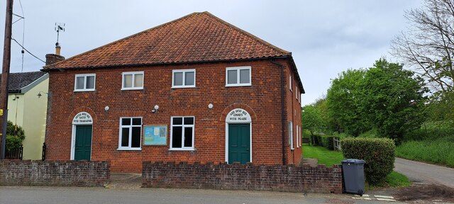
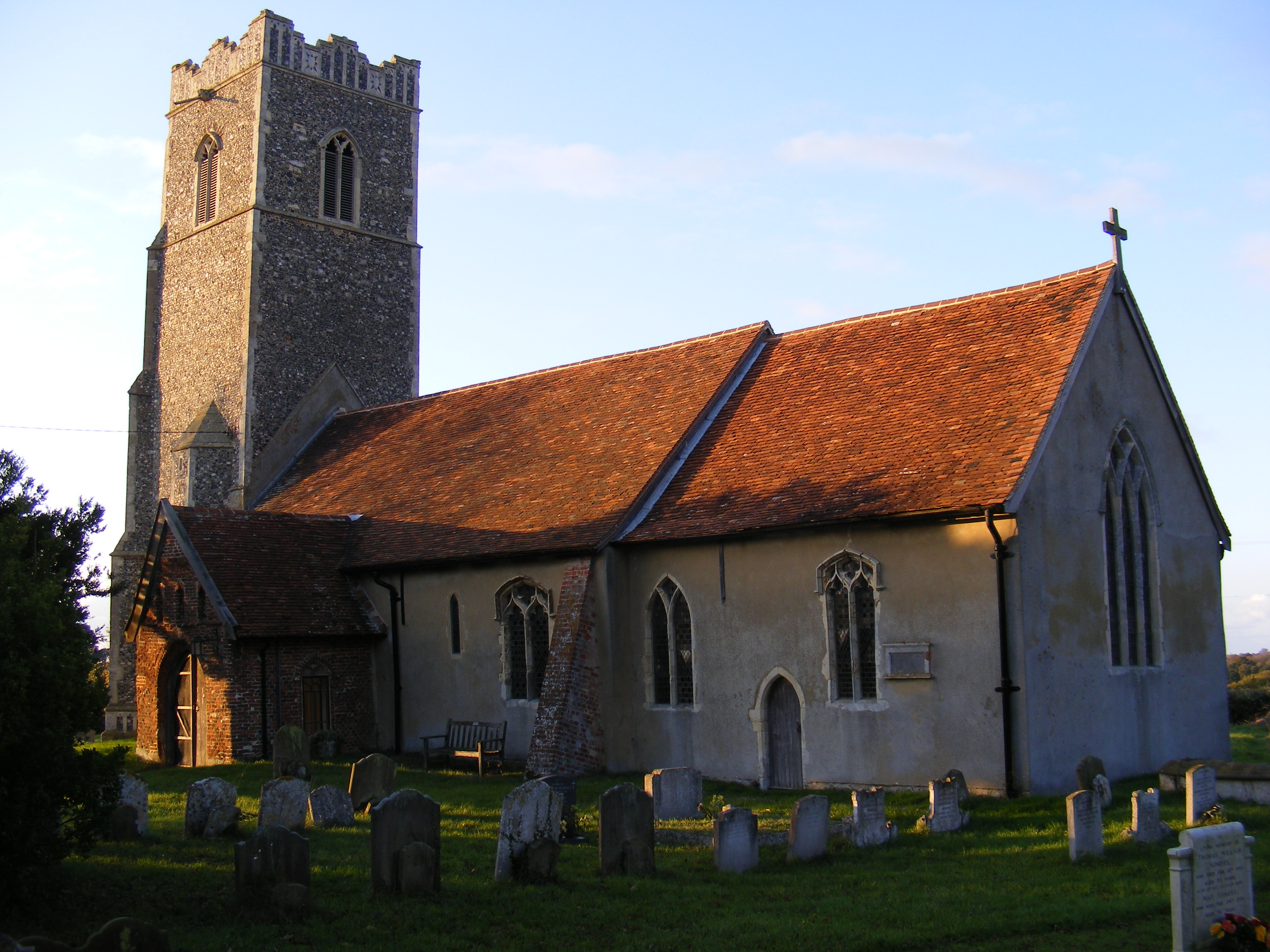
The village of Charsfield itself is the main settlement within the parish, with a population of roughly 500 residents. It is a quintessentially English village, featuring picturesque cottages, a historic church, a primary school, and a village hall. The church, dedicated to St. Peter, dates back to the 14th century and is a prominent landmark in the area.
The parish is surrounded by beautiful natural landscapes, including woodlands and meadows, which provide opportunities for walking, cycling, and outdoor activities. The area is known for its scenic beauty and tranquility, attracting visitors seeking a peaceful escape from the hustle and bustle of urban life.
Despite its small size, Charsfield has a strong sense of community and hosts various social events throughout the year, bringing residents together. The village also boasts a pub, The Three Horseshoes, which serves as a gathering place for locals and visitors alike.
Overall, Charsfield offers a charming and idyllic setting, characterized by its rural landscapes, community spirit, and historical landmarks. It provides a peaceful and welcoming environment for residents and visitors to enjoy the beauty of the Suffolk countryside.
If you have any feedback on the listing, please let us know in the comments section below.
Charsfield Images
Images are sourced within 2km of 52.160229/1.28517 or Grid Reference TM2456. Thanks to Geograph Open Source API. All images are credited.


Charsfield is located at Grid Ref: TM2456 (Lat: 52.160229, Lng: 1.28517)
Administrative County: Suffolk
District: East Suffolk
Police Authority: Suffolk
What 3 Words
///diagram.tumblers.admires. Near Wickham Market, Suffolk
Nearby Locations
Related Wikis

Charsfield
Charsfield is a small Suffolk village of 342 residents, 3 miles (4.8 km) from Wickham Market, 7 miles (11 km) from Woodbridge and 12 miles (19 km) from...

Martins' Meadows
Monewden Meadows is a 3.7-hectare (9.1-acre) biological Site of Special Scientific Interest south-west of Monewden in Suffolk. It is a Nature Conservation...
Monewden
Monewden ( MON-ə-dən) is a small village and a civil parish in the hundred of Loss (Also: Loes, Loose), in the East Suffolk District, in the English county...

Dallinghoo
Dallinghoo is a village about three miles (5 km) north of Woodbridge, Suffolk, England. == Location == Dallinghoo is formed from Church Road to the west...
Nearby Amenities
Located within 500m of 52.160229,1.28517Have you been to Charsfield?
Leave your review of Charsfield below (or comments, questions and feedback).