Chacewater
Civil Parish in Cornwall
England
Chacewater
Chacewater is a civil parish located in the county of Cornwall, in southwestern England. Situated approximately five miles to the northwest of Truro, the parish covers an area of around 9 square miles and is home to a population of approximately 1,200 residents.
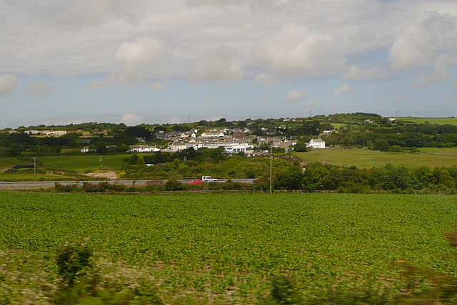
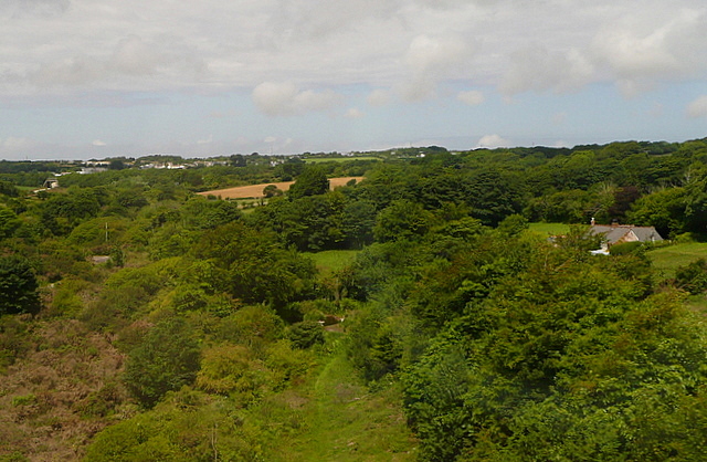
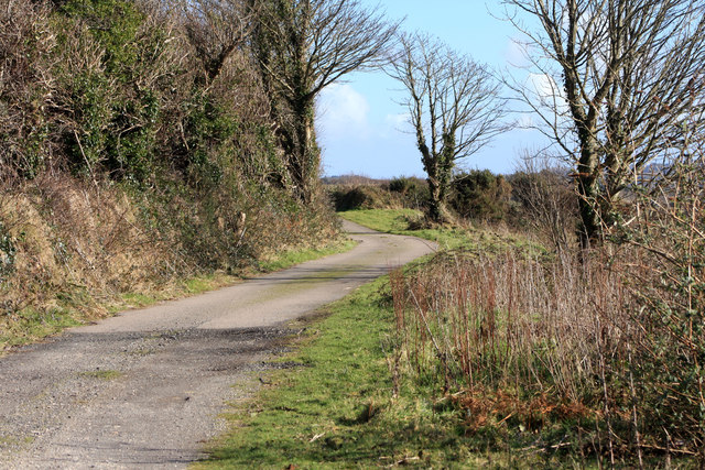
The village of Chacewater serves as the main settlement within the parish. It is nestled in a valley and surrounded by picturesque countryside, offering stunning views and a peaceful atmosphere. The village is characterized by its charming historic buildings, including the 19th-century Holy Trinity Church, which is a prominent feature of the local landscape.
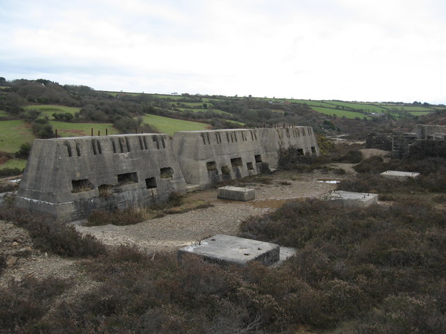
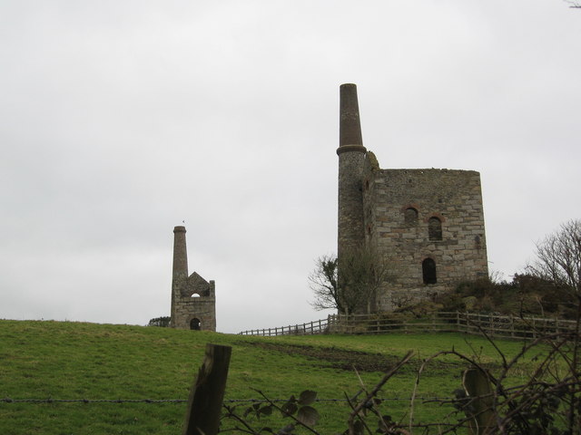
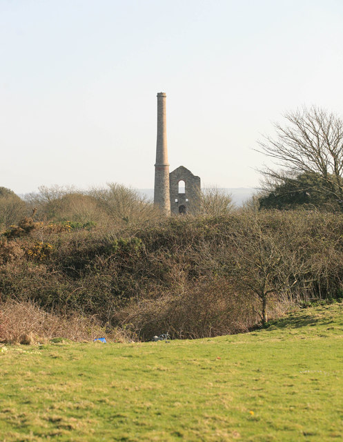
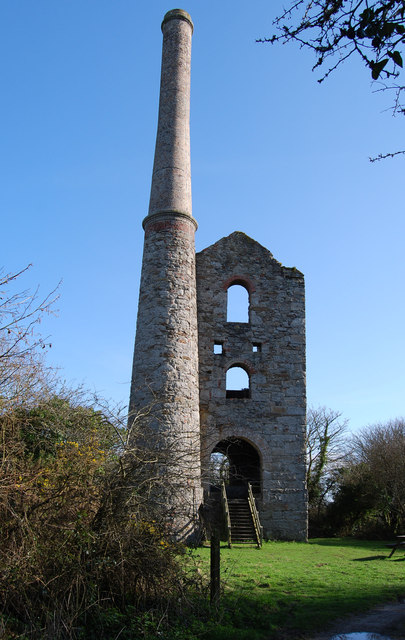
Chacewater has a rich mining heritage, with evidence of copper and tin mining dating back centuries. The area was once a bustling mining center, but today it is mainly a residential community. Nevertheless, remnants of the mining industry can still be seen, such as old engine houses and mine shafts, which serve as a reminder of the village's past.
The village of Chacewater offers a range of amenities for its residents, including a primary school, a post office, a village hall, and a community center. There are also a few local businesses, such as a convenience store and a pub, providing essential services and a sense of community.
Chacewater is located within easy reach of the nearby city of Truro, which offers a wider range of amenities, including shopping centers, restaurants, and leisure facilities. The surrounding countryside also provides ample opportunities for outdoor activities, such as hiking, cycling, and exploring the nearby moorland and woodland areas.
Overall, Chacewater is a charming and tranquil parish, offering a close-knit community and a beautiful natural environment for its residents to enjoy.
If you have any feedback on the listing, please let us know in the comments section below.
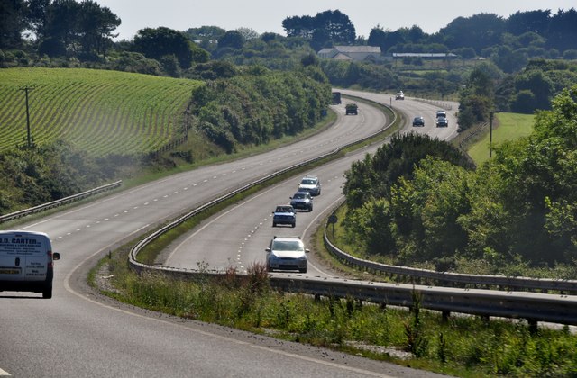
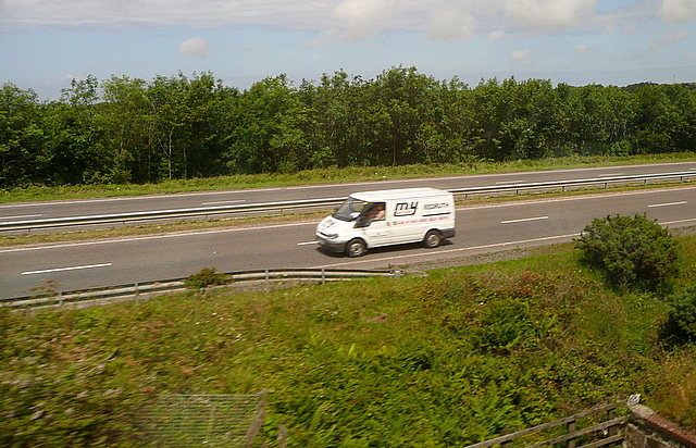
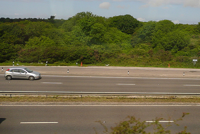
Chacewater Images
Images are sourced within 2km of 50.255537/-5.161913 or Grid Reference SW7444. Thanks to Geograph Open Source API. All images are credited.
![High Speed Train at Chacewater, 1981 A High Speed Train [with power car 43032 nearest the camera] passes through the closed station at Chacewater in the Autumn of 1981](https://s3.geograph.org.uk/geophotos/02/66/87/2668771_d7b08ea6.jpg)
![High Speed Train Leaving Chacewater, 1981 An eastbound High Speed Train [with power car No 43033 visible] has just passed through the closed station at Chacewater and is crossing the viaduct in the autumn of 1981](https://s0.geograph.org.uk/geophotos/02/66/87/2668776_6ee9e98a.jpg)


Chacewater is located at Grid Ref: SW7444 (Lat: 50.255537, Lng: -5.161913)
Unitary Authority: Cornwall
Police Authority: Devon & Cornwall
What 3 Words
///shuts.bulletins.clasps. Near Chacewater, Cornwall
Nearby Locations
Related Wikis

Carnhot
Carnhot is a hamlet in the civil parish of Chacewater in Cornwall, England. Carnot lies 2 miles (3.2 km) north-west of Chacewater on the road to Blackwater...

Chacewater
Chacewater (Cornish: Dowr an Chas) is a village and civil parish in Cornwall, England, UK. It is situated approximately 3 miles (4.8 km) east of Redruth...

Salem, Cornwall
Salem is a hamlet west of Chacewater, Cornwall, England. == References ==
Creegbrawse
Creegbrawse is a hamlet in west Cornwall, England, United Kingdom. It is situated between the villages of Chacewater (where the 2011 census population...
Cox Hill, Cornwall
Cox Hill is a hamlet in the parish of Chacewater (where the 2011 Census population was included), Cornwall, England. == References ==
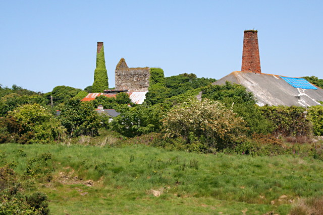
Wheal Busy
Wheal Busy, sometimes called Great Wheal Busy and in its early years known as Chacewater Mine, was a metalliferous mine halfway between Redruth and Truro...
Jolly's Bottom
Jolly's Bottom is in west Cornwall, England, United Kingdom. It is situated approximately a half mile (1 km) north of Chacewater and straddles the main...

Kerley Downs
Kerley Downs (Cornish: Krug Bleydh, meaning wolf's tumulus) is a moorland southeast of Chacewater in Cornwall, England. == References ==
Nearby Amenities
Located within 500m of 50.255537,-5.161913Have you been to Chacewater?
Leave your review of Chacewater below (or comments, questions and feedback).