Chacombe

Civil Parish in Northamptonshire

England

Chacombe

Horton almshouses, Middleton Cheney
Horton almshouses, Middleton Cheney Credit: Sarah Charlesworth

Chacombe is a small village and civil parish located in the county of Northamptonshire, England. Situated approximately 5 miles southwest of the market town of Banbury, it has a population of around 1,500 residents. The village is nestled in the beautiful countryside of Northamptonshire and enjoys a peaceful and picturesque setting.

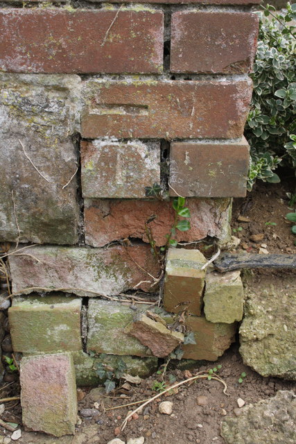
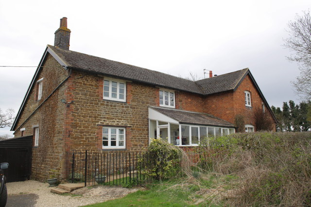
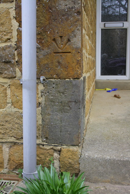
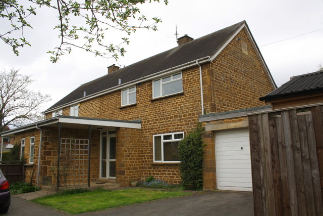
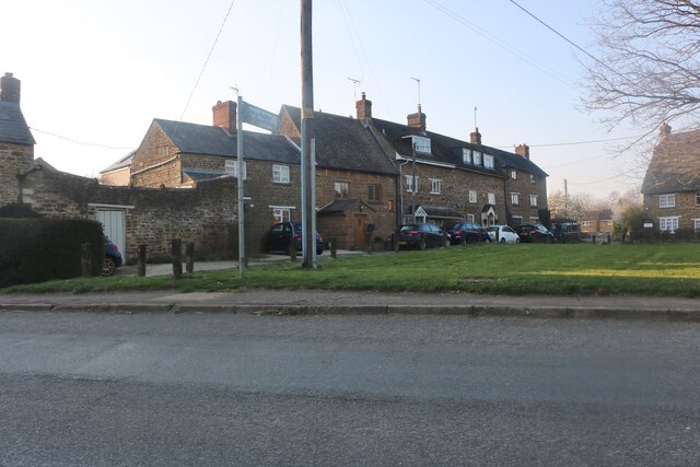
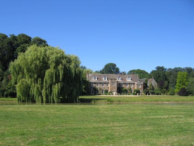
Chacombe is known for its historic charm, with many buildings dating back to the 17th and 18th centuries. The village is characterized by its traditional limestone cottages and stone-built houses, giving it a quaint and traditional feel. The centerpiece of Chacombe is St. Peter and St. Paul's Church, a Grade II listed building that dates back to the 13th century and showcases stunning architectural features.

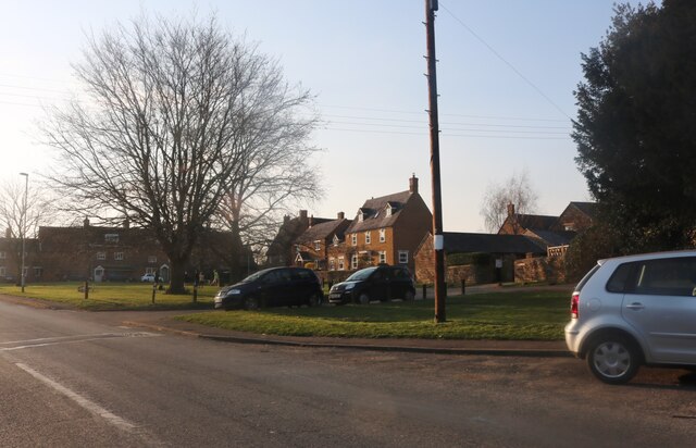
Despite its small size, Chacombe offers a range of amenities to its residents. These include a primary school, a village hall, a post office, and a local convenience store. The village also has a strong sense of community, with various clubs and organizations catering to different interests and age groups.

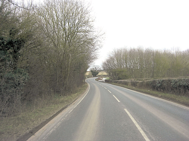
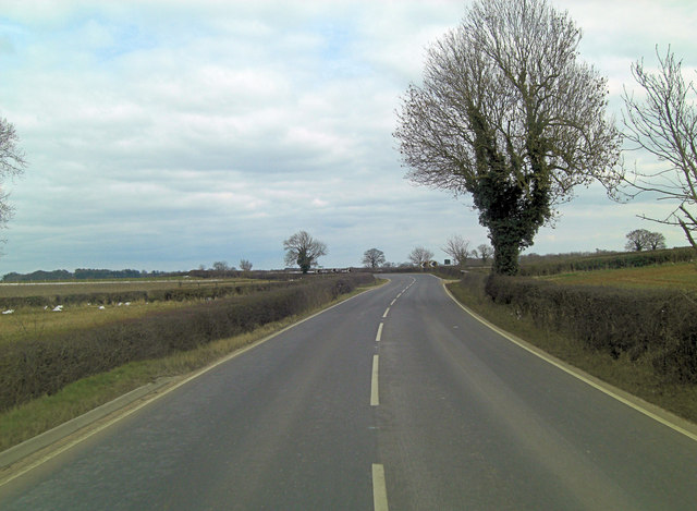
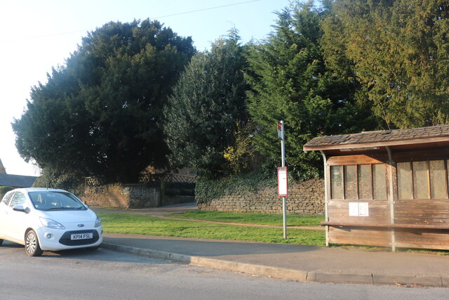
Chacombe benefits from its proximity to larger towns such as Banbury, which provide additional amenities and employment opportunities. The village is well-connected to the surrounding areas by road, with the A422 running nearby. There are also regular bus services that connect Chacombe to neighboring towns.

Overall, Chacombe is a charming and peaceful village that offers a close-knit community and a desirable rural lifestyle.

If you have any feedback on the listing, please let us know in the comments section below.
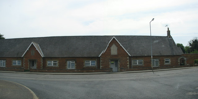
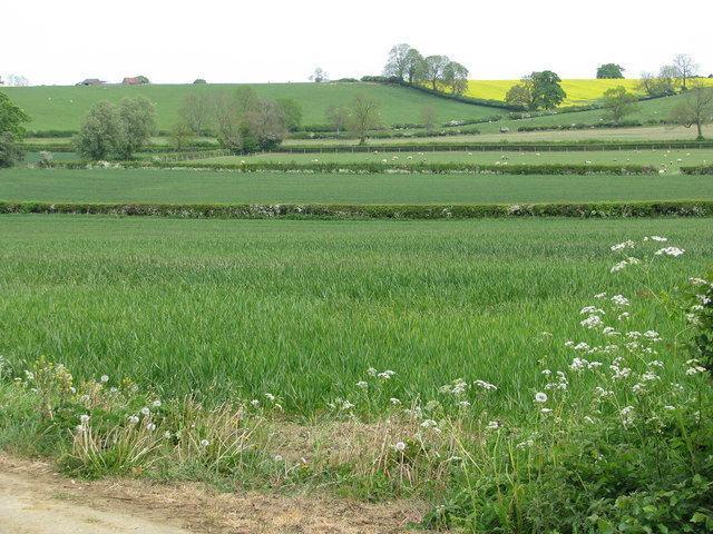
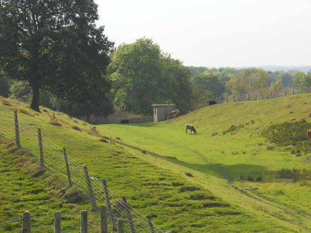
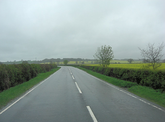
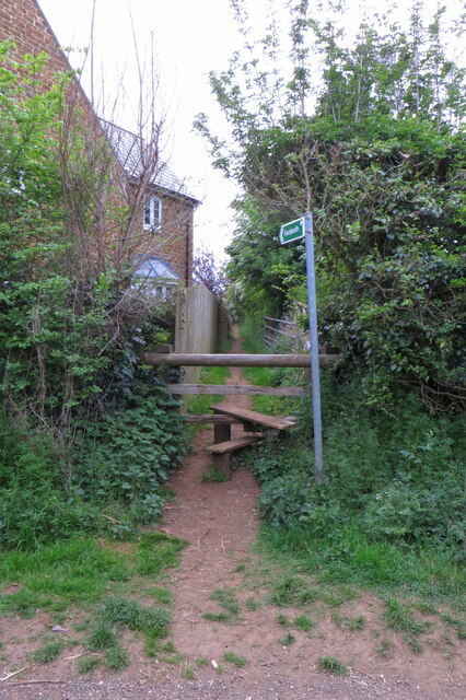
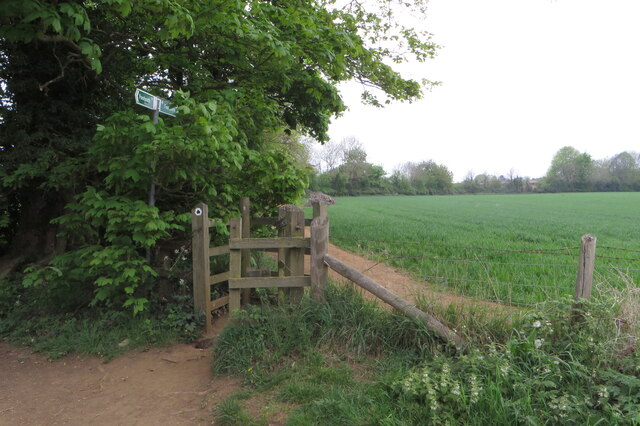
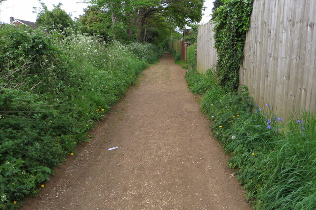
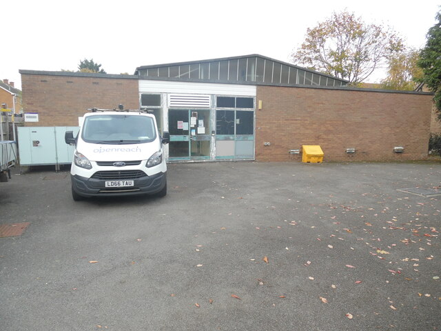
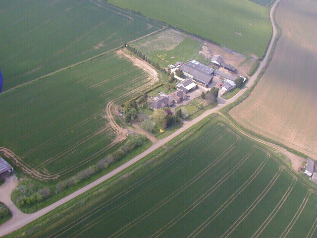
Chacombe Images

Images are sourced within 2km of 52.085562/-1.282875 or Grid Reference SP4943. Thanks to Geograph Open Source API. All images are credited.

Horton almshouses, Middleton Cheney
Fields near Jeff's Farm
Chacombe-Dismantled Railway Cows grazing near an old railwaymen's cabin on the dismantled Great Central Railway.
Chacombe-Dismantled Railway
Cows grazing near an old railwaymen's cabin on the dismantled Great Central Railway.
B4525 southeast of Chacombe Hill Farm Even the oil seed rape field looks dull on this wet Sunday.
B4525 southeast of Chacombe Hill Farm
Even the oil seed rape field looks dull on this wet Sunday.
B4525 west of Stanwell Farm
B4525 south of Chacoumbe Farm
Benchmark on Stanwell Farm farmhouse Ordnance Survey cut mark benchmark described on the Bench Mark Database at <span class="nowrap"><a title="http://www.bench-marks.org.uk/bm48278" rel="nofollow ugc noopener" href="http://www.bench-marks.org.uk/bm48278">Link</a><img style="margin-left:2px;" alt="External link" title="External link - shift click to open in new window" src="https://s1.geograph.org.uk/img/external.png" width="10" height="10"/></span>
Benchmark on Stanwell Farm farmhouse
Ordnance Survey cut mark benchmark described on the Bench Mark Database at LinkExternal link
Farmhouse at Stanwell Farm There is an OS benchmark <a href="https://www.geograph.org.uk/photo/3427508">SP5042 : Benchmark on Stanwell Farm farmhouse</a> on the side of the house at the near angle
Farmhouse at Stanwell Farm
There is an OS benchmark SP5042 : Benchmark on Stanwell Farm farmhouse on the side of the house at the near angle
Benchmark on Police House, #30 Main Road Ordnance Survey inverted cut mark benchmark described on the Bench Mark Database at <span class="nowrap"><a title="http://www.bench-marks.org.uk/bm48296" rel="nofollow ugc noopener" href="http://www.bench-marks.org.uk/bm48296">Link</a><img style="margin-left:2px;" alt="External link" title="External link - shift click to open in new window" src="https://s1.geograph.org.uk/img/external.png" width="10" height="10"/></span>
Benchmark on Police House, #30 Main Road
Ordnance Survey inverted cut mark benchmark described on the Bench Mark Database at LinkExternal link
Police House, #30 Main Road There is an OS benchmark <a href="https://www.geograph.org.uk/photo/3473354">SP5041 : Benchmark on Police House, #30 Main Road</a> on the front face of a corner stone on the jut on the far side of the path to the front door
Police House, #30 Main Road
There is an OS benchmark SP5041 : Benchmark on Police House, #30 Main Road on the front face of a corner stone on the jut on the far side of the path to the front door
Bus stop on Main Road, Middleton Cheney
Main Road, Middleton Cheney
The Green, Middleton Cheney
Footpath to the church
Gate on the footpath to the Millennium Way
Millennium Way heading out of Middleton Cheney
Telephone Exchange, Middleton Cheney Situated in Bull Baulk OX17 2QH, this TE is of a common design and dates from the early 1970s. It has the code SMMC and provides telephone and broadband services to approximately 2,645 residential and 114 non-residential premises in Middleton Cheney plus Chacombe, Farthinghoe, Greatworth, Marston St Lawrence, Overthorpe and Thenford nearby. The numbering range of this TE is (01295) 71xxxx, the (01295) referring to the Banbury group of thirteen TEs. An Openreach van can be seen parked in front of this TE.
Telephone Exchange, Middleton Cheney
Situated in Bull Baulk OX17 2QH, this TE is of a common design and dates from the early 1970s. It has the code SMMC and provides telephone and broadband services to approximately 2,645 residential and 114 non-residential premises in Middleton Cheney plus Chacombe, Farthinghoe, Greatworth, Marston St Lawrence, Overthorpe and Thenford nearby. The numbering range of this TE is (01295) 71xxxx, the (01295) referring to the Banbury group of thirteen TEs. An Openreach van can be seen parked in front of this TE.
Jeffs Farm Photo taken in 2001 from microlight aircraft/powered kite
Jeffs Farm
Photo taken in 2001 from microlight aircraft/powered kite
Show me another place!

Chacombe is located at Grid Ref: SP4943 (Lat: 52.085562, Lng: -1.282875)

Unitary Authority: West Northamptonshire

Police Authority: Northamptonshire

What 3 Words

///tweed.raves.flamed. Near Banbury, Oxfordshire

Nearby Locations

Chacombe Chacombe

Related Wikis

Chacombe

Chacombe (sometimes Chalcombe in the past) is a village and civil parish in West Northamptonshire, England, about 3 miles (5 km) north-east of Banbury...

Chacombe Priory

Chacombe Priory (or Chalcombe Priory) was a priory of Augustinian canons at Chacombe, Northamptonshire, England.Hugh of Chalcombe, lord of the manor of...

Chalcombe Road Halt railway station

Chalcombe Road Halt was a railway station on the link line between the Great Central Railway and the Great Western Railway's Birmingham - London line,...

Chenderit School

Chenderit School is a coeducational 11–18 secondary school with specialist status in the visual arts in Middleton Cheney near Banbury, England, which opened...

Nearby Amenities

Located within 500m of 52.085562,-1.282875
Barrier: stile
Steps: 1
Lat/Long: 52.0877857/-1.2863068
Bus Stop
Middleton Road (adj)
Naptan AtcoCode: 300000534TL
Naptan CommonName: Middleton Road
Naptan Indicator: adj
Naptan Landmark: Middleton Road
Naptan NaptanCode: nthdamgd
Naptan Street: The Ring
Public Transport: platform
Lat/Long: 52.0898047/-1.2811504
Social Facility
Chacombe Park
Addr City: Banbury
Addr Country: GB
Addr Housename: Chacombe House
Addr Postcode: OX17 2FL
Addr Street: Banbury Road
Addr Village: Chacombe
Capacity: 77
Fhrs Authority: West Northamptonshire
Fhrs Id: 1540825
Fhrs Local Authority Id: FR/000000773
Note: Chacombe House
Operator: Barchester Healthcare Homes Limited
Phone: +44 1295712001
Social Facility: nursing_home
Website: https://www.barchester.com
Lat/Long: 52.0878818/-1.2844456
Bus Stop
The Ring (opp)
Bench: yes
Bin: yes
Naptan AtcoCode: 300000534TR
Naptan CommonName: The Ring
Naptan Indicator: opp
Naptan Landmark: The Ring
Naptan NaptanCode: nthdamgj
Naptan Street: Banbury Road
Public Transport: platform
Shelter: yes
Lat/Long: 52.0897119/-1.2817783
Turning Loop
Lat/Long: 52.081944/-1.2832808
Turning Circle
Lat/Long: 52.0876216/-1.2839395
Direction: 170
Generator Method: photovoltaic
Generator Output Electricity: yes
Generator Solar Modules: 16
Generator Source: solar
Generator Type: solar_photovoltaic_panel
Location: roof
Power: generator
Lat/Long: 52.0895298/-1.2798098
Direction: 160
Generator Method: photovoltaic
Generator Output Electricity: yes
Generator Solar Modules: 20
Generator Source: solar
Generator Type: solar_photovoltaic_panel
Location: roof
Power: generator
Lat/Long: 52.0889456/-1.278073
The data included in this document is from www.openstreetmap.org. The data is made available under ODbL.

Have you been to Chacombe?

Leave your review of Chacombe below (or comments, questions and feedback).