Catshill and North Marlbrook
Civil Parish in Worcestershire Bromsgrove
England
Catshill and North Marlbrook
Catshill and North Marlbrook is a civil parish located in the county of Worcestershire, England. It is situated approximately 14 miles south of the city of Birmingham and 5 miles north of the town of Bromsgrove. The area is predominantly residential, with a mix of housing developments and rural landscapes.
Catshill is a village within the parish, known for its picturesque countryside and charming character. It has a small but vibrant community, with various amenities such as a primary school, village hall, and local shops. The village is also home to Stourbridge Football Club, which plays its matches at the War Memorial Athletic Ground.
North Marlbrook, on the other hand, is a more suburban area that has grown considerably in recent years. It is characterized by a range of housing types, including detached houses, semi-detached houses, and modern apartment complexes. The area benefits from excellent transport links, with the M5 motorway nearby, providing easy access to Birmingham and the wider region.
Both Catshill and North Marlbrook offer a peaceful and family-friendly environment, with plenty of green spaces and recreational facilities. The surrounding countryside provides ample opportunities for outdoor activities, including walking, cycling, and horse riding. Additionally, the nearby Lickey Hills Country Park is a popular destination for nature lovers and offers stunning views of the surrounding area.
Overall, Catshill and North Marlbrook provide a desirable place to live, offering a balance between rural tranquility and accessibility to larger towns and cities.
If you have any feedback on the listing, please let us know in the comments section below.
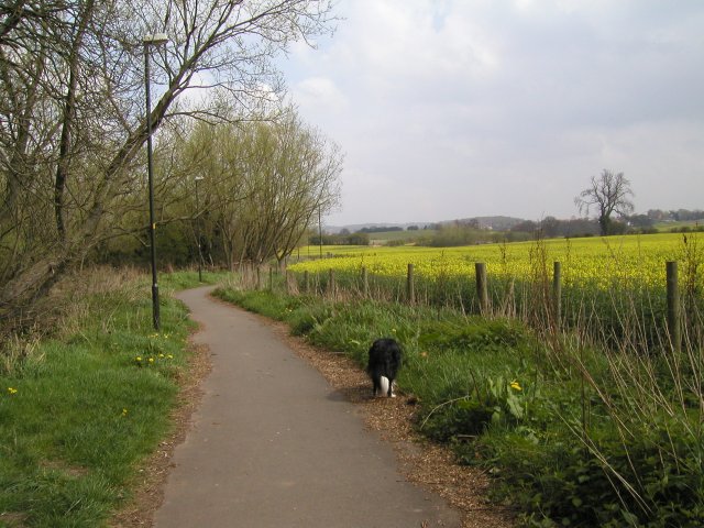
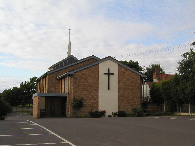
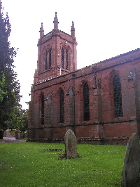
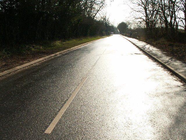
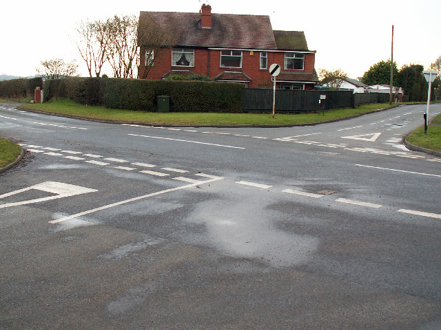
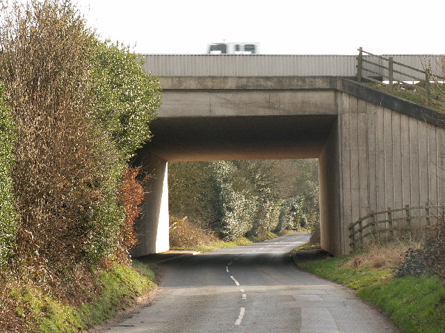
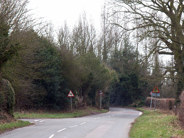
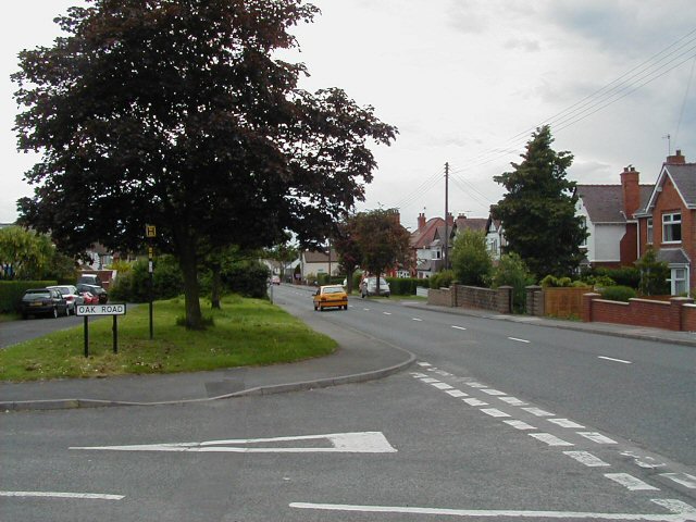
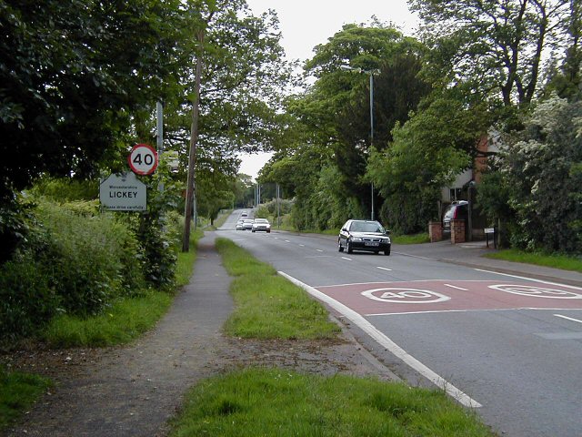
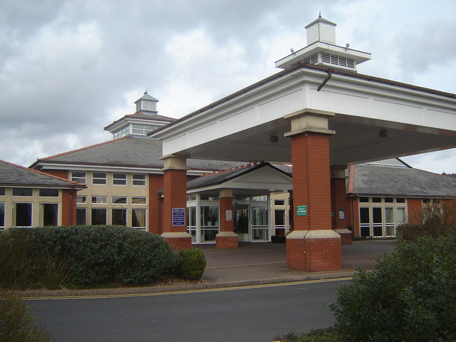
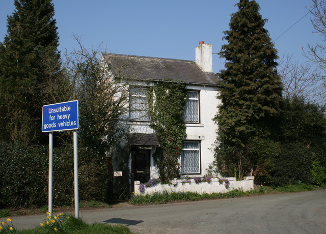
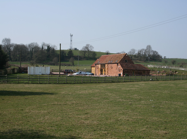
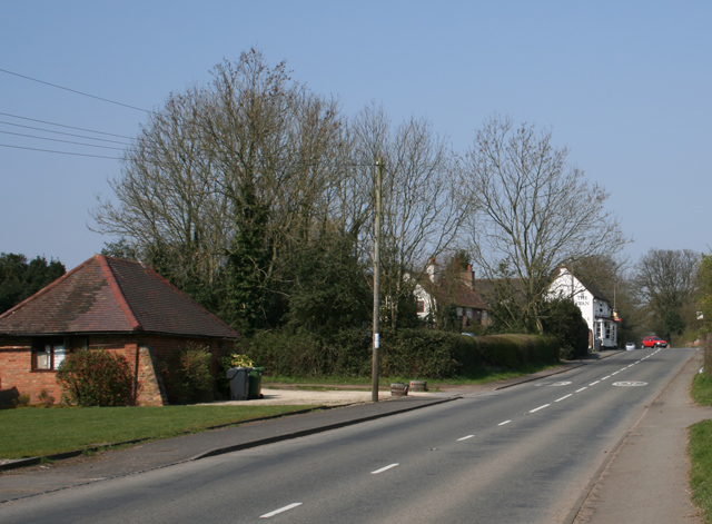
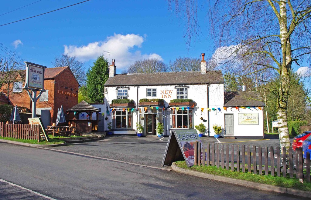
Catshill and North Marlbrook Images
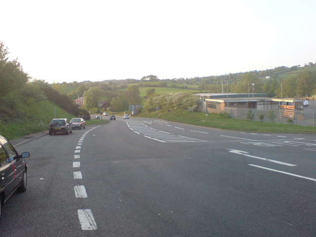
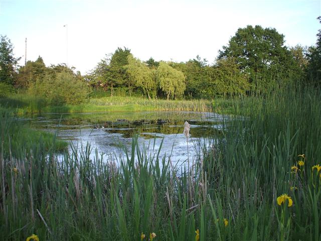
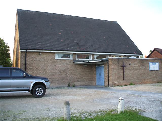
Images are sourced within 2km of 52.365403/-2.053015 or Grid Reference SO9674. Thanks to Geograph Open Source API. All images are credited.


Catshill and North Marlbrook is located at Grid Ref: SO9674 (Lat: 52.365403, Lng: -2.053015)
Administrative County: Worcestershire
District: Bromsgrove
Police Authority: West Mercia
What 3 Words
///tube.behind.keeps. Near Barnt Green, Worcestershire
Nearby Locations
Related Wikis

Catshill
Catshill is a village in Worcestershire about 2.5 miles north of Bromsgrove and 10 miles south-west of Birmingham. The parish of Catshill was formed around...

Marlbrook, Worcestershire
Marlbrook is a village in Worcestershire, England. It is located 3 miles north east of Bromsgrove, between Upper Catshill from which it is separated by...

1997 M42 motorway crash
On 10 March 1997 a multiple-vehicle collision occurred on the M42 motorway near Bromsgrove, Worcestershire, in central England. Three people were killed...
Lydiate Ash
Lydiate Ash is a hamlet in North Worcestershire, England, consisting of a few houses, the road gritting and works depot for Worcestershire County Council...

Lickey End
Lickey End is a village in the Bromsgrove district of Worcestershire, England. It is situated just north of Bromsgrove, to the south-east of the junction...
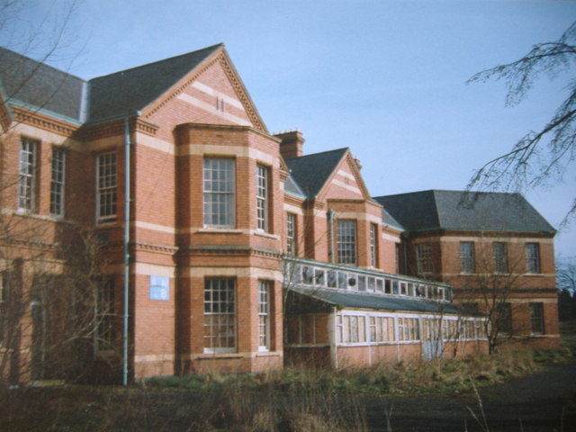
Barnsley Hall Hospital
Barnsley Hall Hospital was a psychiatric facility located in Bromsgrove, Worcestershire. == History == The hospital was based on a 324-acre (131 ha) site...
Fairfield, Worcestershire
Fairfield is a village in the district of Bromsgrove, Worcestershire, England. It is in the civil parish of Belbroughton. The village of Fairfield and...
Bournheath
Bournheath is a village and civil parish in the Bromsgrove District of Worcestershire, England, about three miles north of Bromsgrove. According to the...
Related Videos

Glass Walking
Obstacles don't have to stop you. If you run into a wall, don't turn around and give up. Figure out how to climb it, go through it, ...

A walk around Beaconwood and the Winsel, Bromsgrove during bluebell season.
A walk around Beaconwood and the Winsel, Bromsgrove during bluebell season. Filmed on Xiaomi Pocco X3 / DJI Osmo 3 music ...

Catshill and Pepper Wood circular 5th March 23
Starting at Catshill we walked up to and through Pepper Wood and a big 9-mile circular before returning to the Crown Inn Catshill ...

Worst Rated - Bromsgrove Hotel And Spa - Is It Really That Bad?
Subscribe to see more.
Nearby Amenities
Located within 500m of 52.365403,-2.053015Have you been to Catshill and North Marlbrook?
Leave your review of Catshill and North Marlbrook below (or comments, questions and feedback).