Catshill, Upper
Settlement in Worcestershire Bromsgrove
England
Catshill, Upper
Catshill is a small village located in the district of Bromsgrove, in the county of Worcestershire, England. Situated in the upper part of the county, it lies approximately 14 miles southwest of the city of Birmingham. The village is mainly residential, with a population of around 6,000 people.
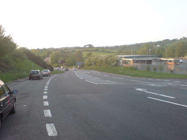
Catshill is well-connected to nearby towns and cities, with good transport links including the A448 road and the nearby M5 motorway, providing easy access to Birmingham and Worcester. The village also benefits from regular bus services, making it convenient for residents to travel within the region.
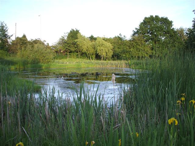
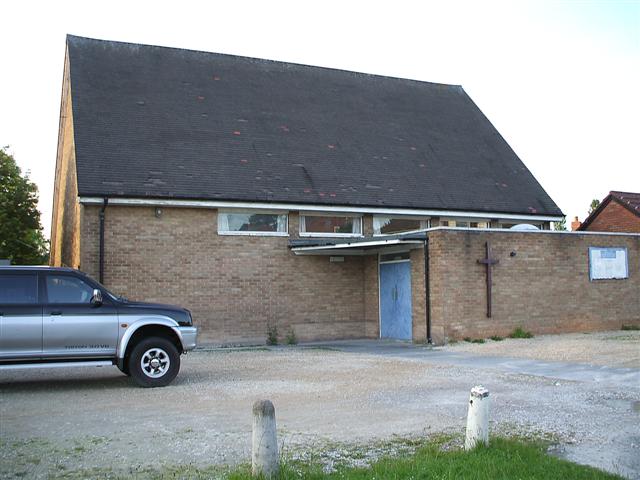
The village offers a range of amenities to its residents, including several shops, a post office, a library, and a health center. There are also a number of schools in the area, catering to children of different age groups. In terms of recreational facilities, Catshill has a community center which hosts various activities and events throughout the year. The village is surrounded by picturesque countryside, offering opportunities for outdoor activities such as walking, cycling, and horse riding.
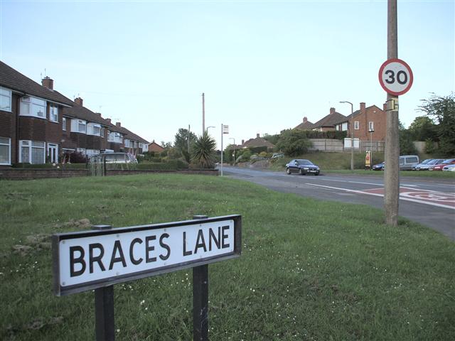
Catshill has a rich history, with evidence of settlement dating back to the Roman period. The village's name is believed to derive from the Old English words "catte," meaning wildcat, and "hyll," meaning hill. The area has seen gradual development over the years, with a mix of older properties and newer housing estates.
Overall, Catshill is a charming village in upper Worcestershire, offering a peaceful and convenient place to live, with a strong sense of community and access to a range of amenities.
If you have any feedback on the listing, please let us know in the comments section below.
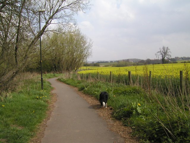
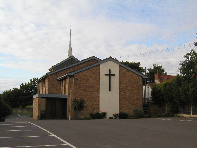
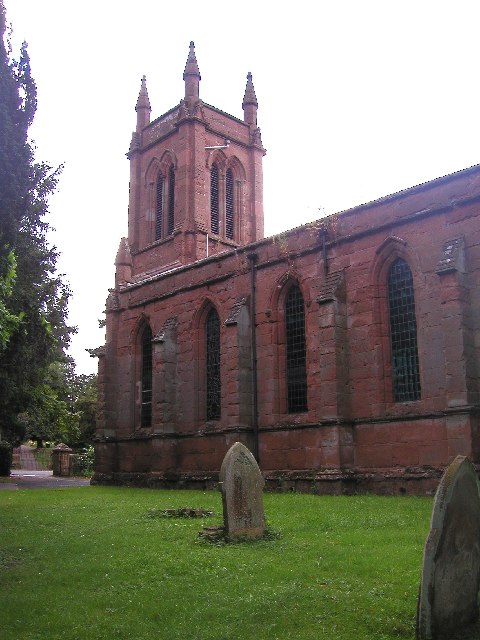
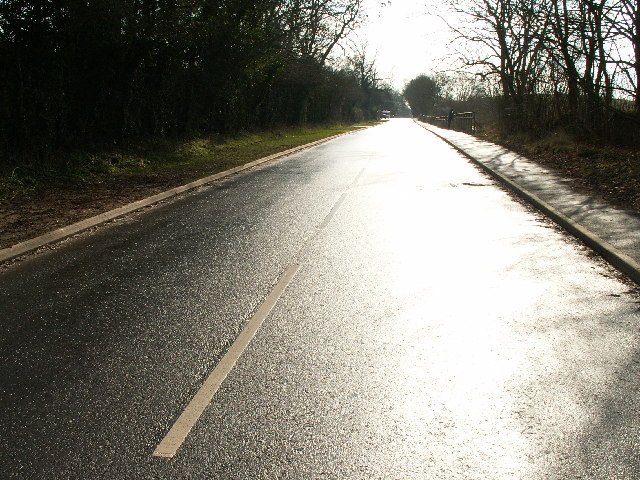
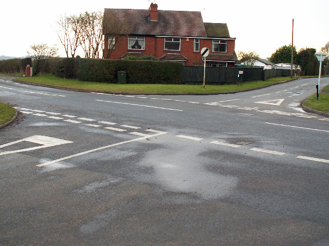
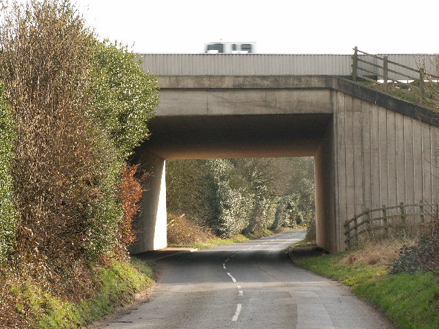
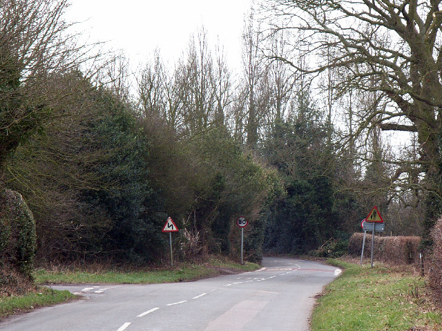
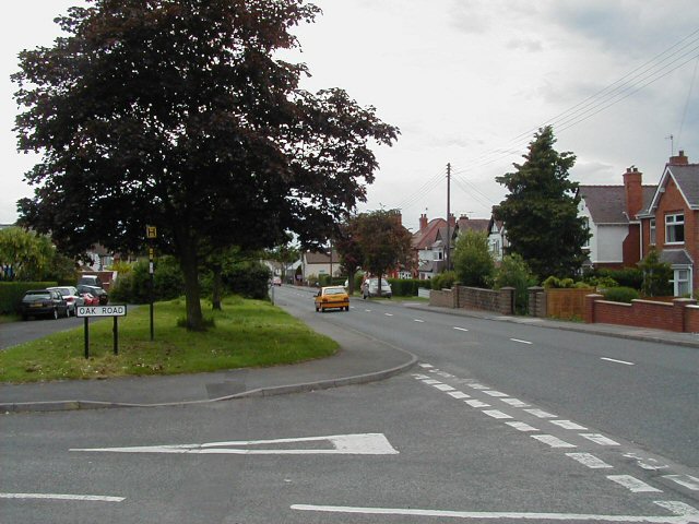
Catshill, Upper Images
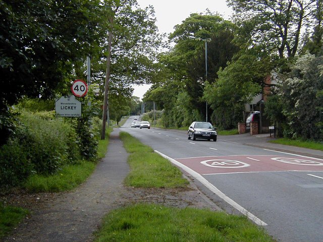
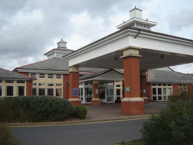
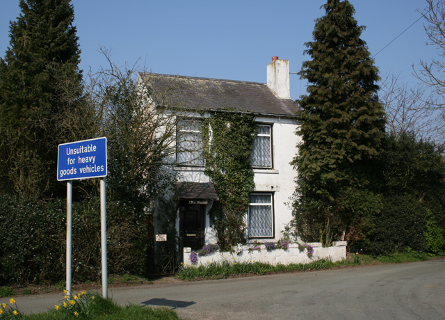
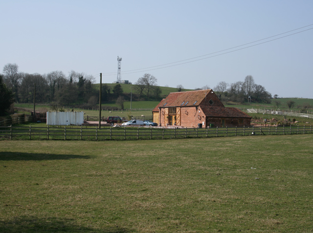
Images are sourced within 2km of 52.366978/-2.05049 or Grid Reference SO9674. Thanks to Geograph Open Source API. All images are credited.


Catshill, Upper is located at Grid Ref: SO9674 (Lat: 52.366978, Lng: -2.05049)
Administrative County: Worcestershire
District: Bromsgrove
Police Authority: West Mercia
What 3 Words
///scarf.beside.backup. Near Barnt Green, Worcestershire
Nearby Locations
Related Wikis

Marlbrook, Worcestershire
Marlbrook is a village in Worcestershire, England. It is located 3 miles north east of Bromsgrove, between Upper Catshill from which it is separated by...

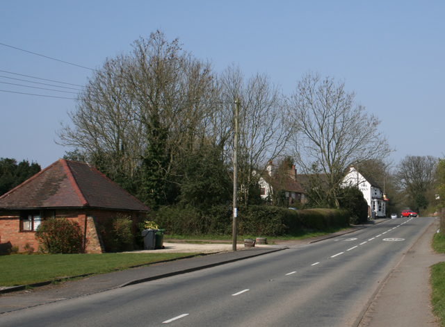
Catshill
Catshill is a village in Worcestershire about 2.5 miles north of Bromsgrove and 10 miles south-west of Birmingham. The parish of Catshill was formed around...

Lydiate Ash
Lydiate Ash is a hamlet in North Worcestershire, England, consisting of a few houses, the road gritting and works depot for Worcestershire County Council...
1997 M42 motorway crash
On 10 March 1997 a multiple-vehicle collision occurred on the M42 motorway near Bromsgrove, Worcestershire, in central England. Three people were killed...
Lickey Grange
Lickey Grange is a Victorian house and estate in the village of Lickey, Bromsgrove District, Worcestershire, near Birmingham, England, where the automobile...

Lickey End
Lickey End is a village in the Bromsgrove district of Worcestershire, England. It is situated just north of Bromsgrove, to the south-east of the junction...
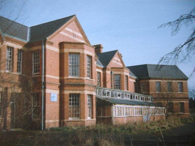
Barnsley Hall Hospital
Barnsley Hall Hospital was a psychiatric facility located in Bromsgrove, Worcestershire. == History == The hospital was based on a 324-acre (131 ha) site...
Fairfield, Worcestershire
Fairfield is a village in the district of Bromsgrove, Worcestershire, England. It is in the civil parish of Belbroughton. The village of Fairfield and...
Nearby Amenities
Located within 500m of 52.366978,-2.05049Have you been to Catshill, Upper?
Leave your review of Catshill, Upper below (or comments, questions and feedback).