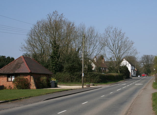
Upper Catshill
Settlement in Worcestershire Bromsgrove
England
Upper Catshill
Upper Catshill is a small village located in the district of Bromsgrove, in the county of Worcestershire, England. Situated just outside the town of Bromsgrove, it is a predominantly residential area with a population of approximately 2,500 residents.
The village is characterized by its picturesque countryside setting, surrounded by rolling hills and lush green fields. It offers a peaceful and tranquil environment, making it an ideal place for those seeking a rural lifestyle while still having access to nearby amenities.
Upper Catshill has a close-knit community, with a number of local amenities to cater to its residents' needs. These include a primary school, a village hall, and a local convenience store. The village is also well-connected, with regular bus services providing easy access to Bromsgrove town center and the wider Worcestershire area.
For those who enjoy outdoor activities, Upper Catshill offers several options. The nearby Lickey Hills Country Park is a popular spot for hiking, cycling, and picnicking, while the Worcester and Birmingham Canal provides opportunities for scenic walks and boat trips.
Despite its peaceful atmosphere, Upper Catshill is conveniently located near major transportation routes. The M5 motorway is easily accessible, providing connections to Birmingham, Worcester, and other major cities. Bromsgrove railway station, just a short distance away, offers regular train services to Birmingham and Worcester.
Overall, Upper Catshill offers a charming rural lifestyle, with a strong sense of community, beautiful surroundings, and convenient access to nearby amenities and transportation links.
If you have any feedback on the listing, please let us know in the comments section below.
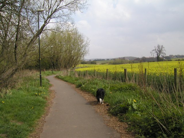
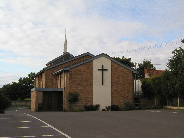
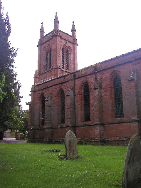
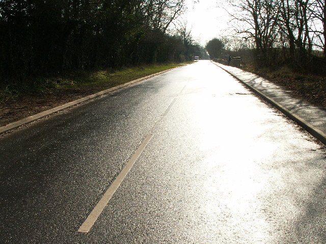
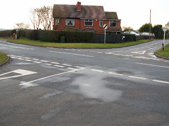
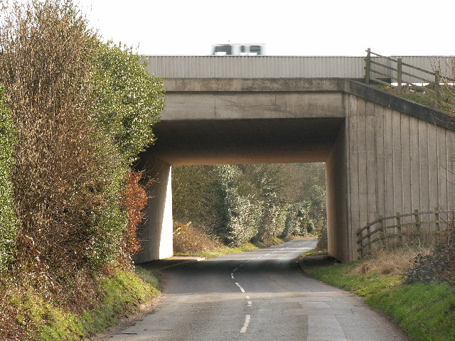
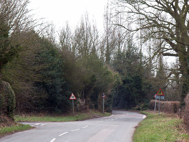
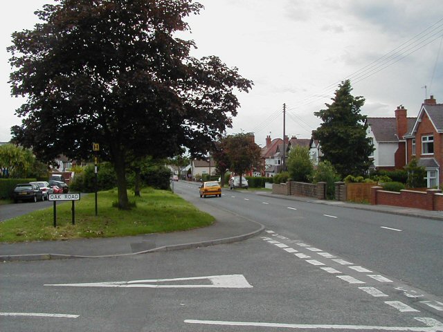
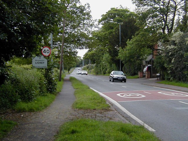
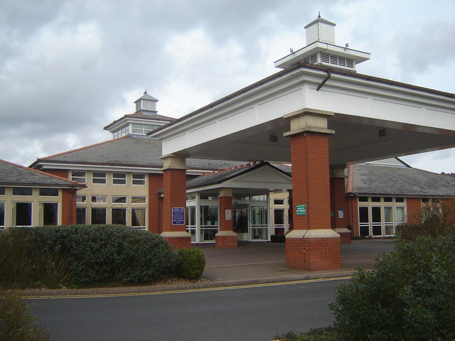
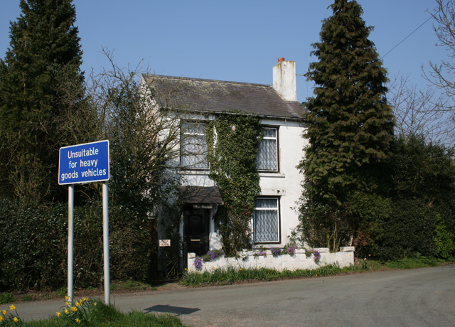
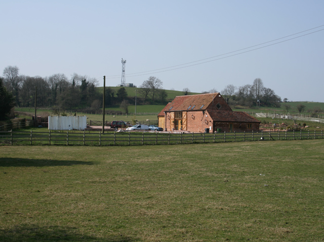
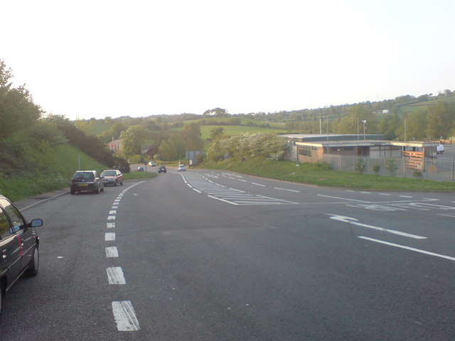
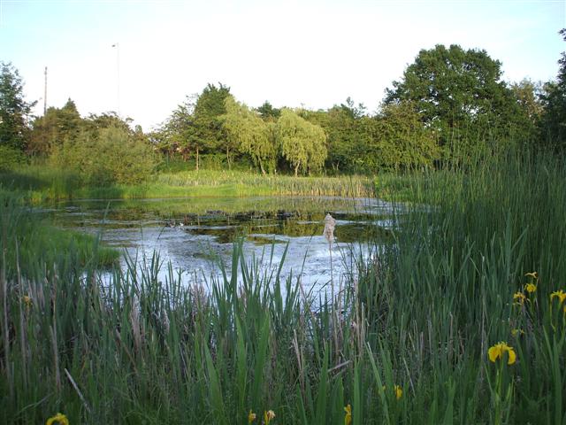
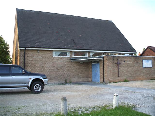
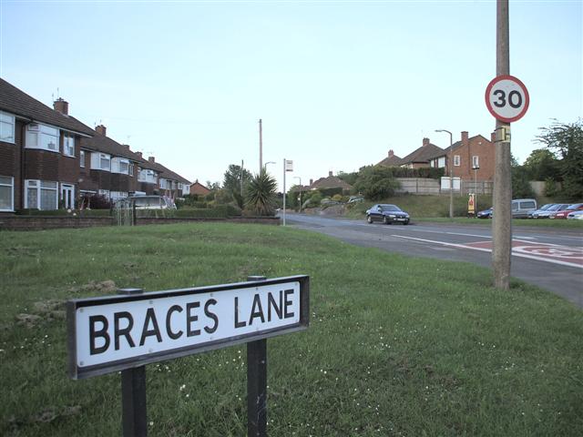
Upper Catshill Images
Images are sourced within 2km of 52.366978/-2.05049 or Grid Reference SO9674. Thanks to Geograph Open Source API. All images are credited.


Upper Catshill is located at Grid Ref: SO9674 (Lat: 52.366978, Lng: -2.05049)
Administrative County: Worcestershire
District: Bromsgrove
Police Authority: West Mercia
What 3 Words
///scarf.beside.backup. Near Barnt Green, Worcestershire
Nearby Locations
Related Wikis

Marlbrook, Worcestershire
Marlbrook is a village in Worcestershire, England. It is located 3 miles north east of Bromsgrove, between Upper Catshill from which it is separated by...

Catshill
Catshill is a village in Worcestershire about 2.5 miles north of Bromsgrove and 10 miles south-west of Birmingham. The parish of Catshill was formed around...

Lydiate Ash
Lydiate Ash is a hamlet in North Worcestershire, England, consisting of a few houses, the road gritting and works depot for Worcestershire County Council...
1997 M42 motorway crash
On 10 March 1997 a multiple-vehicle collision occurred on the M42 motorway near Bromsgrove, Worcestershire, in central England. Three people were killed...
Lickey Grange
Lickey Grange is a Victorian house and estate in the village of Lickey, Bromsgrove District, Worcestershire, near Birmingham, England, where the automobile...

Lickey End
Lickey End is a village in the Bromsgrove district of Worcestershire, England. It is situated just north of Bromsgrove, to the south-east of the junction...
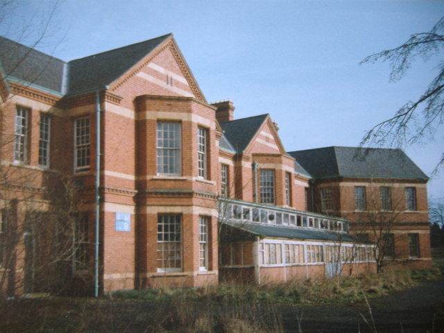
Barnsley Hall Hospital
Barnsley Hall Hospital was a psychiatric facility located in Bromsgrove, Worcestershire. == History == The hospital was based on a 324-acre (131 ha) site...
Fairfield, Worcestershire
Fairfield is a village in the district of Bromsgrove, Worcestershire, England. It is in the civil parish of Belbroughton. The village of Fairfield and...
Nearby Amenities
Located within 500m of 52.366978,-2.05049Have you been to Upper Catshill?
Leave your review of Upper Catshill below (or comments, questions and feedback).