Castle Bromwich

Civil Parish in Warwickshire Solihull

England

Castle Bromwich

The Farthings public house, Castle Bromwich
The Farthings public house, Castle Bromwich Credit: Ian S

Castle Bromwich is a civil parish located in the county of Warwickshire, England. It is situated about 8 miles northeast of Birmingham city center and covers an area of approximately 8 square miles. The parish is primarily a residential area with a population of around 12,000 people.

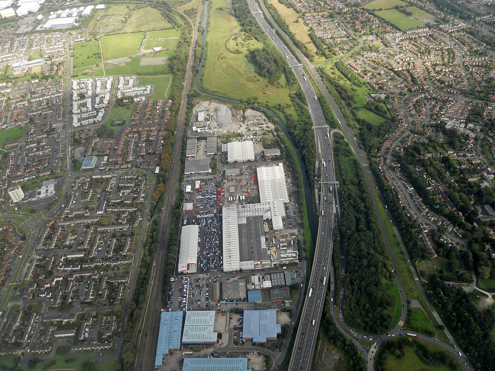
The history of Castle Bromwich dates back to the medieval period when a castle was built on the site. The castle has long since been demolished, but its name still remains. The area developed as a farming community and later became known for its manufacturing industries, particularly in the automotive sector. The famous Castle Bromwich Assembly plant, owned by Jaguar Land Rover, is located here and has been producing luxury vehicles since the 1930s.

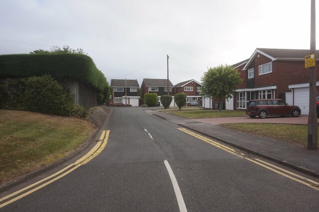
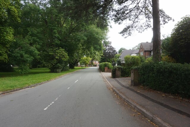
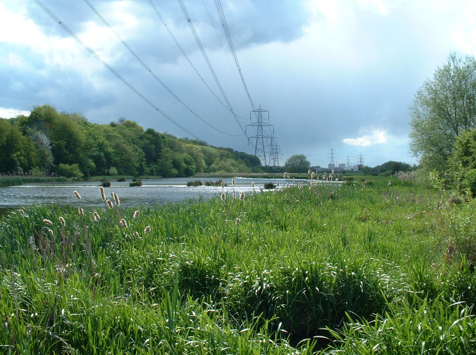
Castle Bromwich is home to a range of amenities and facilities, including schools, shops, and recreational spaces. The parish has several parks and green spaces, such as Castle Bromwich Hall Gardens, which is a Grade II listed garden and a popular tourist attraction. The parish also has a number of sports clubs and facilities, including football, cricket, and tennis clubs.

Transportation in Castle Bromwich is well-connected, with easy access to major road networks, including the M6 and M42 motorways. Additionally, there are regular bus services that connect the parish to nearby towns and cities.

Overall, Castle Bromwich is a thriving residential area with a rich history and a range of amenities, making it an attractive place to live and visit.

If you have any feedback on the listing, please let us know in the comments section below.

Castle Bromwich Images

Images are sourced within 2km of 52.506695/-1.773222 or Grid Reference SP1589. Thanks to Geograph Open Source API. All images are credited.

The Farthings public house, Castle Bromwich
Postbox on Water Orton Road, Castle Bromwich
Water Orton Road, Castle Bromwich
West Avenue from Green Lane, Castle Bromwich
Shops on Green Lane, Castle Bromwich
Auckland Drive, Castle Bromwich
Swift Close off Auckland Drive, Castle Bromwich
Chester Road, Castle Bromwich
Castle Bromwich Shopping, Chester Road
The Dream of the Sphinx, Castle Bromwich There are sphinxes at the bottom of the garden. One can be seen here reposing on a pillar at a corner of the garden wall at Castle Bromwich Hall, in the suburbs of Birmingham & Solihull. The photo was taken from the wooded area outside the walled garden. The sphinx has a double facing her from the opposite corner, some distance away.

The formal gardens to the west of Castle Bromwich Hall were laid out by the Bridgeman family in stages, starting in 1701. Sir John Bridgeman II bought two limestone sphinx statues in 1745 for £30 and installed them with inscriptions. During the 20th century the Bridgeman family ceased living in the Hall; the gardens became overgrown and the walls and buildings decayed. They have been restored since 1985 by the Castle Bromwich Hall Gardens Trust. The Hall itself is now a hotel and, unlike the gardens, is not open to the public. The garden walls were listed by Historic England in 2020; see their description of the site here <span class="nowrap"><a title="https://historicengland.org.uk/listing/the-list/list-entry/1472046" rel="nofollow ugc noopener" href="https://historicengland.org.uk/listing/the-list/list-entry/1472046">Link</a><img style="margin-left:2px;" alt="External link" title="External link - shift click to open in new window" src="https://s1.geograph.org.uk/img/external.png" width="10" height="10"/></span> .
The Dream of the Sphinx, Castle Bromwich
There are sphinxes at the bottom of the garden. One can be seen here reposing on a pillar at a corner of the garden wall at Castle Bromwich Hall, in the suburbs of Birmingham & Solihull. The photo was taken from the wooded area outside the walled garden. The sphinx has a double facing her from the opposite corner, some distance away. The formal gardens to the west of Castle Bromwich Hall were laid out by the Bridgeman family in stages, starting in 1701. Sir John Bridgeman II bought two limestone sphinx statues in 1745 for £30 and installed them with inscriptions. During the 20th century the Bridgeman family ceased living in the Hall; the gardens became overgrown and the walls and buildings decayed. They have been restored since 1985 by the Castle Bromwich Hall Gardens Trust. The Hall itself is now a hotel and, unlike the gardens, is not open to the public. The garden walls were listed by Historic England in 2020; see their description of the site here LinkExternal link .
Bradford Arms Public House, Castle Bromwich
Chester Road, Castle Bromwich
Bradford Arms Public House, Castle Bromwich
Bridgeman Croft off Chester Road, Castle Bromwich
Whateley Green, Castle Bromwich
Westeria Close, Castle Bromwich
Show me another place!

Castle Bromwich is located at Grid Ref: SP1589 (Lat: 52.506695, Lng: -1.773222)

Administrative County: West Midlands

District: Solihull

Police Authority: West Midlands

What 3 Words

///scale.pets.fool. Near Castle Vale, West Midlands

Related Wikis

Whateley Hall

Whateley Hall (not to be confused with Whately Hall in Banbury) was a stately home in the Warwickshire countryside near Castle Bromwich. The house was...

Park Hall Nature Reserve

Park Hall was a Wildlife Trust nature reserve in Birmingham England, until it was taken possession of by HS2. The 40-hectare (99-acre) site lies between...

Castle Bromwich

Castle Bromwich () is a civil parish in the Metropolitan Borough of Solihull in the West Midlands, England. It borders the rest of the borough to the south...

Park Hall Academy

Park Hall Academy (formerly Park Hall School) is a mixed secondary school and sixth form located in Castle Bromwich in the West Midlands of England.Previously...

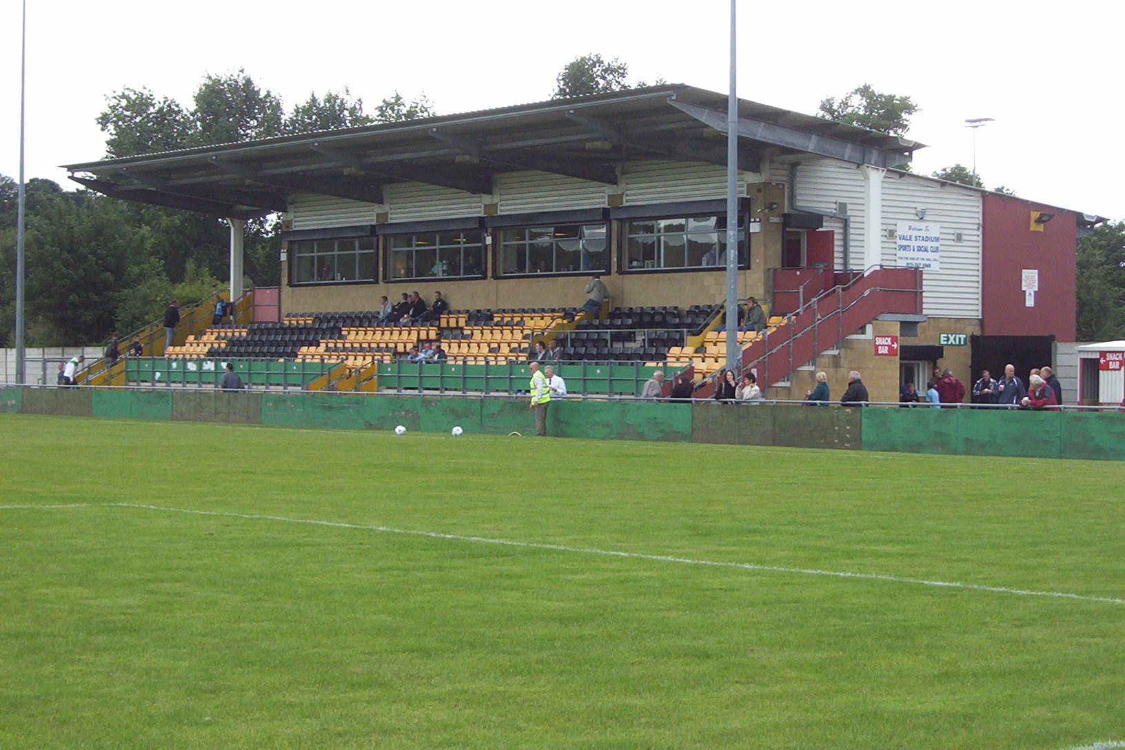
Castle Vale Town F.C.

Castle Vale Town Football Club is a football club based in the Castle Vale area of Birmingham, England. They are currently members of the Midland League...

Shard End

Shard End is an area of Birmingham, England. It is also a ward within the formal district of Hodge Hill. Shard End borders Castle Bromwich to the north...

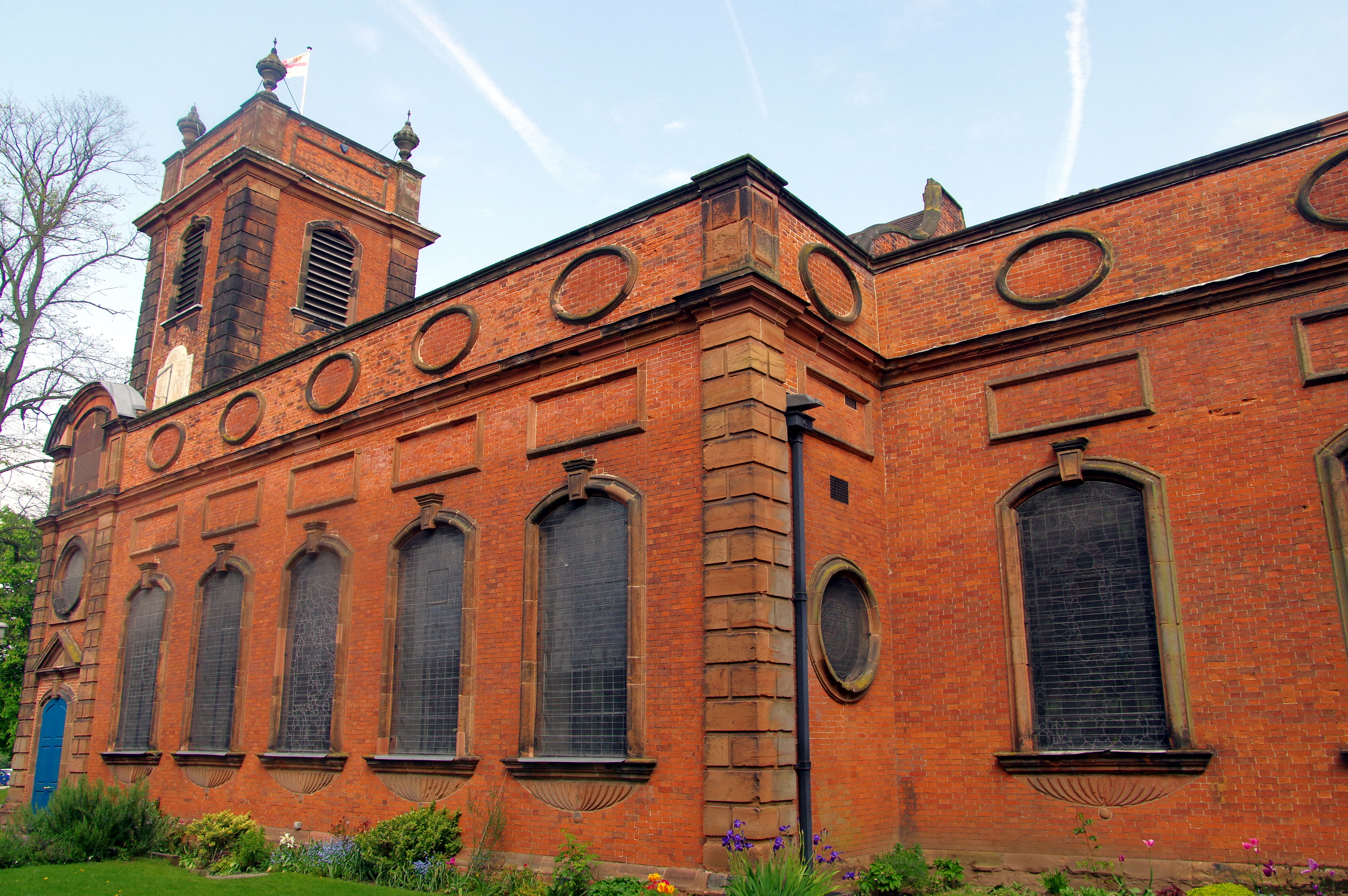
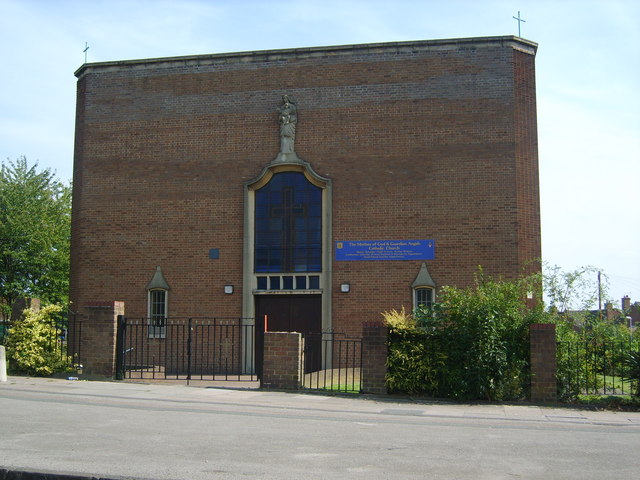
St Mary and St Margaret's Church, Castle Bromwich

St Mary and St Margaret Church, Castle Bromwich is a Grade I listed parish church in the Church of England in Castle Bromwich, Metropolitan Borough of...

Castle Bromwich Hall Gardens

Castle Bromwich Hall Gardens are situated adjacent to the west side of Castle Bromwich Hall, a Jacobean Mansion. They are in the old centre of Castle...

Nearby Amenities

Located within 500m of 52.506695,-1.773222
Source: bing
Traffic Calming: bump
Lat/Long: 52.5103617/-1.7736267
Post Box
Post Box Type: pillar
Ref: B36 1353
Royal Cypher: EIIR
Source: survey
Lat/Long: 52.5091341/-1.7770522
Turning Circle
Source: bing
Lat/Long: 52.506639/-1.7800102
Turning Circle
Lat/Long: 52.5096286/-1.774086
Turning Circle
Source: bing
Lat/Long: 52.5095129/-1.7735457
Turning Circle
Source: bing
Lat/Long: 52.5031517/-1.7761972
Townhall
Arden Hall - Castle Bromwich Parish Council
Source: survey
Lat/Long: 52.5058317/-1.7744333
Police
Source: survey
Lat/Long: 52.5059683/-1.7744976
Turning Circle
Source: bing
Lat/Long: 52.5079258/-1.7676234
Bus Stop
Water Orton Rd / Whateley Green
Bus: yes
Naptan AtcoCode: 43000187501
Naptan Bearing: NE
Naptan BusStopType: MKD
Naptan CommonName: Whateley Green
Naptan Indicator: opp
Naptan NaptanCode: nwmtgpda
Naptan PlusbusZoneRef: BHAMNWS
Naptan Status: ACT
Naptan StopType: BCT
Naptan Street: WATER ORTON RD
Naptan Verified: no
Public Transport: platform
Source: WMCA
Lat/Long: 52.5046294/-1.776843
Bus Stop
Water Orton Rd / Tomlinson Rd
NaPTANAreaCode: 43000185301
Bus: yes
Naptan AtcoCode: 43000185301
Naptan Bearing: SW
Naptan BusStopType: MKD
Naptan CommonName: Tomlinson Rd
Naptan Indicator: adj
Naptan NaptanCode: nwmagmpw
Naptan PlusbusZoneRef: BHAMNWS
Naptan Status: ACT
Naptan StopType: BCT
Naptan Street: WATER ORTON RD
Naptan Towards: Chelmsley Wood
Public Transport: platform
Route Ref: 966
Shelter: yes
Shelter Ref: 806308
Source: WMCA
Lat/Long: 52.5095169/-1.7676072
Bus Stop
Water Orton Rd / Tomlinson Rd
Bus: yes
Naptan AtcoCode: 43000185302
Naptan Bearing: NE
Naptan BusStopType: MKD
Naptan CommonName: Tomlinson Rd
Naptan Indicator: opp
Naptan NaptanCode: nwmagmta
Naptan PlusbusZoneRef: BHAMNWS
Naptan Status: ACT
Naptan StopType: BCT
Naptan Street: WATER ORTON RD
Naptan Towards: Castle Bromwich
Naptan Verified: no
Public Transport: platform
Route Ref: 966
Source: WMCA
Lat/Long: 52.5094844/-1.7678242
Bus Stop
Green Lane / Water Orton Rd
Bus: yes
Naptan AtcoCode: 43000185401
Naptan Bearing: W
Naptan BusStopType: MKD
Naptan CommonName: Water Orton Rd
Naptan Indicator: opp
Naptan NaptanCode: nwmagmtd
Naptan PlusbusZoneRef: BHAMNWS
Naptan Status: ACT
Naptan StopType: BCT
Naptan Street: GREEN LANE
Naptan Towards: Castle Bromwich
Naptan Verified: no
Public Transport: platform
Route Ref: 966
Source: WMCA
Lat/Long: 52.5065969/-1.7697973
Bus Stop
Green Lane / Water Orton Rd
NaPTANAreaCode: 43000185402
Bus: yes
Naptan AtcoCode: 43000185402
Naptan Bearing: E
Naptan BusStopType: MKD
Naptan CommonName: Water Orton Rd
Naptan Indicator: adj
Naptan NaptanCode: nwmagmtg
Naptan PlusbusZoneRef: BHAMNWS
Naptan Status: ACT
Naptan StopType: BCT
Naptan Street: GREEN LANE
Naptan Towards: Chelmsley Wood
Naptan Verified: no
Public Transport: platform
Route Ref: 966
Shelter: yes
Shelter Ref: 806318
Source: WMCA
Lat/Long: 52.5068176/-1.7693031
Bus Stop
Water Orton Rd / Marlborough Rd
NaPTANAreaCode: 43000185501
Bus: yes
Naptan AtcoCode: 43000185501
Naptan Bearing: NE
Naptan BusStopType: MKD
Naptan CommonName: Marlborough Rd
Naptan Indicator: opp
Naptan Landmark: Arden Hall
Naptan NaptanCode: nwmagmtj
Naptan PlusbusZoneRef: BHAMNWS
Naptan Status: ACT
Naptan StopType: BCT
Naptan Street: WATER ORTON RD
Naptan Towards: Castle Bromwich
Public Transport: platform
Shelter: yes
Shelter Ref: 806306
Source: WMCA
Lat/Long: 52.5056501/-1.7739413
Bus Stop
Water Orton Rd / Marlborough Rd
NaPTANAreaCode: 43000185502
Bus: yes
Naptan AtcoCode: 43000185502
Naptan Bearing: SW
Naptan BusStopType: MKD
Naptan CommonName: Marlborough Rd
Naptan Indicator: adj
Naptan Landmark: Arden Hall
Naptan NaptanCode: nwmagmtm
Naptan PlusbusZoneRef: BHAMNWS
Naptan Status: ACT
Naptan StopType: BCT
Naptan Street: WATER ORTON RD
Naptan Towards: Castle Bromwich
Naptan Verified: no
Public Transport: platform
Shelter: yes
Shelter Ref: 806307
Source: WMCA
Lat/Long: 52.5057824/-1.7732717
Bus Stop
Chester Rd / Whateley Green
Bus: yes
Naptan AtcoCode: 43000187302
Naptan Bearing: SE
Naptan BusStopType: MKD
Naptan CommonName: Whateley Green
Naptan Indicator: opp
Naptan NaptanCode: nwmagpap
Naptan PlusbusZoneRef: BHAMNWS
Naptan Status: ACT
Naptan StopType: BCT
Naptan Street: CHESTER RD
Naptan Towards: Chelmsley Wood
Naptan Verified: no
Public Transport: platform
Route Ref: 71;71A
Source: WMCA
Lat/Long: 52.5040364/-1.7770375
Bus Stop
Parkfield Dr / Stoneymoor Drive
NaPTANAreaCode: 43000188301
Bus: yes
Naptan AtcoCode: 43000188301
Naptan Bearing: NE
Naptan BusStopType: MKD
Naptan CommonName: Stoneymoor Drive
Naptan Indicator: opp
Naptan NaptanCode: nwmagpdt
Naptan PlusbusZoneRef: BHAMNWS
Naptan Status: ACT
Naptan StopType: BCT
Naptan Street: PARKFIELD DR
Naptan Towards: Coleshill
Naptan Verified: no
Public Transport: platform
Route Ref: 70;966
Shelter: yes
Shelter Ref: 806320
Source: WMCA
Lat/Long: 52.510248/-1.7739623
Bus Stop
Parkfield Dr / Stoneymoor Drive
NaPTANAreaCode: 43000188302
Bus: yes
Naptan AtcoCode: 43000188302
Naptan Bearing: SW
Naptan BusStopType: MKD
Naptan CommonName: Stoneymoor Drive
Naptan Indicator: adj
Naptan NaptanCode: nwmagpdw
Naptan PlusbusZoneRef: BHAMNWS
Naptan Status: ACT
Naptan StopType: BCT
Naptan Street: PARKFIELD DR
Naptan Towards: Castle Bromwich
Naptan Verified: no
Public Transport: platform
Route Ref: 70;966
Shelter: yes
Shelter Ref: 806319
Source: WMCA
Lat/Long: 52.5100136/-1.7741863
Bus Stop
Parkfield Dr / Flecknoe Close
NaPTANAreaCode: 43000188401
Bus: yes
Naptan AtcoCode: 43000188401
Naptan Bearing: SW
Naptan BusStopType: MKD
Naptan CommonName: Flecknoe Close
Naptan Indicator: opp
Naptan Landmark: The Spitfire
Naptan NaptanCode: nwmagpga
Naptan PlusbusZoneRef: BHAMNWS
Naptan Status: ACT
Naptan StopType: BCT
Naptan Street: PARKFIELD DR
Naptan Towards: Castle Bromwich
Public Transport: platform
Route Ref: 70;966
Shelter: yes
Shelter Ref: 806312
Source: WMCA
Lat/Long: 52.5092645/-1.7767068
Bus Stop
Parkfield Dr / Flecknoe Close
NaPTANAreaCode: 43000188402
Bus: yes
Naptan AtcoCode: 43000188402
Naptan Bearing: NE
Naptan BusStopType: MKD
Naptan CommonName: Flecknoe Close
Naptan Indicator: adj
Naptan Landmark: The Spitfire
Naptan NaptanCode: nwmagpgd
Naptan PlusbusZoneRef: BHAMNWS
Naptan Status: ACT
Naptan StopType: BCT
Naptan Street: PARKFIELD DR
Naptan Towards: Coleshill
Naptan Verified: no
Public Transport: platform
Route Ref: 70;966
Shelter: yes
Shelter Ref: 806313
Source: WMCA
Lat/Long: 52.5094386/-1.7765534
Bus Stop
Beechcroft Rd / Kingsleigh Drive
Bus: yes
Naptan AtcoCode: 43000188501
Naptan Bearing: W
Naptan BusStopType: MKD
Naptan CommonName: Kingsleigh Drive
Naptan Indicator: opp
Naptan NaptanCode: nwmagpgj
Naptan PlusbusZoneRef: BHAMNWS
Naptan Status: ACT
Naptan StopType: BCT
Naptan Street: BEECHCROFT RD
Naptan Towards: Castle Bromwich
Naptan Verified: no
Public Transport: platform
Route Ref: 70;966
Source: WMCA
Lat/Long: 52.5071622/-1.7803515
Post Box
Ref: B36 458
Lat/Long: 52.5045331/-1.7762516
Source: Warwicks Aerial Imagery OGLv2
Traffic Calming: bump
Lat/Long: 52.5069894/-1.7667694
Brand: National Grid
Brand Wikidata: Q1465461
Operator: National Grid Electricity Distribution Plc
Operator Old: Western Power Distribution
Operator Wikidata: Q7988183
Owner: National Grid Electricity Distribution (West Midlands) Plc
Owner Wikidata: Q114397791
Power: substation
Source: visual survey; estimate
Lat/Long: 52.5065194/-1.7702805
Brand: National Grid
Brand Wikidata: Q1465461
Operator: National Grid Electricity Distribution Plc
Operator Old: Western Power Distribution
Operator Wikidata: Q7988183
Owner: National Grid Electricity Distribution (West Midlands) Plc
Owner Wikidata: Q114397791
Power: substation
Source: visual survey; estimate
Lat/Long: 52.506895/-1.7660178
Give Way
Source: Warwicks CC Aerial Imagery 2013
Lat/Long: 52.5022525/-1.7724667
Source: Warwicks Aerial Imagery OGLv2
Traffic Calming: bump
Lat/Long: 52.5069554/-1.7675458
Turning Circle
Source: bing
Lat/Long: 52.5088443/-1.7739012
Addr City: Solihull
Addr Postcode: B36 9SZ
Addr Street: Poundley Close
Lat/Long: 52.5053318/-1.7773923
Bus Stop
Water Orton Rd / Whateley Green
Bus: yes
Naptan AtcoCode: 43000187502
Naptan Bearing: SW
Naptan BusStopType: MKD
Naptan CommonName: Whateley Green
Naptan Indicator: adj
Naptan NaptanCode: nwmwawmp
Naptan Status: ACT
Naptan StopType: BCT
Naptan Street: WATER ORTON RD
Public Transport: platform
Source: WMCA
Lat/Long: 52.5043066/-1.777426
Bus Stop
Chester Rd / Whateley Green
Bus: yes
Naptan AtcoCode: 43000187301
Naptan Bearing: W
Naptan BusStopType: MKD
Naptan CommonName: Whateley Green
Naptan Indicator: adj
Naptan NaptanCode: nwmagpam
Naptan Status: ACT
Naptan StopType: BCT
Naptan Street: CHESTER RD
Naptan Towards: Castle Vale
Public Transport: platform
Route Ref: 71;71A
Source: WMCA
Lat/Long: 52.504106/-1.7785427
Post Office
Parkfield Drive Post Office
Addr City: Birmingham
Addr Housenumber: 4-6
Addr Postcode: B36 9EJ
Addr Street: Parkfield Drive
Opening Hours: Mo-Fr 09:00-18:30; Sa 09:00-17:00; Su 10:00-17:00
Ref Pol Id: 130466
Source: pol_branch_list_2018-02
Lat/Long: 52.5086984/-1.777555
Traffic Calming: bump
Lat/Long: 52.5068705/-1.7663097
Traffic Calming: bump
Lat/Long: 52.5066266/-1.7693843
Post Box
Ref: B36 906
Lat/Long: 52.5071805/-1.7703273
Post Box
Ref: B36 970
Lat/Long: 52.5094169/-1.7675003
Post Box
Ref: B36 696
Lat/Long: 52.5042206/-1.7706852
The Cutting Room
Shop: hairdresser
Lat/Long: 52.5045504/-1.7702185
Post Box
Ref: B36 340
Lat/Long: 52.5025408/-1.7728142
Generator Method: photovoltaic
Generator Output Electricity: yes
Generator Source: solar
Generator Type: solar_photovoltaic_panel
Power: generator
Lat/Long: 52.5058003/-1.7767932
Generator Method: photovoltaic
Generator Output Electricity: yes
Generator Source: solar
Generator Type: solar_photovoltaic_panel
Power: generator
Lat/Long: 52.5067236/-1.7763774
Generator Method: photovoltaic
Generator Output Electricity: yes
Generator Source: solar
Generator Type: solar_photovoltaic_panel
Location: roof
Power: generator
Lat/Long: 52.5065105/-1.7769152
Generator Method: photovoltaic
Generator Output Electricity: yes
Generator Source: solar
Generator Type: solar_photovoltaic_panel
Location: roof
Power: generator
Lat/Long: 52.5090434/-1.7698717
Generator Method: photovoltaic
Generator Output Electricity: yes
Generator Source: solar
Generator Type: solar_photovoltaic_panel
Location: roof
Power: generator
Lat/Long: 52.5095331/-1.7692789
Generator Method: photovoltaic
Generator Output Electricity: yes
Generator Source: solar
Generator Type: solar_photovoltaic_panel
Location: roof
Power: generator
Lat/Long: 52.5093764/-1.7720228
Generator Method: photovoltaic
Generator Output Electricity: yes
Generator Source: solar
Generator Type: solar_photovoltaic_panel
Location: roof
Power: generator
Lat/Long: 52.5093046/-1.772106
Generator Method: photovoltaic
Generator Output Electricity: yes
Generator Source: solar
Generator Type: solar_photovoltaic_panel
Location: roof
Power: generator
Lat/Long: 52.5078321/-1.7777681
Generator Method: photovoltaic
Generator Output Electricity: yes
Generator Source: solar
Generator Type: solar_photovoltaic_panel
Location: roof
Power: generator
Lat/Long: 52.5094548/-1.7768669
Generator Method: photovoltaic
Generator Output Electricity: yes
Generator Source: solar
Generator Type: solar_photovoltaic_panel
Location: roof
Power: generator
Lat/Long: 52.5093013/-1.7774087
Generator Method: photovoltaic
Generator Output Electricity: yes
Generator Source: solar
Generator Type: solar_photovoltaic_panel
Location: roof
Power: generator
Lat/Long: 52.5056093/-1.7763908
Generator Method: photovoltaic
Generator Output Electricity: yes
Generator Source: solar
Generator Type: solar_photovoltaic_panel
Location: roof
Power: generator
Lat/Long: 52.5056395/-1.7762339
Generator Method: photovoltaic
Generator Output Electricity: yes
Generator Source: solar
Generator Type: solar_photovoltaic_panel
Location: roof
Power: generator
Lat/Long: 52.505842/-1.7801848
Generator Method: photovoltaic
Generator Output Electricity: yes
Generator Source: solar
Generator Type: solar_photovoltaic_panel
Location: roof
Power: generator
Lat/Long: 52.5072297/-1.7764914
Generator Method: photovoltaic
Generator Output Electricity: yes
Generator Source: solar
Generator Type: solar_photovoltaic_panel
Location: roof
Power: generator
Lat/Long: 52.505473/-1.7693192
Generator Method: photovoltaic
Generator Output Electricity: yes
Generator Source: solar
Generator Type: solar_photovoltaic_panel
Location: roof
Power: generator
Lat/Long: 52.5065505/-1.7789832
Generator Method: photovoltaic
Generator Output Electricity: yes
Generator Source: solar
Generator Type: solar_photovoltaic_panel
Location: roof
Power: generator
Lat/Long: 52.5062011/-1.7784414
Generator Method: photovoltaic
Generator Output Electricity: yes
Generator Source: solar
Generator Type: solar_photovoltaic_panel
Location: roof
Power: generator
Lat/Long: 52.5058828/-1.778318
Generator Method: photovoltaic
Generator Output Electricity: yes
Generator Source: solar
Generator Type: solar_photovoltaic_panel
Location: roof
Power: generator
Lat/Long: 52.5053979/-1.7751262
Generator Method: photovoltaic
Generator Output Electricity: yes
Generator Source: solar
Generator Type: solar_photovoltaic_panel
Location: roof
Power: generator
Lat/Long: 52.5045587/-1.7749411
Generator Method: photovoltaic
Generator Output Electricity: yes
Generator Source: solar
Generator Type: solar_photovoltaic_panel
Location: roof
Power: generator
Lat/Long: 52.5031709/-1.7742223
Barrier: cycle_barrier
Lat/Long: 52.5063478/-1.775405
Generator Method: photovoltaic
Generator Output Electricity: yes
Generator Source: solar
Generator Type: solar_photovoltaic_panel
Location: roof
Power: generator
Lat/Long: 52.5101012/-1.7688538
Generator Method: photovoltaic
Generator Output Electricity: yes
Generator Source: solar
Generator Type: solar_photovoltaic_panel
Location: roof
Power: generator
Lat/Long: 52.5093838/-1.7717412
Generator Method: photovoltaic
Generator Output Electricity: yes
Generator Source: solar
Generator Type: solar_photovoltaic_panel
Location: roof
Power: generator
Lat/Long: 52.509769/-1.7715843
Generator Method: photovoltaic
Generator Output Electricity: yes
Generator Source: solar
Generator Type: solar_photovoltaic_panel
Location: roof
Power: generator
Lat/Long: 52.5100115/-1.7728369
Generator Method: photovoltaic
Generator Output Electricity: yes
Generator Source: solar
Generator Type: solar_photovoltaic_panel
Location: roof
Power: generator
Lat/Long: 52.5100449/-1.7728798
Travelodge
Addr City: Solihull
Addr Postcode: B36 0AG
Addr Street: Chester Road
Brand: Travelodge
Brand Wikidata: Q9361374
Brand Wikipedia: en:Travelodge UK
Fhrs Authority: Solihull
Fhrs Id: 523466
Fhrs Local Authority Id: 108480
Internet Access: wlan
Internet Access Fee: customers
Internet Access Ssid: Travelodge WiFi
Tourism: hotel
Website: https://www.travelodge.co.uk/hotels/452/Birmingham-Castle-Bromwich-hotel
Lat/Long: 52.5024558/-1.7749545
Bleed Control Kit
Emergency: bleed_control_kit
Note: precise location needed
Operator: West Midlands Ambulance Service
Source: West Midlands Police & Crime Comissioner
Lat/Long: 52.5070142/-1.7699817
The data included in this document is from www.openstreetmap.org. The data is made available under ODbL.

Have you been to Castle Bromwich?

Leave your review of Castle Bromwich below (or comments, questions and feedback).