Castle Bolton with East and West Bolton

Civil Parish in Yorkshire Richmondshire

England

Castle Bolton with East and West Bolton

Above Carperby One of several Landrover tracks which make for easy walking over bleak moorlands.
Above Carperby Credit: Colin Gregory

Castle Bolton is a historic fortress located in East and West Bolton, Yorkshire. Situated in the civil parish of Bolton, this castle holds significant historical and architectural importance. The castle, built in the 14th century, is perched on a commanding position overlooking the scenic countryside.

The castle consists of a rectangular courtyard surrounded by a fortified curtain wall. It features a five-story keep and a range of buildings, including a chapel, kitchen, and living quarters. The architecture of the castle reflects the medieval period, with thick stone walls and small windows.

One of the notable features of Castle Bolton is the impressive 14th-century tower, known as the Scrope Tower. This tower stands tall at 100 feet and offers breathtaking views of the surrounding landscape. It is believed that Mary, Queen of Scots, was held captive in this tower during her imprisonment in the 16th century.

Visitors to Castle Bolton can explore the various rooms and chambers, including the Great Chamber, which boasts a beautifully decorated ceiling and an impressive fireplace. The castle also houses a museum that displays a collection of artifacts related to its history.

Surrounded by picturesque gardens and rolling hills, Castle Bolton provides a picturesque setting for visitors to step back in time and experience the medieval era. The castle and its grounds are open to the public, offering guided tours and events throughout the year.

If you have any feedback on the listing, please let us know in the comments section below.

Castle Bolton with East and West Bolton Images

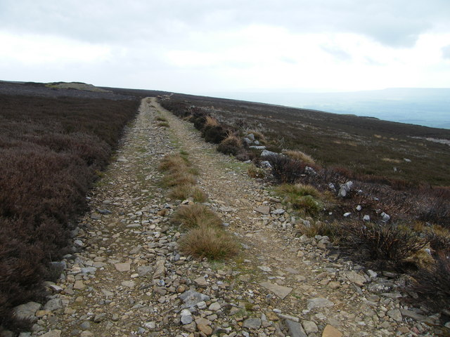
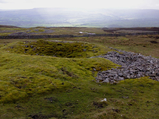
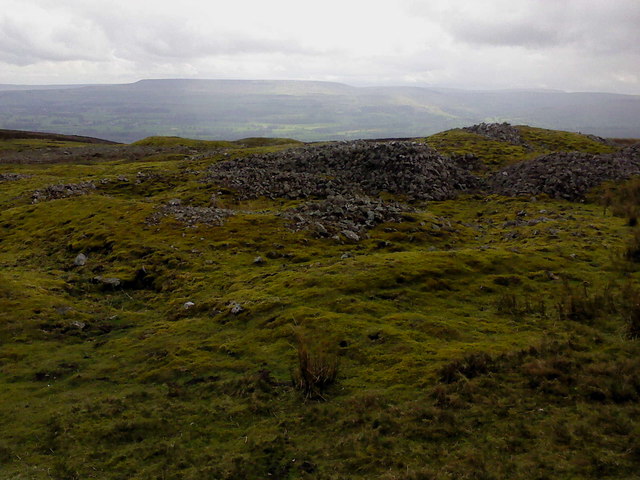
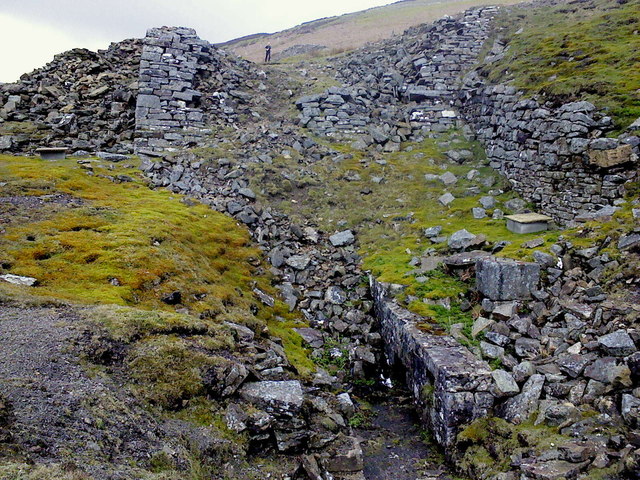
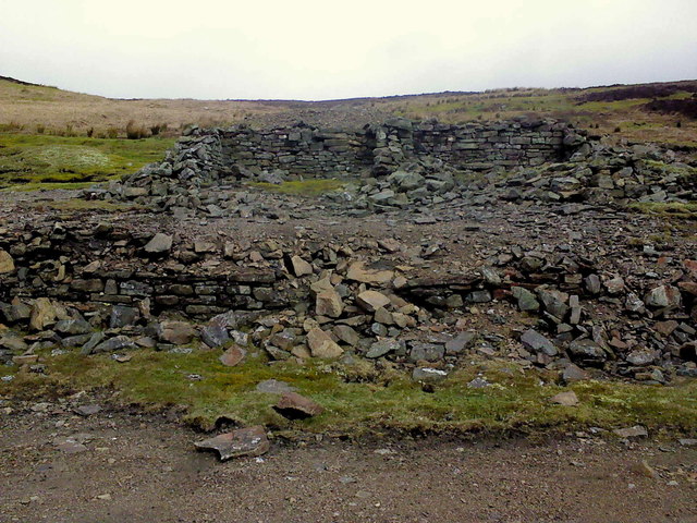
Images are sourced within 2km of 54.336796/-1.973421 or Grid Reference SE0193. Thanks to Geograph Open Source API. All images are credited.

Above Carperby One of several Landrover tracks which make for easy walking over bleak moorlands.
Above Carperby
One of several Landrover tracks which make for easy walking over bleak moorlands.
Bell Pits on Bobscar Rake One of several old lead mine shafts on East Bolton Moor, part of the Bobscar Mine which stretches over the moor on a North-South axis.
Bell Pits on Bobscar Rake
One of several old lead mine shafts on East Bolton Moor, part of the Bobscar Mine which stretches over the moor on a North-South axis.
Shafts and Spoil More old shafts on Bobscar Rake where the vein cuts Rowantree Scar. This mine was recorded by Leland in 1546 for Lord Scrope, of Castle Bolton. In the distance, on the farside of Wensleydale is Penhill.
Shafts and Spoil
More old shafts on Bobscar Rake where the vein cuts Rowantree Scar. This mine was recorded by Leland in 1546 for Lord Scrope, of Castle Bolton. In the distance, on the farside of Wensleydale is Penhill.
Apedale Mine The wheelpit from the new crushing mill, built in 1870 following the sinking of a new shaft at Apedale Mine.
Apedale Mine
The wheelpit from the new crushing mill, built in 1870 following the sinking of a new shaft at Apedale Mine.
Dressing Floor & Bouse Teams Part of the Apedale Lead Mine.
Dressing Floor & Bouse Teams
Part of the Apedale Lead Mine.
Mine Level near Apedale Beck The level was covered over by these wooden posts and has recently been dug out, judging by the colour of the spoil around the entrance.
Mine Level near Apedale Beck
The level was covered over by these wooden posts and has recently been dug out, judging by the colour of the spoil around the entrance.
Old Hush, Apedale Head Mine Apedale Head Mine had its own community of houses for the miners working around here. The mine was begun in the 1760's and worked continuously until 1883.
Old Hush, Apedale Head Mine
Apedale Head Mine had its own community of houses for the miners working around here. The mine was begun in the 1760's and worked continuously until 1883.
Apedale Looking SE across Apedale.
Apedale
Looking SE across Apedale.
Footbridge and Ford West Bolton
Gate on footpath at Bolton West Park
Moorland near Dent's Houses View South.
Moorland near Dent's Houses
View South.
Moorland near Dent's Houses View West.
Moorland near Dent's Houses
View West.
Apedale Beck
Apedale Beck
Pool on Apedale Beck
Grouse Butt, Greets Hill
West Bolton Moor On the Public Bridleway way from Reeth to Castle Bolton.
West Bolton Moor
On the Public Bridleway way from Reeth to Castle Bolton.
West Bolton Moor View towards Apedale.
West Bolton Moor
View towards Apedale.
Approaching Dent's Houses
Show me another place!

Castle Bolton with East and West Bolton is located at Grid Ref: SE0193 (Lat: 54.336796, Lng: -1.973421)

Division: North Riding

Administrative County: North Yorkshire

District: Richmondshire

Police Authority: North Yorkshire

What 3 Words

///loopholes.announced.rang. Near Leyburn, North Yorkshire

Related Wikis

St Oswald's Church, Castle Bolton

St Oswald's Church, Castle Bolton is a Grade II* listed parish church in the Church of England: 106  located in Castle Bolton, North Yorkshire. == History... ==

Castle Bolton

Castle Bolton is a village in North Yorkshire, England. It is in Wensleydale, one of the Yorkshire Dales. The village takes its name from Bolton Castle...

Bolton Castle

Bolton Castle is a 14th-century castle located in Wensleydale, Yorkshire, England (grid reference SE03379183). The nearby village of Castle Bolton takes...

Redmire

Redmire is a village and civil parish in North Yorkshire, England. It is about 4 miles (6.4 km) west of Leyburn in Wensleydale in the Yorkshire Dales....

Nearby Amenities

Located within 500m of 54.336796,-1.973421
Bobscar Mine
Historic: mine
Source: NPE
Lat/Long: 54.3401284/-1.9749098
Bobscar Rake
Place: locality
Source: NPE
Lat/Long: 54.3364211/-1.9689409
Disused: yes
Historic: mine_shaft
Man Made: mineshaft
Source: NPE
Lat/Long: 54.3401284/-1.9765406
Disused: yes
Historic: mine_shaft
Man Made: mineshaft
Source: NPE
Lat/Long: 54.338277/-1.9751244
Hunting Stand
Hunting Stand: grouse_butt
Source: aerial imagery
Lat/Long: 54.3358672/-1.9733022
Hunting Stand
Hunting Stand: grouse_butt
Source: aerial imagery
Lat/Long: 54.3362808/-1.9735186
Hunting Stand
Hunting Stand: grouse_butt
Source: aerial imagery
Lat/Long: 54.3367026/-1.9737214
Hunting Stand
Hunting Stand: grouse_butt
Source: aerial imagery
Lat/Long: 54.3371199/-1.9739383
The data included in this document is from www.openstreetmap.org. The data is made available under ODbL.

Have you been to Castle Bolton with East and West Bolton?

Leave your review of Castle Bolton with East and West Bolton below (or comments, questions and feedback).