Carlton

Civil Parish in Yorkshire Selby

England

Carlton

Hanger Lane, Carlton
Hanger Lane, Carlton Credit: David Brown

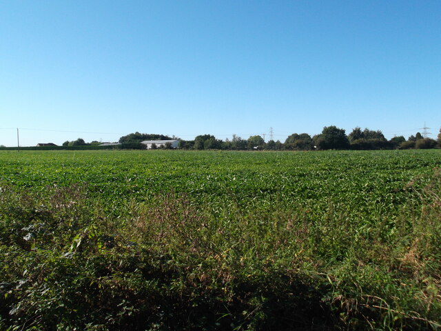
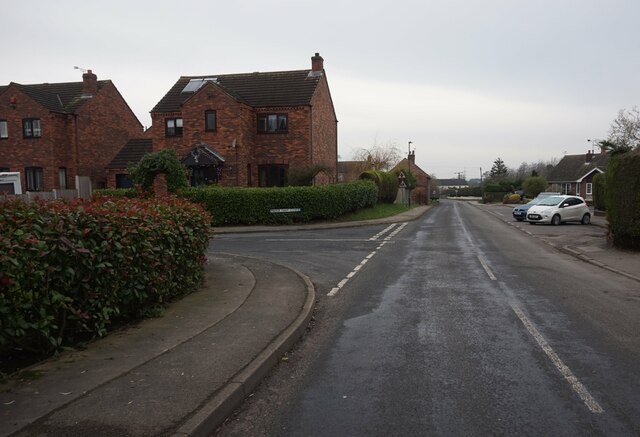
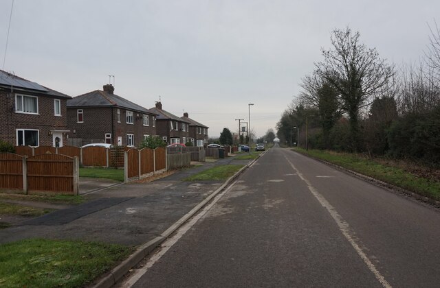
Carlton is a civil parish located in the picturesque region of Yorkshire, England. Situated in the district of Selby, it is a small village with a population of around 400 residents. The village is nestled in a rural setting, surrounded by rolling hills and scenic countryside.

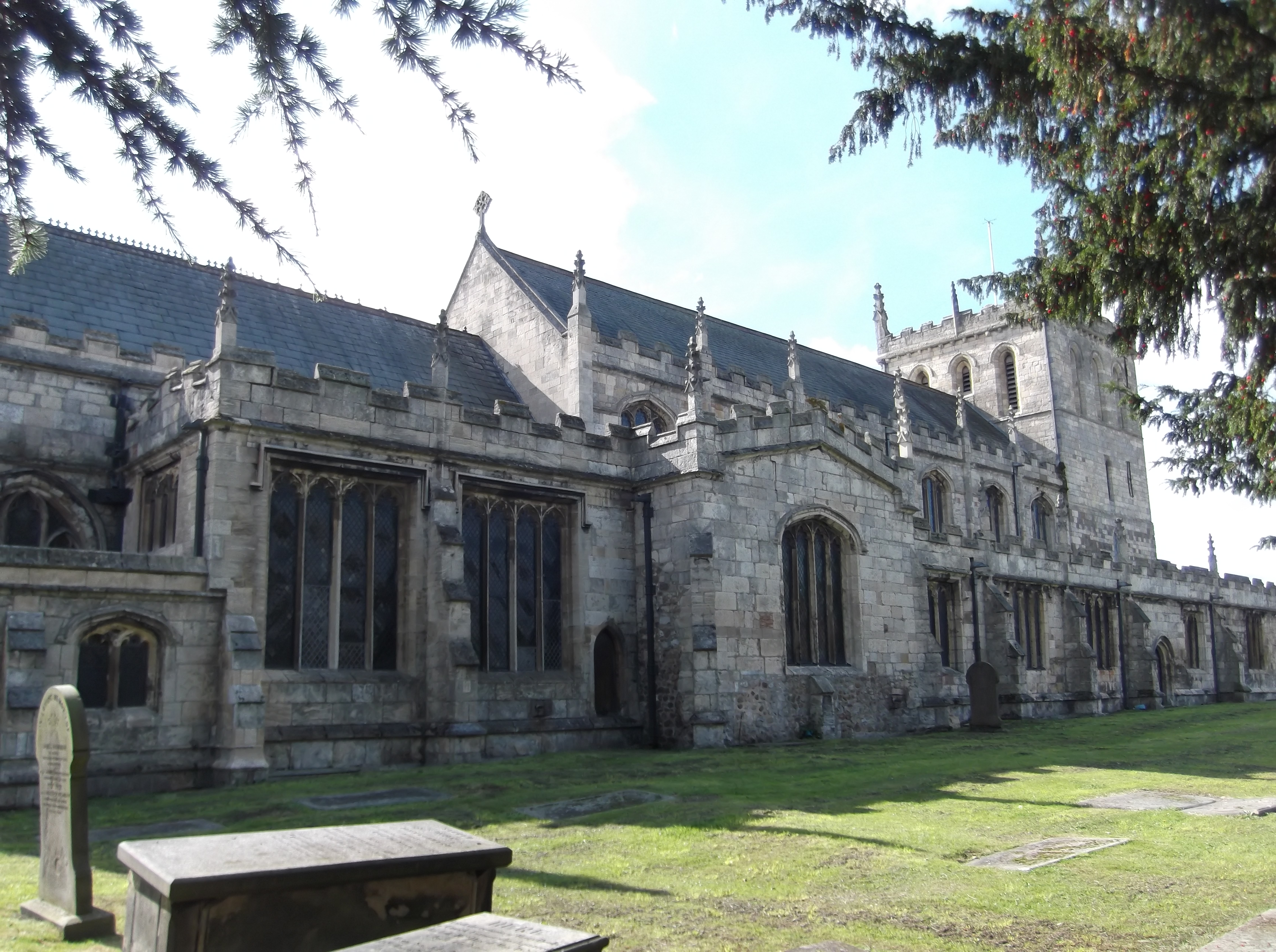
The history of Carlton dates back to medieval times, and it still retains much of its traditional charm. The village is known for its well-preserved historic buildings, including the Grade II listed St. Mary's Church, which dates back to the 12th century. The church is a prominent feature of the village and attracts visitors from near and far.

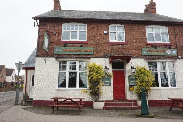
Despite its small size, Carlton offers a range of amenities for its residents. There is a local primary school, providing education for children in the area. The village also has a post office, a small convenience store, and a pub, which serves as a social hub for the community.

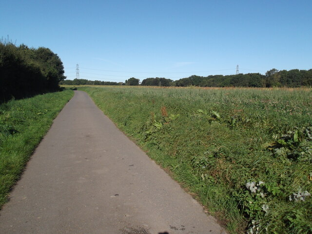
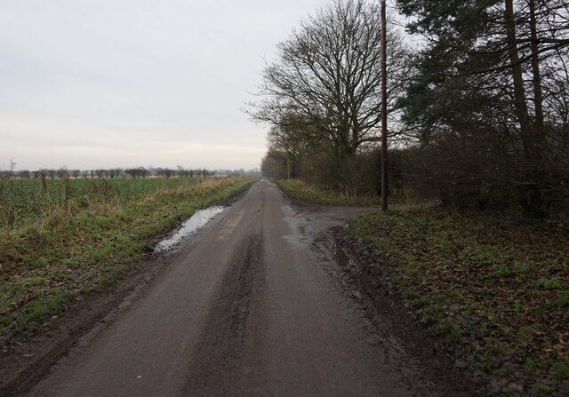
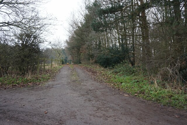
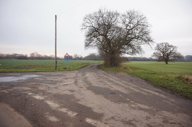
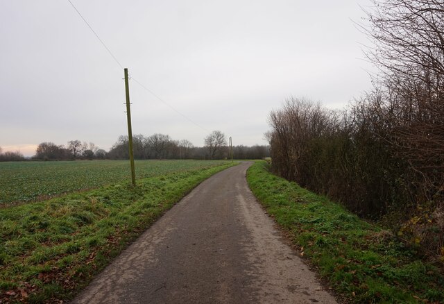
For outdoor enthusiasts, Carlton is an ideal location. The village is surrounded by beautiful countryside, making it perfect for hiking, cycling, and exploring nature. The nearby River Ouse offers opportunities for fishing and boating.

Overall, Carlton is a quintessential Yorkshire village, offering a peaceful and idyllic lifestyle. With its rich history, stunning landscapes, and close-knit community, it is a place that residents and visitors alike can appreciate and enjoy.

If you have any feedback on the listing, please let us know in the comments section below.
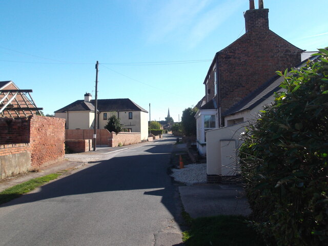
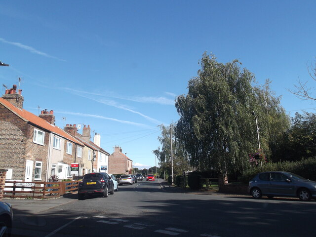
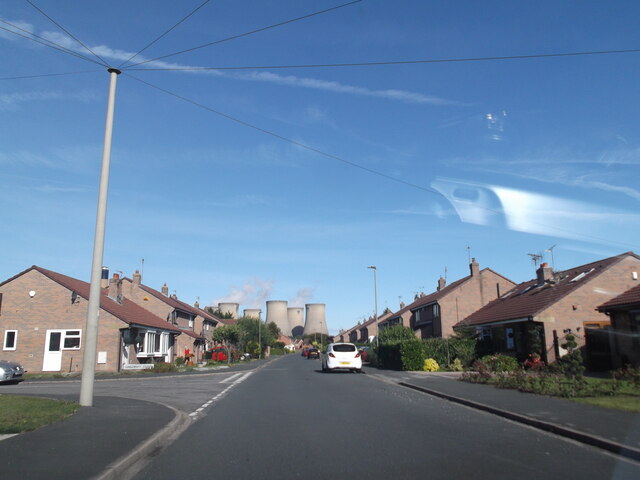
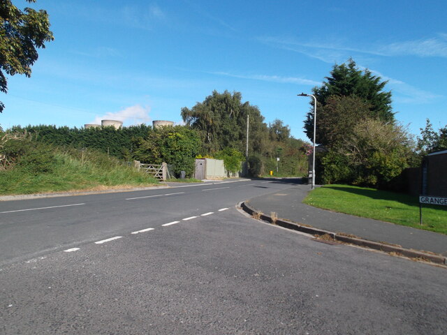
Carlton Images

Images are sourced within 2km of 53.711354/-1.024069 or Grid Reference SE6424. Thanks to Geograph Open Source API. All images are credited.

Hanger Lane, Carlton
Fields and farm buildings near Carlton
Level crossing on Hanger Lane
Harvested field with glasshouses in the distance
The ditch is almost dry at this time of year
Claypit Lane
Claypit Lane
Claypit Lane Drax dominates
Claypit Lane
Drax dominates
Low Street, Carlton
Low Street, Carlton
Brigg Lane, Camblesforth
Pinewood Drive, Camblesforth
Brigg Lane, Camblesforth
Hepworth Lane, Carlton
Foresters Arms public house High Street, Carlton.
Foresters Arms public house
High Street, Carlton.
Mill Lane, Carlton
Mill Lane, Carlton
Mill Lane towards Wood Lane, Newland
Entrance to Park Cottage off Mill Lane, Carlton
Ins Lane off Mill Lane, Carlton
Ings Lane off Mill Lane, Carlton
Show me another place!

Carlton is located at Grid Ref: SE6424 (Lat: 53.711354, Lng: -1.024069)

Division: West Riding

Administrative County: North Yorkshire

District: Selby

Police Authority: North Yorkshire

What 3 Words

///soap.goggles.overgrown. Near Camblesforth, North Yorkshire

Nearby Locations

Carlton Carlton

Related Wikis

Carlton, Selby

Carlton is a village and civil parish in southern North Yorkshire, England. The village is situated approximately 5 miles (8 km) south-east of the town...

Holy Family Catholic High School, Carlton

Holy Family Catholic High School is a coeducational Roman Catholic secondary school located in Carlton in the Selby District of North Yorkshire, England...

Carlton Towers

Carlton Towers in the civil parish of Carlton, 5 miles (8 km) south-east of Selby, North Yorkshire, England, is a very large Grade I listed country house...

Carlton Towers railway station

Carlton Towers railway station served the village of Carlton, Selby, England from 1885 to 1959 on the Hull and Barnsley Railway. == History == The station...

Snaith and Cowick

Snaith and Cowick is a civil parish in the East Riding of Yorkshire, England. It is situated approximately 6 miles (9.7 km) west of the town of Goole and...

Snaith railway station

Snaith railway station is a railway station that serves the market town of Snaith in the East Riding of Yorkshire, England. It is located 26 miles (42...

Camblesforth

Camblesforth is a village and civil parish in the Selby District of North Yorkshire, England. According to the 2001 Census the civil parish had a population...

Snaith Priory

Snaith Priory was a Benedictine priory in Snaith, within the East Riding of Yorkshire, England. The priory was located at the Church of St Lawrence in...

Nearby Amenities

Located within 500m of 53.711354,-1.024069
Carlton
Created By: Potlatch 0.10f
Is In: Selby, North Yorkshire, UK
Place: village
Lat/Long: 53.7085041/-1.0218881
Fast Food
Frying Nemo
Cuisine: fish_and_chips
Website: http://www.forresters-arms.com/
Lat/Long: 53.7100183/-1.0196604
Pub
Foresters Arms
Accommodation: hotel
Internet Access: wlan
Website: http://www.forresters-arms.com/
Lat/Long: 53.7102618/-1.0197911
Post Box
Post Box Type: lamp
Ref: DN14 1
Lat/Long: 53.712295/-1.0183693
Power: tower
Lat/Long: 53.7121465/-1.0310083
Power: tower
Lat/Long: 53.7139891/-1.0268713
Turning Circle
Lat/Long: 53.7081332/-1.0213842
Turning Circle
Lat/Long: 53.7088211/-1.0252969
Turning Circle
Lat/Long: 53.7096045/-1.0249269
Turning Circle
Lat/Long: 53.7117965/-1.0166563
Turning Circle
Lat/Long: 53.7119803/-1.0178875
Foresters Arms
Tourism: hotel
Lat/Long: 53.7102228/-1.0197688
Post Box
Post Box Type: pillar
Ref: DN14 48
Royal Cypher: EIIR
Royal Cypher Wikidata: Q33102113
Lat/Long: 53.709344/-1.0205478
Noexit: yes
Lat/Long: 53.7121439/-1.0211288
Carlton War Memorial
Historic: memorial
Material: stone
Memorial: war_memorial
Operator: Carlton Parish Council
Lat/Long: 53.7097309/-1.0199347
Generator Method: photovoltaic
Generator Output Electricity: yes
Generator Source: solar
Generator Type: solar_photovoltaic_panel
Power: generator
Lat/Long: 53.7125677/-1.0240626
Generator Method: photovoltaic
Generator Output Electricity: yes
Generator Source: solar
Generator Type: solar_photovoltaic_panel
Power: generator
Lat/Long: 53.7120073/-1.0206046
Generator Method: photovoltaic
Generator Output Electricity: yes
Generator Source: solar
Generator Type: solar_photovoltaic_panel
Power: generator
Lat/Long: 53.7120088/-1.0207462
Generator Method: photovoltaic
Generator Output Electricity: yes
Generator Source: solar
Generator Type: solar_photovoltaic_panel
Power: generator
Lat/Long: 53.7120198/-1.0208931
Generator Method: photovoltaic
Generator Output Electricity: yes
Generator Source: solar
Generator Type: solar_photovoltaic_panel
Power: generator
Lat/Long: 53.7120214/-1.0210408
Generator Method: photovoltaic
Generator Output Electricity: yes
Generator Source: solar
Generator Type: solar_photovoltaic_panel
Power: generator
Lat/Long: 53.7124266/-1.0205465
Generator Method: photovoltaic
Generator Output Electricity: yes
Generator Source: solar
Generator Type: solar_photovoltaic_panel
Power: generator
Lat/Long: 53.7124275/-1.020414
Bus Stop
Bus: yes
Naptan AtcoCode: 3200YNA00096
Naptan NaptanCode: 32000096
Public Transport: platform
Lat/Long: 53.7117789/-1.0195503
Public Transport: stop_position
Lat/Long: 53.7117755/-1.0196693
Generator Method: photovoltaic
Generator Output Electricity: yes
Generator Source: solar
Generator Type: solar_photovoltaic_panel
Power: generator
Lat/Long: 53.7131926/-1.023563
Noexit: yes
Lat/Long: 53.7121558/-1.0210031
Fuel
Carlton Service Station
Lat/Long: 53.7129867/-1.0193541
Generator Method: photovoltaic
Generator Output Electricity: yes
Generator Source: solar
Generator Type: solar_photovoltaic_panel
Power: generator
Lat/Long: 53.7110321/-1.021542
Generator Method: photovoltaic
Generator Output Electricity: yes
Generator Source: solar
Generator Type: solar_photovoltaic_panel
Power: generator
Lat/Long: 53.710991/-1.0218414
Generator Method: photovoltaic
Generator Output Electricity: yes
Generator Source: solar
Generator Type: solar_photovoltaic_panel
Power: generator
Lat/Long: 53.7112047/-1.0219099
Entrance: yes
Lat/Long: 53.7084375/-1.0231048
Defibrillator
Defibrillator Location: outside Carlton Village Hall
Emergency: defibrillator
Indoor: no
Lat/Long: 53.708439/-1.0231692
The data included in this document is from www.openstreetmap.org. The data is made available under ODbL.

Have you been to Carlton?

Leave your review of Carlton below (or comments, questions and feedback).