Carlton

Civil Parish in Cambridgeshire South Cambridgeshire

England

Carlton

Bridleway to Grange Road The start of a track which ends at the road from Weston Colville to Dullingham, a mile and a half away.
Bridleway to Grange Road Credit: John Sutton

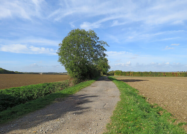
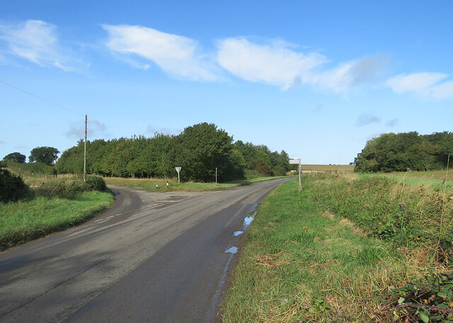
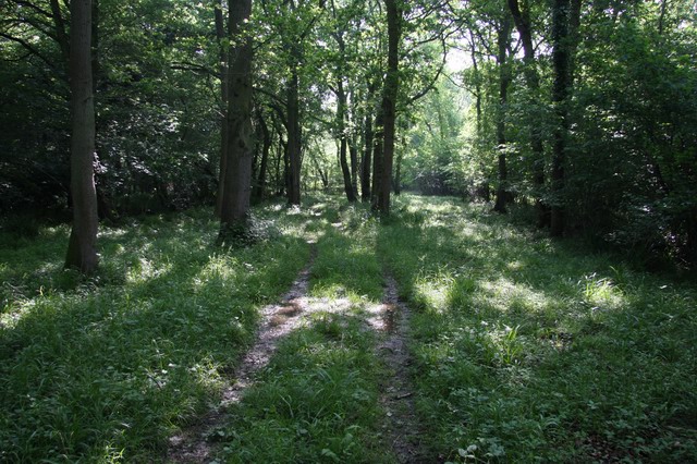
Carlton is a civil parish located in the county of Cambridgeshire, England. Situated approximately 5 miles northeast of the town of Cambridge, Carlton covers an area of about 4 square miles. The parish is predominantly rural, with vast expanses of farmland and open countryside.

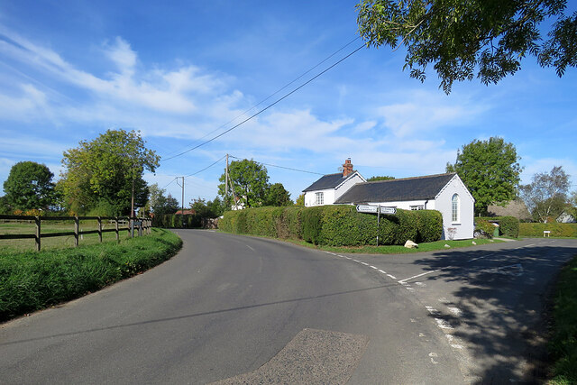
The village of Carlton itself is small, with a population of around 200 residents. It is surrounded by picturesque landscapes, offering a peaceful and tranquil environment for its inhabitants. The village features a mix of traditional cottages, farmhouses, and newer residential properties.

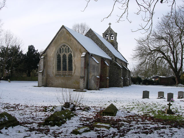
Despite its small size, Carlton has a strong sense of community. It boasts a village hall, which serves as a hub for various social and recreational activities. The village also has a local church, St Peter's, which dates back to the 13th century and is known for its beautiful architecture.

The economy of Carlton is primarily based on agriculture, with farming being the predominant occupation in the area. The fertile soil and favorable climate make it an ideal location for arable farming, with crops such as wheat, barley, and oilseed rape being cultivated.

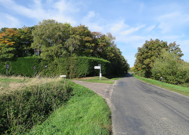
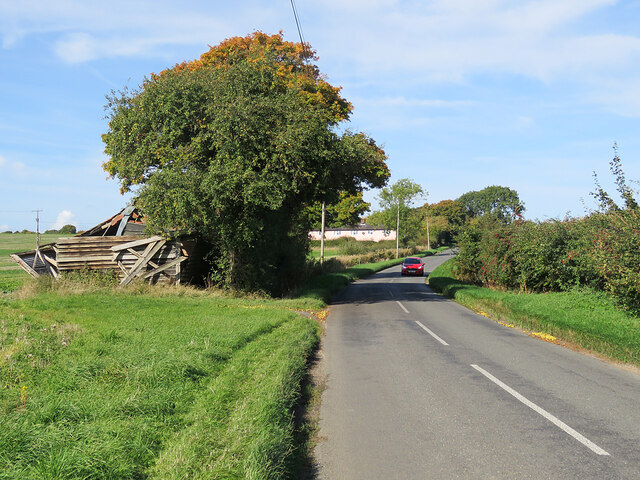
Carlton is well-connected to nearby towns and cities, with good transport links. The A14 road runs close to the parish, providing easy access to Cambridge and other major cities. Additionally, public transportation in the form of buses serves the area, connecting it to surrounding towns.

In summary, Carlton is a peaceful and close-knit civil parish in Cambridgeshire, with a strong agricultural heritage and a tight-knit community. Its scenic countryside and convenient location make it an attractive place to live for those seeking a rural lifestyle.

If you have any feedback on the listing, please let us know in the comments section below.

Carlton Images

Images are sourced within 2km of 52.15033/0.39181 or Grid Reference TL6352. Thanks to Geograph Open Source API. All images are credited.

Bridleway to Grange Road The start of a track which ends at the road from Weston Colville to Dullingham, a mile and a half away.
Bridleway to Grange Road
The start of a track which ends at the road from Weston Colville to Dullingham, a mile and a half away.
Towards Weston Colville on Brinkley Road This is the winding B1052, between Willingham Green and Weston Colville, photographed on a bright October morning.
Towards Weston Colville on Brinkley Road
This is the winding B1052, between Willingham Green and Weston Colville, photographed on a bright October morning.
Cottages at Willingham Green A hamlet between Weston Colville and Brinkley (ahead) in the gentle hills of East Cambridgeshire.
Cottages at Willingham Green
A hamlet between Weston Colville and Brinkley (ahead) in the gentle hills of East Cambridgeshire.
Willingham Green Road This is a hamlet in East Cambridgeshire. The road leads to Carlton and on into Suffolk.
Willingham Green Road
This is a hamlet in East Cambridgeshire. The road leads to Carlton and on into Suffolk.
The start of a footpath at Willingham Green This is part of a complex network of footpaths linking Carlton, Brinkley and Weston Green.
The start of a footpath at Willingham Green
This is part of a complex network of footpaths linking Carlton, Brinkley and Weston Green.
Turn left for Willingham Green A turn off the road from Carlton to Brinkley (ahead), photographed on a sunny morning in early autumn.
Turn left for Willingham Green
A turn off the road from Carlton to Brinkley (ahead), photographed on a sunny morning in early autumn.
Collapsed shed, fallen apples, pink cottages and a red car Near Raynor's Bridge on the undulating road from Carlton to Brinkley (ahead). The pink row is Little Low Cottages.

Keith Edkins was here in 2018: <a href="https://www.geograph.org.uk/photo/5922622">TL6353 : Old shed at Raynor Bridge</a>.
Collapsed shed, fallen apples, pink cottages and a red car
Near Raynor's Bridge on the undulating road from Carlton to Brinkley (ahead). The pink row is Little Low Cottages. Keith Edkins was here in 2018: TL6353 : Old shed at Raynor Bridge.
Carlton: a cottage on Brinkley Road In the valley of the River Stour, which rises on nearby Wratting Common. The original parts of the Grade II listed cottage were built in the 18th century.
Carlton: a cottage on Brinkley Road
In the valley of the River Stour, which rises on nearby Wratting Common. The original parts of the Grade II listed cottage were built in the 18th century.
Carlton Hill: across the Stour Valley John Constable's Stour is a Suffolk river, but it rises not far from here, at Wratting Common near Weston Colville in the hills of East Cambridgeshire and reaches the sea at Manningtree in Essex. <a href="https://www.geograph.org.uk/photo/7307887">TL6453 : Carlton: a cottage on Brinkley Road</a> is a closer look at the house in the centre middle distance.
Carlton Hill: across the Stour Valley
John Constable's Stour is a Suffolk river, but it rises not far from here, at Wratting Common near Weston Colville in the hills of East Cambridgeshire and reaches the sea at Manningtree in Essex. TL6453 : Carlton: a cottage on Brinkley Road is a closer look at the house in the centre middle distance.
Carlton: former school and school house This is where Church Road, Brinkley Road (left) and Acre Road (right) meet. The picture was taken on a sunny October morning when only some trees' leaves had changed colour.
Carlton: former school and school house
This is where Church Road, Brinkley Road (left) and Acre Road (right) meet. The picture was taken on a sunny October morning when only some trees' leaves had changed colour.
Carlton: houses and path on Church Road Looking towards Carlton Hill at the north end of this straggling Cambridgeshire village.
Carlton: houses and path on Church Road
Looking towards Carlton Hill at the north end of this straggling Cambridgeshire village.
Carlton: white walls on Church Street Looking towards the centre of the village on a bright October morning.
Carlton: white walls on Church Street
Looking towards the centre of the village on a bright October morning.
Carlton: churchyard light and shade Taken from shaded Carlton Green Road on a sunny October morning. St Peter's is a small and rewarding church: see, for instance, <a href="https://www.geograph.org.uk/photo/3143308">TL6452 : Carlton: St Peter - font</a>, <a href="https://www.geograph.org.uk/photo/3143323">TL6452 : Carlton: St Peter - south window</a> and <a href="https://www.geograph.org.uk/photo/3143339">TL6452 : Carlton: St Peter - interior</a>, taken ten years before.
Carlton: churchyard light and shade
Taken from shaded Carlton Green Road on a sunny October morning. St Peter's is a small and rewarding church: see, for instance, TL6452 : Carlton: St Peter - font, TL6452 : Carlton: St Peter - south window and TL6452 : Carlton: St Peter - interior, taken ten years before.
Autumn rolling A tractor pulling a huge disc roller, photographed from the road from Carlton Green to Carlton on a sunny October morning.
Autumn rolling
A tractor pulling a huge disc roller, photographed from the road from Carlton Green to Carlton on a sunny October morning.
On the road to Carlton Between Carlton Green and Carlton on a sunny October morning.
On the road to Carlton
Between Carlton Green and Carlton on a sunny October morning.
Carlton Green: once a pub The red-roofed cottage was once a public house.
Carlton Green: once a pub
The red-roofed cottage was once a public house.
Towards Carlton Green A straight stretch of the winding road from Little Thurlow.
Towards Carlton Green
A straight stretch of the winding road from Little Thurlow.
Left turn to Brinkley The B1061, whose southern end is at Sturmer, near Haverhill, carries on to Burrough Green, Dullingham and Newmarket.
Left turn to Brinkley
The B1061, whose southern end is at Sturmer, near Haverhill, carries on to Burrough Green, Dullingham and Newmarket.
Show me another place!

Carlton is located at Grid Ref: TL6352 (Lat: 52.15033, Lng: 0.39181)

Administrative County: Cambridgeshire

District: South Cambridgeshire

Police Authority: Cambridgeshire

What 3 Words

///cabinets.ambitions.fatigued. Near Balsham, Cambridgeshire

Nearby Locations

Whiting's Grove Carlton

Related Wikis

Carlton, Cambridgeshire

Carlton is a village and civil parish near the eastern boundary of the county of Cambridgeshire in the east of England. It is in the district of South...
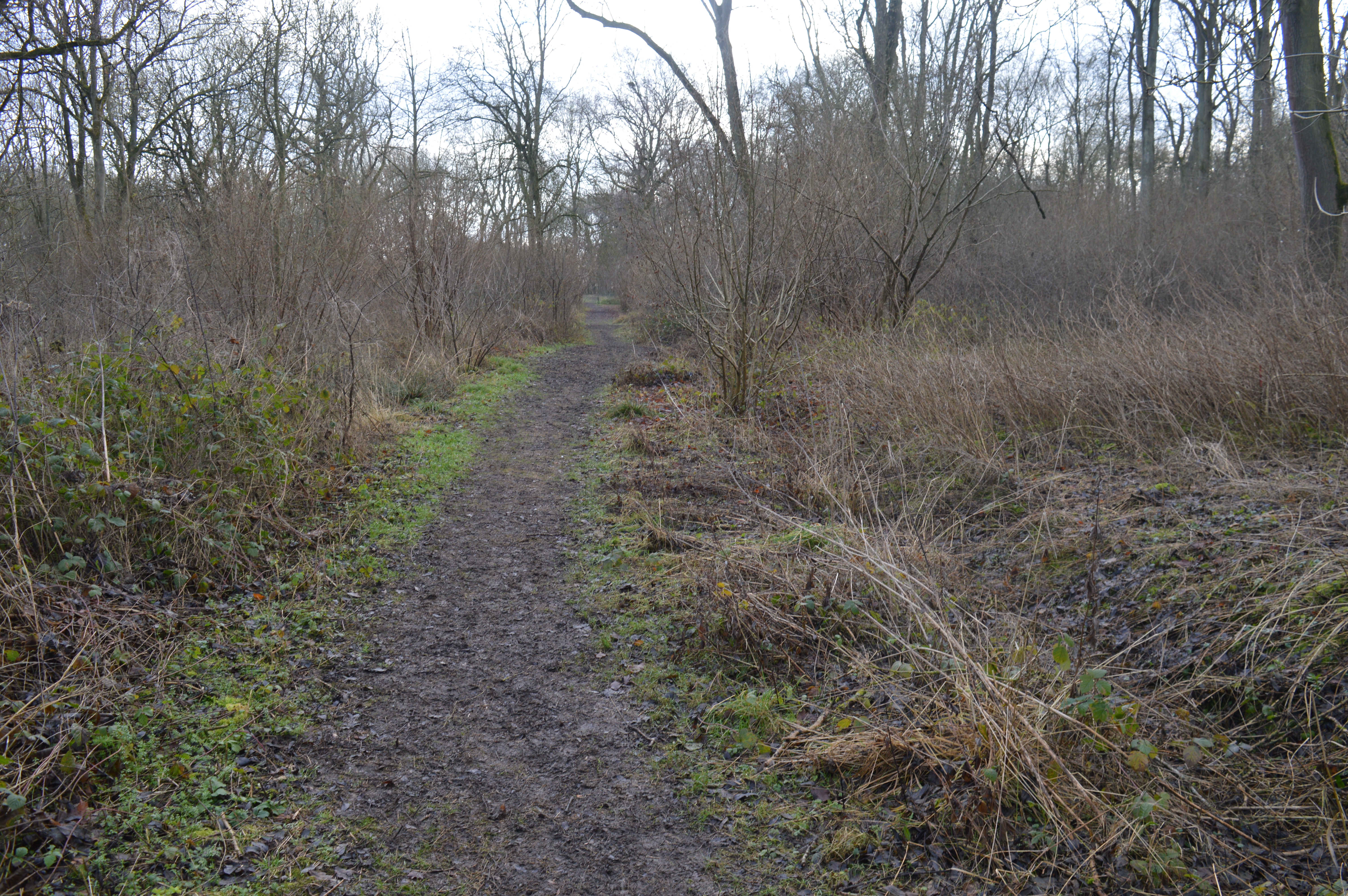
Lower Wood

Lower Wood is a 9 hectare nature reserve east of Weston Colville in Cambridgeshire. It is managed by the Wildlife Trust for Bedfordshire, Cambridgeshire...
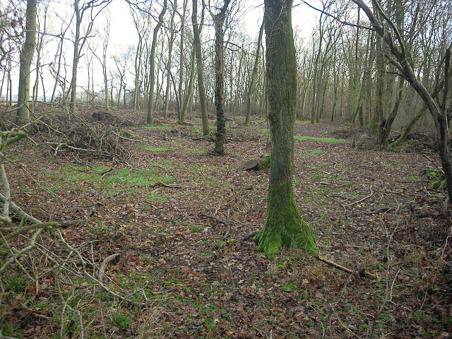
Carlton Wood

Carlton Wood is a 10.4-hectare (26-acre) biological Site of Special Scientific Interest on the eastern boundary of Cambridgeshire, and west of Great Bradley...

Park Wood, Cambridgeshire

Park Wood is an 8.1-hectare (20-acre) biological Site of Special Scientific Interest east of Brinkley in Cambridgeshire.This is woodland of the wet ash/maple...

Brinkley, Cambridgeshire

Brinkley is a small village in Cambridgeshire, England. It is situated about 15 miles east of Cambridge and 5 miles south of Newmarket, the horse racing...

Weston Colville

Weston Colville is a village in South Cambridgeshire, 10 miles southeast of Cambridge and 6 miles south of Newmarket, close to the border with Suffolk...

Burrough Green

Burrough Green is a village and parish in Cambridgeshire, England. The population of the village at the 2011 census was 378. The soil is various; subsoil...

Out and Plunder Woods

Out and Plunder Woods is a 38.6-hectare (95-acre) biological Site of Special Scientific Interest between Great Bradley and Burrough Green in Cambridgeshire...

Nearby Amenities

Located within 500m of 52.15033,0.39181
Bench
Backrest: yes
Material: wood
Lat/Long: 52.1508475/0.3982263
The data included in this document is from www.openstreetmap.org. The data is made available under ODbL.

Have you been to Carlton?

Leave your review of Carlton below (or comments, questions and feedback).