Carlton
Civil Parish in Yorkshire Leeds
England
Carlton
Carlton is a civil parish located in the county of Yorkshire, England. Situated in the district of Selby, this small village is nestled in the picturesque landscape of the Yorkshire countryside. It is bordered by the River Ouse to the west and the A63 road to the east.
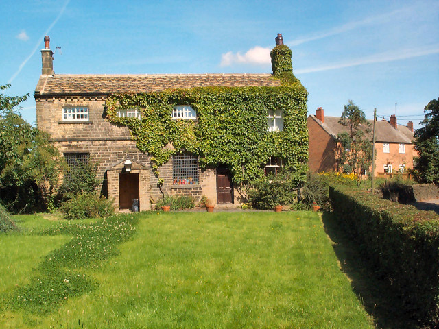
With a population of around 500 inhabitants, Carlton offers a peaceful and close-knit community atmosphere. The village is primarily residential, with a mix of traditional stone houses and newer developments. The charming St. Mary's Church, dating back to the 12th century, stands as a testament to the area's rich history.
Despite its small size, Carlton boasts a few amenities for its residents. These include a local pub, The Fox and Hounds, which serves as a social hub for the community. Additionally, the village has a primary school, Carlton-in-Snaith Community Primary School, providing education for local children.
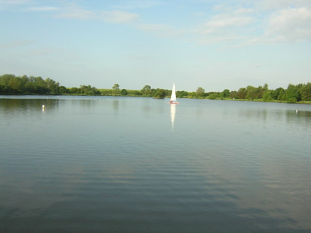
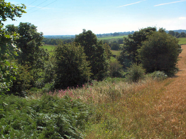
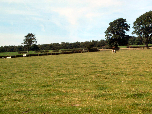
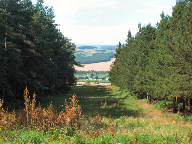
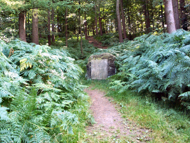
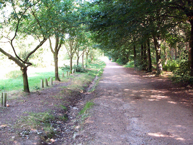
The surrounding countryside provides ample opportunities for outdoor activities. The riverbank offers scenic walks and fishing spots, while the nearby Carlton Moor is a great destination for hikers and nature enthusiasts. The village is also conveniently located near the larger towns of Selby and Goole, which provide additional amenities and services.
Overall, Carlton, Yorkshire is a charming and peaceful civil parish, offering a close-knit community and a tranquil countryside setting. Its rich history, natural beauty, and friendly atmosphere make it an attractive place to live or visit in the heart of Yorkshire.
If you have any feedback on the listing, please let us know in the comments section below.
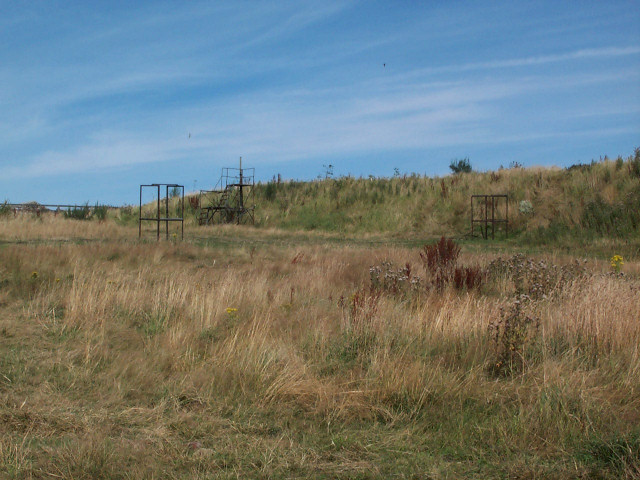
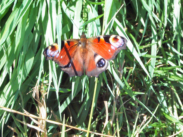
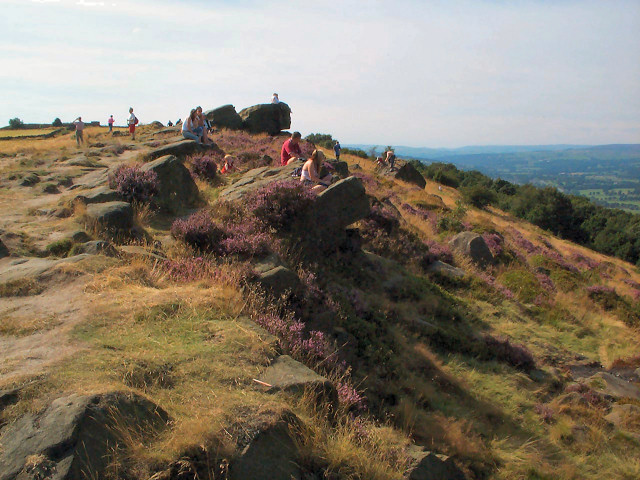
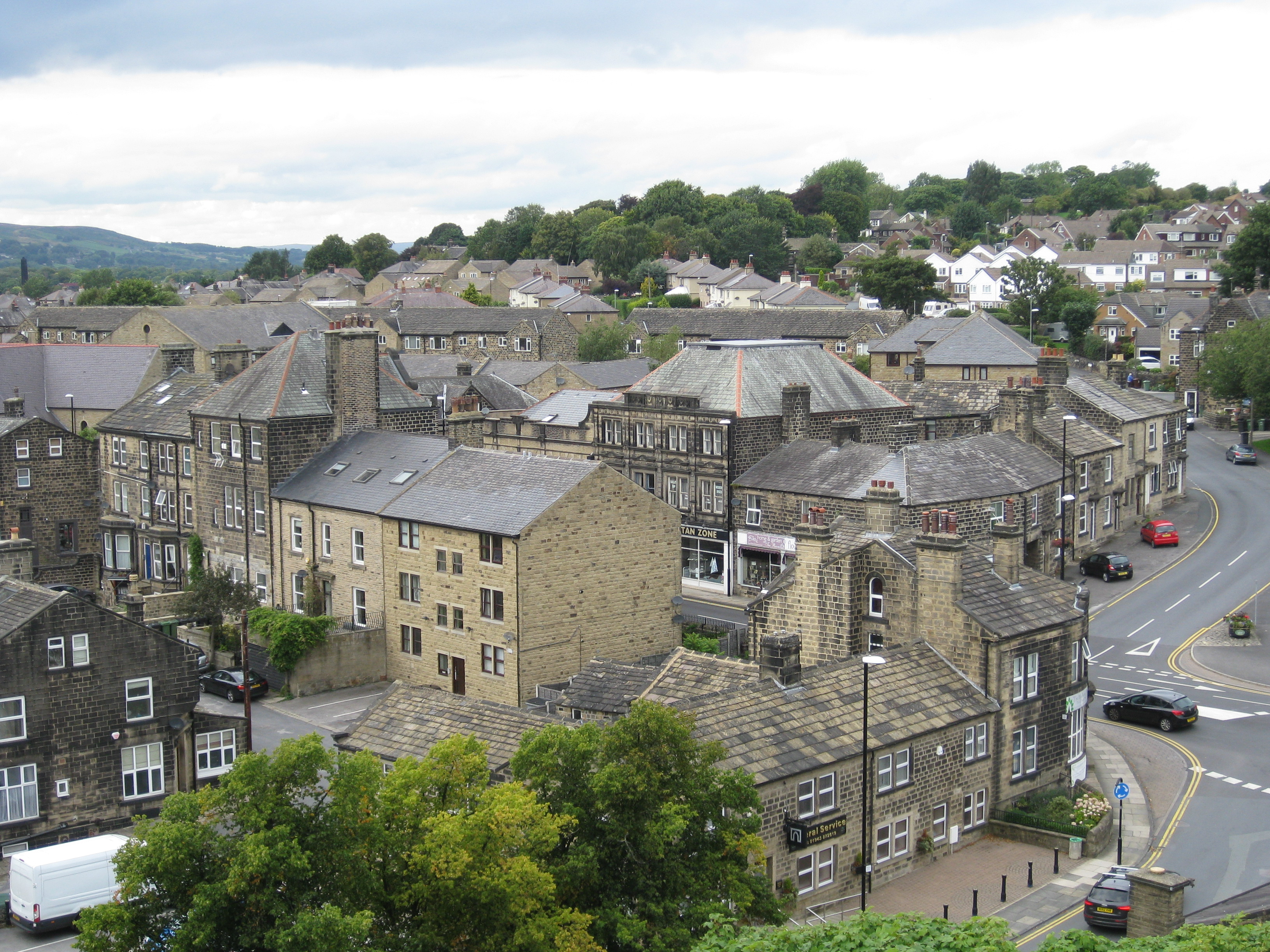
Carlton Images
Images are sourced within 2km of 53.880842/-1.667141 or Grid Reference SE2142. Thanks to Geograph Open Source API. All images are credited.
Carlton is located at Grid Ref: SE2142 (Lat: 53.880842, Lng: -1.667141)
Division: West Riding
Administrative County: West Yorkshire
District: Leeds
Police Authority: West Yorkshire
What 3 Words
///skillet.presides.pointer. Near Yeadon, West Yorkshire
Nearby Locations
Related Wikis

Carlton, Wharfedale
Carlton is a civil parish in the City of Leeds in West Yorkshire, England. It consists of the villages of East Carlton and West Carlton, and in 2001 had...

Aireborough
Aireborough was a local government district in the West Riding of Yorkshire, England from 1937 to 1974. It was formed through the abolition of the urban...

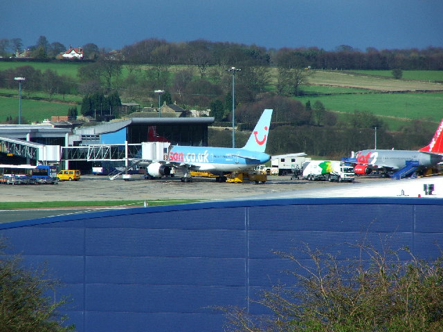
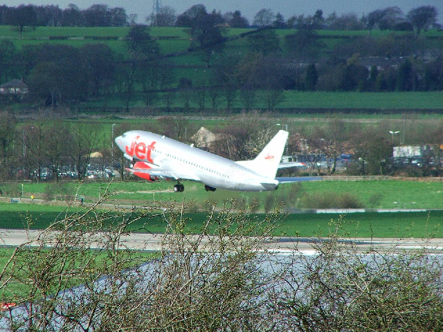
Leeds Bradford Airport
Leeds Bradford Airport (IATA: LBA, ICAO: EGNM) is located in Yeadon, in the City of Leeds Metropolitan District in West Yorkshire, England, about 7 miles...

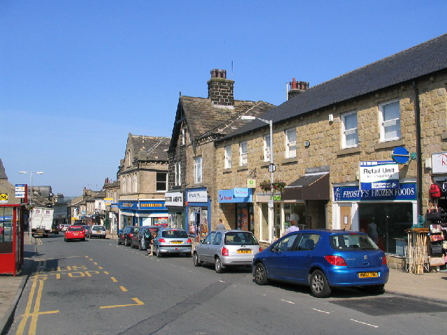
Yeadon, West Yorkshire
Yeadon is a town within the metropolitan borough of the City of Leeds, West Yorkshire, England. Most of the town is in the Otley and Yeadon ward of Leeds...

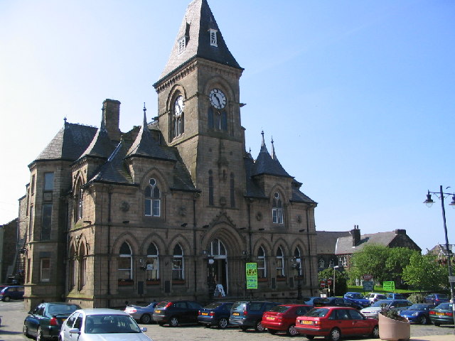
Yeadon Town Hall
Yeadon Town Hall is a municipal building in Yeadon, West Yorkshire, England. It is Grade II listed. == History == In the early 19th century the local board...
The Chevin
The Chevin is the ridge on the south side of Wharfedale in Leeds, West Yorkshire, England, overlooking the market town of Otley, and often known as Otley...
Guiseley
Guiseley ( GHYZE-lee) is a town in metropolitan borough of the City of Leeds, West Yorkshire, England. Historically part of the West Riding of Yorkshire...

St Oswald's Church, Guiseley
St Oswald's Church in Guiseley, West Yorkshire, England, is an active Anglican parish church in the archdeaconry of Leeds and the Diocese of Leeds. �...
Nearby Amenities
Located within 500m of 53.880842,-1.667141Have you been to Carlton?
Leave your review of Carlton below (or comments, questions and feedback).