Novia Plantation
Wood, Forest in Yorkshire
England
Novia Plantation
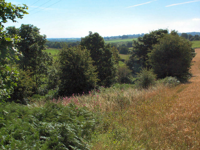
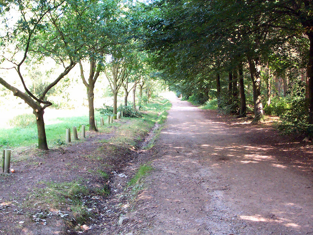
Novia Plantation, located in Yorkshire, England, is a picturesque woodland area known for its dense forests and natural beauty. Spanning over several acres, this enchanting plantation is a haven for nature lovers and outdoor enthusiasts alike.
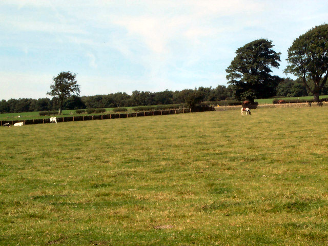
The plantation boasts a diverse range of woodland species, including towering oak and beech trees, creating a lush and vibrant ecosystem. The forest floor is covered with a thick carpet of moss, ferns, and wildflowers, adding to the area's ethereal charm.
Novia Plantation is home to a wide variety of wildlife, making it an ideal spot for birdwatching and animal observation. Visitors may be lucky enough to spot elusive creatures such as deer, foxes, and even rare bird species during their exploration of the woodland trails.
The plantation offers a network of well-maintained walking and cycling paths, allowing visitors to immerse themselves in the tranquility of the forest. The trails wind through the dense woods, offering breathtaking views of the surrounding countryside and providing an opportunity to connect with nature.
Novia Plantation is also a popular destination for photography enthusiasts, who are drawn to the plantation's natural beauty and unique lighting conditions. The interplay of sunlight filtering through the canopy and the vibrant colors of the flora create a captivating backdrop for capturing stunning images.
In addition to its natural attractions, Novia Plantation also offers a range of visitor amenities. These include picnic areas, restrooms, and information boards that provide details about the local flora and fauna.
Overall, Novia Plantation is a true gem of Yorkshire, offering a serene escape into nature for all who visit.
If you have any feedback on the listing, please let us know in the comments section below.
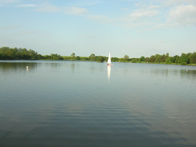
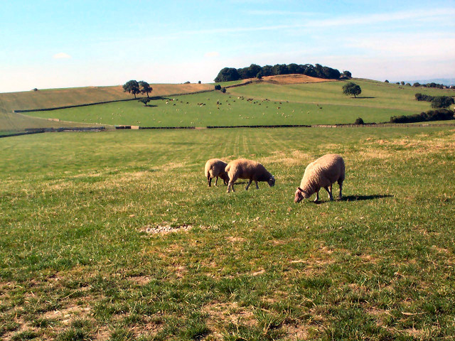
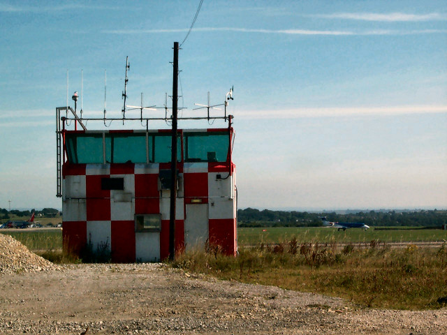
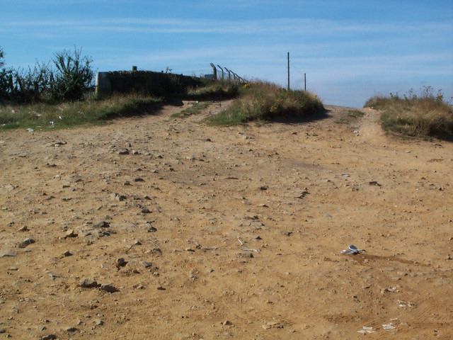
Novia Plantation Images
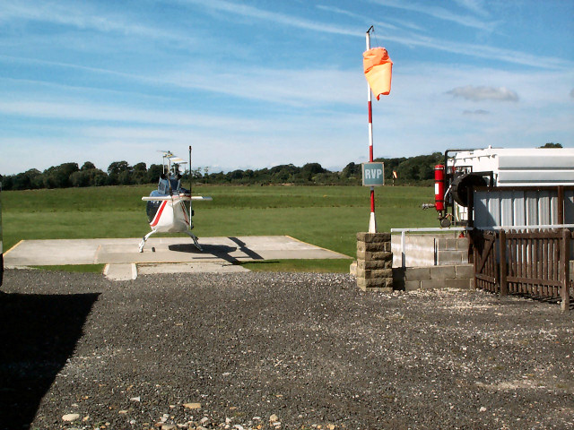
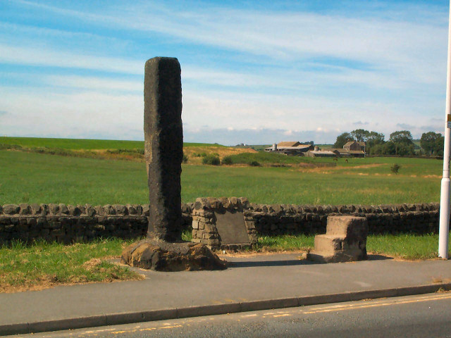
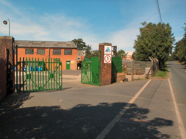
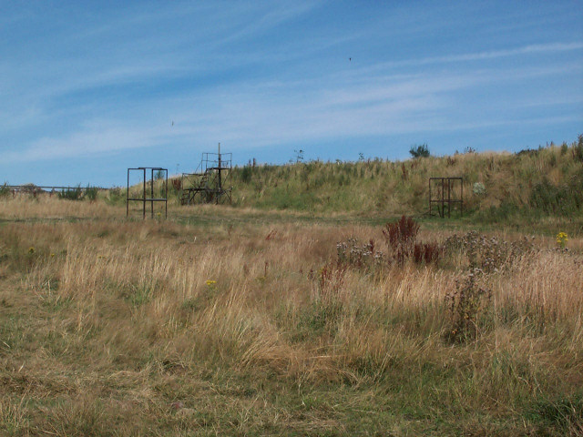
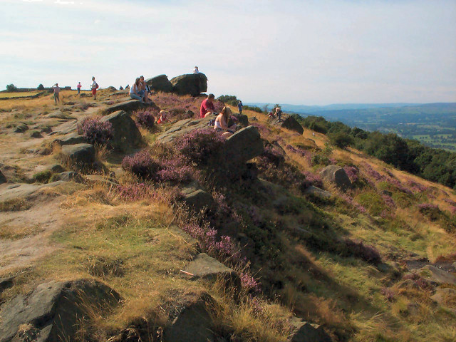
Images are sourced within 2km of 53.877687/-1.6699835 or Grid Reference SE2142. Thanks to Geograph Open Source API. All images are credited.
Novia Plantation is located at Grid Ref: SE2142 (Lat: 53.877687, Lng: -1.6699835)
Division: West Riding
Unitary Authority: Leeds
Police Authority: West Yorkshire
What 3 Words
///spite.digits.portfolio. Near Yeadon, West Yorkshire
Nearby Locations
Related Wikis

Carlton, Wharfedale
Carlton is a civil parish in the City of Leeds in West Yorkshire, England. It consists of the villages of East Carlton and West Carlton, and in 2001 had...

Aireborough
Aireborough was a local government district in the West Riding of Yorkshire, England from 1937 to 1974. It was formed through the abolition of the urban...

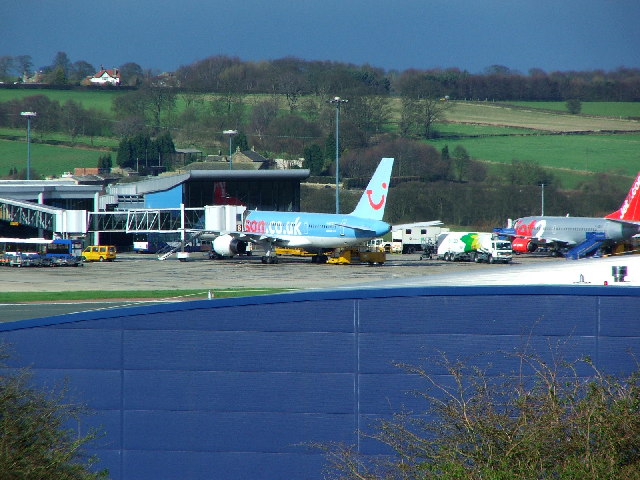
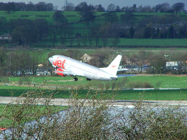
Leeds Bradford Airport
Leeds Bradford Airport (IATA: LBA, ICAO: EGNM) is located in Yeadon, in the City of Leeds Metropolitan District in West Yorkshire, England, about 7 miles...

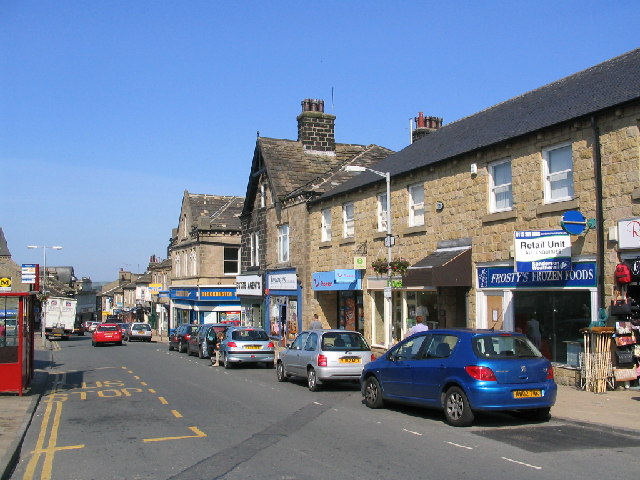
Yeadon, West Yorkshire
Yeadon is a town within the metropolitan borough of the City of Leeds, West Yorkshire, England. Most of the town is in the Otley and Yeadon ward of Leeds...

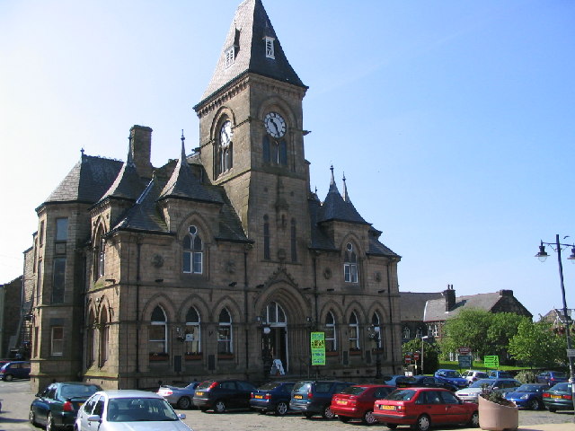
Yeadon Town Hall
Yeadon Town Hall is a municipal building in Yeadon, West Yorkshire, England. It is Grade II listed. == History == In the early 19th century the local board...
The Chevin
The Chevin is the ridge on the south side of Wharfedale in Leeds, West Yorkshire, England, overlooking the market town of Otley, and often known as Otley...

Yeadon railway station (England)
Yeadon railway station was a goods only railway station in West Yorkshire that operated between 1894 and 1964. A station for Yeadon was first proposed...
Aireborough Grammar School
Aireborough Grammar School was an English state grammar school situated on the Yeadon / Guiseley border in Aireborough, West Yorkshire. The school was...
Nearby Amenities
Located within 500m of 53.877687,-1.6699835Have you been to Novia Plantation?
Leave your review of Novia Plantation below (or comments, questions and feedback).