Capel St. Mary
Civil Parish in Suffolk Babergh
England
Capel St. Mary

Capel St. Mary is a civil parish located in the county of Suffolk, England. Situated approximately 6 miles south of Ipswich, it is a picturesque village with a population of around 3,000 residents.
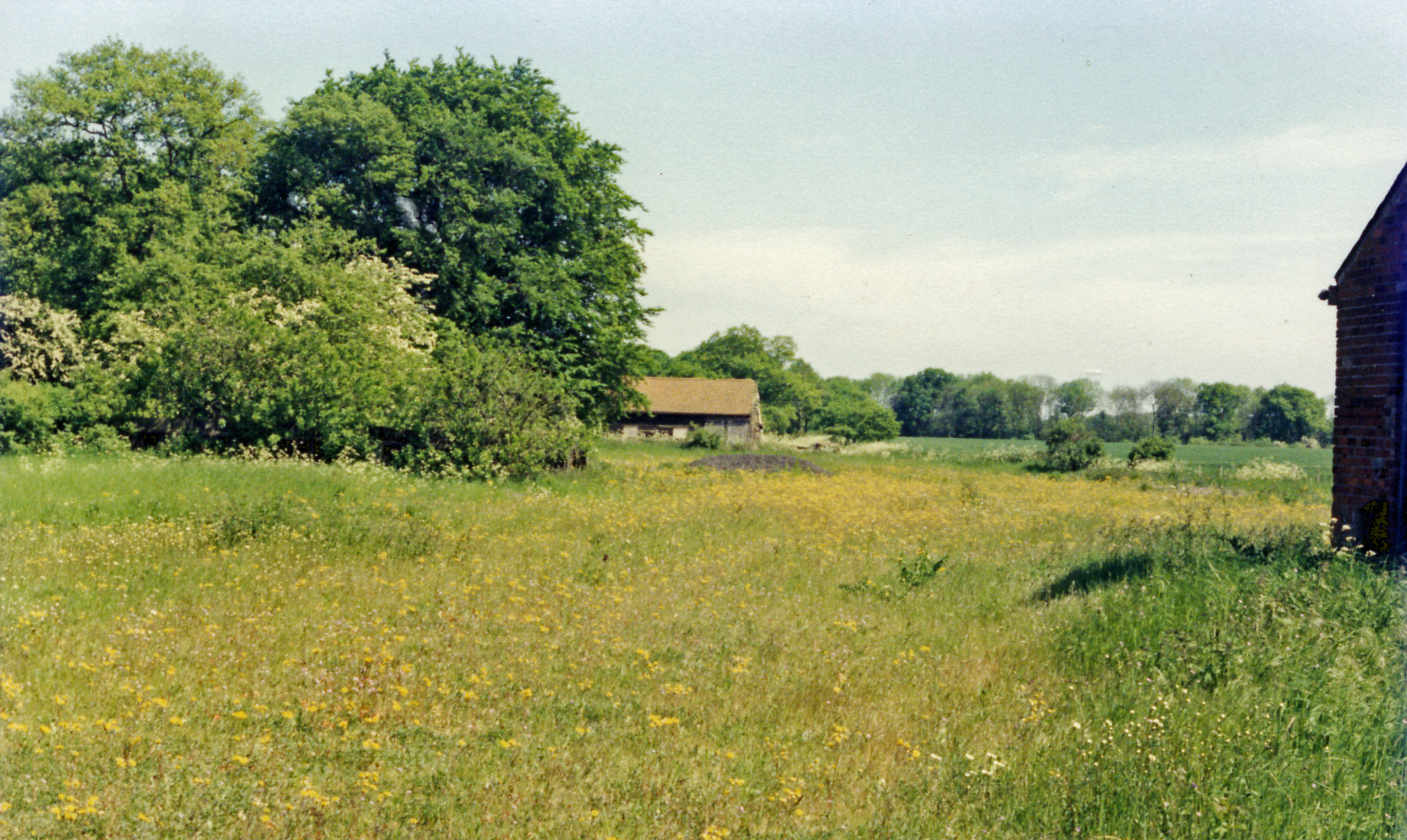
The village is known for its charming rural setting, with rolling green fields, hedgerows, and quaint cottages dotting the landscape. It is surrounded by beautiful countryside, offering residents and visitors plenty of opportunities for outdoor activities such as walking, cycling, and horse riding.
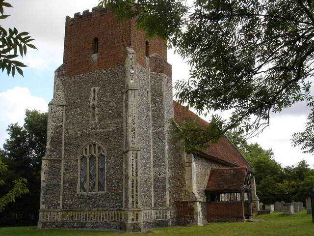
Capel St. Mary has a rich history that can be traced back to medieval times. The village is home to a 14th-century church, St. Mary's Church, which is a prominent landmark in the area. The church is known for its beautiful stained glass windows and intricate architecture.
In terms of amenities, Capel St. Mary has a range of facilities to cater to the needs of its residents. These include a primary school, a village hall, a post office, and a number of local shops and businesses. There are also several pubs and restaurants where residents and visitors can enjoy a drink or a meal.
The village has a strong sense of community, with various events and activities taking place throughout the year. These include the annual Capel St. Mary Carnival, which features a parade, live music, and entertainment for all ages.
Overall, Capel St. Mary is a charming and vibrant village that offers a peaceful and picturesque setting for its residents. With its rich history, beautiful countryside, and strong community spirit, it is a popular place to live and visit in Suffolk.
If you have any feedback on the listing, please let us know in the comments section below.
Capel St. Mary Images
Images are sourced within 2km of 51.999307/1.043484 or Grid Reference TM0937. Thanks to Geograph Open Source API. All images are credited.


Capel St. Mary is located at Grid Ref: TM0937 (Lat: 51.999307, Lng: 1.043484)
Administrative County: Suffolk
District: Babergh
Police Authority: Suffolk
What 3 Words
///puffed.clustered.blossom. Near Capel St Mary, Suffolk
Nearby Locations
Related Wikis

Capel St. Mary
Capel St. Mary – commonly known as Capel – is a village in Suffolk, England. It is about 6 miles (10 km) south-west of Ipswich and 2 miles (3 km) from...
Little Wenham
Little Wenham is a small village in Suffolk, England. It is part of the civil parish of Wenham Parva – the ancient name for Little Wenham) within Babergh...

Samford Rural District
Samford Rural District was a rural district within the administrative county of East Suffolk between 1894 and 1974. It was created out of the earlier Samford...
Capel railway station
Capel railway station was a station in Capel St Mary, Suffolk, on a short branch line from Bentley Junction to Hadleigh. The station buildings were remarkably...
All Saints Church, Little Wenham
All Saints Church is a redundant Anglican church in the village of Little Wenham, Suffolk, England. It is recorded in the National Heritage List for England...

Bentley, Suffolk
Bentley is a village and civil parish in the Babergh district of Suffolk, England, about 6 miles (10 km) southwest of Ipswich. The 2011 Census recorded...
Wenham Parva
Wenham Parva is a civil parish in Suffolk, England. It covers the village of Little Wenham (whose ancient name it takes) and the hamlet of Wenham Grange...

Wenham Magna
Wenham Magna, also known as Great Wenham, is a village and a civil parish in the Babergh district of Suffolk in eastern England. The parish also contains...
Related Videos
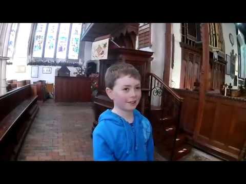
East Bergholt, Suffolk, Bell Cage, July 2023
East Bergholt, Suffolk, Bell Cage, July 2023 #bellringing #churchhistory #constable.
St Mary the Virgin Church East Bergholt Suffolk
The church stands in the old part of the village among narrow lanes and across from Old Hall, once a Catholic convent and today ...
The Blocky Adventurer visits St Mary’s East Bergholt and its curious bell cage.
Join the Blocky Adventurer as he looks at the wonderful church at East Bergholt. Why is the tower ruined? What is that barn in the ...
Modern Foreign Languages MFL Subject Showcase EBHS Virtual Open Evening 2020
Modern Foreign Languages MFL Subject Showcase EBHS Virtual Open Evening 2020.
Nearby Amenities
Located within 500m of 51.999307,1.043484Have you been to Capel St. Mary?
Leave your review of Capel St. Mary below (or comments, questions and feedback).