Boynton Hall

Heritage Site in Suffolk Babergh

England

Boynton Hall

Esso Service Station on A12 north near Capel St Mary
Esso Service Station on A12 north near Capel St Mary Credit: Roy Hughes

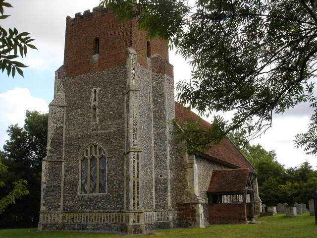
Boynton Hall is a historic manor house located in the county of Suffolk, England. It is recognized as a heritage site due to its significant architectural and historical value. The hall was built in the late 16th century and stands on a vast estate, surrounded by picturesque countryside.

The architecture of Boynton Hall is a prime example of Elizabethan style, characterized by its symmetrical design, ornate gables, and mullioned windows. The building's red brick façade gives it a distinctive appearance and adds to its charm. The interior of the hall boasts a grand entrance hall, adorned with intricate woodwork and a beautiful oak staircase that has stood the test of time.

Throughout its history, Boynton Hall has been associated with prominent families who have left their mark on the estate. Notably, the hall was once owned by the influential Bacon family, who were relatives of the famous philosopher and statesman Sir Francis Bacon. The family's influence is evident in the hall's architecture and historical significance.

Today, Boynton Hall is privately owned and serves as a family residence. However, the owners have taken great care to preserve its historical integrity. The estate also features well-maintained gardens, which add to the overall charm and tranquility of the site.

Visitors to Boynton Hall can appreciate its architectural beauty from the outside, as access to the interior is restricted. However, the hall's picturesque surroundings make it an ideal spot for leisurely walks and picnics. Its status as a heritage site ensures that Boynton Hall will continue to be preserved for future generations to enjoy and appreciate.

If you have any feedback on the listing, please let us know in the comments section below.
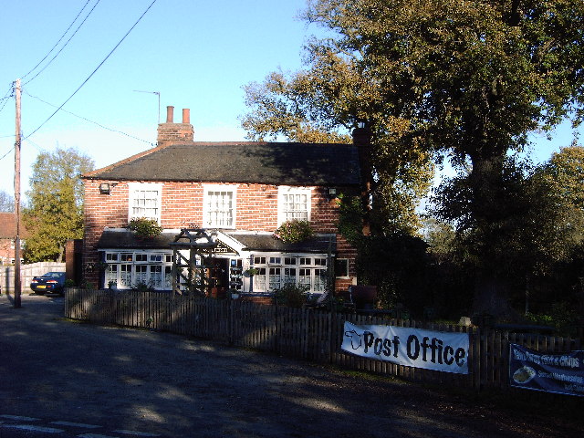
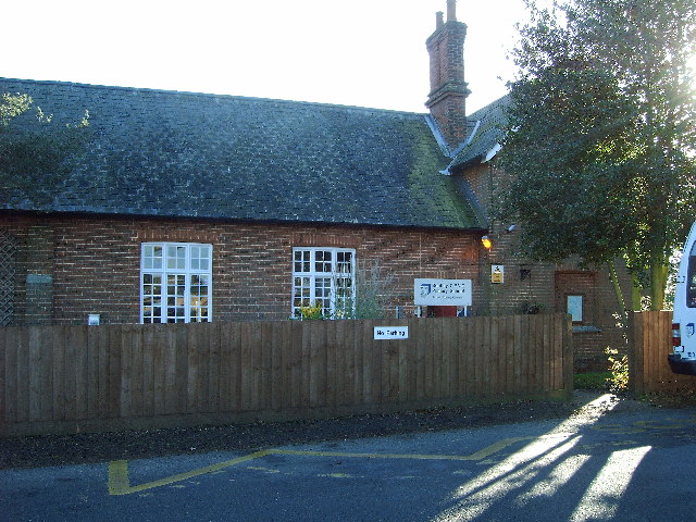
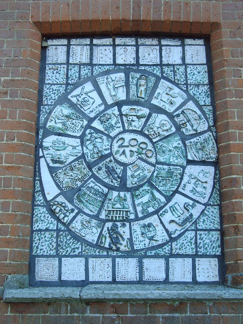
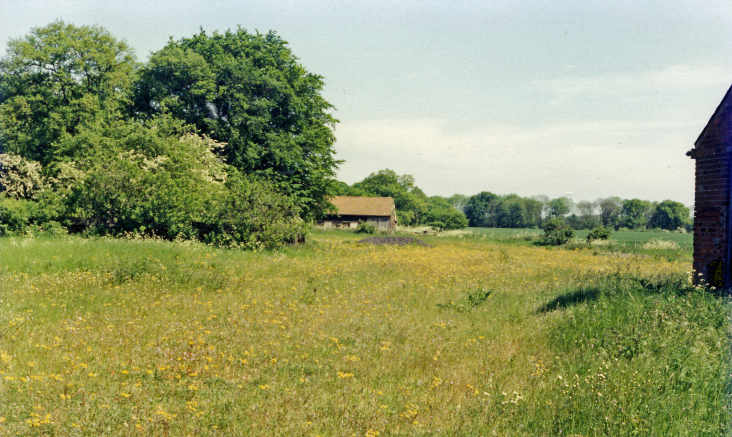
Boynton Hall Images

Images are sourced within 2km of 51.997/1.052 or Grid Reference TM0937. Thanks to Geograph Open Source API. All images are credited.

Esso Service Station on A12 north near Capel St Mary
Jet garage on A12 north at Capel St Mary
The A12, Capel St Mary I've been here before. <a title="https://www.geograph.org.uk/photo/5377066" href="https://www.geograph.org.uk/photo/5377066">Link</a>
The A12, Capel St Mary
I've been here before. Link
The A12, Capel St Mary
The Case is Altered, Public House, Bentley,  Suffolk When the post office in Bentley closed, a Post Office was opened here.
The Case is Altered, Public House, Bentley, Suffolk
When the post office in Bentley closed, a Post Office was opened here.
Primary School Bentley Suffolk.
Windows of the Past. This work can be seen on the North Facing Wall of Bentley Primary School Suffolk.
Windows of the Past.
This work can be seen on the North Facing Wall of Bentley Primary School Suffolk.
Little Chef at Capel St Mary, Suffolk This is by a major junction on the A.12
Little Chef at Capel St Mary, Suffolk
This is by a major junction on the A.12
Bentley Road, Bentley, Suffolk This is the view driving away from Bentley towards Capel St Mary.
Bentley Road, Bentley, Suffolk
This is the view driving away from Bentley towards Capel St Mary.
Weight limit on weak bridge between East End & Bentley Even rural road signs are not safe from graffiti!  This sign warns drivers going north towards Bentley from East End, East Bergholt that they had better weigh no more than 8 tonnes.  The road is narrow too! Downstream from this bridge are two footbridges (at least) over Dodnash Brook - one in this square and one in TM1135, to the east.
Weight limit on weak bridge between East End & Bentley
Even rural road signs are not safe from graffiti! This sign warns drivers going north towards Bentley from East End, East Bergholt that they had better weigh no more than 8 tonnes. The road is narrow too! Downstream from this bridge are two footbridges (at least) over Dodnash Brook - one in this square and one in TM1135, to the east.
St. Mary's church, Capel St. Mary, Suffolk This is a mainly 15th century church.  At one time it had a spire. Inside, there is a fine hammerbeam roof.
St. Mary's church, Capel St. Mary, Suffolk
This is a mainly 15th century church. At one time it had a spire. Inside, there is a fine hammerbeam roof.
'The White Horse' inn, Capel St. Mary, Suffolk The main road in this picture, was once the A.12 and this inn must have been a very popular place back then. Parts of the inn date back to the early 18th century, perhaps even earlier.
'The White Horse' inn, Capel St. Mary, Suffolk
The main road in this picture, was once the A.12 and this inn must have been a very popular place back then. Parts of the inn date back to the early 18th century, perhaps even earlier.
By Pass Nurseries, Capel St Mary, Suffolk
Allotments along Pound Lane
Capel St. Mary, Suffolk This is the view at the end of Pound Lane by St. Mary's church.
Capel St. Mary, Suffolk
This is the view at the end of Pound Lane by St. Mary's church.
Clay Hall (behind a ripe crop of oil seed rape) The footpath passes close to Clay Hall and through the farmyard which has a pond with ducks
Clay Hall (behind a ripe crop of oil seed rape)
The footpath passes close to Clay Hall and through the farmyard which has a pond with ducks
Stile entering wood, track of disused railway The stile is interesting because it is made of bent metal girders. Could they be a relic of the disused railway (line that used to connect Hadleigh with the Norwich-London line). In the linear wood beyond, the line of the old railway is easy to envisage.
Stile entering wood, track of disused railway
The stile is interesting because it is made of bent metal girders. Could they be a relic of the disused railway (line that used to connect Hadleigh with the Norwich-London line). In the linear wood beyond, the line of the old railway is easy to envisage.
Boardwalk by stream on path between two woods At this point, the path passing from Old London Road to East End East Bergholt passes between Great Martin's Hill Wood and King's Field (also a wood) and alongside a stream.  The ground is boggy in places and sections of boardwalk or walkway have been provided.  The walk can be enjoyed as a circular walk starting from near Boynton Hall
Boardwalk by stream on path between two woods
At this point, the path passing from Old London Road to East End East Bergholt passes between Great Martin's Hill Wood and King's Field (also a wood) and alongside a stream. The ground is boggy in places and sections of boardwalk or walkway have been provided. The walk can be enjoyed as a circular walk starting from near Boynton Hall
Show me another place!

Boynton Hall is located at Grid Ref: TM0937 (Lat: 51.997, Lng: 1.052)

Administrative County: Suffolk

District: Babergh

Police Authority: Suffolk

What 3 Words

///tumblers.twitches.surfacing. Near Capel St Mary, Suffolk

Related Wikis

Capel St. Mary

Capel St. Mary – commonly known as Capel – is a village in Suffolk, England. It is about 6 miles (10 km) south-west of Ipswich and 2 miles (3 km) from...

Samford Rural District

Samford Rural District was a rural district within the administrative county of East Suffolk between 1894 and 1974. It was created out of the earlier Samford...

Bentley, Suffolk

Bentley is a village and civil parish in the Babergh district of Suffolk, England, about 6 miles (10 km) southwest of Ipswich. The 2011 Census recorded...

Capel railway station

Capel railway station was a station in Capel St Mary, Suffolk, on a short branch line from Bentley Junction to Hadleigh. The station buildings were remarkably...

Little Wenham

Little Wenham is a small village in Suffolk, England. It is part of the civil parish of Wenham Parva – the ancient name for Little Wenham) within Babergh...

Dodnash Priory

Dodnash Priory was a small Augustinian priory located in Bentley, Suffolk, England, near the village's boundary with East Bergholt. It was situated close...

All Saints Church, Little Wenham

All Saints Church is a redundant Anglican church in the village of Little Wenham, Suffolk, England. It is recorded in the National Heritage List for England...

Bentley railway station (Suffolk)

Bentley railway station, also known as Bentley Junction between 1849 and 1878, was located in Bentley, Suffolk on the Great Eastern Main Line. It opened...

Nearby Amenities

Located within 500m of 51.997,1.052
Power: tower
Lat/Long: 51.9936868/1.0517555
Power: tower
Lat/Long: 51.9992744/1.0568785
Motorway Junction
Ref: 32A
Lat/Long: 51.9977421/1.0482202
Power: tower
Lat/Long: 51.9957172/1.0536158
Passing Place
Lat/Long: 51.9957636/1.055516
Passing Place
Lat/Long: 51.9950949/1.0520326
Bus Stop
Leaping Wells
Local Ref: opp
Naptan AtcoCode: 390010672
Naptan Bearing: SW
Naptan CommonName: Leaping Wells
Naptan Landmark: Leaping Wells
Naptan NaptanCode: sufjdjmp
Naptan Street: A12
Public Transport: platform
Source: naptan_import;survey
Lat/Long: 51.9967671/1.0453605
Friars
Local Ref: adj
Naptan AtcoCode: 390010673
Naptan Bearing: NE
Naptan BusStopType: CUS
Naptan CommonName: Friars
Naptan Landmark: Garden Centre
Naptan NaptanCode: sufjdjmt
Naptan Street: London Road
Naptan Verified: no
Public Transport: platform
Source: naptan_import
Lat/Long: 51.9999149/1.0523321
Power: tower
Source: Yahoo
Lat/Long: 51.9974116/1.0551715
Passing Place
Lat/Long: 51.995191/1.0477923
Material: wood
Power: pole
Lat/Long: 51.9935501/1.0540787
Material: wood
Power: pole
Lat/Long: 51.9937251/1.0527859
Traffic Calming: table
Lat/Long: 52.0005633/1.052143
Material: wood
Power: pole
Lat/Long: 51.9933569/1.0554278
Communication Mobile Phone: yes
Man Made: mast
Tower Type: communication
Lat/Long: 52.0003804/1.055078
Recycling
Recycling Clothes: yes
Recycling Glass Bottles: yes
Recycling Paper: yes
Recycling Type: container
Lat/Long: 51.9996419/1.0526658
Passing Place
Lat/Long: 51.9966365/1.0589104
Barrier: height_restrictor
Maxheight: 2.2
Lat/Long: 51.9985958/1.0504217
Fixme: Bridleway continues N
Lat/Long: 51.9963626/1.0453856
The data included in this document is from www.openstreetmap.org. The data is made available under ODbL.

Have you been to Boynton Hall?

Leave your review of Boynton Hall below (or comments, questions and feedback).