Capel St. Andrew

Civil Parish in Suffolk East Suffolk

England

Capel St. Andrew

Rendlesham Forest: entrance to Tangham Residential Area Road traffic beyond this point is limited to vehicles linked with the few dwellings here.
Rendlesham Forest: entrance to Tangham Residential Area Credit: Christopher Hilton

Capel St. Andrew is a civil parish located in the county of Suffolk, England. Situated on the eastern coast of the country, the parish is part of the Suffolk Coastal district. It covers an area of approximately 6.6 square kilometers and is home to a small population.

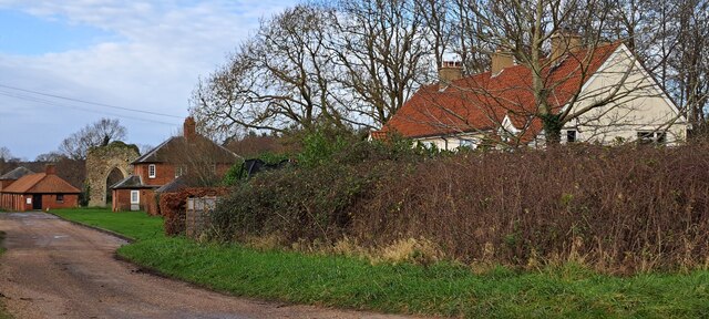
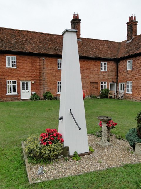
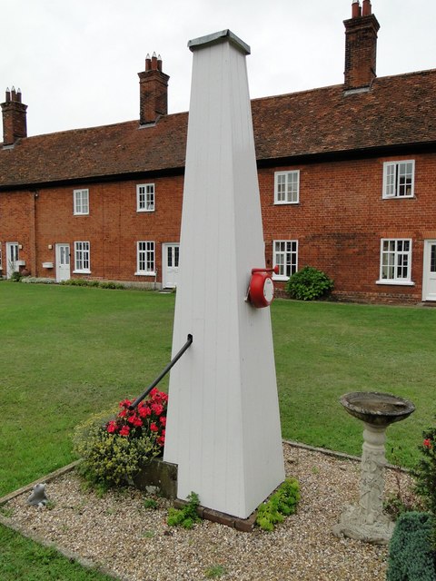
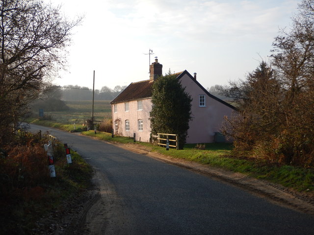
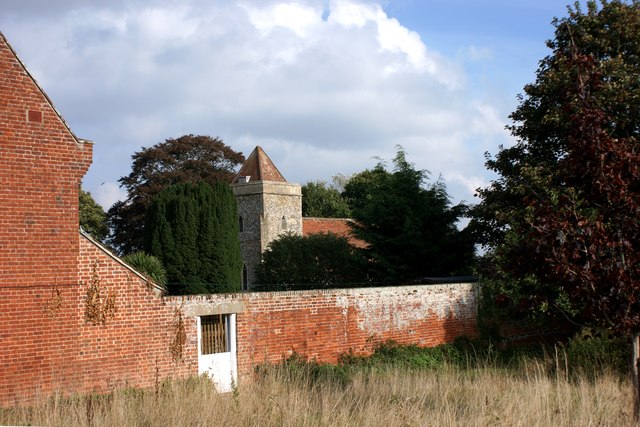
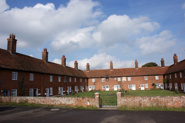
The village of Capel St. Andrew is situated within the parish and is surrounded by picturesque countryside and farmland. The village itself is characterized by its charming and traditional English architecture, with many historic buildings and cottages lining its streets.

The parish is located just a few miles from the popular coastal town of Aldeburgh, known for its sandy beaches and vibrant arts scene. This proximity offers residents of Capel St. Andrew the opportunity to enjoy the amenities and attractions of a larger town while still enjoying the tranquility of village life.

The area is also known for its natural beauty, with the RSPB Minsmere Nature Reserve located nearby. This reserve is home to a wide variety of bird species and offers visitors the chance to explore its marshes, woodlands, and coastal habitats.

Overall, Capel St. Andrew is a peaceful and idyllic rural parish, offering its residents a close-knit community and access to stunning natural surroundings.

If you have any feedback on the listing, please let us know in the comments section below.

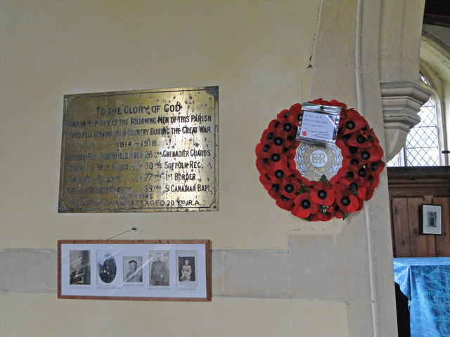
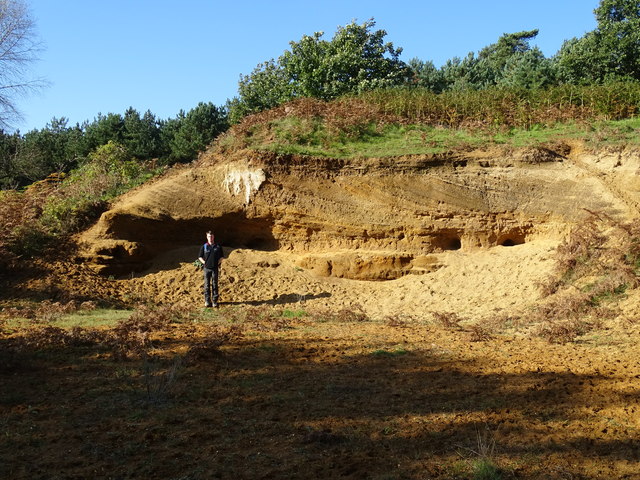
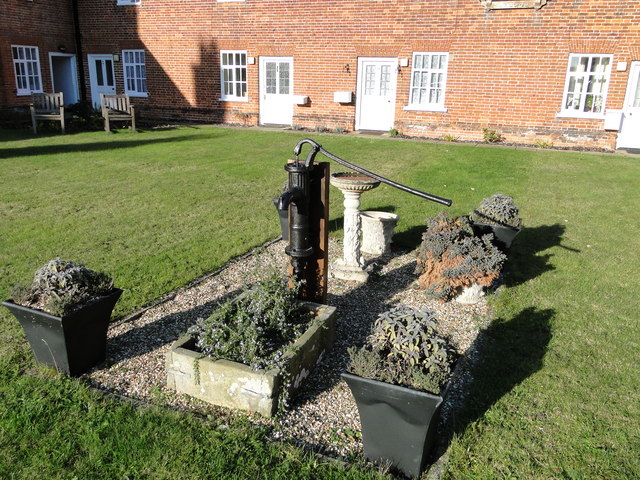
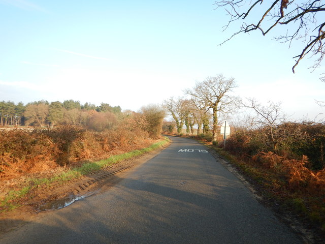
Capel St. Andrew Images

Images are sourced within 2km of 52.083353/1.439573 or Grid Reference TM3548. Thanks to Geograph Open Source API. All images are credited.

Rendlesham Forest: entrance to Tangham Residential Area Road traffic beyond this point is limited to vehicles linked with the few dwellings here.
Rendlesham Forest: entrance to Tangham Residential Area
Road traffic beyond this point is limited to vehicles linked with the few dwellings here.
Rendlesham Forest
Rendlesham Forest
Minor road through Rendlesham Forest
Lane along the southern edge of Rendlesham Forest
Church of St Andrew, Boyton
Lane into Butley Abbey, with the remains of the former Priory gatehouse
Boyton: the Mary Warner almshouses
Boxed in village pump at Boyton Almshouses
Boxed-in village pump at Boyton Almshouses with firebell
Boyton War Memorial The brass plated memorial bears four names from WW1 and one from WW2. However Arthur C.  GROSS who died in 1918 is buried in the churchyard although his name is remembered on the Wickham Market War Memorial.
Boyton War Memorial
The brass plated memorial bears four names from WW1 and one from WW2. However Arthur C. GROSS who died in 1918 is buried in the churchyard although his name is remembered on the Wickham Market War Memorial.
Red Crag Formation A series of Pliocene to Pleistocene deposits representing a tidal dune system with herringbone cross stratification and lenticular bedding. There are also several rhythmite beds depicting storm surges.
Red Crag Formation
A series of Pliocene to Pleistocene deposits representing a tidal dune system with herringbone cross stratification and lenticular bedding. There are also several rhythmite beds depicting storm surges.
The water pump at the Mary Warner Almshouses, Boyton Until recently the pump was enclosed. viz <a title="https://www.geograph.org.uk/photo/4637494" href="https://www.geograph.org.uk/photo/4637494">Link</a> <a title="https://www.geograph.org.uk/photo/4637497" href="https://www.geograph.org.uk/photo/4637497">Link</a>
The water pump at the Mary Warner Almshouses, Boyton
Until recently the pump was enclosed. viz Link Link
Minor Road towards Hollesley Close to The Tang.
Minor Road towards Hollesley
Close to The Tang.
Isolated Building - Wash Cottage
Boyton church from the south west Viewed over the wall of the Mary Warner Almshouses adjacent to the churchyard.
Boyton church from the south west
Viewed over the wall of the Mary Warner Almshouses adjacent to the churchyard.
The Mary Warner Almshouses, Boyton
Sandlings Walk, W of Tangham House, Rendlesham Forest
Wooden crocodile by Rendlesham Forest Centre, Suffolk
Show me another place!

Capel St. Andrew is located at Grid Ref: TM3548 (Lat: 52.083353, Lng: 1.439573)

Administrative County: Suffolk

District: East Suffolk

Police Authority: Suffolk

What 3 Words

///aside.whizzing.able. Near Rendlesham, Suffolk

Nearby Locations

Capel St. Andrew

Related Wikis

Rendlesham Forest

Rendlesham Forest is a 1,500-hectare (3,700-acre) mixed woodland in Suffolk owned by Forestry England with recreation facilities for walkers, cyclists...

Rendlesham Forest incident

The Rendlesham Forest incident was a series of reported sightings of unexplained lights near Rendlesham Forest in Suffolk, England, in December 1980, which...

Capel St Andrew

Capel St Andrew is a village and a civil parish in the East Suffolk district, in the county of Suffolk, England. It is near the larger settlement of Orford...

Staverton Park and The Thicks, Wantisden

Staverton Park and The Thicks, Wantisden is an 80.8-hectare (200-acre) biological Site of Special Scientific Interest west of Butley in Suffolk. It is...

Boyton, Suffolk

Boyton is a village and civil parish in the East Suffolk district of Suffolk, England, about eight miles east of Woodbridge, and close to Orford Ness....

Butley Priory

Butley Priory, sometimes called Butley Abbey, was a religious house of Canons regular (Augustinians, Black canons) in Butley, Suffolk, dedicated to The...

MoD Woodbridge

Ministry of Defence Woodbridge or MoD Woodbridge is a military installation located near the town of Woodbridge, in Suffolk, England. The site opened in...

RAF Woodbridge

Royal Air Force Woodbridge, or more simply RAF Woodbridge, is a former Royal Air Force station located east of Woodbridge in the county of Suffolk, England...

Nearby Amenities

Located within 500m of 52.083353,1.439573
Bicycle Parking
Capacity: 10
Lat/Long: 52.0838304/1.4327998
Tourism: information
Lat/Long: 52.0840593/1.4337883
Leisure: picnic_table
Lat/Long: 52.0846349/1.4328299
Leisure: picnic_table
Lat/Long: 52.0840978/1.432446
Leisure: picnic_table
Lat/Long: 52.0842205/1.4324991
Leisure: picnic_table
Lat/Long: 52.0844381/1.4326755
Leisure: playground
Lat/Long: 52.0837823/1.4335845
UFO Trail Information
Tourism: information
Lat/Long: 52.0840023/1.4329161
The data included in this document is from www.openstreetmap.org. The data is made available under ODbL.

Have you been to Capel St. Andrew?

Leave your review of Capel St. Andrew below (or comments, questions and feedback).