Butterton
Civil Parish in Staffordshire Staffordshire Moorlands
England
Butterton
Butterton is a civil parish located in the county of Staffordshire, England. Situated in the Staffordshire Moorlands district, it is a small rural village nestled between the towns of Leek and Alton.
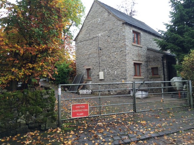
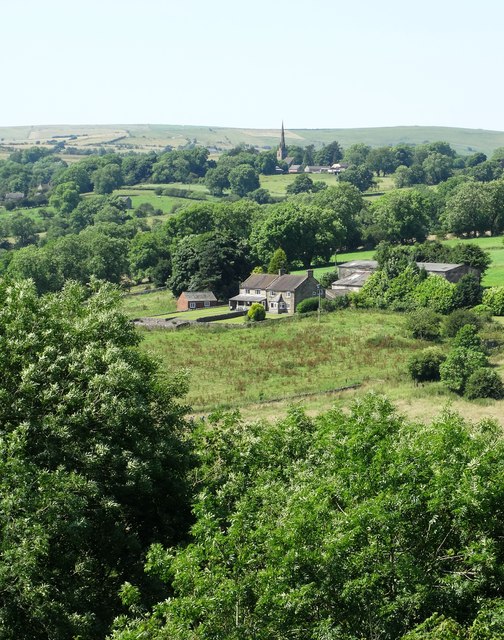
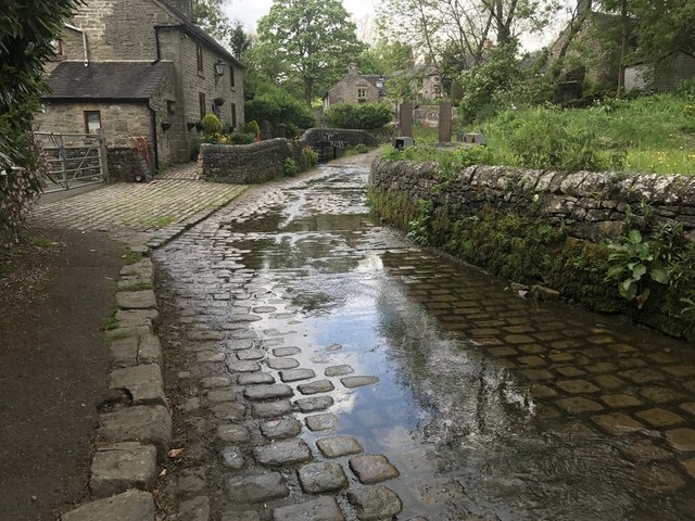
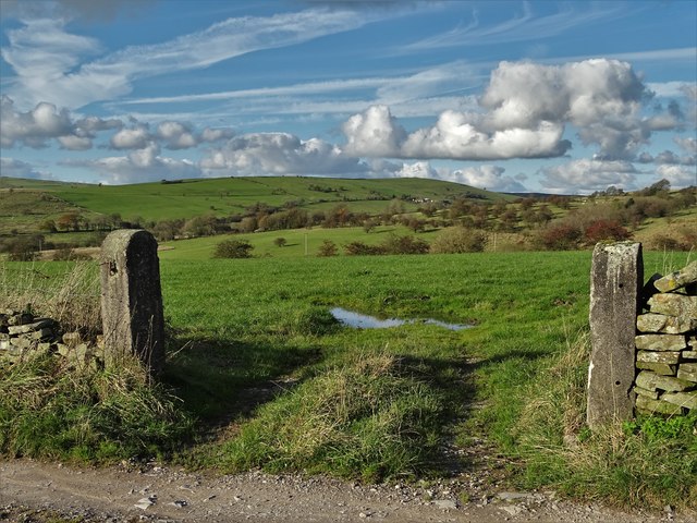
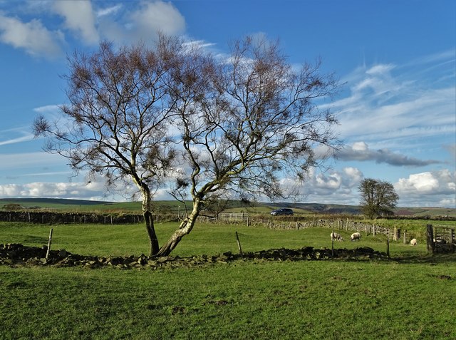
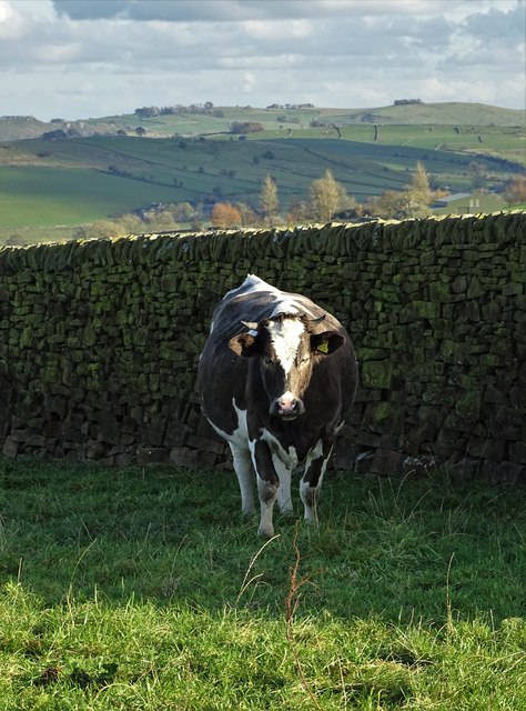
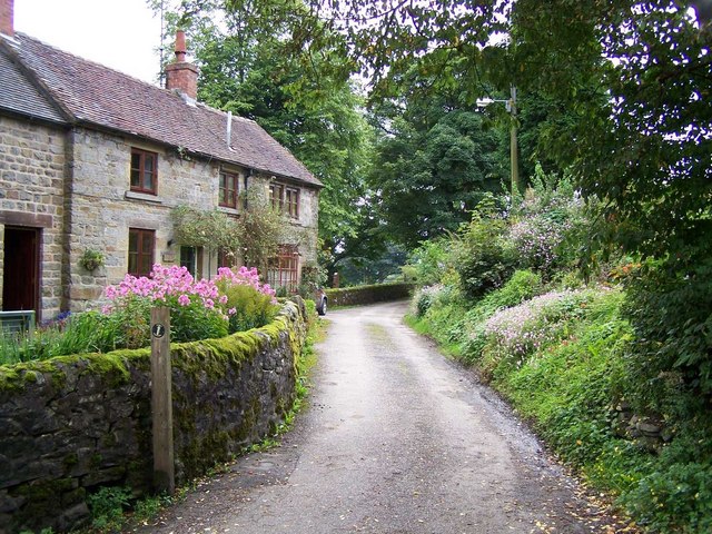
The parish covers an area of approximately 4 square miles and is home to a population of around 300 residents. The village itself is characterized by its picturesque countryside, rolling hills, and charming stone-built houses. It is surrounded by vast agricultural fields and farmland, giving it a tranquil and idyllic atmosphere.
Historically, Butterton was an agricultural community, heavily reliant on farming and livestock rearing. However, in recent years, it has become more residential, with many of its inhabitants commuting to nearby towns and cities for work.
The village has a few amenities to cater to its residents' needs, including a local pub, The Black Lion, which serves as a social hub for the community. There is also a small village hall that hosts various events and gatherings.
One notable feature of Butterton is the beautiful Butterton Moor, which lies to the southeast of the village. This area of open moorland is a popular location for walking, hiking, and birdwatching, offering stunning views of the surrounding countryside.
Overall, Butterton is a charming, rural village that offers a peaceful and picturesque setting for its residents. Its close proximity to larger towns and cities provides the perfect balance between rural living and access to modern amenities.
If you have any feedback on the listing, please let us know in the comments section below.
Butterton Images
Images are sourced within 2km of 53.107132/-1.895164 or Grid Reference SK0756. Thanks to Geograph Open Source API. All images are credited.


Butterton is located at Grid Ref: SK0756 (Lat: 53.107132, Lng: -1.895164)
Administrative County: Staffordshire
District: Staffordshire Moorlands
Police Authority: Staffordshire
What 3 Words
///corrupted.audible.energetic. Near Leek, Staffordshire
Related Wikis

Butterton
Butterton is a small village in the Staffordshire Peak District of England (grid reference SK075565). It overlooks the Manifold Valley and Ecton Hill,...

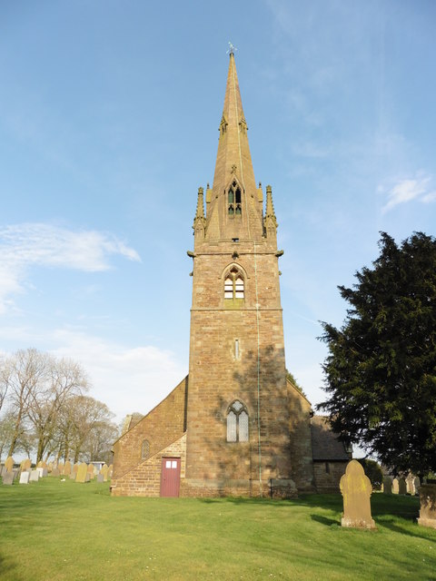
St Bartholomew's Church, Butterton
St Bartholomew's Church, Butterton is a Grade II listed parish church in the Church of England in Butterton. == History == St Bartholomew's Church was...

Elkstones
Elkstones is a small hamlet in the parish of Warslow and Elkstones, consisting of Upper Elkstone and Lower Elkstone. Situated high in the Staffordshire...
Warslow and Elkstones
Warslow and Elkstones is a civil parish in the district of Staffordshire Moorlands in north-east Staffordshire, England. It includes the village of Warslow...
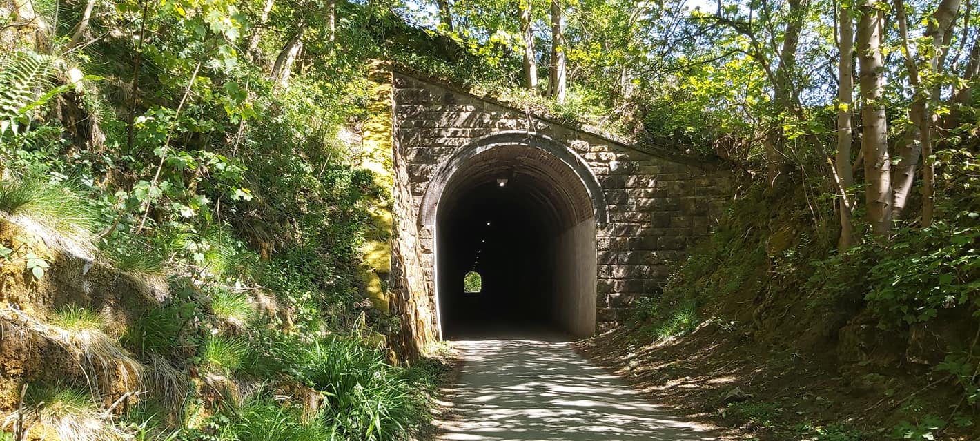
Swainsley Tunnel
Swainsley Tunnel is a tunnel on the route of the former Leek and Manifold Light Railway, which connected the market town of Leek with Hulme End, via Waterhouses...
Butterton railway station
Butterton railway station was a station on the Leek and Manifold Light Railway. It served the village of Butterton in Staffordshire. The site is now part...
Wetton Mill railway station
Wetton Mill railway station was a minor station on the Leek and Manifold Light Railway serving the nearby Wetton Mill in Wetton, Staffordshire. The site...

Warslow
Warslow is a small village in Staffordshire, England. It is located in the Peak District National Park about 10 miles (16 km) north of Ashbourne. Although...
Nearby Amenities
Located within 500m of 53.107132,-1.895164Have you been to Butterton?
Leave your review of Butterton below (or comments, questions and feedback).