Buttermere

Civil Parish in Wiltshire

England

Buttermere

Farmland, Buttermere A cereal crop and shallow dry valley to the west of Heath Lane.
Farmland, Buttermere Credit: Andrew Smith

Buttermere is a civil parish located in the county of Wiltshire, England. Situated in the picturesque region of South West England, it is part of the Salisbury district. The parish covers an area of approximately 5 square kilometers and is home to a small population.

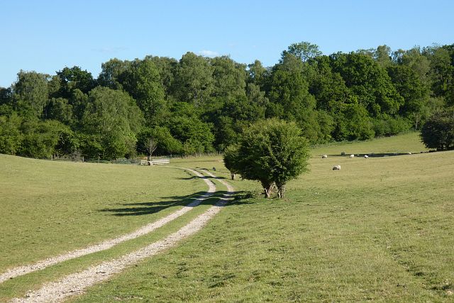
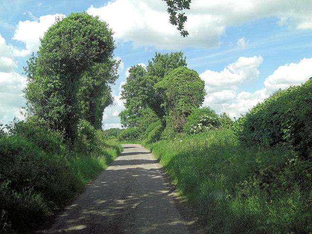
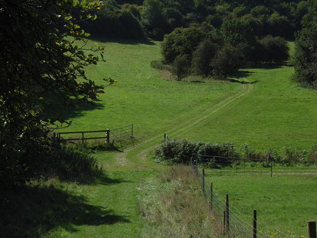
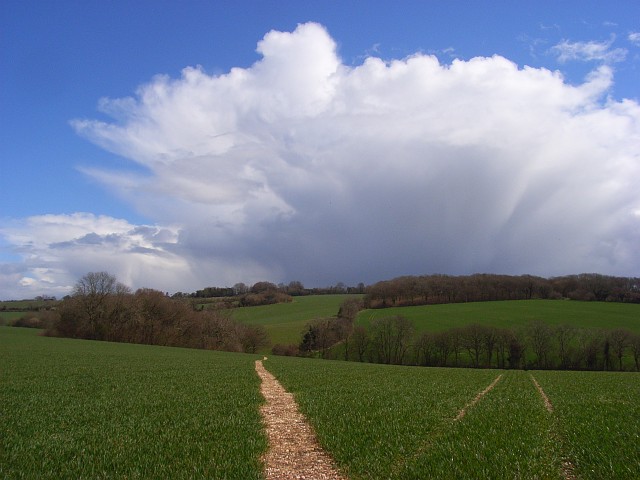
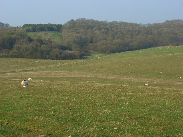
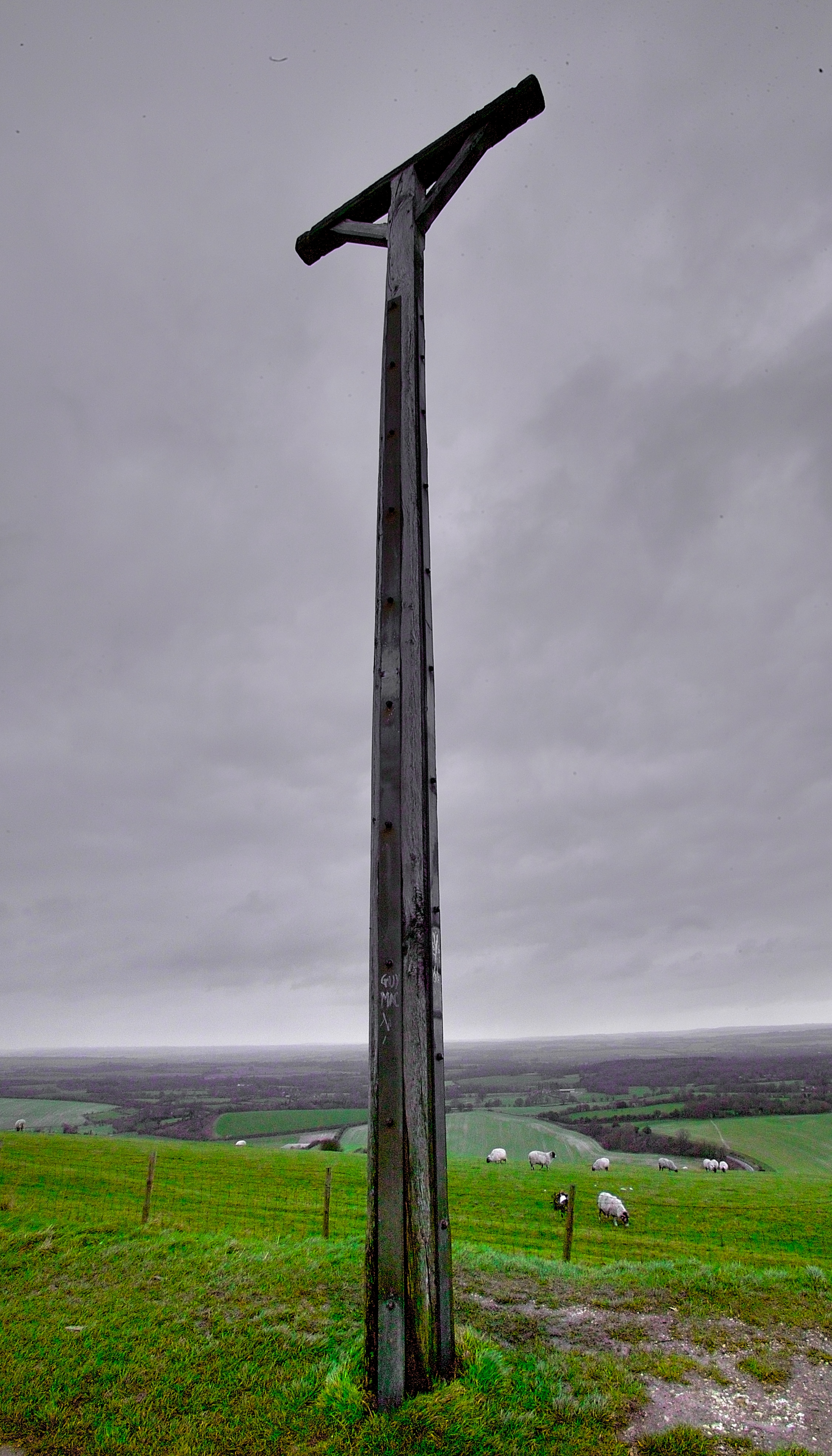
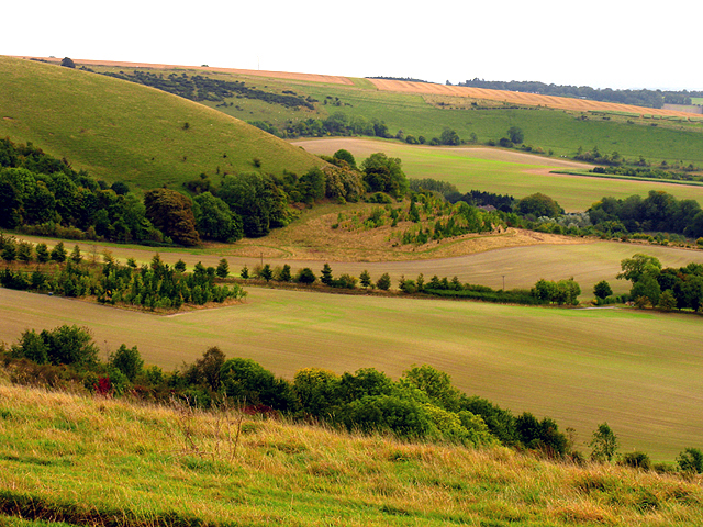
The landscape of Buttermere is characterized by its rolling hills and lush green fields, offering stunning views to its residents and visitors alike. The parish is surrounded by several other civil parishes, including Stratford Toney, West Dean, and Fovant.

The village of Buttermere itself is a charming and tranquil place, with a few scattered houses and cottages. It is primarily an agricultural area, with farming being the main occupation of the local residents. The rich and fertile soil of the region supports the cultivation of various crops and the rearing of livestock.

Buttermere is known for its close proximity to the famous Stonehenge, a prehistoric monument that attracts tourists from all over the world. The parish is also situated near the A30 road, providing easy access to nearby towns and cities.

Despite its small size, Buttermere offers a peaceful and idyllic countryside living experience. It is a place where residents can enjoy the beauty of nature, take leisurely walks, and find respite from the hustle and bustle of city life.

If you have any feedback on the listing, please let us know in the comments section below.

Buttermere Images

Images are sourced within 2km of 51.345368/-1.512674 or Grid Reference SU3460. Thanks to Geograph Open Source API. All images are credited.

Farmland, Buttermere A cereal crop and shallow dry valley to the west of Heath Lane.
Farmland, Buttermere
A cereal crop and shallow dry valley to the west of Heath Lane.
Pasture, Buttermere A bridleway approaching the junction of paths below Rockmoor Down.
Pasture, Buttermere
A bridleway approaching the junction of paths below Rockmoor Down.
Farmland, Vernhams Dean A permitted footpath follows the edge of this field of barley to the east of Upper Horns Farm.
Farmland, Vernhams Dean
A permitted footpath follows the edge of this field of barley to the east of Upper Horns Farm.
Fields near Upper Horns Farm
Timber from Buttermere Wood
The track to Vernham Dean At the crossroads just behind the photographer, the arms of the signpost point north, east, south (this track) and west. But only north and east are on surfaced roads. It would be unwise to take a normal car south or west!
The track to Vernham Dean
At the crossroads just behind the photographer, the arms of the signpost point north, east, south (this track) and west. But only north and east are on surfaced roads. It would be unwise to take a normal car south or west!
Descending the Test Way Approaching a crossroads of paths with the Test Way continuing to the left at the foot of this hill.
Descending the Test Way
Approaching a crossroads of paths with the Test Way continuing to the left at the foot of this hill.
Path crossroads on the Test Way
Rockmoor Lane crossroads within Heath Plantation
Rockmoor Lane junction with Heath Lane Call me fanciful: but do the trees resemble heads, talking to one another across the lane?
Rockmoor Lane junction with Heath Lane
Call me fanciful: but do the trees resemble heads, talking to one another across the lane?
Lane junction on Hungerford Road
Direction Sign – Signpost on Rockmoor Lane in Vernhams Dean Located on the southwest side of a crossroads of Rockmoor Lane and two lanes in Heath Plantation. Vernhams Dean parish. 4 arms and annulus finial. See also <a title="https://www.geograph.org.uk/photo/985178" href="https://www.geograph.org.uk/photo/985178">Link</a>.

Milestone Society National ID: HA_SU3458
Direction Sign – Signpost on Rockmoor Lane in Vernhams Dean
Located on the southwest side of a crossroads of Rockmoor Lane and two lanes in Heath Plantation. Vernhams Dean parish. 4 arms and annulus finial. See also Link. Milestone Society National ID: HA_SU3458
Footpath to Ballyack House
Looking South
Looking South
Heath Plantation Crossroads
On the Test Way near Buttermere The route has wandered some way from the river, out of Hampshire and along the Berkshire/Wiltshire boundary. It is strange to see Hampshire County Council waymarkers here. The path, which links up with the Wayfarers' Walk between Gallows Down and Walbury Hill, turns left here into Combe Wood.
On the Test Way near Buttermere
The route has wandered some way from the river, out of Hampshire and along the Berkshire/Wiltshire boundary. It is strange to see Hampshire County Council waymarkers here. The path, which links up with the Wayfarers' Walk between Gallows Down and Walbury Hill, turns left here into Combe Wood.
Beside Combe Wood The Test Way descends between the trees opposite.
Beside Combe Wood
The Test Way descends between the trees opposite.
Footpath through wheat, Henley The route of the path heading ENE from Moordown Farm is, unlike some locally, clearly marked. The path soon heads out of the grid-square on its way towards Buttermere such that the copse to the left is outside of the grid-square though most of the hedgerow in the valley is within it.
Footpath through wheat, Henley
The route of the path heading ENE from Moordown Farm is, unlike some locally, clearly marked. The path soon heads out of the grid-square on its way towards Buttermere such that the copse to the left is outside of the grid-square though most of the hedgerow in the valley is within it.
Show me another place!

Buttermere is located at Grid Ref: SU3460 (Lat: 51.345368, Lng: -1.512674)

Unitary Authority: Wiltshire

Police Authority: Wiltshire

What 3 Words

///spooked.trickled.tower. Near Shalbourne, Wiltshire

Related Wikis

Buttermere, Wiltshire

Buttermere is a small village and civil parish on the eastern boundary of Wiltshire, England, about 4.5 miles (7 km) south of Hungerford and 10 miles...

Ham Hill, Wiltshire

Ham Hill is a hill and area of chalk downland in Wiltshire, England, on the steep banks running alongside the road from the village of Ham to Buttermere...

Inkpen Hill

Inkpen Hill is a summit in Berkshire, England, with a maximum elevation of 291 m (955 ft). The hill is about 7 miles (11 km) southwest of Newbury on the...

Combe Wood and Linkenholt Hanging

Combe Wood and Linkenholt Hanging is a 106.5-hectare (263-acre) biological Site of Special Scientific Interest south of Hungerford in Berkshire. It is...

Combe Gibbet

Combe Gibbet is a gibbet at the top of Gallows Down, near the village and just within the civil parish of Combe in Berkshire (formerly Hampshire), England...

Ham, Wiltshire

Ham is a small village and civil parish in Wiltshire, England. The parish borders the county of Berkshire, and the village lies about 3+1⁄4 miles (5.2...

Inkpen and Walbury Hills

Inkpen and Walbury Hills is an 86.8-hectare (214-acre) biological Site of Special Scientific Interest south of Kintbury in Berkshire. The site is situated...

Little Down

Little Down (or Littledown) is a village in Hampshire, England, on the North Downs near the county boundaries with Berkshire and Wiltshire. It lies just...

Nearby Amenities

Located within 500m of 51.345368,-1.512674
Ele: 256.9
Lat/Long: 51.3441523/-1.5120573
Buttermere
Place: hamlet
Lat/Long: 51.3492842/-1.5124548
Post Box
Operator: Royal Mail
Post Box Type: lamp
Ref: SN8 116
Royal Cypher: EIIR
Royal Cypher Wikidata: Q33102113
Lat/Long: 51.3471633/-1.5114972
Booth: K6
Covered: booth
Disused Amenity: telephone
Man Made: telephone_box
Lat/Long: 51.3472075/-1.5115306
Give Way
Direction: backward
Lat/Long: 51.3472754/-1.5116277
The data included in this document is from www.openstreetmap.org. The data is made available under ODbL.

Have you been to Buttermere?

Leave your review of Buttermere below (or comments, questions and feedback).