Bushwood

Civil Parish in Warwickshire Warwick

England

Bushwood

Grand Union Canal near Turner's Green
Grand Union Canal near Turner's Green Credit: Mark Percy

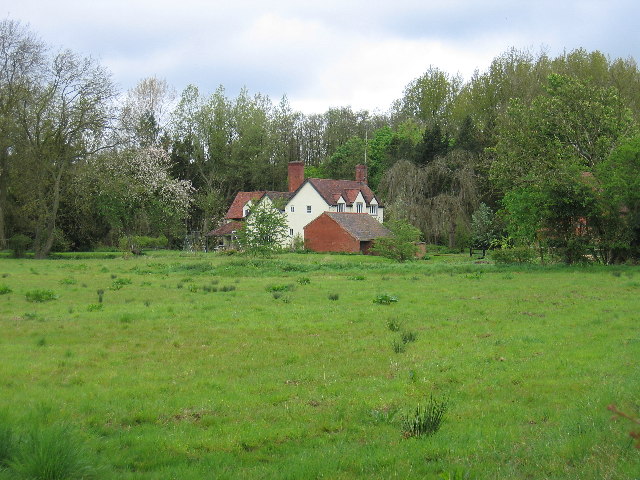
Bushwood is a small civil parish located in the county of Warwickshire, in the West Midlands region of England. It covers an area of approximately 2 square miles and has a population of around 300 residents. The parish is situated in a rural setting, surrounded by picturesque countryside and farmland.

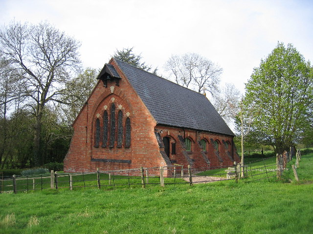
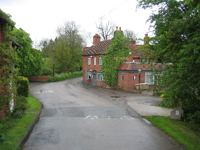
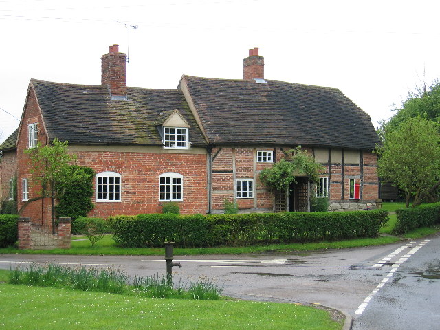
The village itself is characterized by its quaint and charming atmosphere, with traditional stone houses and a sense of community. It has a local church, which serves as a focal point for religious activities and community gatherings. The parish also has a primary school, providing education for the local children.

Despite its small size, Bushwood offers a range of amenities and services to its residents. There is a village hall that hosts various social events and activities throughout the year, such as community meetings, classes, and celebrations. Additionally, there are a few small businesses in the area, including a local grocery store and a post office, ensuring that residents have access to essential goods and services close to home.

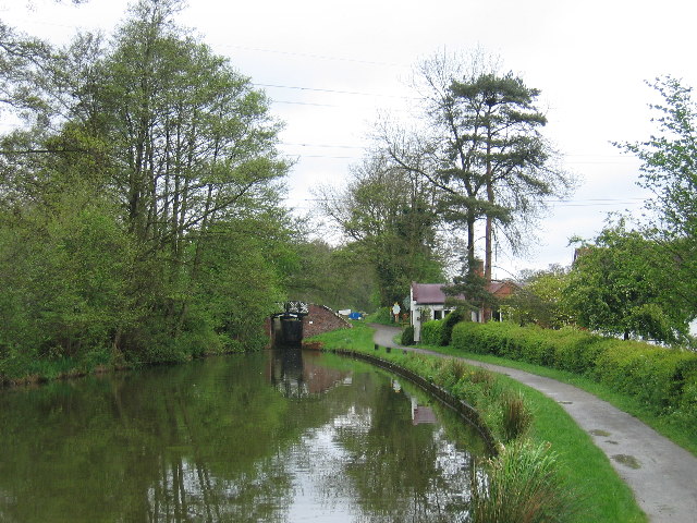
The natural beauty of the surrounding countryside provides ample opportunities for outdoor activities and recreation. Residents and visitors can enjoy scenic walks, cycling trails, and fishing in the nearby rivers and lakes. The parish is also located close to several larger towns and cities, such as Warwick and Coventry, offering additional amenities and attractions within a short drive.

Overall, Bushwood is a peaceful and idyllic civil parish that offers a close-knit community, natural beauty, and a range of amenities for its residents to enjoy.

If you have any feedback on the listing, please let us know in the comments section below.
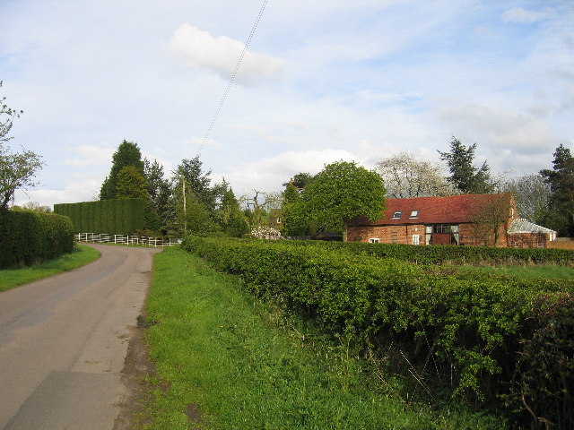
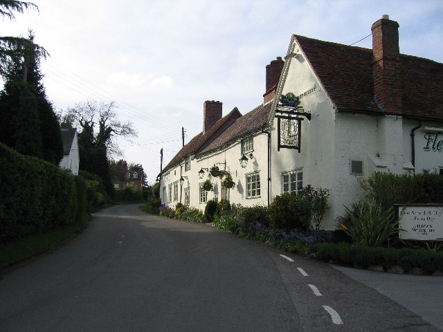
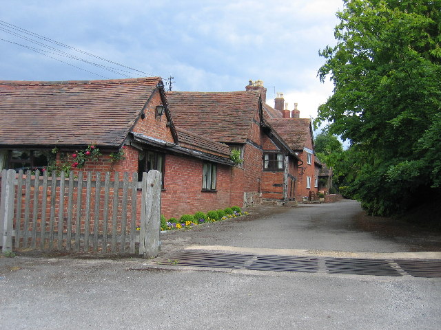
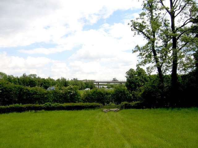
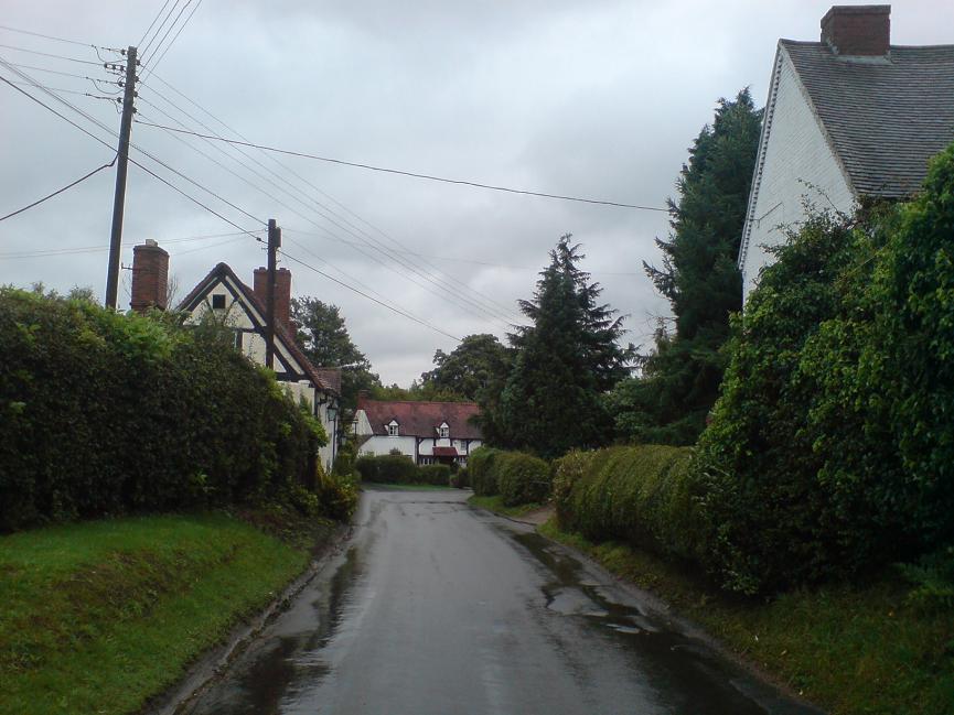
Bushwood Images

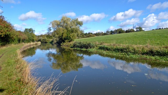
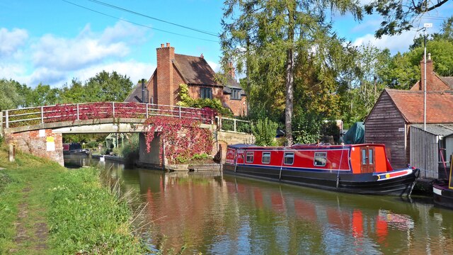
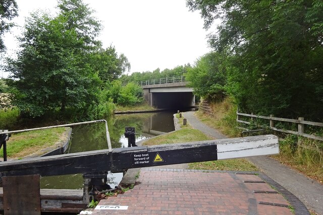
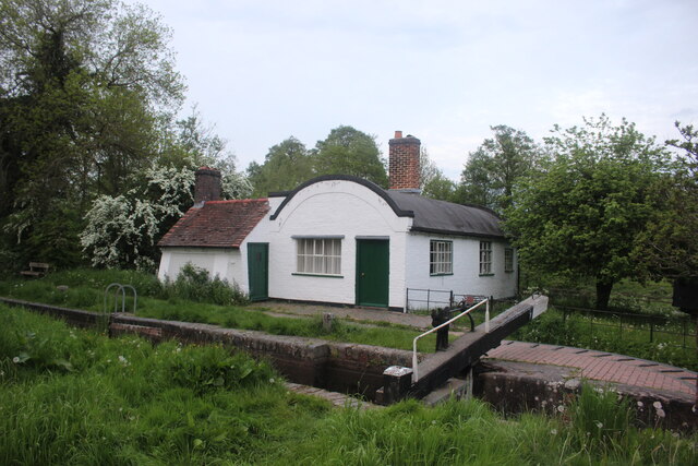
Images are sourced within 2km of 52.314471/-1.740876 or Grid Reference SP1768. Thanks to Geograph Open Source API. All images are credited.

Grand Union Canal near Turner's Green
Grand Union Canal at Turner's Green
Kingswood-Stratford Canal M40 Motorway Bridge.
Kingswood-Stratford Canal
M40 Motorway Bridge.
Lock Keeper's Cottage, Lock 31, Stratford Upon Avon Canal. This is a relatively unaltered barrel roofed lock keeprs cottage located next to the bridge in Lowsonford where the road to Shrewley crosses the canal.
Lock Keeper's Cottage, Lock 31, Stratford Upon Avon Canal.
This is a relatively unaltered barrel roofed lock keeprs cottage located next to the bridge in Lowsonford where the road to Shrewley crosses the canal.
Lock Keeper's Cottage Lock 31 Stratford Upon Avon Canal Barrel roofed cottage located adjacent to the canal lock. Photo taken from the bridge where Narrow Lane crosses the canal.
Lock Keeper's Cottage Lock 31 Stratford Upon Avon Canal
Barrel roofed cottage located adjacent to the canal lock. Photo taken from the bridge where Narrow Lane crosses the canal.
Turner's Green Bridge
Lowsonford Bridge
Lowsonford Bridge
Lowsonford The Stratford-upon-Avon canal passing the gardens of the Fleur de lys public house in Lowsonford
Lowsonford
The Stratford-upon-Avon canal passing the gardens of the Fleur de lys public house in Lowsonford
Willowbrook House Along with attendant barn conversion
Willowbrook House
Along with attendant barn conversion
Fleur de Lys, Lowsonford This canalside pub is now a popular dining out venue.  It was also the original home of the famed Fleur de Lys pies before their popularity and success resulted in their manufacture being moved to Emscote Mill in Warwick (see <a href="https://www.geograph.org.uk/photo/1210164">SP2965 : Site of Emscote Mill</a> ).
Fleur de Lys, Lowsonford
This canalside pub is now a popular dining out venue. It was also the original home of the famed Fleur de Lys pies before their popularity and success resulted in their manufacture being moved to Emscote Mill in Warwick (see SP2965 : Site of Emscote Mill ).
St Luke's A small chapel on the edge of Lowsonford
St Luke's
A small chapel on the edge of Lowsonford
Bushwood Hall This moated building is seen from the adjacent fields
Bushwood Hall
This moated building is seen from the adjacent fields
Dick's Lane Bridge On the Southern Stratford upon Avon Canal with a lock just beyond and one of the characteristic barrel roofed lock keepers cottages in the trees
Dick's Lane Bridge
On the Southern Stratford upon Avon Canal with a lock just beyond and one of the characteristic barrel roofed lock keepers cottages in the trees
Turner's Green The Tom O'the Wood public house, taken from the bridge over the adjacent Grand Union Canal
Turner's Green
The Tom O'the Wood public house, taken from the bridge over the adjacent Grand Union Canal
Lowsonford lock The lock at Lowsonford on the Stratford-upon-Avon canal.  The distinctive shape of the roof on the former lock keeper's cottage is said to be due to it being built using the formers that were originally used to construct the brick arch bridges on the canal.
Lowsonford lock
The lock at Lowsonford on the Stratford-upon-Avon canal. The distinctive shape of the roof on the former lock keeper's cottage is said to be due to it being built using the formers that were originally used to construct the brick arch bridges on the canal.
Lowsonford The cottages and village pump at the junction with Mill Lane
Lowsonford
The cottages and village pump at the junction with Mill Lane
Finwood Farm Now converted into housing
Finwood Farm
Now converted into housing
Rowington Junction The site of Rowington Junction, between the Birmingham - Leamington Spa main line and the original branch to Henley-in-Arden is buried under the M40 and the bridge visible on the skyline.  The 1992 1:50,000 OS Map showed this road going under the railway and motorway rather than over it!
Rowington Junction
The site of Rowington Junction, between the Birmingham - Leamington Spa main line and the original branch to Henley-in-Arden is buried under the M40 and the bridge visible on the skyline. The 1992 1:50,000 OS Map showed this road going under the railway and motorway rather than over it!
Show me another place!

Bushwood is located at Grid Ref: SP1768 (Lat: 52.314471, Lng: -1.740876)

Administrative County: Warwickshire

District: Warwick

Police Authority: Warwickshire

What 3 Words

///pods.gasping.train. Near Henley in Arden, Warwickshire

Nearby Locations

Bushwood Bush Wood

Related Wikis

Bushwood

Bushwood is a hamlet in Warwickshire, located three miles north of Henley in Arden and a mile west of the M40 motorway. There is no village centre as such...

Lowsonford

Lowsonford is a small village within the parish of Rowington in Warwickshire, England. The village lies 4 miles (6.4 km) north-east of Henley-in-Arden...
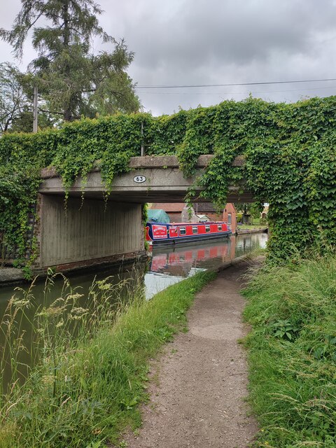
Yarningale Aqueduct

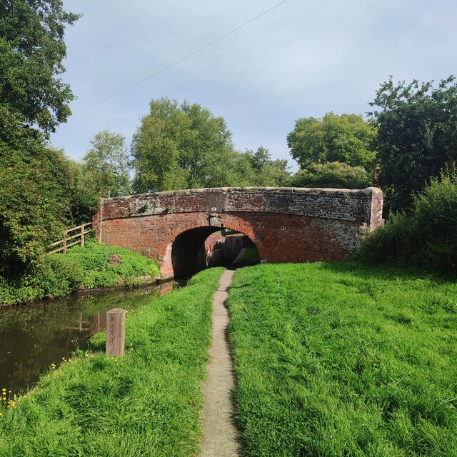
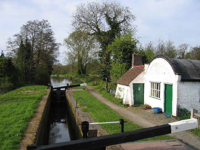
Yarningale Aqueduct is one of three aqueducts on a 4 miles (6 km) length of the Stratford-upon-Avon Canal in Warwickshire. It spans the Kingswood Brook...

Buckley Green

Buckley Green is a small village and village green situated 0.75 miles north of Henley-in-Arden, Warwickshire. Population details can be found under Beaudesert
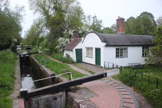
Kingswood Junction

Kingswood Junction (grid reference SP185709) is a canal junction where the Stratford-upon-Avon Canal meets the Grand Union Canal at Kingswood, Warwickshire...

Preston Bagot

Preston Bagot is a village and civil parish in the Stratford district of Warwickshire, England, about 6 miles (9.7 km) west of the county town of Warwick...

Rowington

Rowington is a village and civil parish in the English county of Warwickshire. It is five miles north-west of the town of Warwick and five miles south...

Lapworth

Lapworth is a village and civil parish in Warwickshire, England, which had a population of 2,100 according to the 2001 census; this had fallen to 1,828...

Related Videos

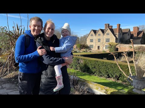
A welly walking exploration at Packwood House

Owned by the National trust since 1941, Packwood house is a timber framed, grade 1 listed, Tudor Manor House. It certainly is a ...

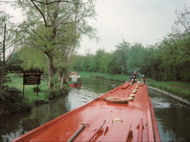
Walking The Grand Union Canal (Part 7)

I continue my walk along the towpath of the Grand Union Canal. Starting at Kingswood Junction where we finished in the last part ...

Walking The South Stratford Canal (Part 1)

A walk along the southern end of the Stratford Upon Avon Canal. In this first part we begin at Kingswood Junction where the South ...

Unbelievable Ending!

uk #england #travel #village #house #mystery #mystic #magic #nature #englandtourism #britishcozymysteryaudiobooks ...

Nearby Amenities

Located within 500m of 52.314471,-1.740876
Power: tower
Source: bing
Lat/Long: 52.3185956/-1.7399755
Power: tower
Source: bing
Lat/Long: 52.3148452/-1.7447921
Power: tower
Source: Bing
Lat/Long: 52.3164356/-1.74276
Bench
Source: survey
Lat/Long: 52.3112957/-1.7401754
Bushwood Lodge 11kV
Power: pole
Ref: 931702
Source: wpd_opendata
Transformer: distribution
Lat/Long: 52.3150821/-1.7375001
Power: pole
Source: bing
Lat/Long: 52.3155068/-1.7363763
Power: pole
Source: bing
Lat/Long: 52.315902/-1.7352229
Barrier: kissing_gate
Source: survey
Lat/Long: 52.3164541/-1.7358419
Barrier: kissing_gate
Source: survey
Lat/Long: 52.3166382/-1.7382029
The data included in this document is from www.openstreetmap.org. The data is made available under ODbL.

Have you been to Bushwood?

Leave your review of Bushwood below (or comments, questions and feedback).