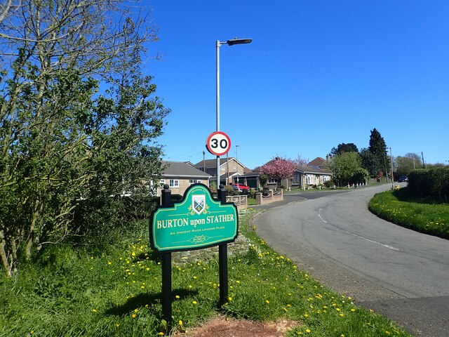
Burton upon Stather
Civil Parish in Lincolnshire
England
Burton upon Stather
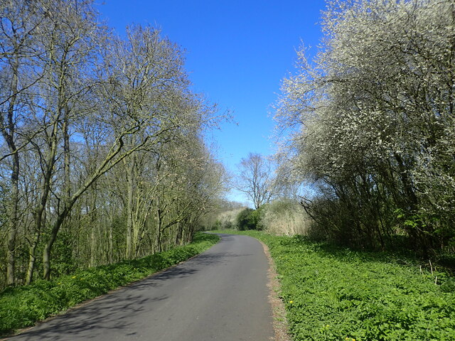
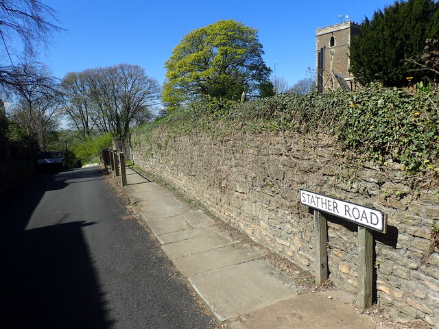
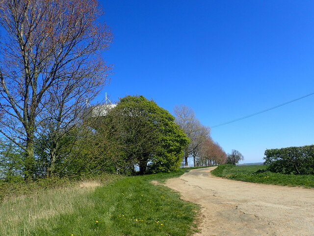
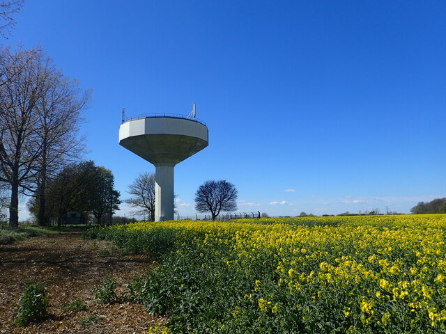
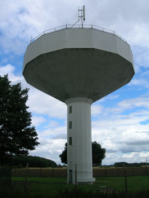
Burton upon Stather is a small village and civil parish located in the North Lincolnshire district of Lincolnshire, England. Situated on the western bank of the River Trent, it is approximately 7 miles northwest of Scunthorpe and 31 miles east of Doncaster. The village is surrounded by scenic countryside and offers a peaceful and picturesque setting for its residents.
Historically, Burton upon Stather was an important port and trading center, benefiting from its location on the river. In the past, it was known for its brickworks and coal mining industry, which contributed to the village's growth and prosperity.
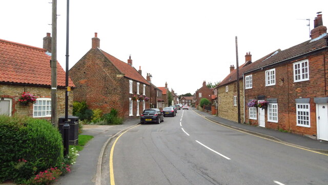
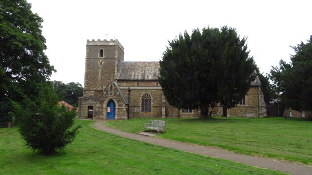
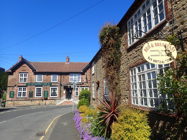
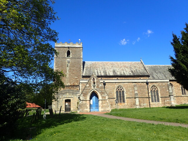
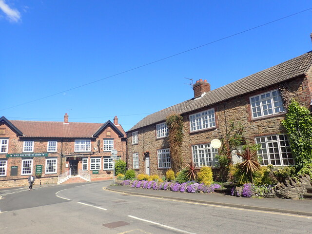
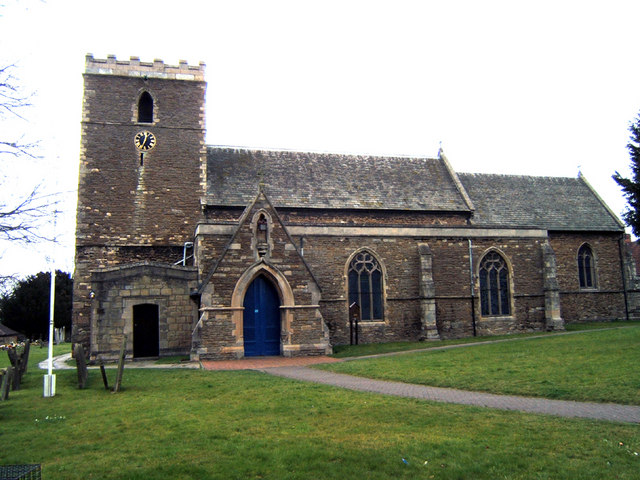
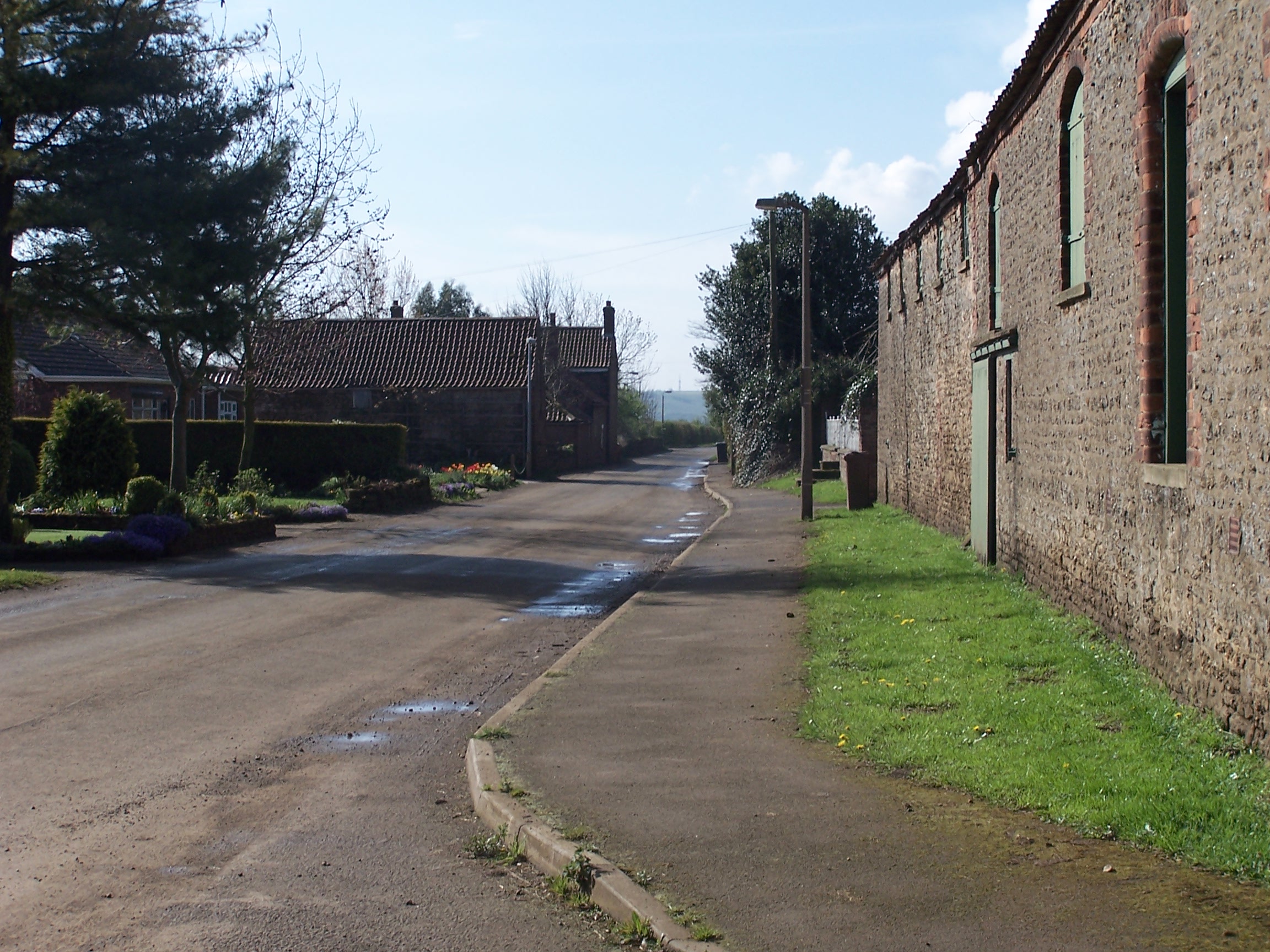
Today, the village retains its rural charm and is primarily residential, with a population of around 1,000 people. The parish includes several nearby hamlets, including Normanby, Gunness, and Coleby. The village has a primary school, a village hall, and a parish church, which dates back to the 12th century and is dedicated to St. Andrew.
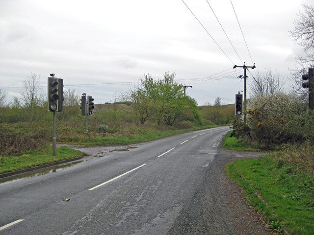
The area is popular with visitors due to its natural beauty and proximity to the River Trent. There are several walking and cycling routes in the vicinity, providing opportunities for outdoor recreation. The village also has a pub and a few local shops, serving the needs of both locals and tourists.
Overall, Burton upon Stather offers a peaceful and idyllic lifestyle in a rural setting, with a rich history and beautiful surroundings.
If you have any feedback on the listing, please let us know in the comments section below.
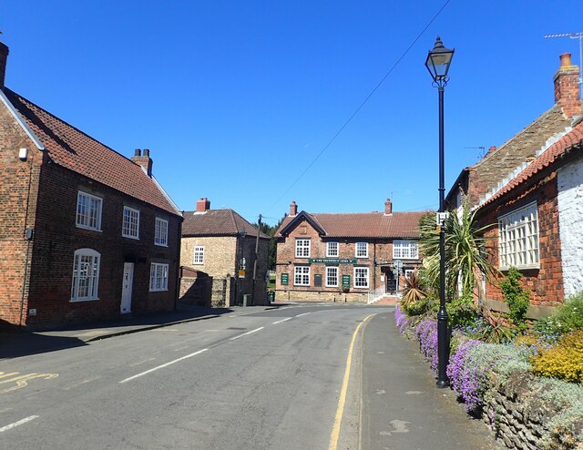
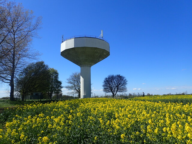
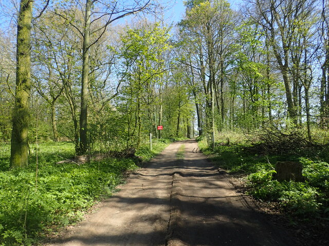
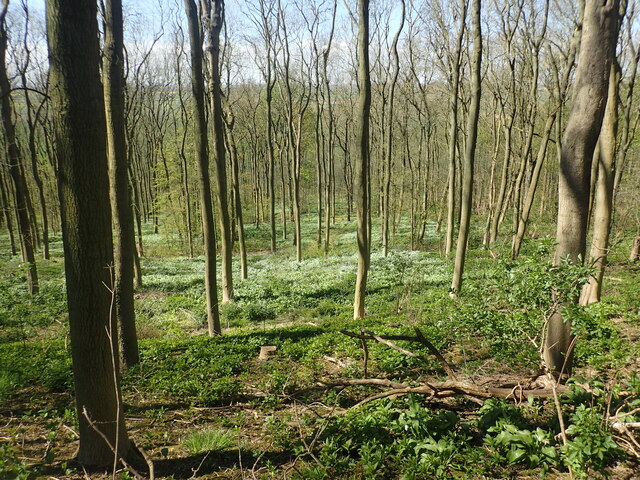
Burton upon Stather Images
Images are sourced within 2km of 53.644772/-0.666077 or Grid Reference SE8817. Thanks to Geograph Open Source API. All images are credited.


Burton upon Stather is located at Grid Ref: SE8817 (Lat: 53.644772, Lng: -0.666077)
Unitary Authority: North Lincolnshire
Police Authority: Humberside
What 3 Words
///replying.exactly.stale. Near Burton upon Stather, Lincolnshire
Nearby Locations
Related Wikis
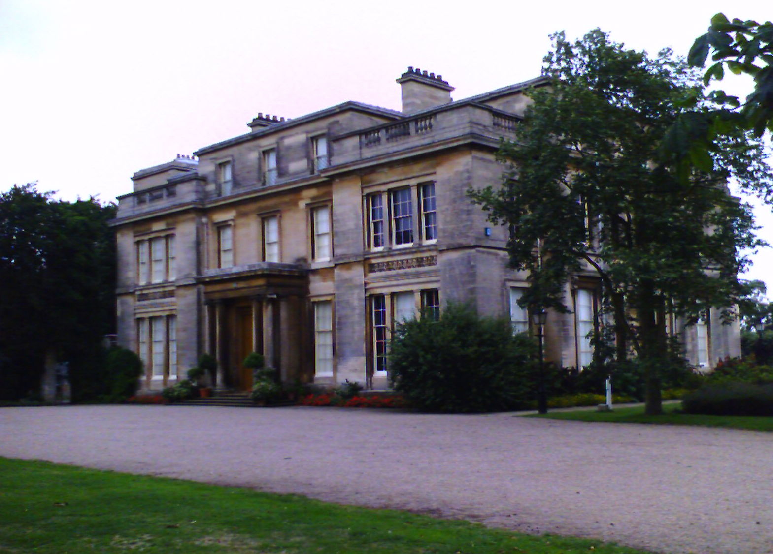
Normanby Hall
Normanby Hall is a classic English mansion, located near the village of Burton-upon-Stather, 5 miles (8 km) north of Scunthorpe, North Lincolnshire....
Burton upon Stather
Burton upon Stather, also hyphenated as Burton-upon-Stather, is a village and civil parish in North Lincolnshire, England. The village is situated 5 miles...

Flixborough
Flixborough is a village and civil parish in North Lincolnshire, England. The population of the civil parish at the 2011 census was 1,664. It is situated...
Winterton and Thealby railway station
Winterton and Thealby railway station was a station built by the North Lindsey Light Railway in Winterton, Lincolnshire, on their line from Scunthorpe...
Winterton Roman villa
Winterton Roman villa is a Roman villa in Winterton, North Lincolnshire. It was discovered in 1747. == Villa == The villa was built in the 2nd century...
Coleby, North Lincolnshire
Coleby is a hamlet in the civil parish of West Halton in North Lincolnshire, England. It is situated approximately 7 miles (11 km) north from Scunthorpe...

Waterton, Lincolnshire
Waterton is a Deserted Medieval Village on the River Trent near Garthorpe (where any residual population is included) and Luddington in the Isle of Axholme...
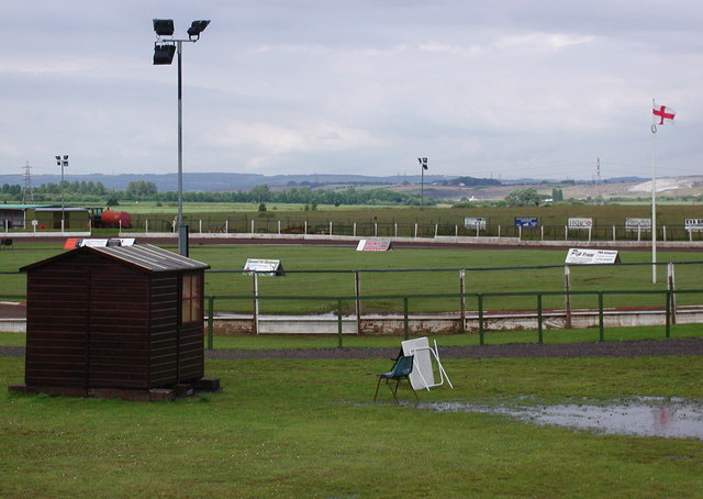
Eddie Wright Raceway
The Eddie Wright Raceway is a British race track in Scunthorpe, North Lincolnshire. It is primarily used for motorcycle speedway, but also occasionally...
Nearby Amenities
Located within 500m of 53.644772,-0.666077Have you been to Burton upon Stather?
Leave your review of Burton upon Stather below (or comments, questions and feedback).