Burton-cum-Walden

Civil Parish in Yorkshire Richmondshire

England

Burton-cum-Walden

Ruin on Wasset Fell The ruined remains of one of the buildings that was part of the mine workings, now disused.
Ruin on Wasset Fell Credit: Allan Sutton

Burton-cum-Walden is a civil parish located in the county of Yorkshire, England. It is situated approximately 5 miles east of the town of Richmond, within the Richmondshire district.

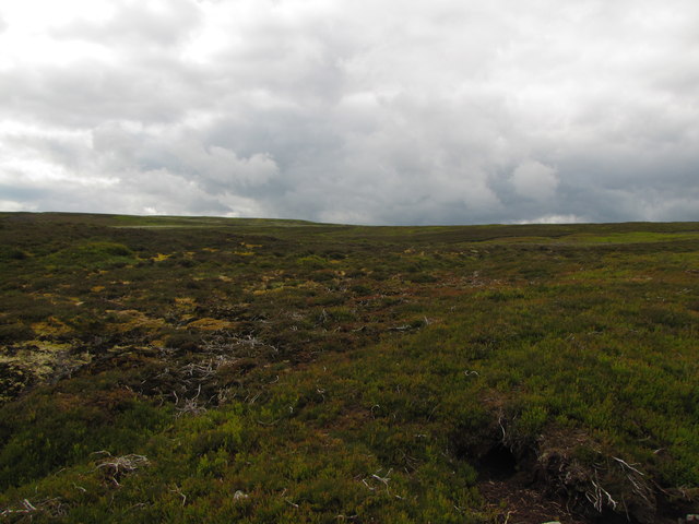
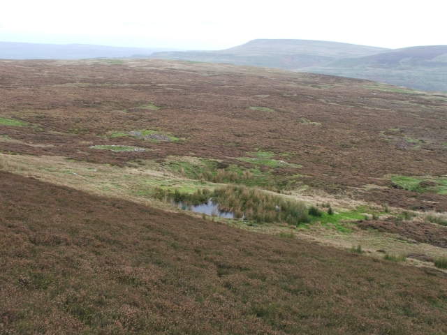
The parish covers an area of about 9 square miles and is characterized by its picturesque countryside, with rolling hills, green fields, and charming villages. It borders the River Swale to the south, which adds to its natural beauty. The landscape is predominantly rural, with agriculture being the main industry in the area.

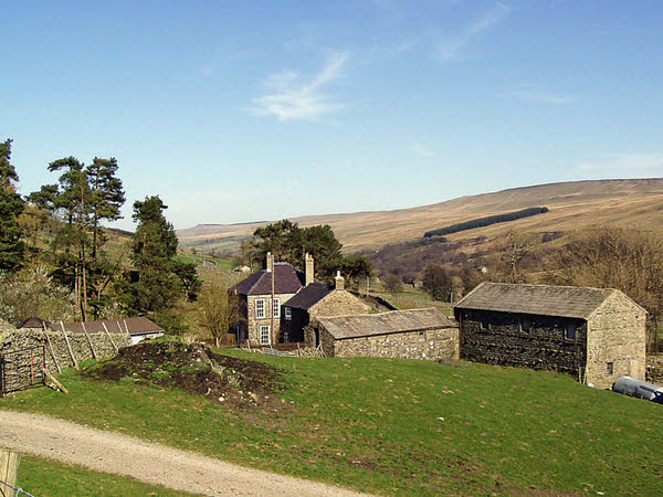
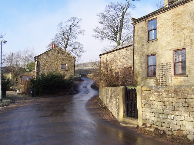
The parish consists of several small settlements, including Burton-on-Yore, Walden Head, and Walden Stubbs. These villages are home to a tight-knit community, with a population of around 300 residents.

Historically, the area has a rich heritage, with evidence of human activity dating back to the Roman period. There are remnants of Roman roads and a burial mound in the vicinity, highlighting the area's significance in the past.

Today, Burton-cum-Walden offers a peaceful and idyllic setting for its residents and visitors alike. It is known for its tranquil countryside, which attracts nature lovers, hikers, and outdoor enthusiasts. The area is also home to a variety of wildlife, including different bird species and small mammals.

Overall, Burton-cum-Walden is a charming civil parish in Yorkshire, known for its scenic beauty, rural lifestyle, and historical significance.

If you have any feedback on the listing, please let us know in the comments section below.

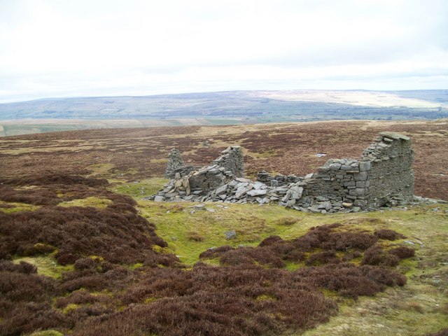
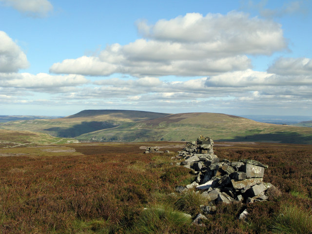
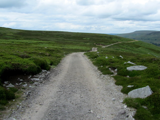
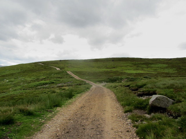
Burton-cum-Walden Images

Images are sourced within 2km of 54.232329/-2.002636 or Grid Reference SD9981. Thanks to Geograph Open Source API. All images are credited.

Ruin on Wasset Fell The ruined remains of one of the buildings that was part of the mine workings, now disused.
Ruin on Wasset Fell
The ruined remains of one of the buildings that was part of the mine workings, now disused.
Ruined wall north-east of Naughtberry Hill A ruined wall crossing the heather moor with Pen Hill seen distantly across Waldendale.
Ruined wall north-east of Naughtberry Hill
A ruined wall crossing the heather moor with Pen Hill seen distantly across Waldendale.
Lane outside Grange Farm Temple Lane approaching Walden Head, where it comes to a dead end.
Lane outside Grange Farm
Temple Lane approaching Walden Head, where it comes to a dead end.
Shooting Track on Wild Gath (1) Looking north east along a track that gives access to grouse shooting activities on the moors below Naughtberry Hill
Shooting Track on Wild Gath (1)
Looking north east along a track that gives access to grouse shooting activities on the moors below Naughtberry Hill
Shooting Track on Wild Gath (2) Looking south west along the shooting track on Wild Gath
Shooting Track on Wild Gath (2)
Looking south west along the shooting track on Wild Gath
Shooting Track above Walden Track elevated high above the dale called Walden.
Shooting Track above Walden
Track elevated high above the dale called Walden.
Lone walker on Track
Open Moorland on Naughtberry Hill
Track along Wild Gath
Track to Mile Stone Hill
Baxton Edge
Baxton Edge
Ruins of Shooting Hut
Line of Grouse Butts Yet more brand spanking new grouse killing paraphernalia in this area.
Line of Grouse Butts
Yet more brand spanking new grouse killing paraphernalia in this area.
Black Gutter Hole. A large sink hole where the Black Gutter water disappears underground before reappearing further down the hill.
Black Gutter Hole.
A large sink hole where the Black Gutter water disappears underground before reappearing further down the hill.
Drystone Wall on Moorland. From this point on this wall is in a poor state of repair, even non existent in places.  Looking from the break where a new and as yet unmarked grouse track has breached the wall towards Naughtberry Hill.
Drystone Wall on Moorland.
From this point on this wall is in a poor state of repair, even non existent in places. Looking from the break where a new and as yet unmarked grouse track has breached the wall towards Naughtberry Hill.
Ruin and Cairns on Wassett Fell. This ruin stands very close to the top of Wassett Fell and may have been associated with the extensive lead mining in this area.  The small cairn in the middle isn't actually a cairn at all it is a support for a tray of grouse grit.
Ruin and Cairns on Wassett Fell.
This ruin stands very close to the top of Wassett Fell and may have been associated with the extensive lead mining in this area. The small cairn in the middle isn't actually a cairn at all it is a support for a tray of grouse grit.
Small Plantation near Wildgath End. Looking down from Wildgath End.  Height of Hazely and Harland Hill in the background.
Small Plantation near Wildgath End.
Looking down from Wildgath End. Height of Hazely and Harland Hill in the background.
Lady Wassett Well. In amongst all the old lead mine workings near to Wassett Fell top.
Lady Wassett Well.
In amongst all the old lead mine workings near to Wassett Fell top.
Show me another place!

Burton-cum-Walden is located at Grid Ref: SD9981 (Lat: 54.232329, Lng: -2.002636)

Division: North Riding

Administrative County: North Yorkshire

District: Richmondshire

Police Authority: North Yorkshire

What 3 Words

///magma.executive.newspaper. Near Leyburn, North Yorkshire

Related Wikis

Walden, North Yorkshire

Walden is a dale and hamlet in the Yorkshire Dales, North Yorkshire, England. The dale is a side dale of Wensleydale, sometimes known as Waldendale or...

Walden Head

Walden Head is a hamlet in the Yorkshire Dales, North Yorkshire. It lies 5 miles (8 km) of Aysgarth and to the north is a similar village Walden. The village...

Burton-cum-Walden

Burton-cum-Walden is a civil parish in North Yorkshire, England, in the Yorkshire Dales National Park. It had a population of 303 according to the 2011...

Woodale

Woodale is a hamlet in Coverdale in the Yorkshire Dales in England. It lies in the civil parish of Carlton Highdale in the Richmondshire district of North...

Carlton Highdale

Carlton Highdale is a civil parish in Coverdale, North Yorkshire, England. According to the 2001 census it had a population of 95. The parish covers the...

Braidley

Braidley is a hamlet in Coverdale in the Yorkshire Dales, England. It lies in the civil parish of Carlton Highdale in the Richmondshire district of North...

Newbiggin, south Wensleydale

Newbiggin is a village and civil parish in Bishopdale, a side dale on the south side of Wensleydale, in the Yorkshire Dales in North Yorkshire, England...

Bishopdale, North Yorkshire

Bishopdale is a dale in the Yorkshire Dales National Park in North Yorkshire, England. The dale is a side dale on the south side of Wensleydale, and extends...

Nearby Amenities

Located within 500m of 54.232329,-2.002636
Walden Bents
Place: locality
Source: os_25k_firstseries
Lat/Long: 54.2346573/-2.0039043
Power: pole
Lat/Long: 54.2342259/-1.9963358
Power: pole
Lat/Long: 54.233739/-1.9971588
Power: pole
Lat/Long: 54.2331479/-1.99816
Power: pole
Lat/Long: 54.2326155/-1.9990032
Power: pole
Lat/Long: 54.2320098/-1.9997836
Power: pole
Lat/Long: 54.2313292/-2.0006568
Power: pole
Lat/Long: 54.2306457/-2.0021273
Power: pole
Lat/Long: 54.230062/-2.0033368
Power: pole
Lat/Long: 54.2294943/-2.0045638
Power: pole
Lat/Long: 54.2288944/-2.0058185
The data included in this document is from www.openstreetmap.org. The data is made available under ODbL.

Have you been to Burton-cum-Walden?

Leave your review of Burton-cum-Walden below (or comments, questions and feedback).