Alcock Holt
Wood, Forest in Lincolnshire
England
Alcock Holt
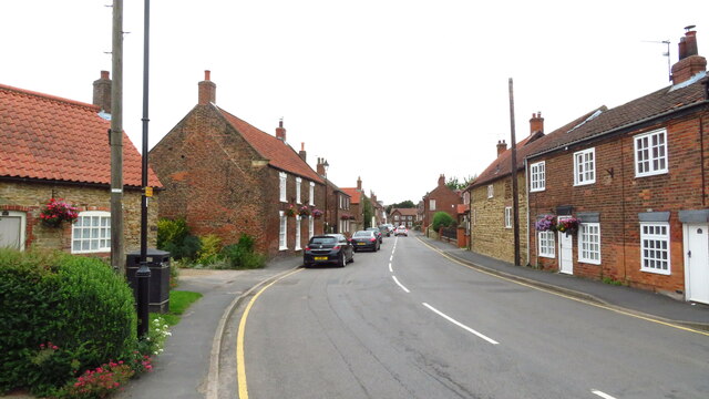
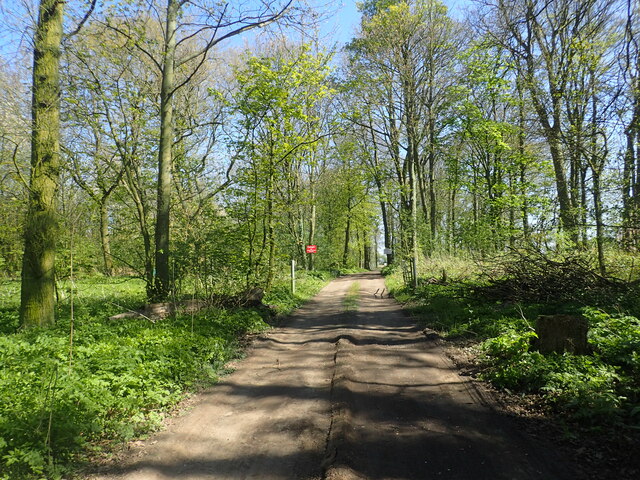
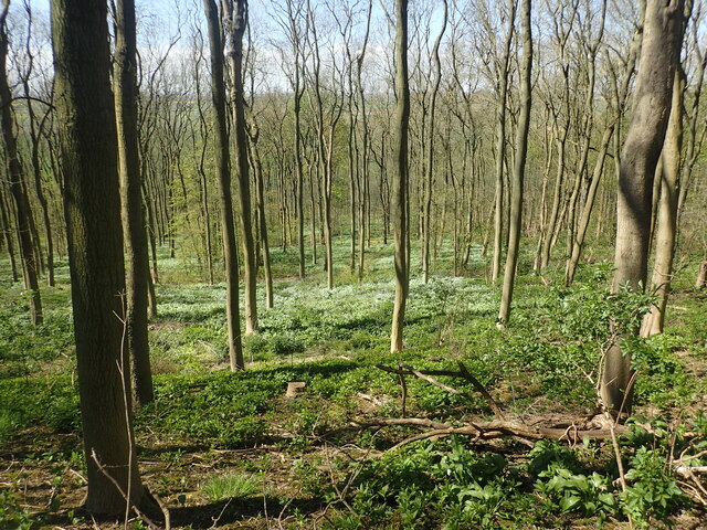
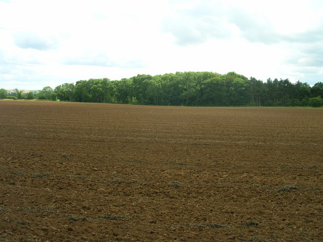
Alcock Holt is a picturesque woodland area located in Lincolnshire, England. It is a serene and tranquil spot, offering visitors a chance to escape from the hustle and bustle of city life. The woodland is situated in the northern part of the county, near the village of Wood and the town of Forest.
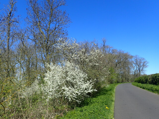
Covering an area of approximately 100 acres, Alcock Holt is home to a diverse range of flora and fauna. The woodland is dominated by towering oak and beech trees, creating a dense canopy that provides shade and shelters various species of wildlife. Visitors can expect to encounter a variety of birds, including woodpeckers and owls, as well as small mammals such as squirrels and hedgehogs.
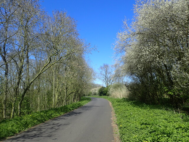
The woodland is crisscrossed with a network of well-maintained trails, making it an ideal location for leisurely walks and hikes. These trails offer stunning views of the surrounding countryside and provide opportunities for nature enthusiasts to observe and appreciate the woodland's natural beauty up close.
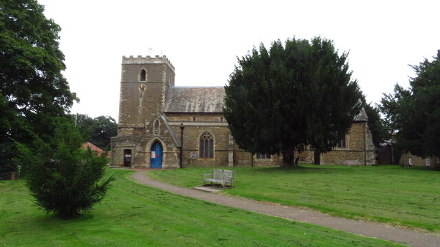
Alcock Holt is also rich in history and folklore. Local legends speak of hidden treasures buried within the woodland, adding an air of mystery and intrigue to the area. The woodland has been a popular destination for locals and tourists alike for generations, with many visitors drawn to its peaceful atmosphere and natural charm.
Overall, Alcock Holt is a hidden gem in Lincolnshire, offering visitors a chance to connect with nature, explore its beauty, and immerse themselves in its rich history.
If you have any feedback on the listing, please let us know in the comments section below.
Alcock Holt Images
Images are sourced within 2km of 53.642606/-0.66541179 or Grid Reference SE8817. Thanks to Geograph Open Source API. All images are credited.
Alcock Holt is located at Grid Ref: SE8817 (Lat: 53.642606, Lng: -0.66541179)
Unitary Authority: North Lincolnshire
Police Authority: Humberside
What 3 Words
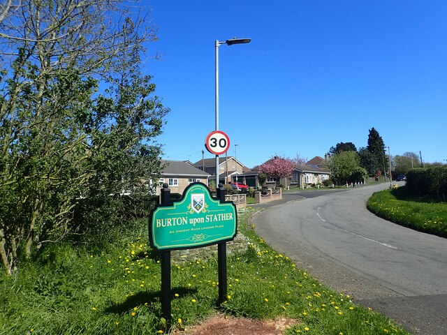
///strange.weedy.universal. Near Burton upon Stather, Lincolnshire
Nearby Locations
Related Wikis
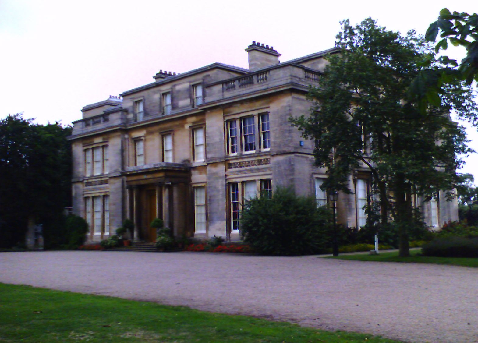
Normanby Hall
Normanby Hall is a classic English mansion, located near the village of Burton-upon-Stather, 5 miles (8 km) north of Scunthorpe, North Lincolnshire....
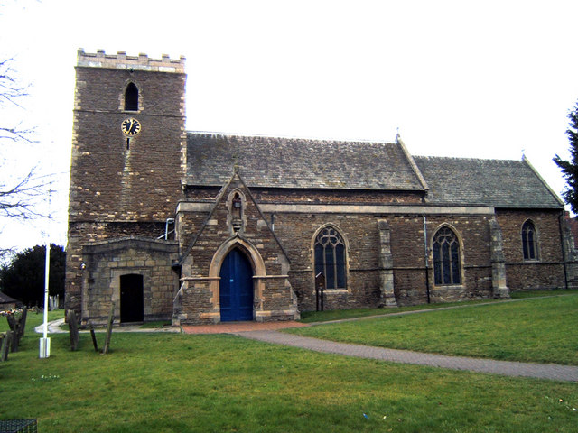
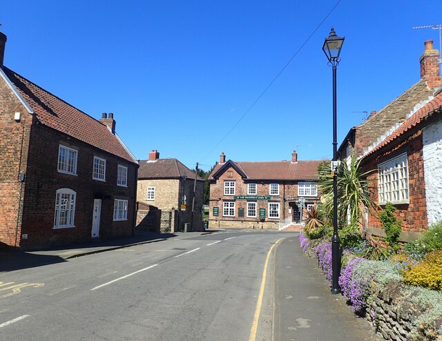
Burton upon Stather
Burton upon Stather, also hyphenated as Burton-upon-Stather, is a village and civil parish in North Lincolnshire, England. The village is situated 5 miles...

Flixborough
Flixborough is a village and civil parish in North Lincolnshire, England. The population of the civil parish at the 2011 census was 1,664. It is situated...
Winterton Roman villa
Winterton Roman villa is a Roman villa in Winterton, North Lincolnshire. It was discovered in 1747. == Villa == The villa was built in the 2nd century...
Winterton and Thealby railway station
Winterton and Thealby railway station was a station built by the North Lindsey Light Railway in Winterton, Lincolnshire, on their line from Scunthorpe...
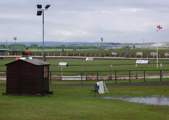
Eddie Wright Raceway
The Eddie Wright Raceway is a British race track in Scunthorpe, North Lincolnshire. It is primarily used for motorcycle speedway, but also occasionally...
Coleby, North Lincolnshire
Coleby is a hamlet in the civil parish of West Halton in North Lincolnshire, England. It is situated approximately 7 miles (11 km) north from Scunthorpe...

Waterton, Lincolnshire
Waterton is a Deserted Medieval Village on the River Trent near Garthorpe (where any residual population is included) and Luddington in the Isle of Axholme...
Nearby Amenities
Located within 500m of 53.642606,-0.66541179Have you been to Alcock Holt?
Leave your review of Alcock Holt below (or comments, questions and feedback).