Burton on the Wolds
Civil Parish in Leicestershire Charnwood
England
Burton on the Wolds

Burton on the Wolds is a civil parish located in the county of Leicestershire, England. Situated about 10 miles north of Loughborough, it is a small village with a population of around 1,000 residents. The village is known for its picturesque countryside, charming cottages, and historic buildings.
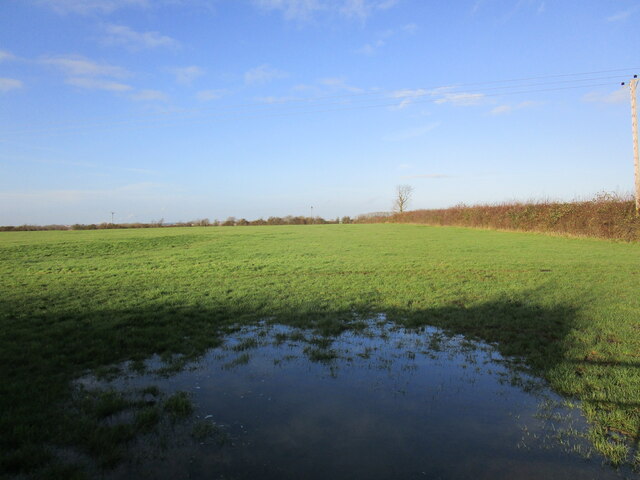
Surrounded by rolling hills and farmlands, Burton on the Wolds offers a peaceful and idyllic setting. The village is named after its location on the River Wolds, which adds to its natural beauty and provides opportunities for outdoor activities such as fishing and boating.
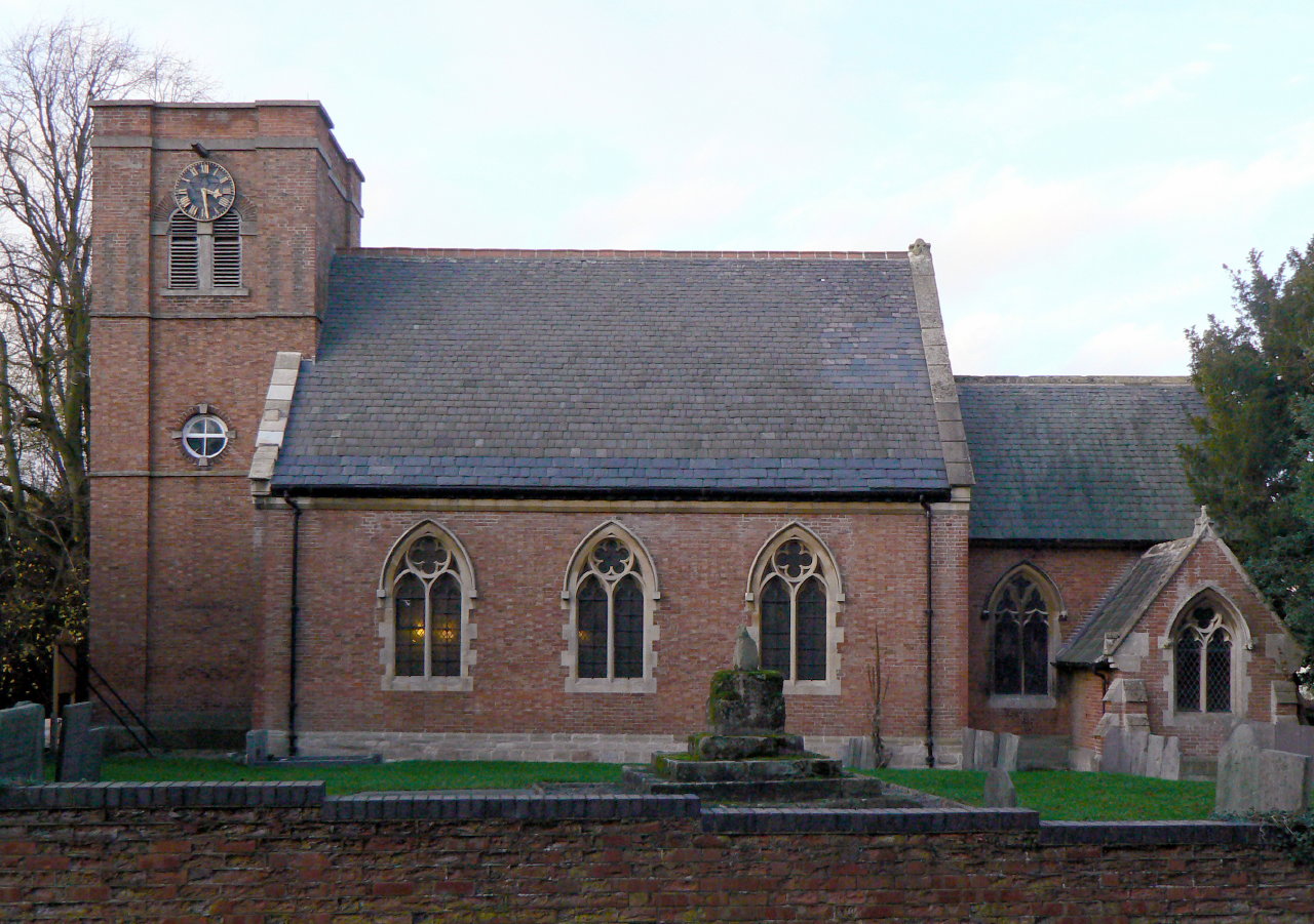
The heart of the village is centered around the All Saints Church, a Grade II listed building dating back to the 13th century. The church features a striking spire and beautiful stained glass windows, attracting visitors from far and wide. The village also boasts a primary school, village hall, and a traditional pub, creating a close-knit community atmosphere.
Despite its small size, Burton on the Wolds has a vibrant social scene with various community events and activities throughout the year. These include summer fairs, music festivals, and sports tournaments, bringing residents together and fostering a strong sense of community spirit.
The village benefits from its convenient location, with easy access to nearby towns and cities. Loughborough, a bustling market town, offers a range of amenities including shopping centers, leisure facilities, and educational institutions. The village is also well-connected by road and public transport, making it an attractive place to live for both families and commuters.
If you have any feedback on the listing, please let us know in the comments section below.
Burton on the Wolds Images
Images are sourced within 2km of 52.783597/-1.102396 or Grid Reference SK6021. Thanks to Geograph Open Source API. All images are credited.


Burton on the Wolds is located at Grid Ref: SK6021 (Lat: 52.783597, Lng: -1.102396)
Administrative County: Leicestershire
District: Charnwood
Police Authority: Leicestershire
What 3 Words
///securing.riverside.crouches. Near Burton on the Wolds, Leicestershire
Nearby Locations
Related Wikis

Burton on the Wolds
Burton on the Wolds is a village in Leicestershire, England situated on the B676 road 3 miles (4.8 km) west of the A46 and about the same distance to the...

Walton on the Wolds
Walton on the Wolds is a village and civil parish in the Charnwood district of Leicestershire, England. In the United Kingdom Census 2011 the parish had...

RAF Wymeswold
Royal Air Force Wymeswold, or more simply RAF Wymeswold, is a former Royal Air Force satellite station located 3.5 miles (5.6 km) north-east of Loughborough...
St Mary's Church, Walton on the Wolds
St. Mary's is a Grade II parish church situated in the village of Walton on the Wolds in Leicestershire. == Description == === Current benefice === St Mary...
Nearby Amenities
Located within 500m of 52.783597,-1.102396Have you been to Burton on the Wolds?
Leave your review of Burton on the Wolds below (or comments, questions and feedback).