Burton Overy
Civil Parish in Leicestershire Harborough
England
Burton Overy
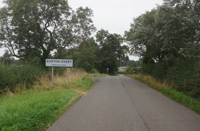
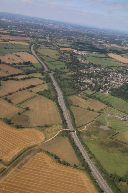
Burton Overy is a civil parish located in the county of Leicestershire, England. It is situated approximately 8 miles southeast of the city of Leicester and covers an area of about 3.7 square miles. The parish is part of the Harborough district and is surrounded by picturesque countryside.
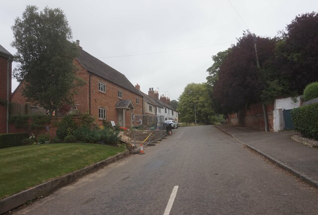
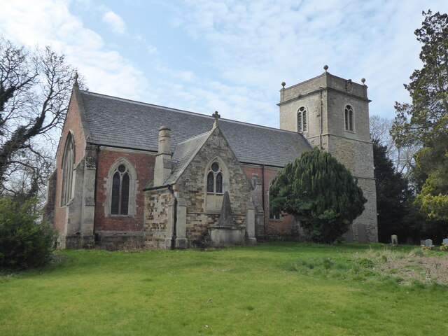
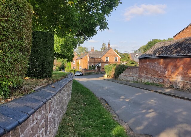
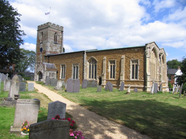
The village of Burton Overy itself is a charming and traditional English village with a population of around 200 people. It is known for its well-preserved historic buildings and quaint atmosphere. The village features a mix of architectural styles, including traditional thatched cottages, Georgian houses, and Victorian buildings. The St. Andrew's Church, a Grade I listed building, stands prominently in the village and adds to its historic character.
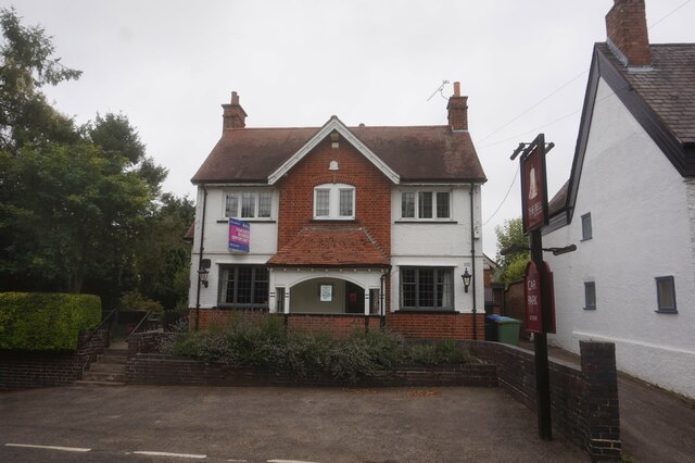
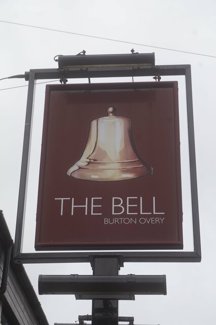
The village has a strong sense of community, with various social activities and events organized throughout the year. It boasts a village hall, which serves as a hub for community gatherings and events. There is also a pub, The Bell Inn, which is a popular meeting place for locals and visitors alike.
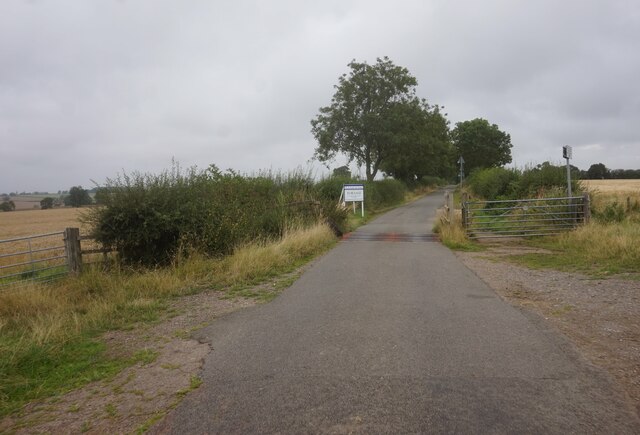
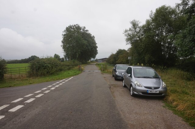
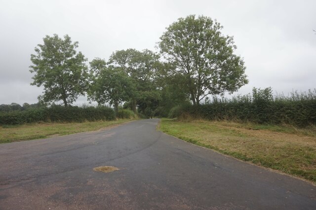
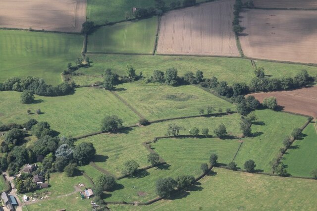
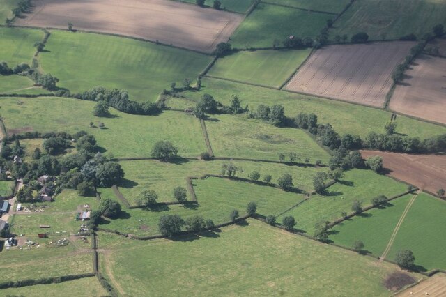
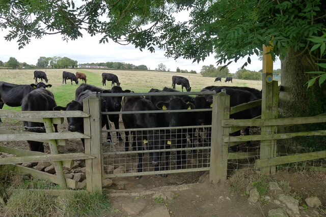
Surrounding the village, the parish is predominantly agricultural, with open fields and farmland stretching out into the distance. The landscape is dotted with hedgerows, woodlands, and small streams, providing a scenic backdrop for outdoor activities such as walking and cycling.
In summary, Burton Overy is a small and picturesque village in Leicestershire, characterized by its historic buildings, strong community spirit, and beautiful rural surroundings.
If you have any feedback on the listing, please let us know in the comments section below.
Burton Overy Images
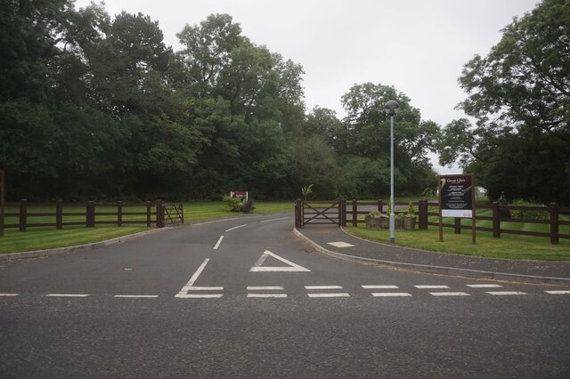
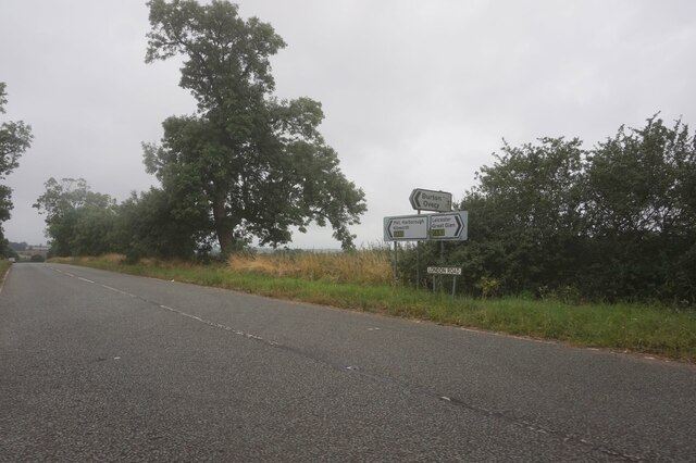
Images are sourced within 2km of 52.571226/-1.002698 or Grid Reference SP6797. Thanks to Geograph Open Source API. All images are credited.


Burton Overy is located at Grid Ref: SP6797 (Lat: 52.571226, Lng: -1.002698)
Administrative County: Leicestershire
District: Harborough
Police Authority: Leicestershire
What 3 Words
///rather.reeling.texts. Near Great Glen, Leicestershire
Nearby Locations
Related Wikis
Burton Overy
Burton Overy is a village and civil parish in the Harborough district of Leicestershire, about nine miles south-east of Leicester city centre, and not...

Carlton Curlieu
Carlton Curlieu is a small village and civil parish in the Harborough district of Leicestershire, about eleven miles south-east of Leicester city centre...
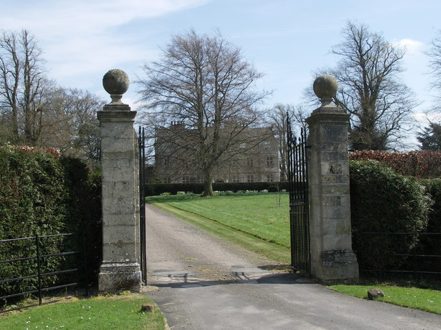
Carlton Curlieu Hall
Carlton Curlieu Hall is a privately owned 17th-century country house at Carlton Curlieu, Leicestershire. It is the home of the Palmer family and is a Grade...

Great Glen Methodist Church
Great Glen Methodist Church, Leicestershire, was built in 1827 and a church hall was later added to the east of the church in 1879. == The church today... ==
Nearby Amenities
Located within 500m of 52.571226,-1.002698Have you been to Burton Overy?
Leave your review of Burton Overy below (or comments, questions and feedback).