Burtholme

Civil Parish in Cumberland Carlisle

England

Burtholme

Burthinghurst Farmhouse and farm shed.
Burthinghurst Credit: Rose and Trev Clough

Burtholme is a civil parish located in the county of Cumberland, England. Situated in the northern part of the country, it lies within the district of Eden. The parish covers an area of approximately 15 square kilometers and is home to a small population.

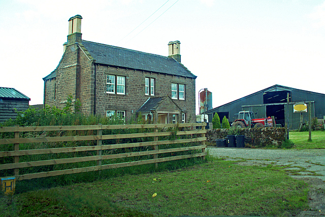
Burtholme is characterized by its picturesque countryside, with rolling hills, lush green fields, and charming villages. The landscape is dotted with traditional stone houses and quaint farms, adding to the area's rural charm. The parish is surrounded by natural beauty, including the nearby North Pennines Area of Outstanding Natural Beauty and the stunning Eden Valley.

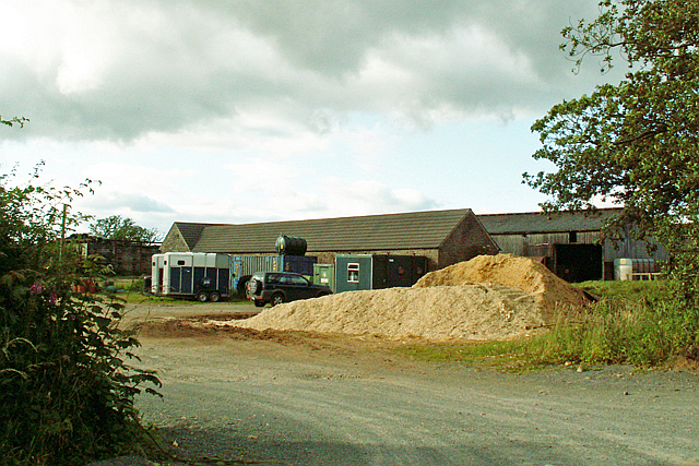
The economy of Burtholme is largely based on agriculture, with farming being the primary industry. The fertile soil and favorable climate in the area support the cultivation of crops and the rearing of livestock. The parish also benefits from its proximity to the market town of Brampton, which provides additional employment opportunities and services for the local community.

Burtholme is well-connected to neighboring towns and cities through a network of roads, making it easily accessible. The area offers a range of recreational activities for residents and visitors alike, including walking, hiking, and cycling in the surrounding countryside. The parish is also close to Hadrian's Wall, a UNESCO World Heritage site, which attracts tourists from around the world.

Overall, Burtholme is a charming and idyllic civil parish in Cumberland, offering a peaceful and scenic setting for its residents and visitors to enjoy.

If you have any feedback on the listing, please let us know in the comments section below.
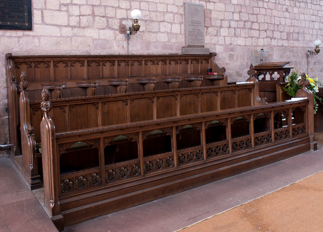
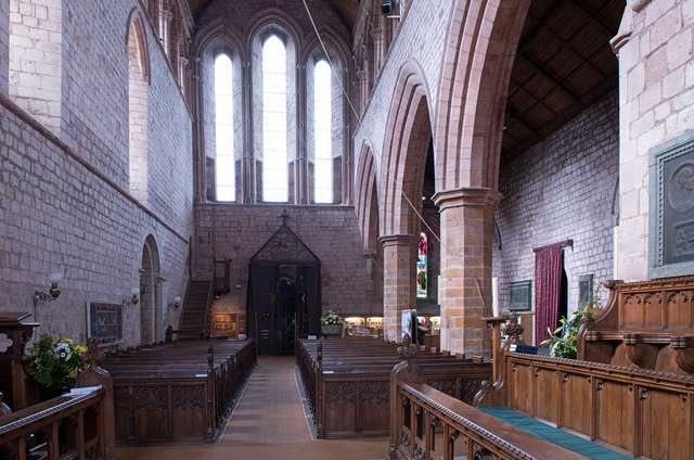
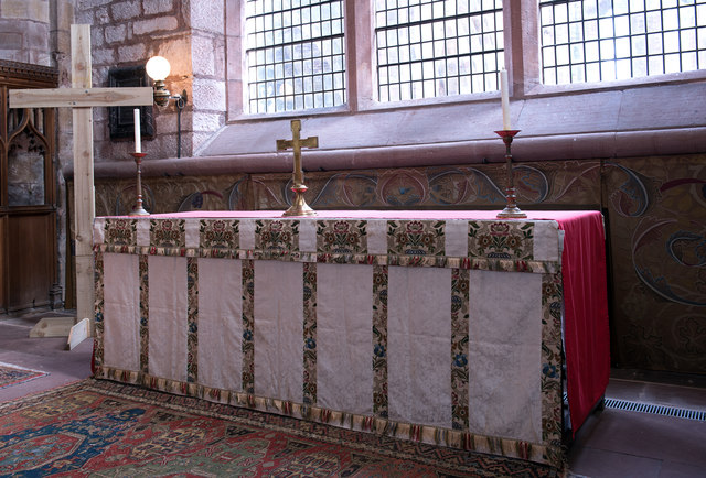
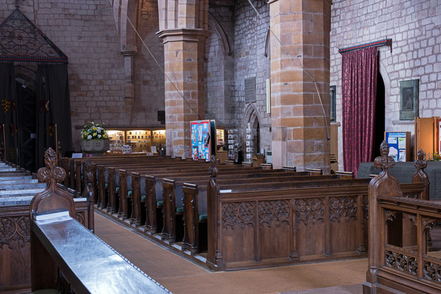
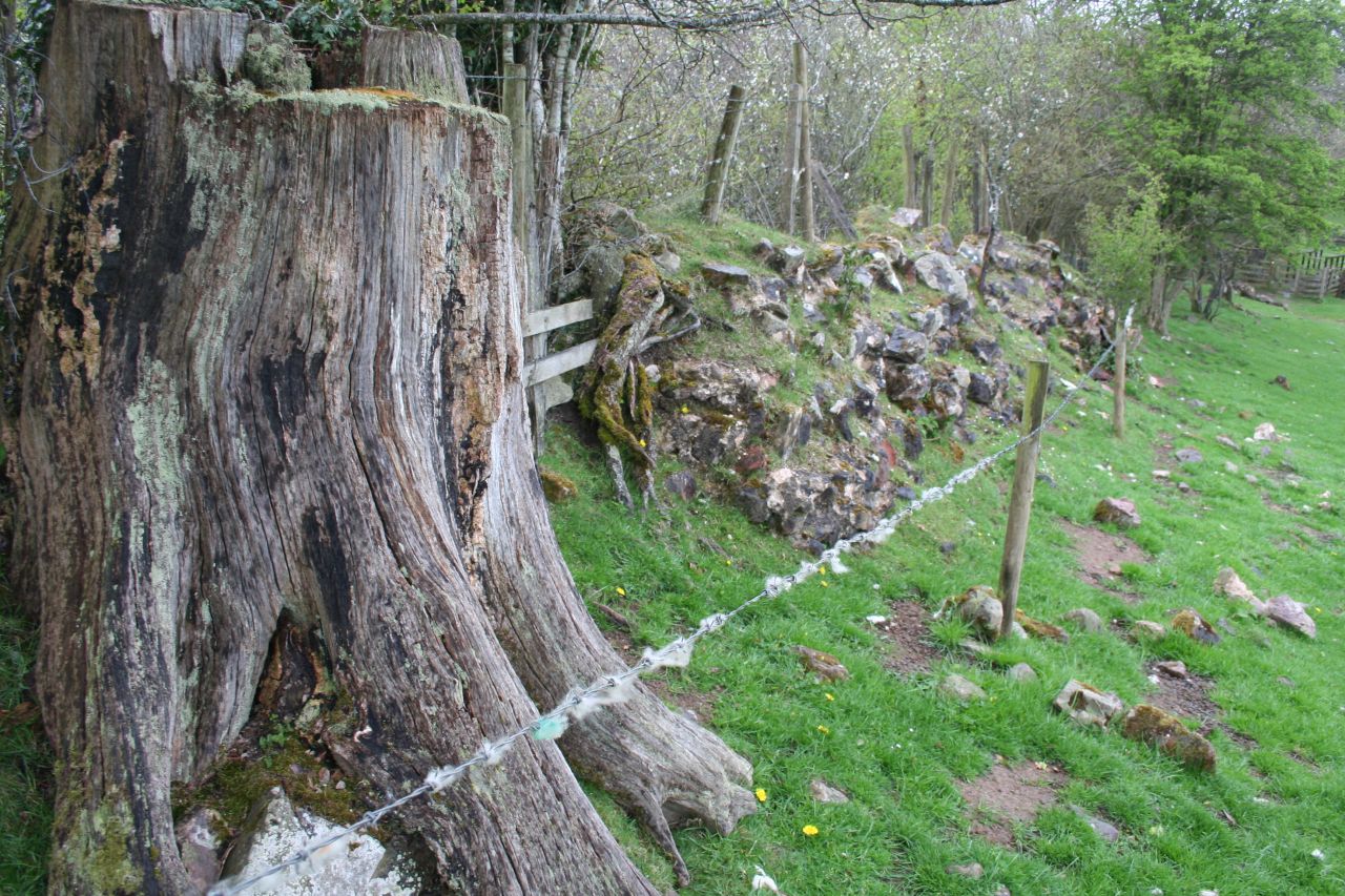
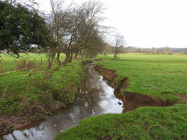
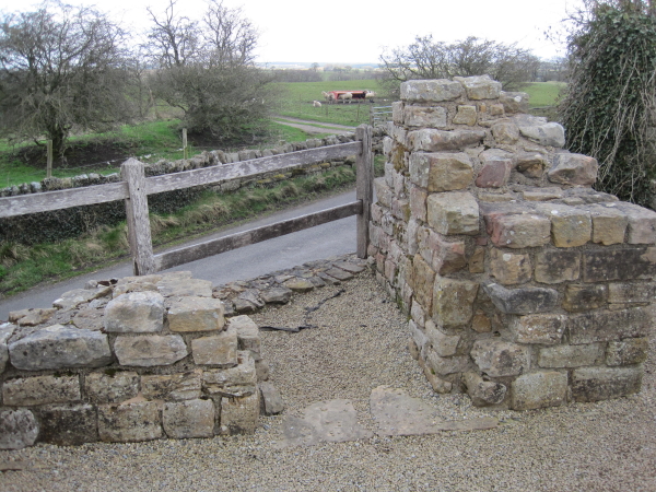
Burtholme Images

Images are sourced within 2km of 54.976014/-2.698486 or Grid Reference NY5564. Thanks to Geograph Open Source API. All images are credited.

Burthinghurst Farmhouse and farm shed.
Burthinghurst
Farmhouse and farm shed.
Stable block, Kingwater Equestrian Centre
Lanercost Priory - March 2016 (1) Tomb of Elizabeth Dacre Howard (detail). See also: <a href="https://www.geograph.org.uk/photo/3190932">NY5563 : Child's Tomb, Lanercost Priory</a> .
Lanercost Priory - March 2016 (1)
Tomb of Elizabeth Dacre Howard (detail). See also: NY5563 : Child's Tomb, Lanercost Priory .
Lanercost Priory - March 2016 (2) Tomb of Sir Humphrey & Lady Mabel Dacre.
Lanercost Priory - March 2016 (2)
Tomb of Sir Humphrey & Lady Mabel Dacre.
Lanercost Priory - March 2016 (3) Tomb of Sir Humphrey & Lady Mabel Dacre and part of the North Transept.
Lanercost Priory - March 2016 (3)
Tomb of Sir Humphrey & Lady Mabel Dacre and part of the North Transept.
Lanercost Priory - March 2016 (4) Remains of the east window.
Lanercost Priory - March 2016 (4)
Remains of the east window.
Lanercost Priory - March 2016 (5) The ruined east end with (to left) the Priory Church of St Mary Magdalene - see also: <a href="https://www.geograph.org.uk/photo/445357">NY5563 : Lanercost Priory, ruined chancel</a> .
Lanercost Priory - March 2016 (5)
The ruined east end with (to left) the Priory Church of St Mary Magdalene - see also: NY5563 : Lanercost Priory, ruined chancel .
Lanercost Priory - March 2016 (6) Remains of monk's dining room - the arched doorway gives access to the undercroft.
Lanercost Priory - March 2016 (6)
Remains of monk's dining room - the arched doorway gives access to the undercroft.
Lanercost Priory - March 2016 (7) Lands adjoining the Priory are still used as a working farm.
Lanercost Priory - March 2016 (7)
Lands adjoining the Priory are still used as a working farm.
Lanercost Priory - March 2016 (8) Dacre tower- part of the family residence created by Thomas Dacre after dissolution of the Priory in 1538.
Lanercost Priory - March 2016 (8)
Dacre tower- part of the family residence created by Thomas Dacre after dissolution of the Priory in 1538.
Lanercost Priory - March 2016 (9) The undercroft - see also: <a href="https://www.geograph.org.uk/photo/3190829">NY5563 : Lanercost Priory Refectory Undercroft</a> .
Lanercost Priory - March 2016 (9)
The undercroft - see also: NY5563 : Lanercost Priory Refectory Undercroft .
Lanercost Priory - March 2016 (10) Dacre Hall - east wall. A residence built by the Dacre family from the former monastic west range. Now in use as the village hall.
Lanercost Priory - March 2016 (10)
Dacre Hall - east wall. A residence built by the Dacre family from the former monastic west range. Now in use as the village hall.
Lanercost Priory - March 2016 (11) Priory Church of St Mary Magdalene (1) - north choir pews. Above the pews can be seen the memorial to Charles Howard (see: <a href="https://www.geograph.org.uk/photo/3190777">NY5563 : Lanercost Priory Church, Memorial to Charles Howard</a> ).
Lanercost Priory - March 2016 (11)
Priory Church of St Mary Magdalene (1) - north choir pews. Above the pews can be seen the memorial to Charles Howard (see: NY5563 : Lanercost Priory Church, Memorial to Charles Howard ).
Lanercost Priory - March 2016 (12) Priory Church of St Mary Magdalene (2) - south choir pews.
Lanercost Priory - March 2016 (12)
Priory Church of St Mary Magdalene (2) - south choir pews.
Lanercost Priory - March 2016 (13) Priory Church of St Mary Magdalene (3) - view down the nave to the west door. For a view to the east window, see: <a href="https://www.geograph.org.uk/photo/3190753">NY5563 : Lanercost Priory Church (Nave and East Window)</a> .
Lanercost Priory - March 2016 (13)
Priory Church of St Mary Magdalene (3) - view down the nave to the west door. For a view to the east window, see: NY5563 : Lanercost Priory Church (Nave and East Window) .
Lanercost Priory - March 2016 (14) Priory Church of St Mary Magdalene (4) - altar and William Morris designed dossal. Commissioned by the 9th Earl of Carlisle from his friend and arts & crafts artist William Morris, the dossal was hung on Easter Day 1887.
Lanercost Priory - March 2016 (14)
Priory Church of St Mary Magdalene (4) - altar and William Morris designed dossal. Commissioned by the 9th Earl of Carlisle from his friend and arts & crafts artist William Morris, the dossal was hung on Easter Day 1887.
Lanercost Priory - March 2016 (15) Priory Church of St Mary Magdalene (5) - detail from the William Morris dossal.
Lanercost Priory - March 2016 (15)
Priory Church of St Mary Magdalene (5) - detail from the William Morris dossal.
Lanercost Priory - March 2016 (16) Priory Church of St Mary Magdalene (6) - nave and north side pews.
Lanercost Priory - March 2016 (16)
Priory Church of St Mary Magdalene (6) - nave and north side pews.
Show me another place!

Burtholme is located at Grid Ref: NY5564 (Lat: 54.976014, Lng: -2.698486)

Administrative County: Cumbria

District: Carlisle

Police Authority: Cumbria

What 3 Words

///passages.ombudsman.decays. Near Brampton, Cumbria

Related Wikis

Milecastle 54

Milecastle 54 (Randylands) was a milecastle on Hadrian's Wall (grid reference NY55066444). == Description == Milecastle 54 is on a west-facing hill-slope...

Burtholme

Burtholme refers to any of a civil parish in Cumbria, England, a hamlet within that parish or a family name originally linked to the place. It also appears...

Lanercost

Lanercost is a village in the northern part of Cumbria, England. The settlement is in the civil parish of Burtholme, in the City of Carlisle local government...

Milecastle 53

Milecastle 53 (Banks Burn) was a milecastle on Hadrian's Wall (grid reference NY56486460). == Description == Milecastle 53 is west of the hamlet of Banks...
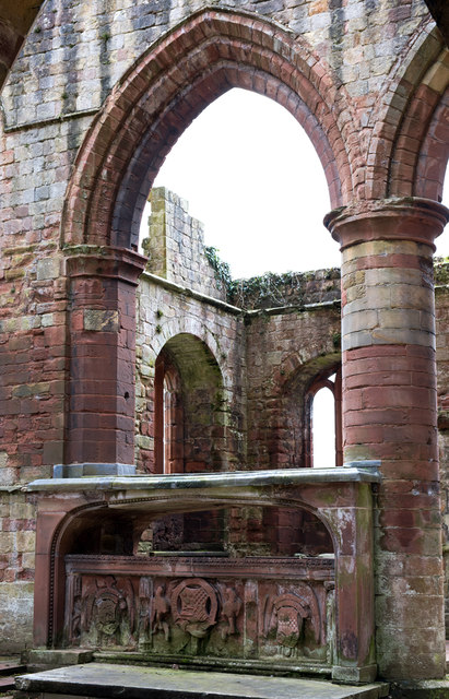
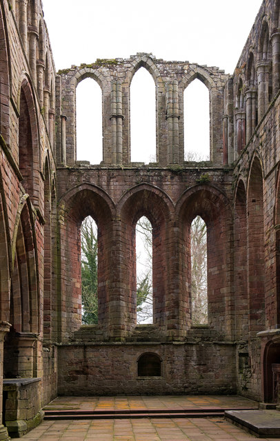
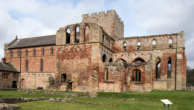
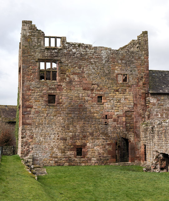
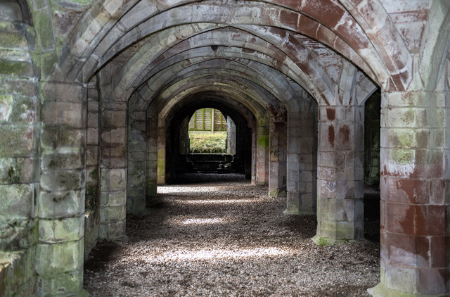
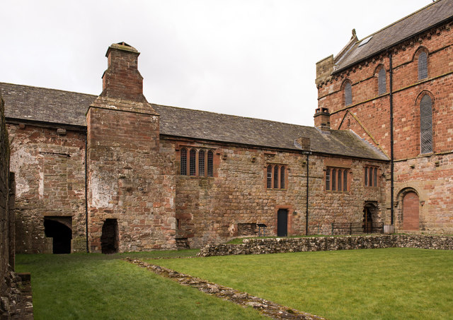
Lanercost Priory

Lanercost Priory was founded by Robert de Vaux between 1165 and 1174, the most likely date being 1169, to house Augustinian canons. The priory is situated...

Banks, Cumbria

Banks is a village in Cumbria, England, astride the course of Hadrian's Wall, 3 mile (5 km) NE of the market town of Brampton. The historic Lanercost Priory...

Milecastle 55

Milecastle 55 (Low Wall) was a milecastle on Hadrian's Wall (grid reference NY53596437). == Description == Milecastle 55 is in a pasture field east of...

Pike Hill Signal Tower

Pike Hill Signal Tower was one of a number of signal stations that were built on high ground overlooking the line of the Roman Stanegate road in northern...

Nearby Amenities

Located within 500m of 54.976014,-2.698486
Mile Castle 54
Historic: archaeological_site
Is In County: Cumberland
Source: NLS-OS-1st_Series
Wikidata: Q16206481
Wikipedia: en:Milecastle 54
Lat/Long: 54.9727111/-2.7034746
Turret 53B
Historic: archaeological_site
Source: NLS-OS-1st_Series
Lat/Long: 54.9733403/-2.6969914
Power: pole
Lat/Long: 54.9781173/-2.6917379
Power: pole
Lat/Long: 54.9715375/-2.6990717
Power: pole
Lat/Long: 54.9723922/-2.6992839
Power: pole
Lat/Long: 54.9730353/-2.6994363
The data included in this document is from www.openstreetmap.org. The data is made available under ODbL.

Have you been to Burtholme?

Leave your review of Burtholme below (or comments, questions and feedback).