Burghill

Civil Parish in Herefordshire

England

Burghill

Wheat Field
Wheat Field Credit: Julian P Guffogg

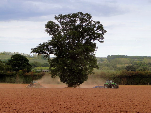
Burghill is a civil parish located in the county of Herefordshire, England. It is situated approximately four miles northwest of the city of Hereford, the county town. The parish covers an area of about 1,400 acres and is predominantly rural in nature.

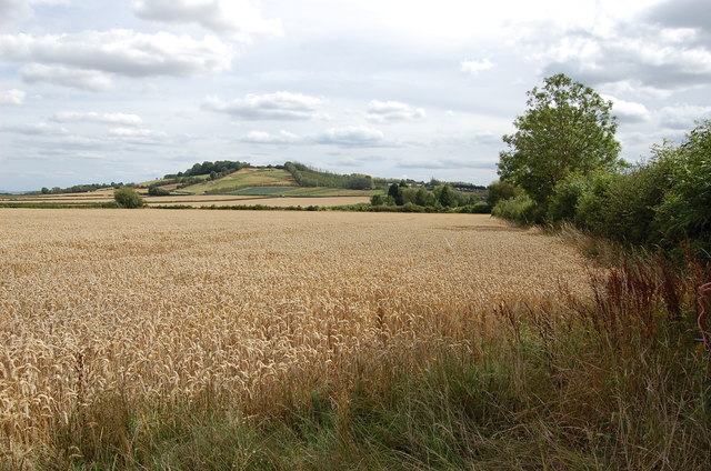
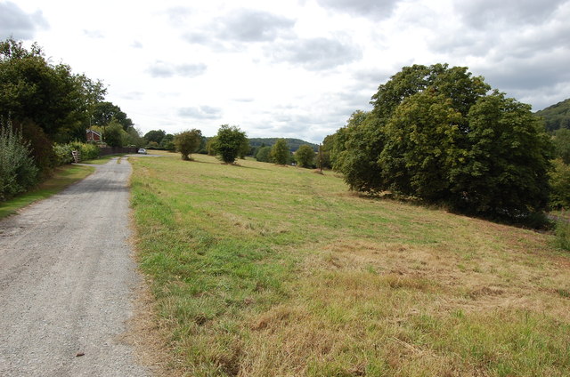
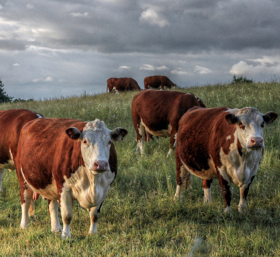
The village of Burghill itself is a small and picturesque settlement, with a population of around 500 residents. It is surrounded by beautiful countryside, characterized by rolling hills, farmland, and woodland. The parish is known for its tranquil and idyllic setting, offering a peaceful escape from urban life.

The village is home to a number of historic buildings, including the Church of St. Mary the Virgin, which dates back to the 12th century. The church is a notable landmark and a focal point for the local community. There are also several traditional cottages and farmhouses that add to the village's charm and character.

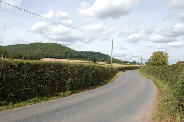
Despite its rural setting, Burghill benefits from good transport links, with the A4110 road passing through the parish, providing easy access to Hereford and other nearby towns and villages. The village also has a primary school, a village hall, and a pub, which serve as important amenities for the local population.

Overall, Burghill, Herefordshire, is a peaceful and picturesque civil parish that offers a rural retreat while still being within easy reach of urban amenities. Its historic buildings, natural beauty, and close-knit community make it an attractive place to live or visit.

If you have any feedback on the listing, please let us know in the comments section below.

Burghill Images

Images are sourced within 2km of 52.103156/-2.76856 or Grid Reference SO4745. Thanks to Geograph Open Source API. All images are credited.

Wheat Field
Wheat Field
Lane from Tillington Towards the A4110
Lane from Tillington
Towards the A4110
Tillington Common
Tillington Common
Ploughing, Michdene Farm
Herefordshire oast houses
Burghill Court Handsome Georgian country house on the edge of this prosperous village just outside Hereford.
Burghill Court
Handsome Georgian country house on the edge of this prosperous village just outside Hereford.
Herefordshire pastures Looking west from the Burghill Road with Credenhill Wood in the distance.
Herefordshire pastures
Looking west from the Burghill Road with Credenhill Wood in the distance.
Crate of apples Crate of apples from Tillington fruit farm
Crate of apples
Crate of apples from Tillington fruit farm
Burghill Court, Burghill The concealment of a bay by the rapacious ivy has a disorienting effect on the facade. Its removal since this photo shows that there are windows underneath (see <a href="https://www.geograph.org.uk/photo/2746786">SO4744 : Burghill Court</a>). The house was built c1773-76 for Benjamin Biddulph, almost certainly to the designs of Anthony Keck. Quite a grand Greek Doric porch. Grade II listed.
Keck's design has been ill-served by later alterations, possibly connected to its division into two separate residences, as evidenced by a pre-partition photo of c1865: <a href="https://www.geograph.org.uk/photo/4757375">SO4744 : Burghill Court, Burghill (c1865)</a>.
------------------------------------------------------------------------------------------------------------
Keck (1726-97) was one of a breed of skilled, provincial builder-architects who, during the C18th and early C19th, created substantial parts of the built fabric of the country that we see today. He established a practice in Gloucestershire and worked mainly there and in Worcestershire and Herefordshire. He designed a number of pleasing medium-sized country houses, that mainstay of successful Georgian architects, and was also involved in designing locks on the Stroudwater Canal.
------------------------------------------------------------------------------------------------------------
Burghill Court, Burghill
The concealment of a bay by the rapacious ivy has a disorienting effect on the facade. Its removal since this photo shows that there are windows underneath (see SO4744 : Burghill Court). The house was built c1773-76 for Benjamin Biddulph, almost certainly to the designs of Anthony Keck. Quite a grand Greek Doric porch. Grade II listed. Keck's design has been ill-served by later alterations, possibly connected to its division into two separate residences, as evidenced by a pre-partition photo of c1865: SO4744 : Burghill Court, Burghill (c1865). ------------------------------------------------------------------------------------------------------------ Keck (1726-97) was one of a breed of skilled, provincial builder-architects who, during the C18th and early C19th, created substantial parts of the built fabric of the country that we see today. He established a practice in Gloucestershire and worked mainly there and in Worcestershire and Herefordshire. He designed a number of pleasing medium-sized country houses, that mainstay of successful Georgian architects, and was also involved in designing locks on the Stroudwater Canal. ------------------------------------------------------------------------------------------------------------
Large pond at Tillington Hidden away near the village shop.
Large pond at Tillington
Hidden away near the village shop.
Orchard road Dessert apple orchards near Tillington, viewed as emerging from the kissing gate on the footpath entering the square from the west.
Orchard road
Dessert apple orchards near Tillington, viewed as emerging from the kissing gate on the footpath entering the square from the west.
Cider orchard Viewed from the bridleway just west of the A4110 at The Parks.
Cider orchard
Viewed from the bridleway just west of the A4110 at The Parks.
Farmland near Moreton on Lugg The same scene as the first Geograph for this square taken May 2006 - <a href="https://www.geograph.org.uk/photo/168033">SO4945 : Near Moreton on Lugg</a>.
Plus a wheel cover from a Vauxhall (funny how they nearly always are...?)
Farmland near Moreton on Lugg
The same scene as the first Geograph for this square taken May 2006 - SO4945 : Near Moreton on Lugg. Plus a wheel cover from a Vauxhall (funny how they nearly always are...?)
Bronze prize A young beech tree by the entrance to St. Donat's Farm.
In the distance is the wooded Dinmore ridge and the pointed Pyon Hill.
Bronze prize
A young beech tree by the entrance to St. Donat's Farm. In the distance is the wooded Dinmore ridge and the pointed Pyon Hill.
St. Donat's farm, Portway Converted oast house by the Canon Pyon Road north of Hereford.
St. Donat's farm, Portway
Converted oast house by the Canon Pyon Road north of Hereford.
Muddy entrance and patch of woodland Plus remnants of a rape crop south of Moreton Road, Burghill.
Muddy entrance and patch of woodland
Plus remnants of a rape crop south of Moreton Road, Burghill.
Road to Burghill The tower of Burghill church can be seen; beyond is wooded Credenhill.
Road to Burghill
The tower of Burghill church can be seen; beyond is wooded Credenhill.
Burghill Church road on a fine December morning.
To the left are the scarlet berries of Viburnum opulus, Guelder Rose.
See close up <a href="https://www.geograph.org.uk/photo/3788044">SO4744 : Viburnum opulus berries</a>
Burghill
Church road on a fine December morning. To the left are the scarlet berries of Viburnum opulus, Guelder Rose. See close up SO4744 : Viburnum opulus berries
Show me another place!

Burghill is located at Grid Ref: SO4745 (Lat: 52.103156, Lng: -2.76856)

Unitary Authority: County of Herefordshire

Police Authority: West Mercia

What 3 Words

///picnic.locate.shining. Near Wellington, Herefordshire

Nearby Locations

Burghill

Related Wikis

Burghill

Burghill is a village and civil parish in Herefordshire, England, north-west of Hereford. The parish includes the villages of Burghill, Tillington, Portway...

St Mary's Hospital, Burghill

St. Mary's Hospital was a psychiatric facility located in the village of Burghill, Herefordshire. == History == Herefordshire initially utilised subscription...

Upper Lyde

Upper Lyde is a small village in Herefordshire, England, around 4 miles (6 km) north of Hereford city centre. It forms part of the Pipe and Lyde civil...

Herefordshire

Herefordshire ( HERR-if-ərd-sheer, -⁠shər) is a ceremonial county in the West Midlands of England. It is bordered by Gloucestershire to the south-east...

Nearby Amenities

Located within 500m of 52.103156,-2.76856
Generator Method: photovoltaic
Generator Output Electricity: yes
Generator Source: solar
Generator Type: solar_photovoltaic_panel
Location: roof
Power: generator
Lat/Long: 52.0990699/-2.7680558
The data included in this document is from www.openstreetmap.org. The data is made available under ODbL.

Have you been to Burghill?

Leave your review of Burghill below (or comments, questions and feedback).