Burghfield
Civil Parish in Berkshire
England
Burghfield

Burghfield is a civil parish located in the county of Berkshire, England. It is situated about 7 miles southwest of the town of Reading and covers an area of approximately 15 square kilometers. The parish is made up of three distinct areas: Burghfield Common, Burghfield Village, and Grazeley.
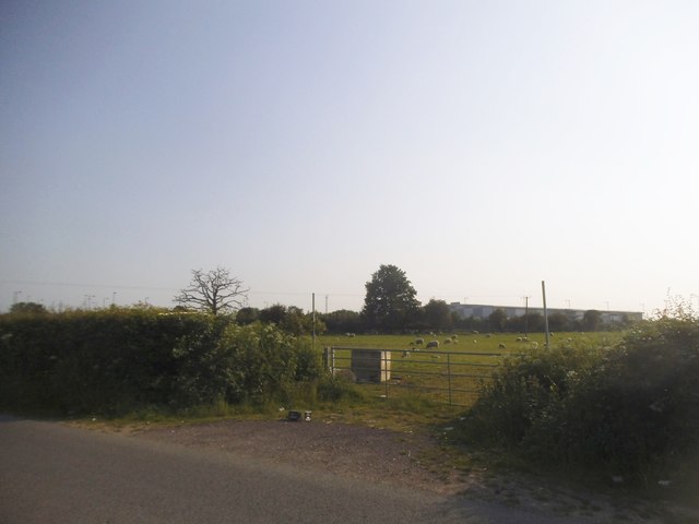
Burghfield Common is the largest and most populous area within the parish. It is a vibrant community with a range of amenities, including shops, schools, and sports facilities. The common itself is a popular recreational area, offering open spaces for walking, picnicking, and sports activities.
Burghfield Village, located to the west of Burghfield Common, has a more rural and picturesque character. It is home to a number of historic buildings, including St. Mary's Church, which dates back to the 12th century. The village also has a primary school and a village hall, which serves as a hub for community events and activities.
Grazeley is a small hamlet within the parish, situated to the east of Burghfield Common. It is primarily a residential area, with a mix of modern housing and older, characterful properties.
Burghfield is well-connected to surrounding towns and cities, with good transport links via road and rail. The M4 motorway runs to the north of the parish, providing easy access to London and Bristol. The nearby town of Reading offers further amenities and employment opportunities.
Overall, Burghfield is a diverse and attractive civil parish, offering a mix of rural charm and modern conveniences. It is a popular place to live, with a strong sense of community and a range of amenities to cater to its residents' needs.
If you have any feedback on the listing, please let us know in the comments section below.
Burghfield Images
Images are sourced within 2km of 51.417867/-1.038053 or Grid Reference SU6669. Thanks to Geograph Open Source API. All images are credited.


Burghfield is located at Grid Ref: SU6669 (Lat: 51.417867, Lng: -1.038053)
Unitary Authority: West Berkshire
Police Authority: Thames Valley
What 3 Words
///spot.cost.speeds. Near Calcot, Berkshire
Nearby Locations
Related Wikis
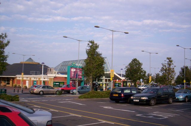
Reading services
Reading services comprises a pair of adjacent motorway service areas on the M4 motorway to the south of the town of Reading in the English county of Berkshire...

Burghfield
Burghfield is a village and large civil parish in West Berkshire, England, with a boundary with Reading. Burghfield can trace its history back to before...

Clayhill Brook
Clayhill Brook is a small stream in southern England, in the county of Berkshire. == Route == The brook rises at Benham's Gulley in the far West of Burghfield...

Burghfield Bridge
Burghfield Bridge is a hamlet in the civil parish of Burghfield in Berkshire, England. The settlement is situated between the village of Burghfield and...

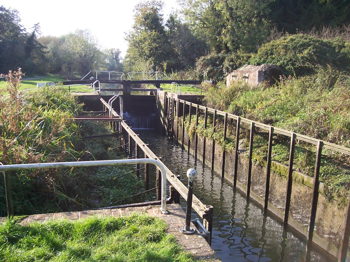
Burghfield Lock
Burghfield Lock is a lock on the River Kennet at Burghfield in the English county of Berkshire. Burghfield Lock was built between 1718 and 1723 under the...

Hosehill Lake
Hosehill Lake is a 23.6-hectare (58-acre) Local Nature Reserve west of Reading in Berkshire. It is owned by West Berkshire Council and managed by the...

Lockram Brook
Lockram Brook is a small stream in southern England. It rises near the Berkshire village of Mortimer, and is a tributary of Burghfield Brook. == Route... ==
Garston Lock
Garston Lock (grid reference SU655707) is a lock on the Kennet and Avon Canal. It is near the M4 motorway and near Reading, England. Garston Lock was...
Nearby Amenities
Located within 500m of 51.417867,-1.038053Have you been to Burghfield?
Leave your review of Burghfield below (or comments, questions and feedback).