Bennettshill Copse

Wood, Forest in Berkshire

England

Bennettshill Copse

Roundabout and houses, Sheffield Bottom The roundabout is a fairly recent replacement for a three-way junction with a fairly large grass triangle. The houses were aligned with one side of the triangle, and a fragment remains for access.
Roundabout and houses, Sheffield Bottom Credit: Robin Webster

Bennettshill Copse is a picturesque woodland area located in Berkshire, England. Nestled amidst the beautiful countryside, this copse is known for its stunning natural beauty and diverse flora and fauna. Spanning over several acres, it offers a peaceful retreat for nature enthusiasts and those seeking solace in the outdoors.

The copse is predominantly composed of deciduous trees, including oak, beech, and birch, which create a dense canopy and provide ample shade during the summer months. This creates a perfect habitat for a variety of wildlife, such as deer, foxes, squirrels, and numerous species of birds. It is not uncommon to spot a woodpecker or a red kite soaring above the treetops.

The forest floor is adorned with a blanket of wildflowers, including bluebells, primroses, and wood anemones, which bloom in vibrant colors during the spring season. Walking through the copse, one can also encounter a small stream that meanders its way through the woods, adding to the tranquility of the surroundings.

Bennettshill Copse is a popular destination for nature walks, photography, and birdwatching. There are several well-marked trails that wind through the copse, allowing visitors to explore the area at their own pace. The copse is also home to a variety of fungi, making it an excellent spot for mushroom enthusiasts.

Overall, Bennettshill Copse in Berkshire is a haven of natural beauty, offering visitors an opportunity to immerse themselves in the peacefulness of the woodlands and appreciate the wonders of the surrounding environment.

If you have any feedback on the listing, please let us know in the comments section below.

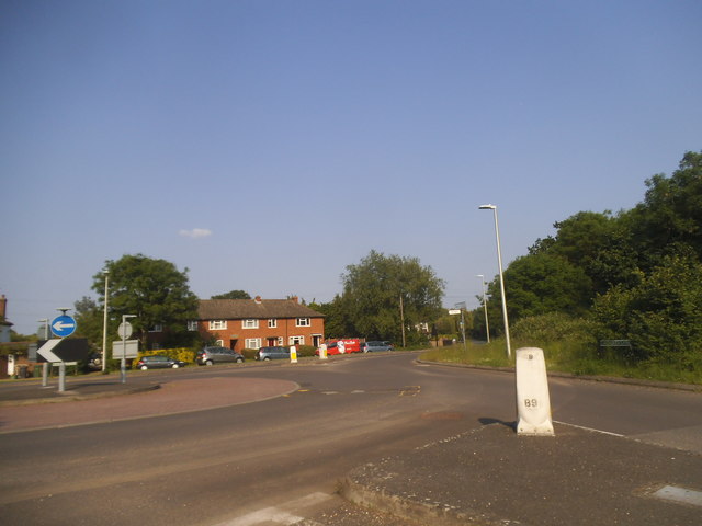
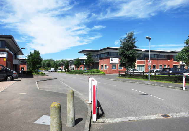
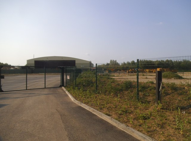
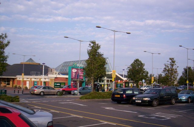
Bennettshill Copse Images

Images are sourced within 2km of 51.422786/-1.0480345 or Grid Reference SU6669. Thanks to Geograph Open Source API. All images are credited.

Roundabout and houses, Sheffield Bottom The roundabout is a fairly recent replacement for a three-way junction with a fairly large grass triangle. The houses were aligned with one side of the triangle, and a fragment remains for access.
Roundabout and houses, Sheffield Bottom
The roundabout is a fairly recent replacement for a three-way junction with a fairly large grass triangle. The houses were aligned with one side of the triangle, and a fragment remains for access.
Reading Services exit, M4 The M4 is 190 miles long and runs from London to South Wales. Major centres close to the motorway include Reading, Swindon, Bristol, Newport, Cardiff and Swansea. The motorway was constructed between 1961 and 1996. The M4 originally crossed the first Severn Road Bridge. It has now been diverted to use the Second Severn Crossing and the motorway over the older bridge has been renumbered as M48.
Wikipedia: <span class="nowrap"><a title="http://en.wikipedia.org/wiki/M4_motorway" rel="nofollow ugc noopener" href="http://en.wikipedia.org/wiki/M4_motorway">Link</a><img style="margin-left:2px;" alt="External link" title="External link - shift click to open in new window" src="https://s1.geograph.org.uk/img/external.png" width="10" height="10"/></span>
Reading Services exit, M4
The M4 is 190 miles long and runs from London to South Wales. Major centres close to the motorway include Reading, Swindon, Bristol, Newport, Cardiff and Swansea. The motorway was constructed between 1961 and 1996. The M4 originally crossed the first Severn Road Bridge. It has now been diverted to use the Second Severn Crossing and the motorway over the older bridge has been renumbered as M48. Wikipedia: LinkExternal link
Farmland, Burghfield, Berkshire
Bottom Lane at the junction of Jaques Lane
Roundabout on Jaques Lane, Sherfield Bottom
Bennett's Hill at the junction of Deans Copse Road
The entrance to Hadley Skip Hire, Sheffield Bottom
The entrance to Hadley Waste Disposal, Trash Green
Field by Deans Copse Road, Burghfield
Hosehill Lake One of many old gravel pits around here, now a nature reserve.
Hosehill Lake
One of many old gravel pits around here, now a nature reserve.
Business Park, Sheffield Bottom A small commercial estate on a patch of land that hasn't been quarried away by gravel digging.
Business Park, Sheffield Bottom
A small commercial estate on a patch of land that hasn't been quarried away by gravel digging.
Amners Farm, Burghfield
Looking towards Amners Farm, Burghfield
Amners Farm Road, Burghfield
The entrance to Hadley Skip Hire, Sheffield Bottom
Mess around a Gravel Pit The pits themselves eventually settle down into nice lakes enjoyed by anglers, birds, sailors etc. but around the edges sometimes you get left with old dumps like this, still an eyesore years after the gravel people have gone.
Mess around a Gravel Pit
The pits themselves eventually settle down into nice lakes enjoyed by anglers, birds, sailors etc. but around the edges sometimes you get left with old dumps like this, still an eyesore years after the gravel people have gone.
Houses near Amner's Farm On a cut-off bit of road that was probably the main thoroughfare before the M4 construction changed the alignments.
Houses near Amner's Farm
On a cut-off bit of road that was probably the main thoroughfare before the M4 construction changed the alignments.
Show me another place!

Bennettshill Copse is located at Grid Ref: SU6669 (Lat: 51.422786, Lng: -1.0480345)

Unitary Authority: West Berkshire

Police Authority: Thames Valley

What 3 Words

///miss.epic.times. Near Calcot, Berkshire

Related Wikis

Reading services

Reading services comprises a pair of adjacent motorway service areas on the M4 motorway to the south of the town of Reading in the English county of Berkshire...
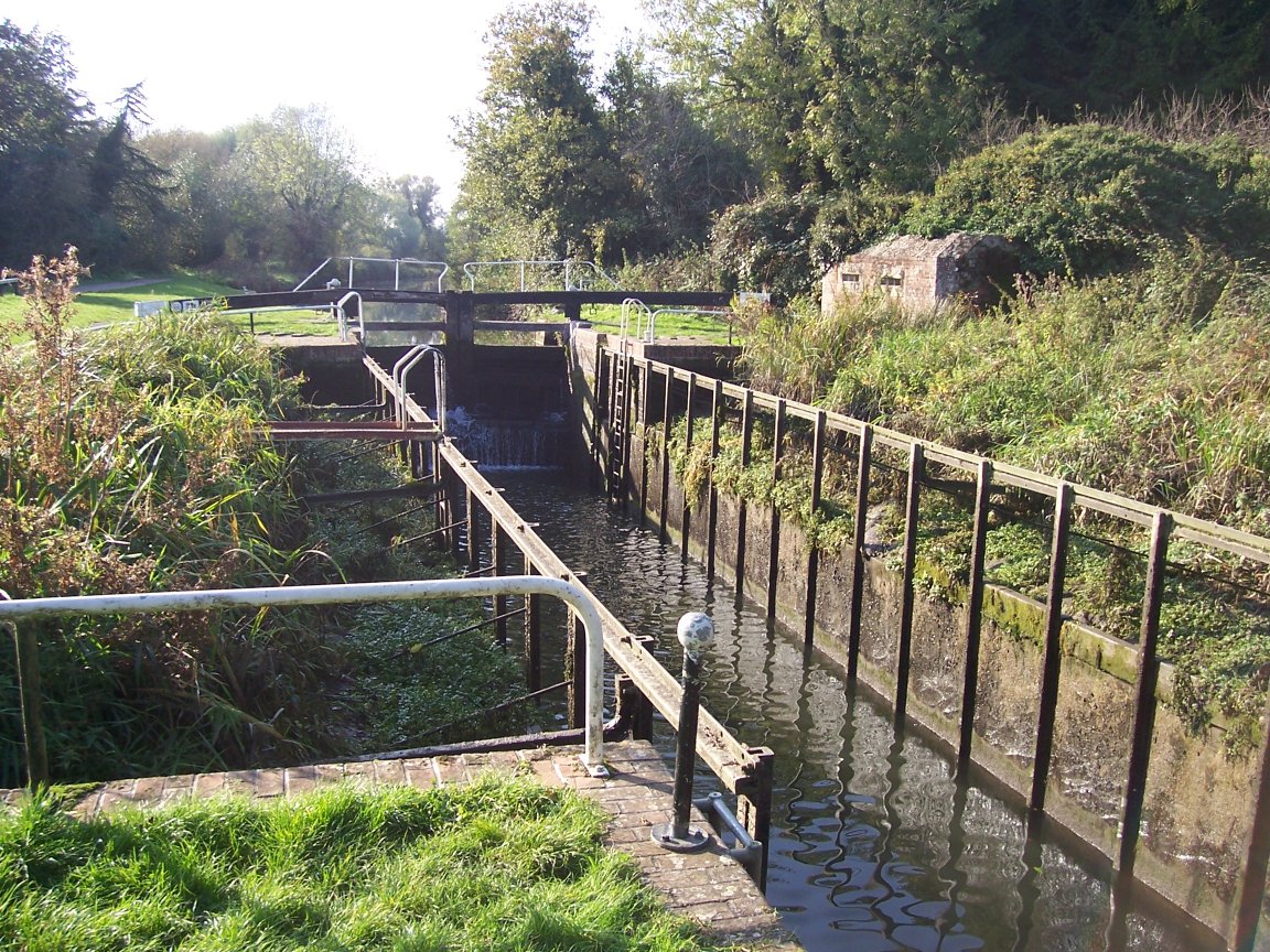
Garston Lock

Garston Lock (grid reference SU655707) is a lock on the Kennet and Avon Canal. It is near the M4 motorway and near Reading, England. Garston Lock was...

RAF Theale

Royal Air Force Theale or more simply RAF Theale is a former Royal Air Force satellite station located south of Theale, Berkshire, England. The following...

Hosehill Lake

Hosehill Lake is a 23.6-hectare (58-acre) Local Nature Reserve west of Reading in Berkshire. It is owned by West Berkshire Council and managed by the...

Burghfield

Burghfield is a village and large civil parish in West Berkshire, England, with a boundary with Reading. Burghfield can trace its history back to before...

Clayhill Brook

Clayhill Brook is a small stream in southern England, in the county of Berkshire. == Route == The brook rises at Benham's Gulley in the far West of Burghfield...

Burghfield Lock

Burghfield Lock is a lock on the River Kennet at Burghfield in the English county of Berkshire. Burghfield Lock was built between 1718 and 1723 under the...

Sheffield Lock

Sheffield Lock, at grid reference SU648706, is a lock on the Kennet and Avon Canal, in the civil parish of Burghfield in the English county of Berkshire...

Nearby Amenities

Located within 500m of 51.422786,-1.0480345
The data included in this document is from www.openstreetmap.org. The data is made available under ODbL.

Have you been to Bennettshill Copse?

Leave your review of Bennettshill Copse below (or comments, questions and feedback).