Brooke
Civil Parish in Rutland
England
Brooke

Brooke is a civil parish located in the county of Rutland, England. It is situated in the East Midlands region, near the border with Leicestershire. The parish covers an area of approximately 4 square miles and has a population of around 300 residents.
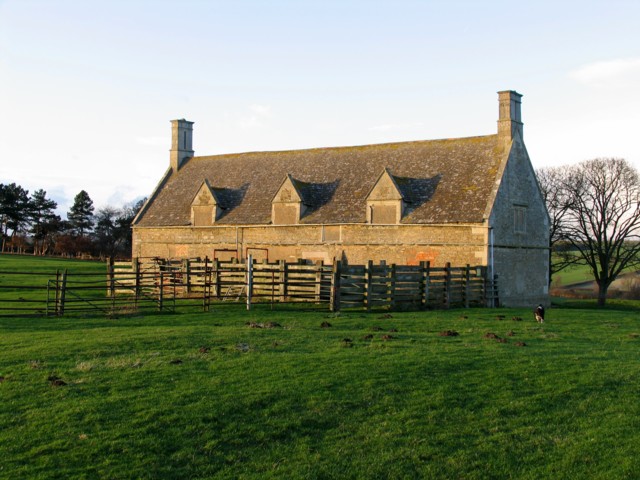
The village of Brooke is small and picturesque, with a charming rural atmosphere. It is surrounded by rolling countryside and offers stunning views of the nearby Rutland Water, a large reservoir renowned for its beauty and wildlife. The village itself is characterized by traditional stone buildings and thatched cottages, giving it a timeless appeal.
Despite its small size, Brooke has a strong sense of community and offers a range of local amenities. These include a village hall, a primary school, and a church, providing residents with access to essential services and a focal point for social gatherings.
The parish is also well-connected to nearby towns and cities. The A6003 road runs through Brooke, providing easy access to Oakham, the county town of Rutland, which is just a short drive away. Leicester, the nearest major city, is approximately 20 miles to the west and can be reached via the A47 road.
Overall, Brooke, Rutland is a peaceful and idyllic parish that offers residents a tranquil countryside lifestyle while still providing access to essential amenities and nearby urban centers.
If you have any feedback on the listing, please let us know in the comments section below.
Brooke Images
Images are sourced within 2km of 52.639402/-0.751552 or Grid Reference SK8405. Thanks to Geograph Open Source API. All images are credited.


Brooke is located at Grid Ref: SK8405 (Lat: 52.639402, Lng: -0.751552)
Unitary Authority: Rutland
Police Authority: Leicestershire
What 3 Words
///publisher.cherish.rotation. Near Brooke, Rutland
Related Wikis
Brooke, Rutland
Brooke is a village and civil parish in the county of Rutland in the East Midlands of England. It is situated about three miles (4.8 km) southwest of Oakham...
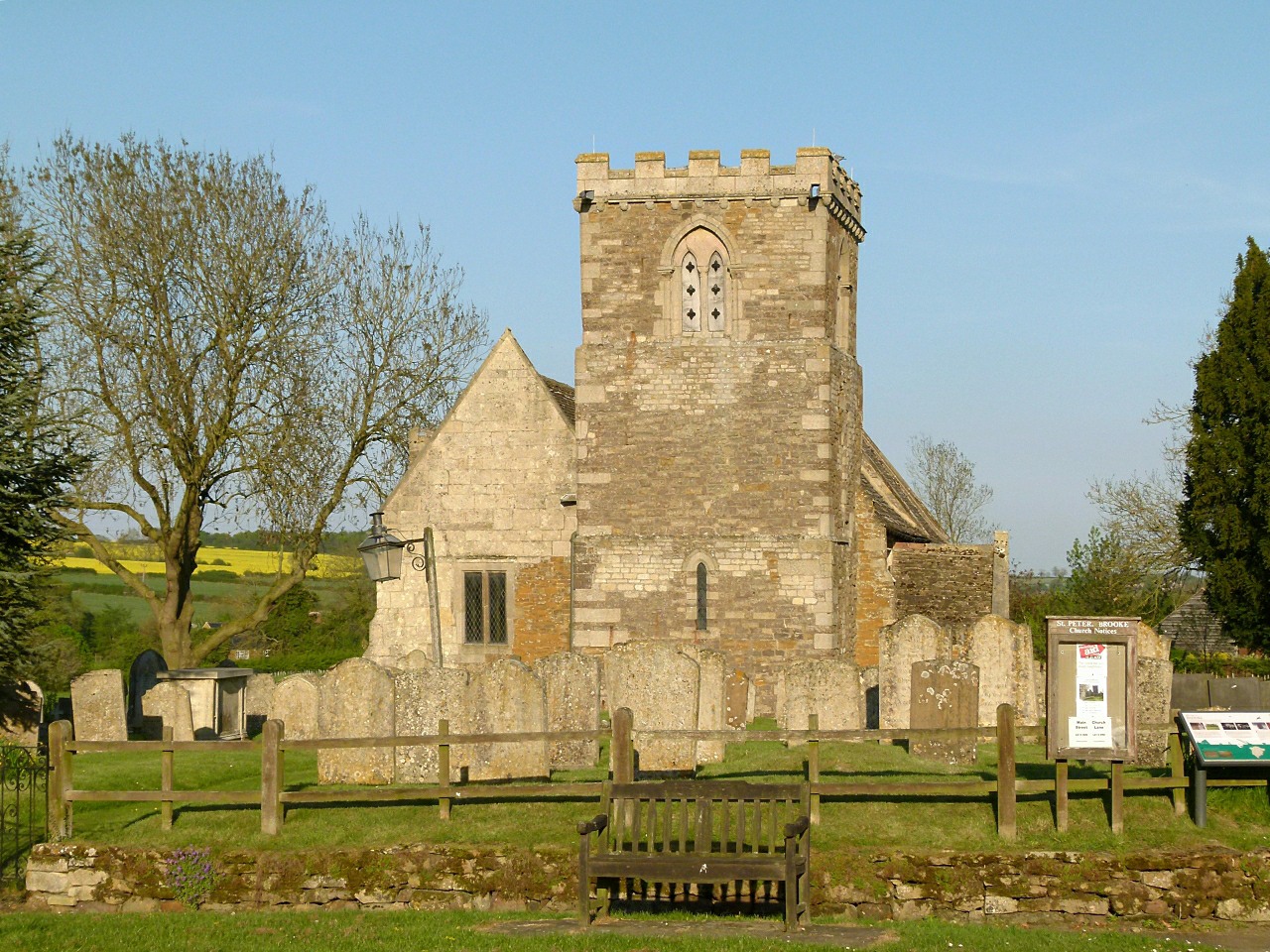
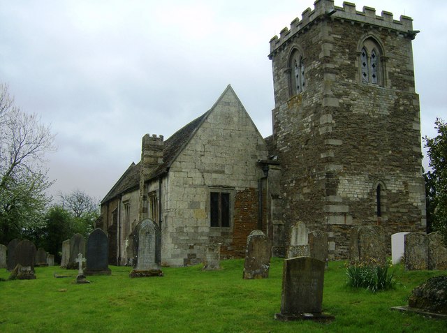
St Peter's Church, Brooke, Rutland
St Peter's Church is a Church of England parish church in Brooke, Rutland. It is a Grade I listed building. == History == The church has a carved doorway...
Brooke Priory
Brooke Priory was a minor house of Augustinian monks in Brooke, Rutland. It was a cell of St Mary's Abbey, Kenilworth. == History == It was founded by...

Oakham Urban District
Oakham was an Urban District in Rutland, England from 1911 to 1974. It was created under the Local Government Act 1894. Oakham Rural District had included...
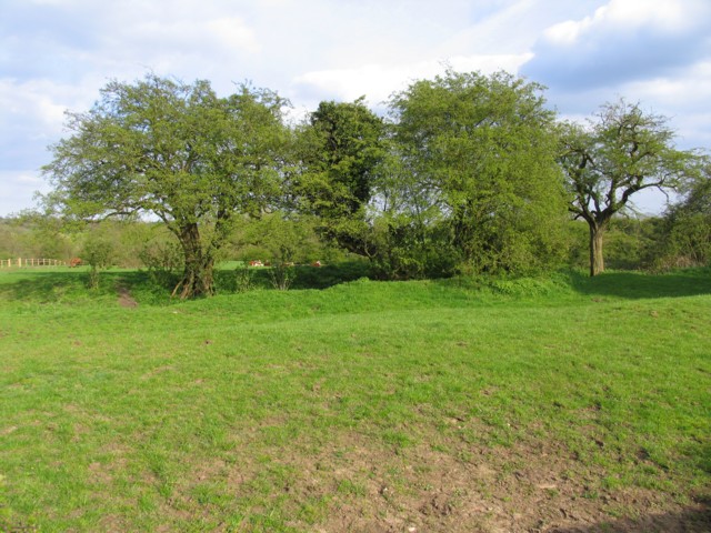
Prior's Coppice
Prior's Coppice is a 27.4-hectare (68-acre) biological Site of Special Scientific Interest south of Oakham in Rutland. It is managed by the Leicestershire...

Braunston-in-Rutland
Braunston-in-Rutland is a village and civil parish in the county of Rutland in the East Midlands of England. The population of the civil parish was 392...
All Saints' Church, Braunston-in-Rutland
All Saints' Church is a Church of England parish church in Braunston-in-Rutland, Rutland. It is a Grade II* listed building. == History == The church dates...
Martinsthorpe
Martinsthorpe is a civil parish in the county of Rutland in the East Midlands of England. The village's name means 'outlying farm/settlement of Martin...
Nearby Amenities
Located within 500m of 52.639402,-0.751552Have you been to Brooke?
Leave your review of Brooke below (or comments, questions and feedback).